How has so much time passed? Was it really 40 years ago that I was a young child, watching in fear as the sky disappeared behind boilings clouds of ash as darkness fell one Sunday mid-morning in May?
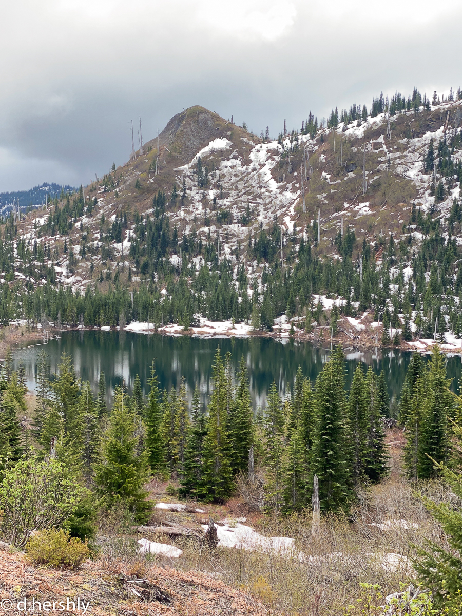
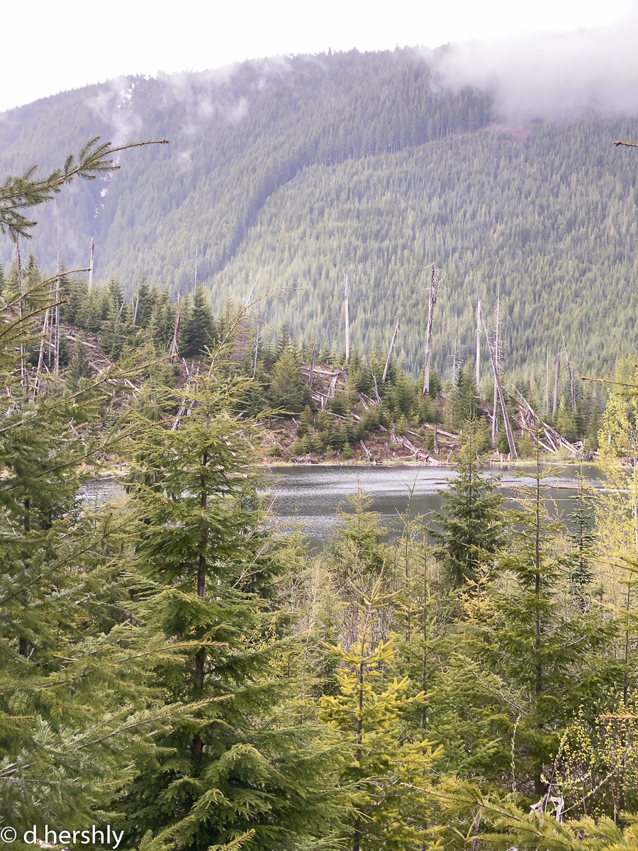
We visited Mt. St. Helens for the first time, post-eruption, in what I believe was 1984. The devastated landscape was beyond lunar, and life struggled to survive only in isolated pockets, such as at Meta Lake, where deep snowdrifts behind the nearby mountain offered protection to only the tiniest saplings, securely buried. When we visited Meta Lake in 1984, the 6″-high saplings were the only green for miles. Look at Meta Lake now!
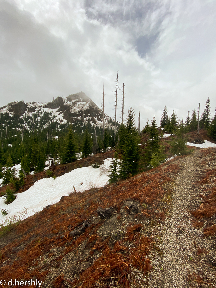
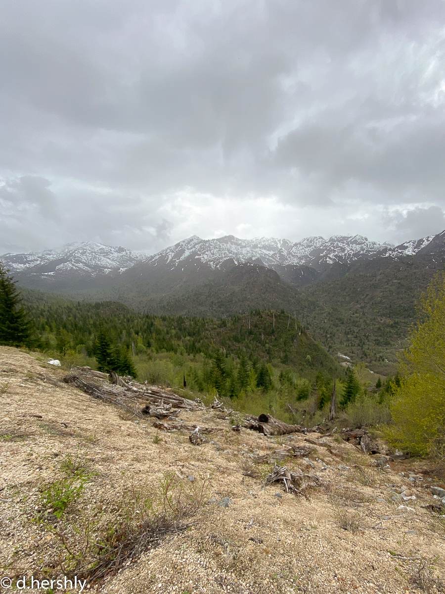
My adventure today takes me along the USFS 26 Rd, the Quartz Creek Canyon Rd, to Ryan Lake. I park near the gate at the 2612 Rd into the Green River Valley, and set off on my bike up toward Norway Pass. The pandemic is in full swing across the country now, and the MSHNVM, like everything else, remains closed for the season. The area is not gated, and is accessible, but I see very few people all day – none at all on my way in.
Once to the Norway Pass TH, I lock my bike up and set off up the Boundary Trail. I’ve not been on this section of the trail, so it is new to me. I don’t make it very far, however, before snow blocks my way. I make my way back down and retrieve my bike – next stop: Meta Lake, which is full to overflowing. Everything is overgrown, and the observation deck is flooded.
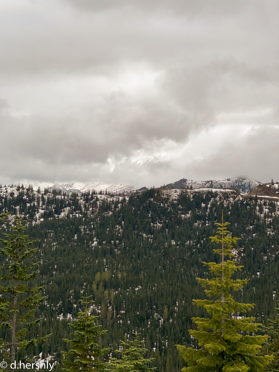
I continue past the snowbank blocking the road at Meta Lake toward the Cascade Peaks Visitor Center, still boarded up for the winter. The road in increasingly choked with snow, and I ditch my bike about a quarter mile shy of the VC. While I enjoy a short lunch under the ragged clouds while sitting atop the stone wall, MSH makes only a minimal appearance.
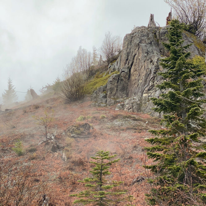
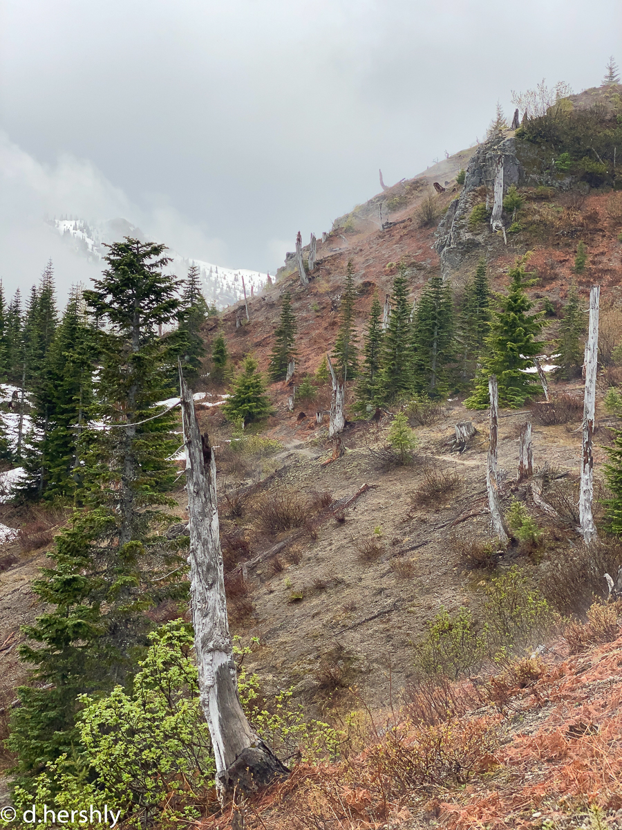
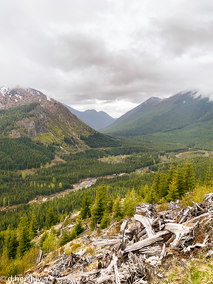
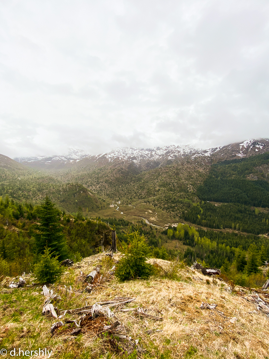
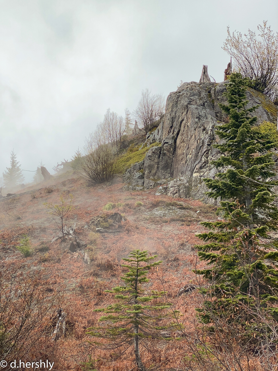
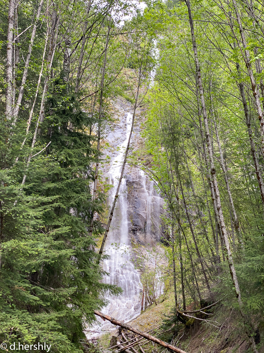
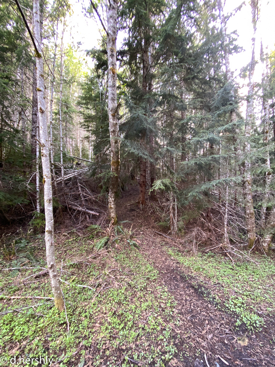
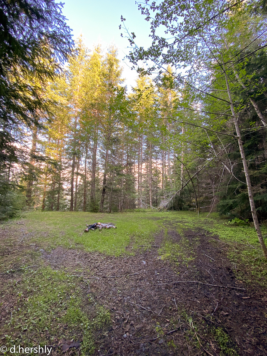
On the way back, I stop in at Ryan Lake, and also for a waterfall on the drive out. I did have a second goal today, tho, and I park alongside the road to fulfill that – I’m looking for the southern trailhead to the Strawberry Mtn. The map shows it being a couple of miles up a short spur road, but that spur is un-drivable now. I park, and walk up the road. It will make a great trail one day, but I don’t think the road will ever be repaired. I found the TH at the end of the road, after passing what might be some good (dry) camping areas. I found no evidence of the historical trail d/t the logging and 2nd-growth, but I was able to find a place where I could imagine a tread to have existed – right where the trail would have been, as it joined back in with the road. However that old trail was laid out, tho, it would have been a brutal climb. It’s probably best lost. I was also unable to find any sign of the historical trail where it would have crossed the present day 26 Rd and headed down toward the mouth of Quartz Creek on the Cispus River.

Leave a Reply