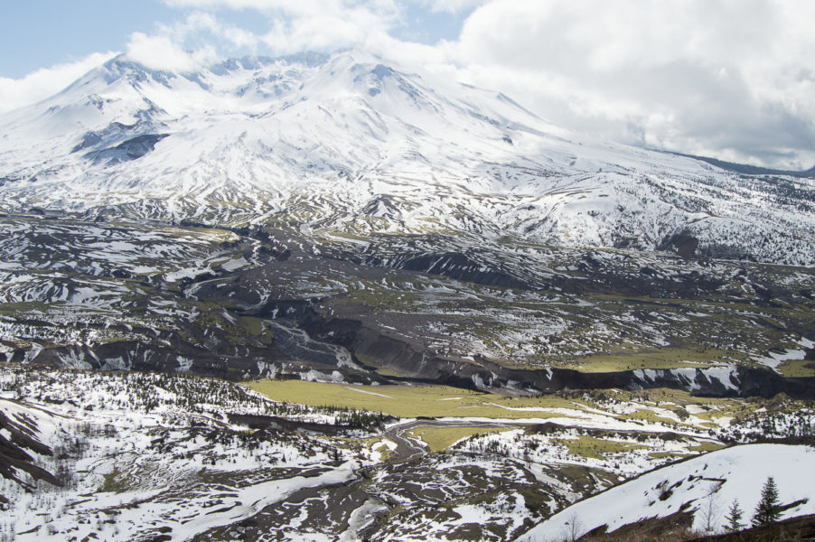
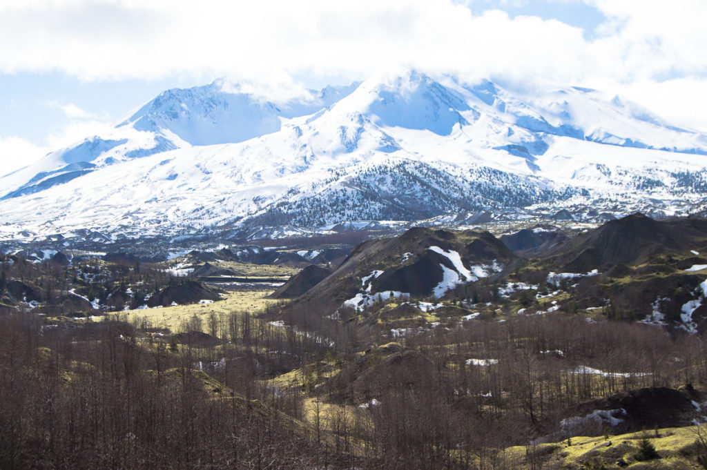
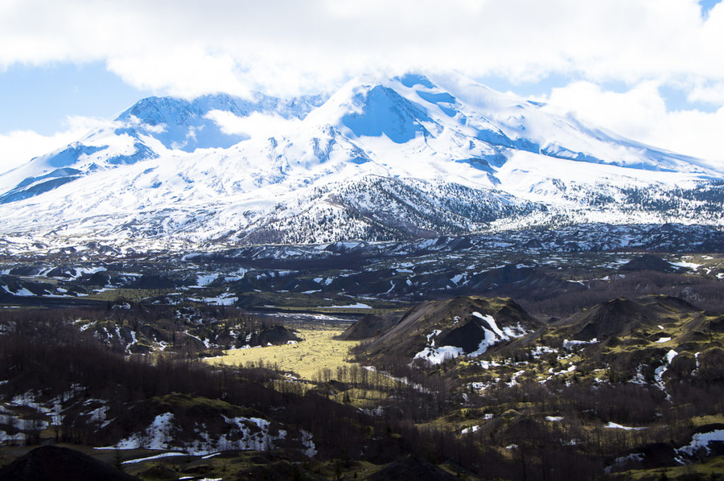
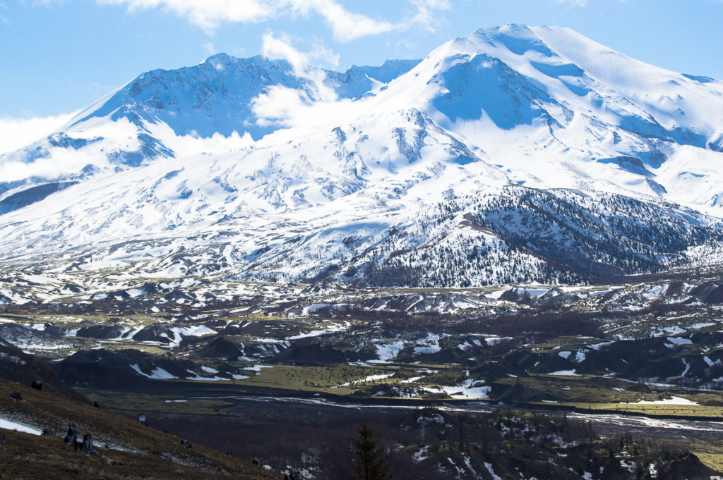
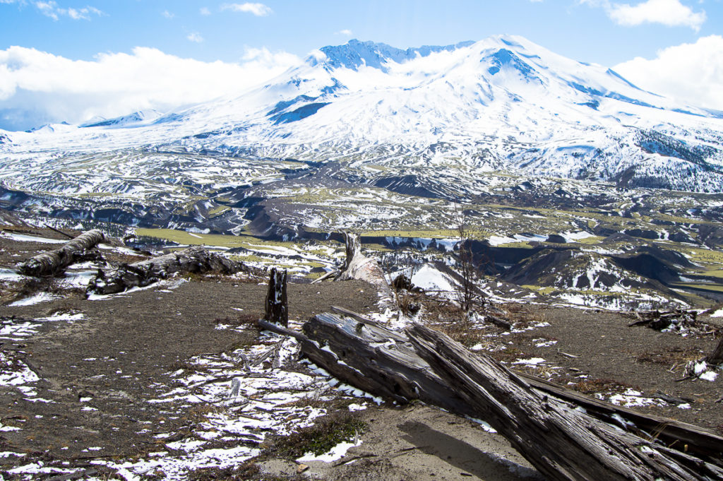
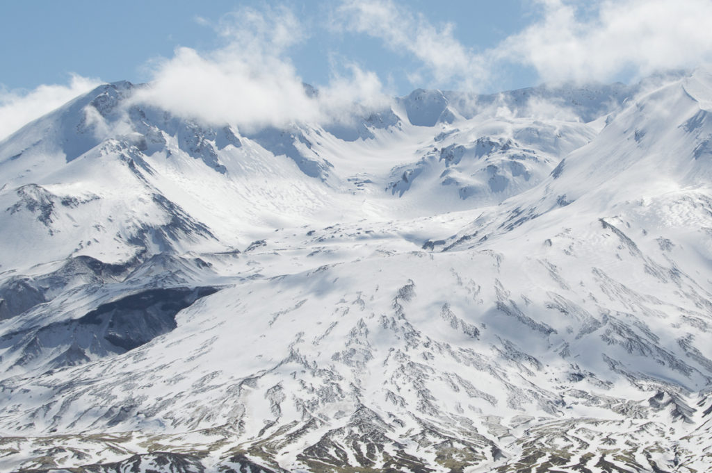
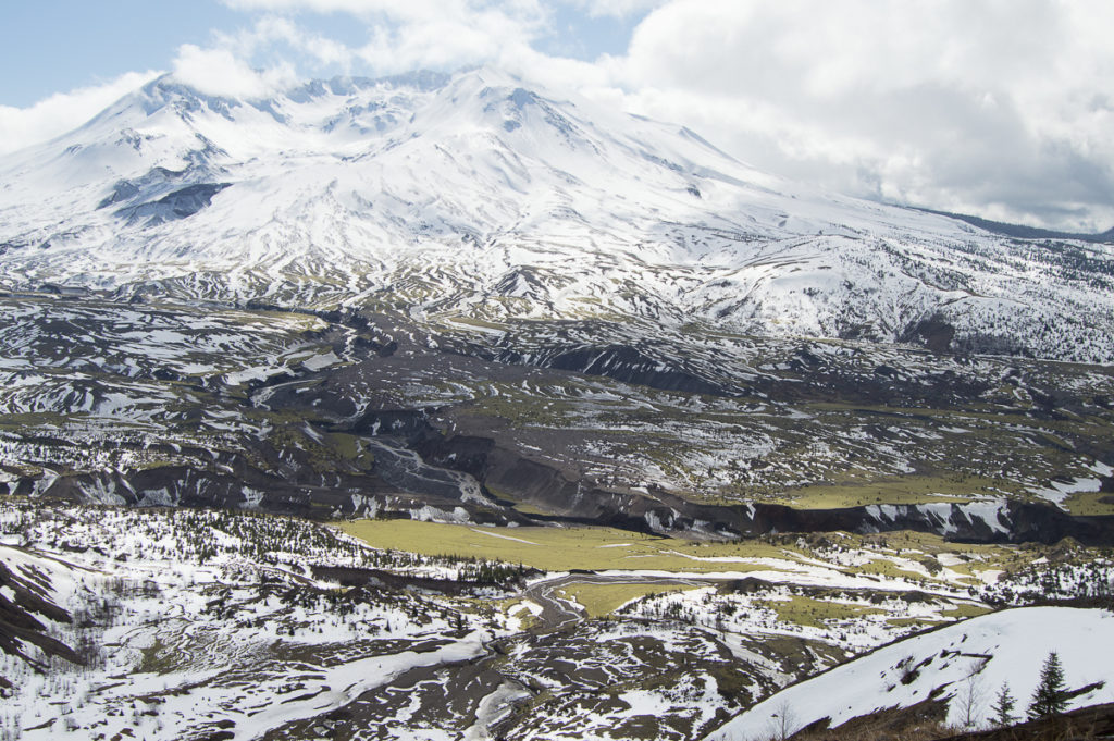
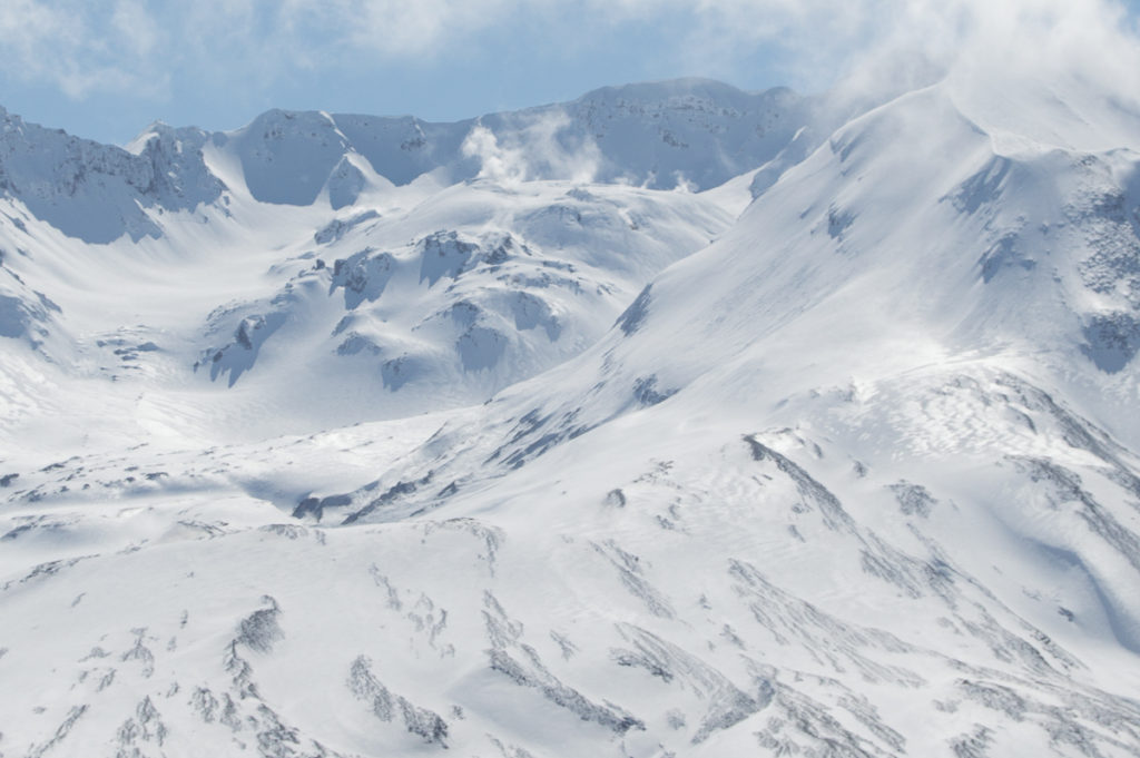
What an unexpectedly awesome birthday! I had a little party – just me, a shy coyote, a not so shy raven, and Loowit, in all of her steaming, snow-mantled, sun-dappled glory. Clouds larger than even mountains drifted across a sunny sky, warming the cliff-side meadows of Johnston Ridge, overlooking the lunar-fractal landscape of the Pumice Plain. Attention, though, was stolen by Loowit, with her gaping maw and steaming dome rising in the center, heavy glaciers on high summit flanks almost too bright to look at in the not-quite-spring sun.
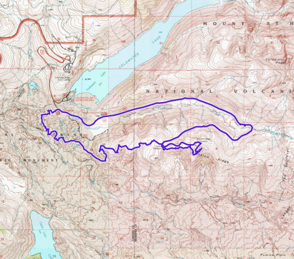
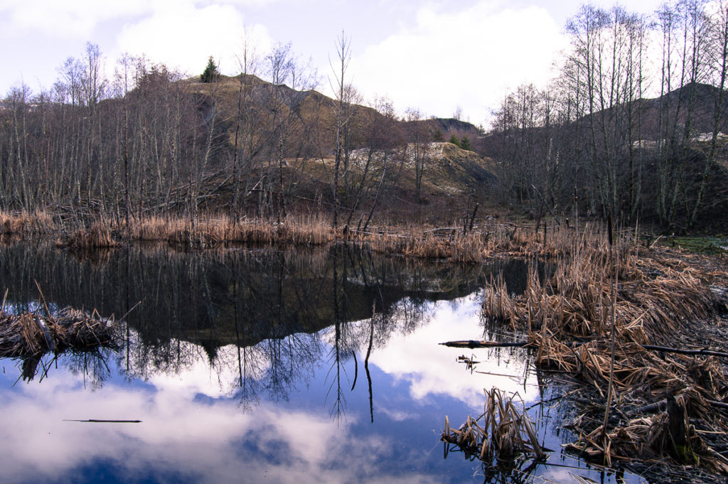
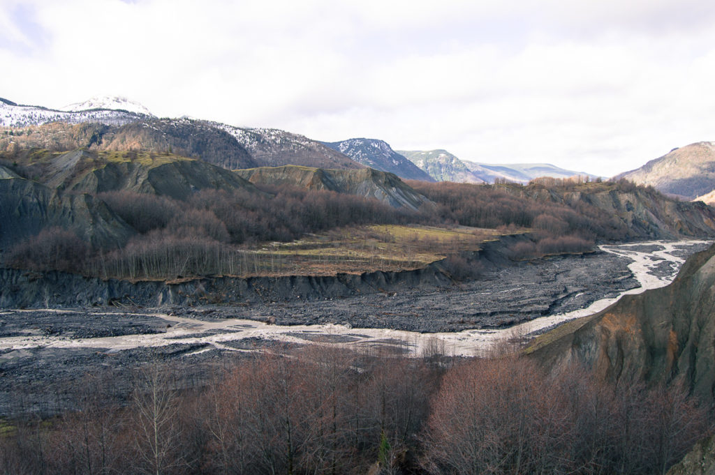
I parked at the Hummocks Trail parking lot, the Spirit Lake Highway being closed and gated beyond that point. At 10:00 AM, the air had a slight touch of chill yet, but was warming rapidly, especially once I broke out into the first open area along the Hummocks trail – I took the long way around to the Boundary Trail, enjoying the views over the NF Toutle River and of a beaver pond, taking a pause to finish my coffee and have a snack on the top of one particularly high hummock. I had forgotten to eat breakfast.
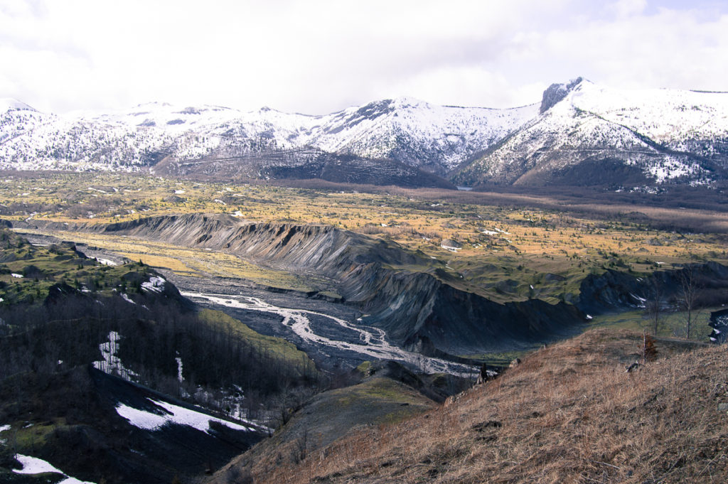
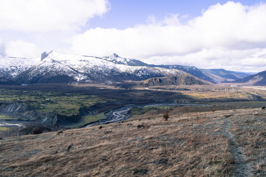
Reaching the Boundary Trail and striking off for Johnston Ridge, the landscape stepped up the drama – the Hummocks area is where the flank and summit of the mountain were blasted laterally into Johnston ridge. Some debris went over into Coldwater canyon, but most was deflected by the ridge to the west and east, with the former significantly displacing Spirit Lake, the latter obliterating the NF Toutle headwaters and impounding Coldwater and Castle Lakes, among other new lakes. Vast chunks of the volcano lay helter-skelter, piled randomly, miniature mountains with no discernible order when you’re down in them. Time and erosion have created ponds, lakes and ravines, and the NF Toutle has churned it’s way into a large gully. Cliffs loom over pits, evidence of gases venting explosively in the early years, and large flat areas stretch between fresh gullies. Across everything elk paths wander between alder forests and through meadows of moss, nothing else growing this early in the season.
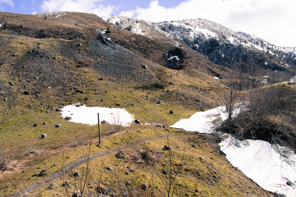
The Boundary Trail is a well-traveled path in season, but this day it quickly disappeared under a layer of old, hard snow in the first gully it ascends. Much of the path, however, was snow free, as much of the trail has excellent exposure. This is a new landscape – younger than me. Up, up, and up the trail winds, eventually climbing up off of the debris flow and onto Johnston Ridge itself. Here it often hugs the clifftop as it climbs up to the visitor center. The views are stupendous, and from here, one can see the true nature of the Hummocks, a storm-tossed sea, made of stone.
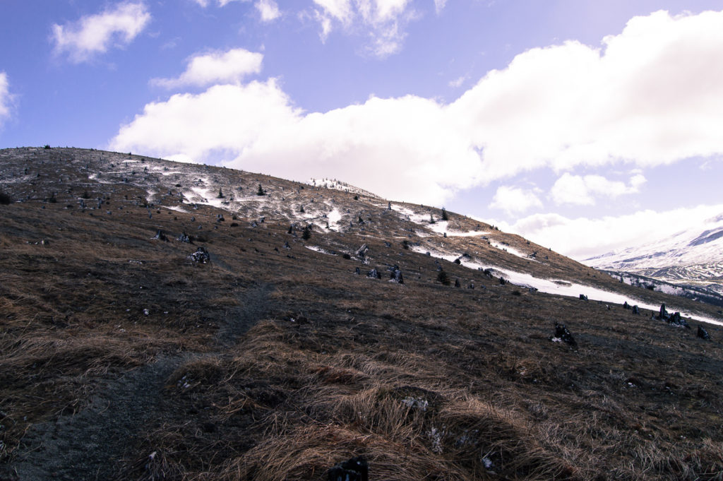
I lost the trail under deep snow at roughly 3800′, and chose to travel cross-country to the highway near the Loowit viewpoint, threading a path that allowed me to stay on top of the snow. The soils here are extremely fragile, and the plant life has only the slimmest hold. Even though the elevation is much lower, the area is definitely alpine. The sun was getting rather bright at this point, and it was difficult to see. I cursed not bringing sunglasses, but who knew I wouldn’t have turned back by now?
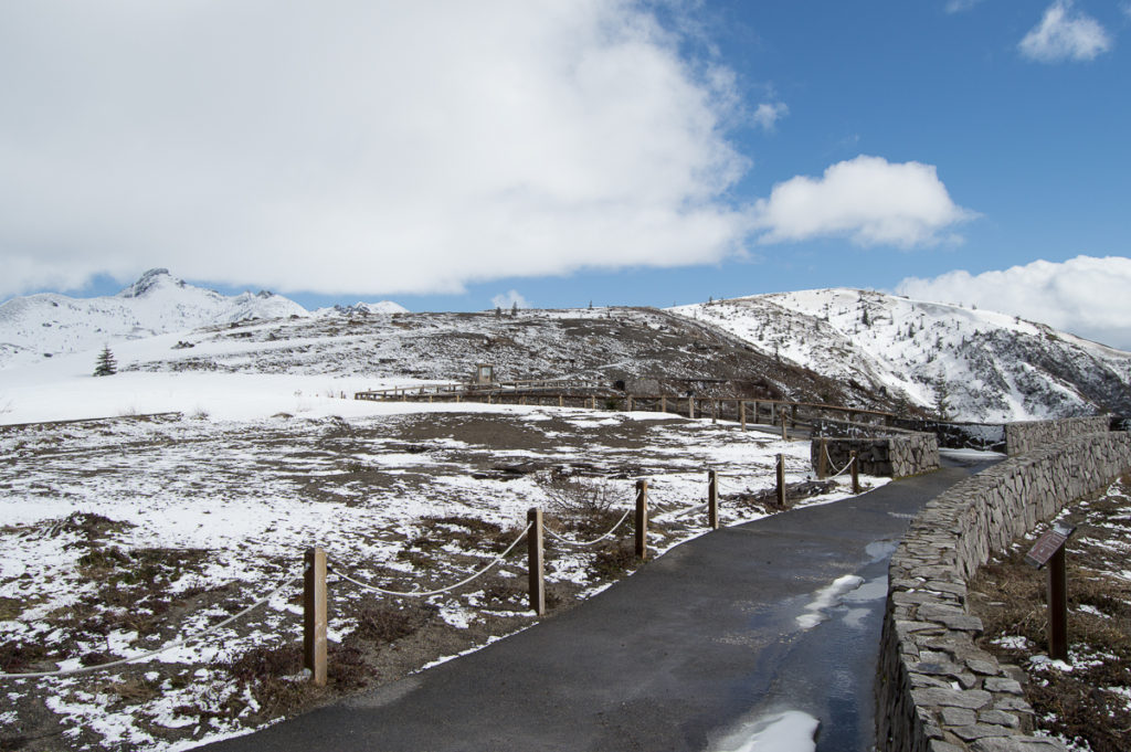
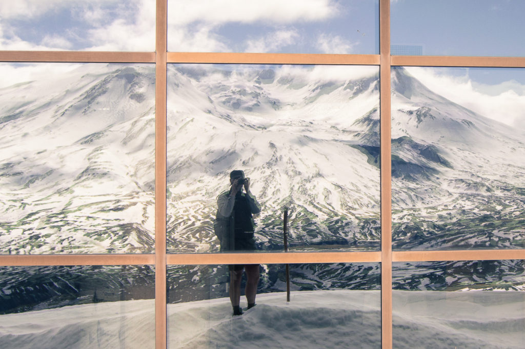
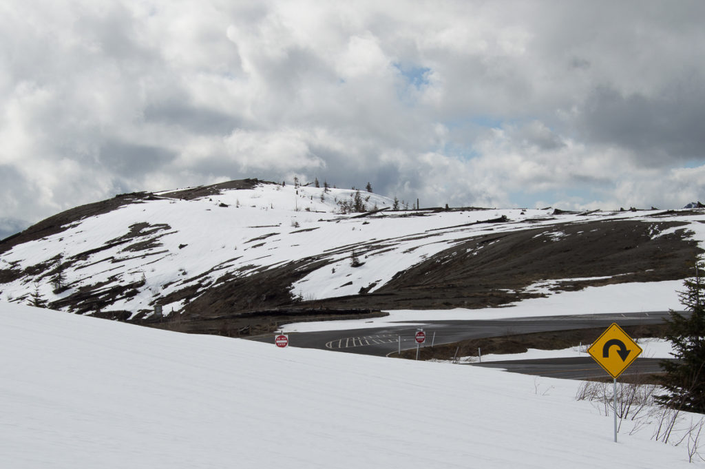
At the Loowit viewpoint, I was able to follow the trail again, but only to a point just shy of the large parking lot at the end of the highway. Here the snow was generally about waist deep, but the parking lot was beginning to melt out. Some of the trail above the visitor center was beginning to peek through, and the observation platform at the summit was snow free. I hung out here for a while, snapping photos and trying to get comfortable enough to eat my lunch, but it was windy, so windy! I elected to eat my lunch down below, near the helipad, on the melted out edge of the parking lot. It was sheltered and sunny, much warmer, and there was a picnic table, even if there was no view of the volcano.
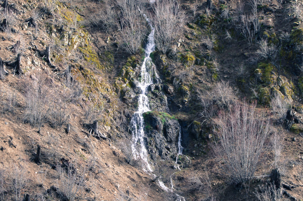
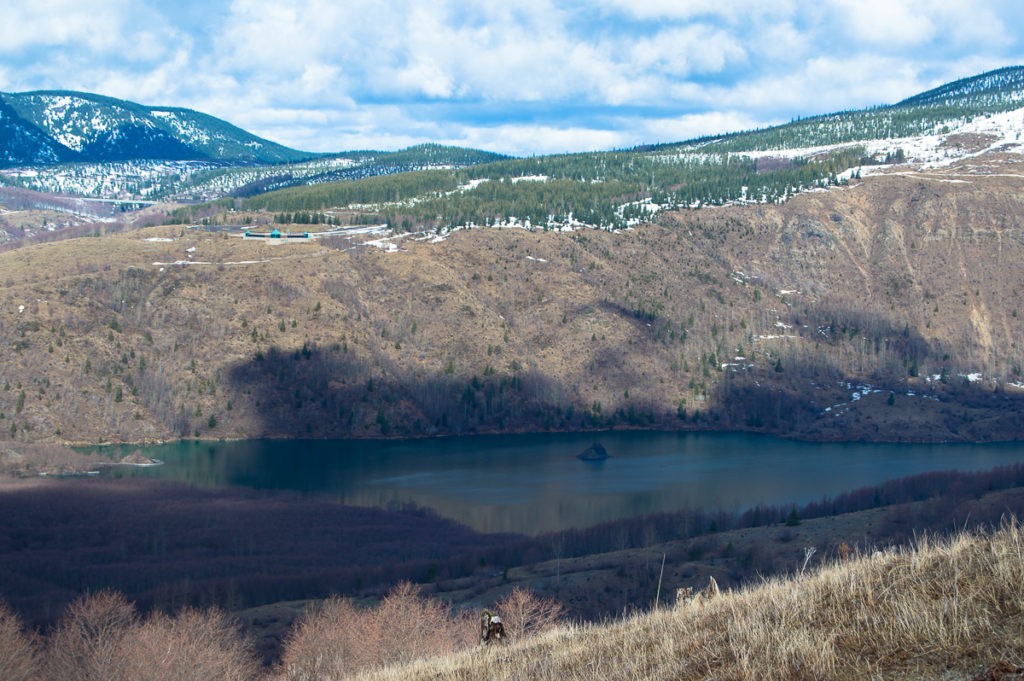
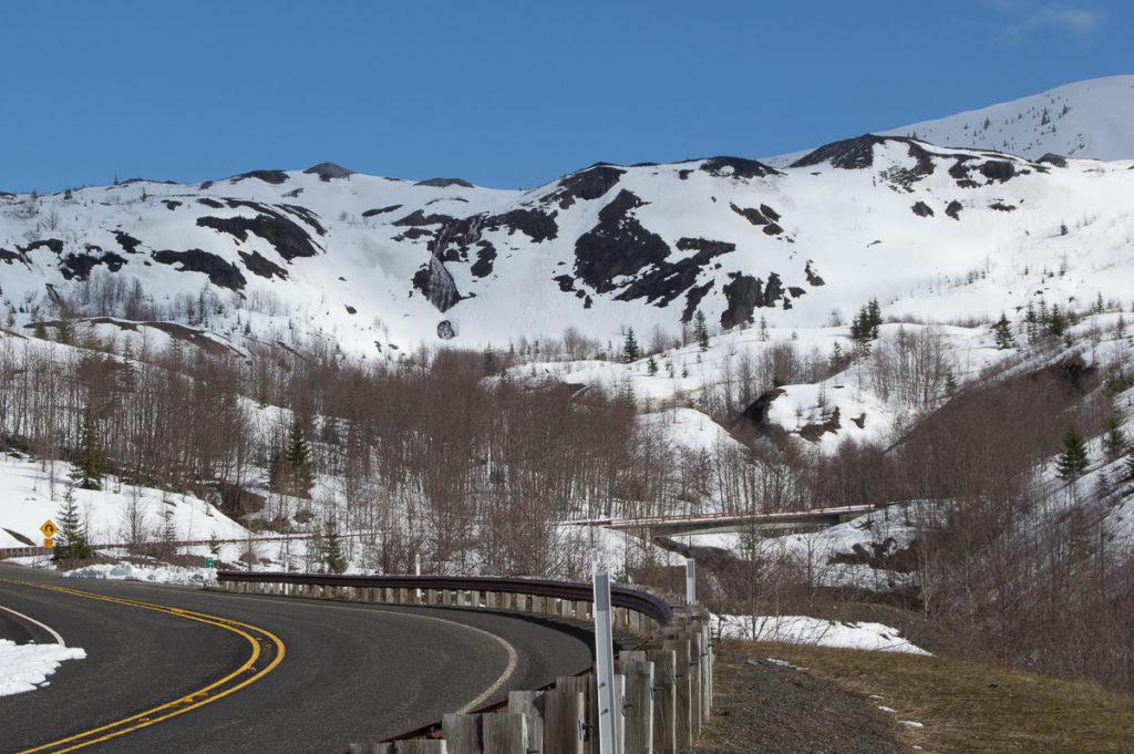
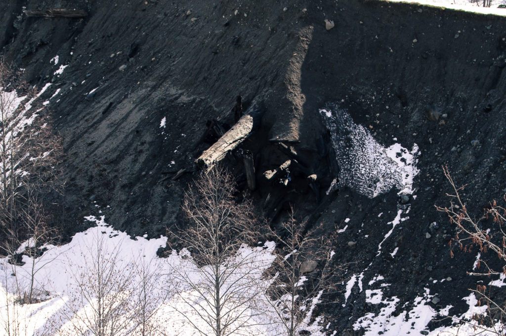
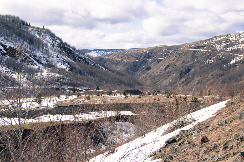
I walked the highway back down to the gate – it was a couple miles longer, but I really wanted a good look at the South Coldwater Canyon. I didn’t venture down down the access road to see the Spirit Lake outlet tunnel, but I was very interested in observing the scour line of the massive debris flow as it washed over the gap between Johnston Ridge and Harry’s Ridge – what we now call The Spillover. It scoured everything from the canyon walls – forest, soils, and all – before choking the drainage with debris – above that, the blast simply obliterated the forest, leaving stumps. Joining the larger debris flow at the mouth of the canyon, it impounded Coldwater Creek to create Coldwater Lake. South Coldwater Creek, fed largely by the Spirit Lake outflow, has been carving through that debris ever since, exposing massive logs and boulders buried in unsorted fine gravels and mud.
Much of the road from the Observatory down to the outflow tunnel was buried in 2′-4′ of snow, with a recent dusting on top. Perfect canvas for animal prints! Tracks came up from the canyon below to follow the road for some distance, then descended again. There were even a couple of places where the animal had obviously ran after a hare, the pattern of tracks and their depth changing, running right over the top of the hare tracks. They were fresh, but not fresh enough to be absolutely definite. I thought initially they may be a cat, but they did seem to have claw points. Then, I saw a coyote trotting up the road, coming around the corner ahead of me. It spotted me immediately, and dashed into the alders. By the time I got there, it had disappeared.
I got back to the gate sometime just before 4:00 PM, having hiked 14.1 miles over 7 hours, with 1996′ gain. It was a long road-walk, and I may gotten eye-strain, wind-chap, and sunburn, but the loneliness and stunning scenery were worth it.
Leave a Reply