Perhaps you’ve been to Mount Rainier National Park, and visited the Box Canyon, along the Stevens Canyon highway. It’s an amazing formation – a very narrow slot canyon gouged into the bedrock beneath the unimaginable weight and pressure of a massive glacier. At certain points, one might imagine leaping across the narrowest points of the gorge, where the Muddy Fork of the Cowlitz River has carved into the bedrock so deeply that it cannot be seen from above. This viewpoint draws many tourists as they drive the southern tier of the park, and for good reason.
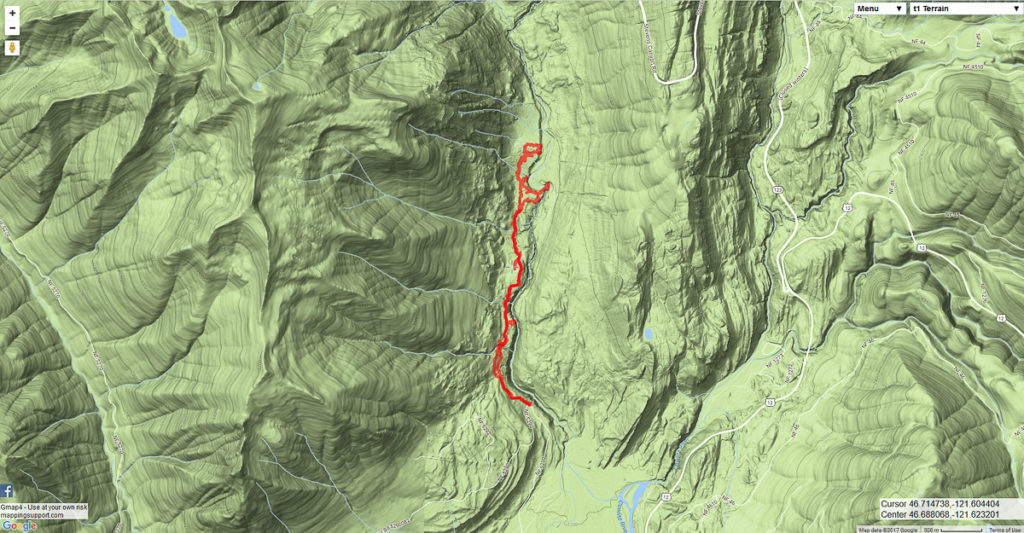
I’ve been interested in exploring the southern end of this canyon, up the river from where it intersects the Clear Fork of Cowlitz. In poring over online maps, I’d become particularly interested in one particular location where it spreads out into a broad gravel bar, then takes a sharp curve to the east, before twisting back to the sound and descending into a gorge. I suspected I might find a box canyon similar to that upstream. I wondered if there might not be a good hike-in camping location. I expected a bushwhack, but hoped for elk trails. I was not disappointed on any count, and found everything I was looking for.
I drove up to Packwood early Saturday morning, prepared to spend the night along the river, but also knowing there would be hunters out and about, and that it would be cold. I ended up ditching that plan early on, after I drove up Skate Creek road to see a fair number of hunters driving about, but descended into the Cowlitz River valley to find a very large number of hunters driving about. Hanging a left and heading up the valley along Cannon Road, I saw plenty of elk – all within the no-shooting zone, of course, and just as many hunters just outside that zone. That’s hunting season for you in the Big Bottom. I saw lots of hunters, and lots of elk, but I did not hear many shots.
Continuing up Cannon Rd, beyond the pavement and the gate toward the Tatoosh trail head, I parked at the first big dogleg in the road. This is as far as one can drive up the canyon while staying low. My topo maps indicated I should be able to bushwhack along a broad terrace cloaked in road- and trail-free old growth to the west of the canyon to its head at the big bend I was shooting for. The very nicely built and maintained trail I found indicated I would have an easy time of it. Where did this trail come from? Who built it and maintains it? It’s not on any maps I’ve seen. Thankfully, nobody reads this blog, and this secret trail will remain a secret.
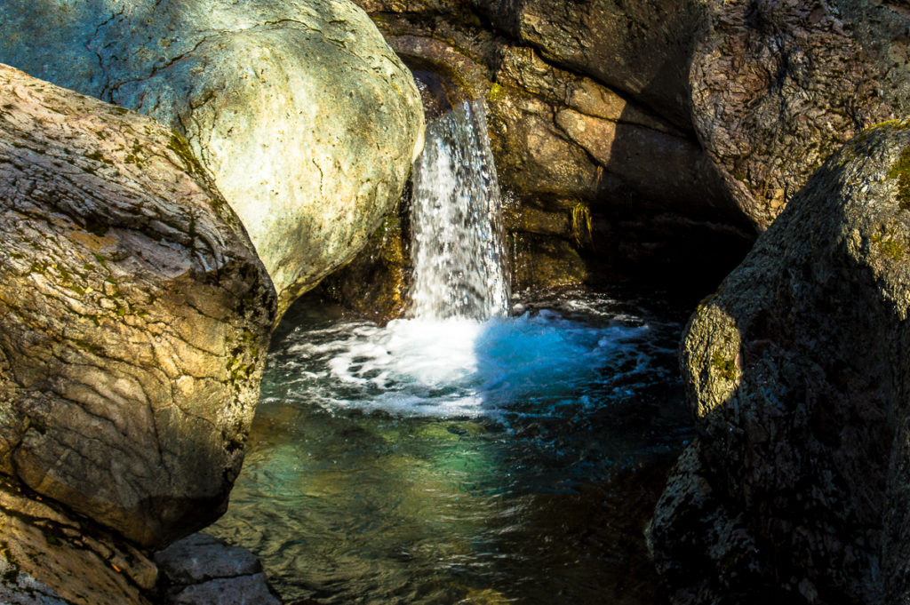
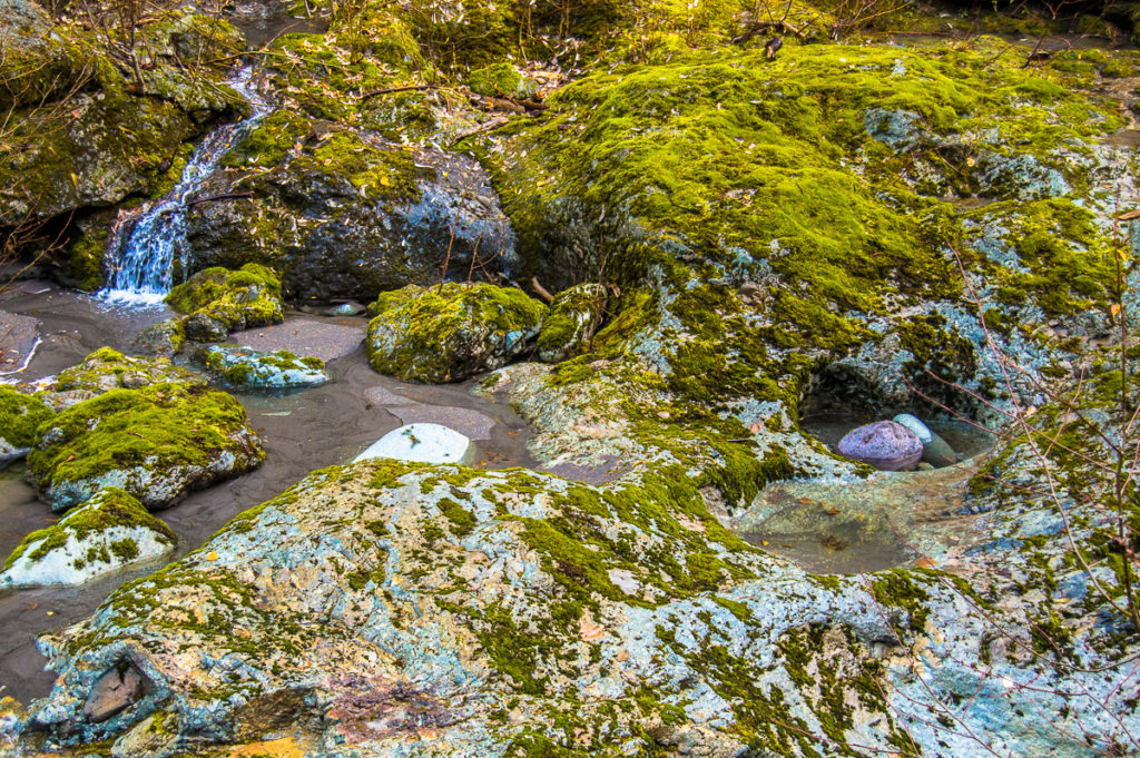
The trail did a great job of contouring at a decent grade above the canyon, descending into a handful of small, but stunning ravines to cross streams. I suspect most of them are seasonal, but one in particular had a nice waterfall carved into the bedrock that deserves greater exploration with a camera.
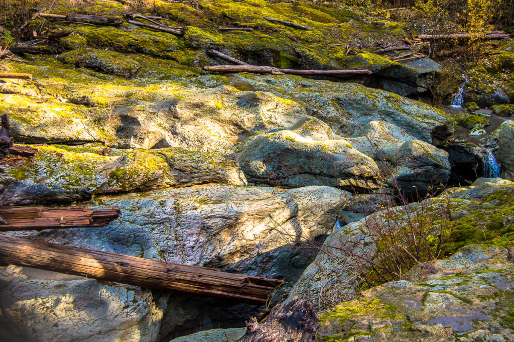
After a bit, the trail gently descends to bring a cliff-side bald into view. A bald is a place where no soil has developed, and the bare bedrock is generally covered in moss and lichens. I suspect this is a tiny remnant of what must have been a smooth and forest-free post-glacial canyon, similar to the smooth, bare Box Canyon a few miles up-river, the glacier having retreated from down here here likely just a few centuries earlier than up there. I was able to stand at the edge and look down, unable to see the river, and afraid to grasp the occasional precariously perched Douglas fir for a better view.
I trudged back through the thigh-high salal surrounding the bald and back to the trail, following it with little problem until I came upon a small mudslide that had come down from the canyon wall above. Mud and fist-sized rocks covered the ground everywhere, along with broken logs and bent vine maples. The mess completely obscured the trail, so I struck out in the general direction I wanted to go, and ended up overshooting my destination. I came to the edge of the forest, the ground dropping away beneath my feet to the broad river bed a hundred or more feet below. Tree roots reached out into the void above the river, and I could see where the river had relentlessly chewed into the valley floor as it backed up behind the deep layers of soil and rock, taking a sharp turn to the left, and dropping into a gorge, and out of sight, behind a massive log jam.
I found what I at first assumed to be an elk trail dropping down to a terrace very near the gravel-bar’s elevation, and I suspect it would lead right down onto the bar, but I could not see that from my vantage point, so turned about here. I’d like to explore that further. There was some pink ribbon crossing the nearby ravine that makes me think this is the route to take. I wonder if the trail continues further up the canyon toward the park, or if this bar is the destination? I was unable to find any other sign the trail along the portion of the terrace I explored.
I worked my way back along the edge of the cut, and down to the log jam. I found an abandoned tent – left to collapse since probably the summer of 2016 – and more vague remains of a very old foot trail, much of it lost as the bank eroded. It was not hard work to pick a path around and over fallen trees. The salal, while thick, does not really obstruct one’s efforts. I quickly found myself on the top of a knife-edged ridge. I think it may be this thin ribbon of rock behind which the river has backed up, and continues to erode the glacial debris away from, as it finds its way into the gorge.
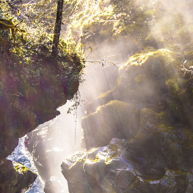
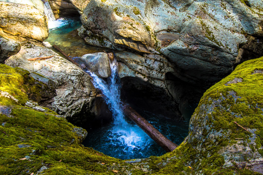
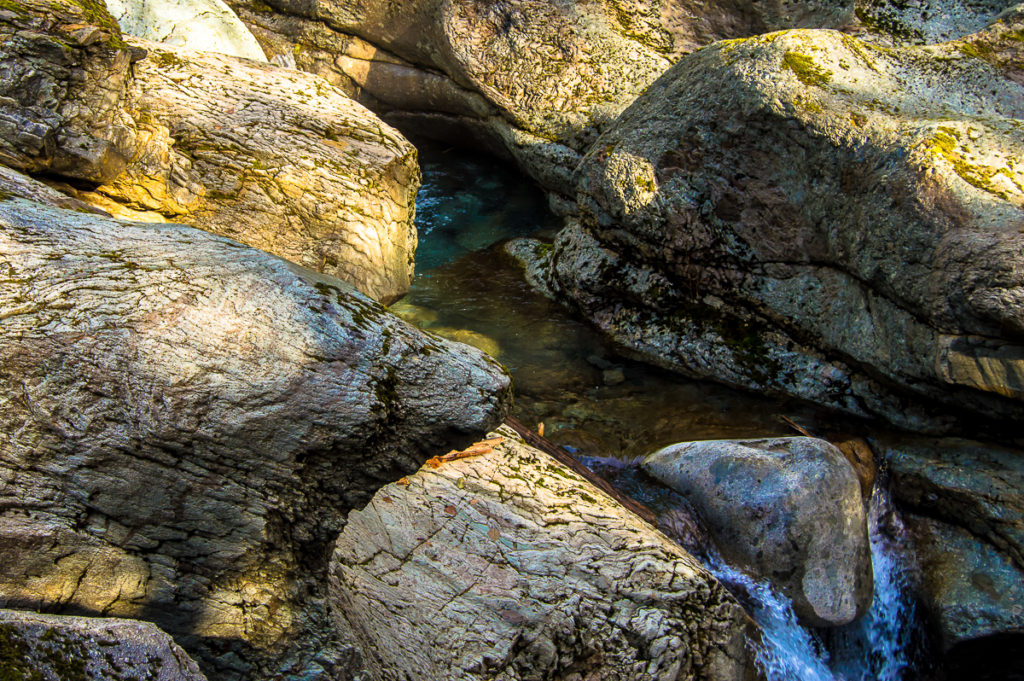
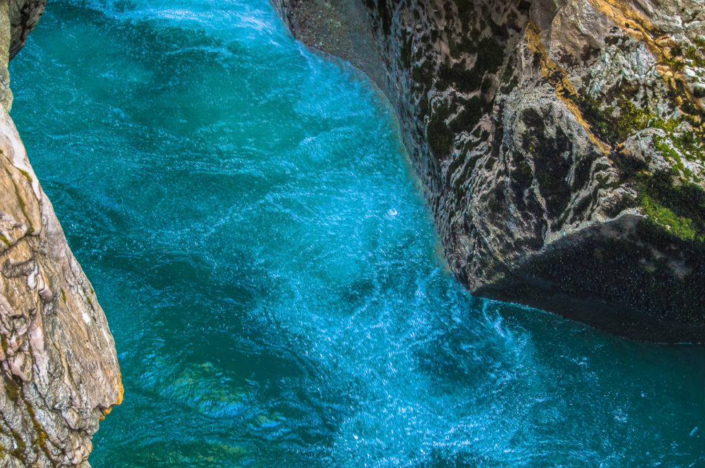
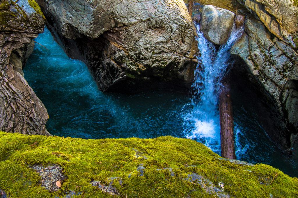
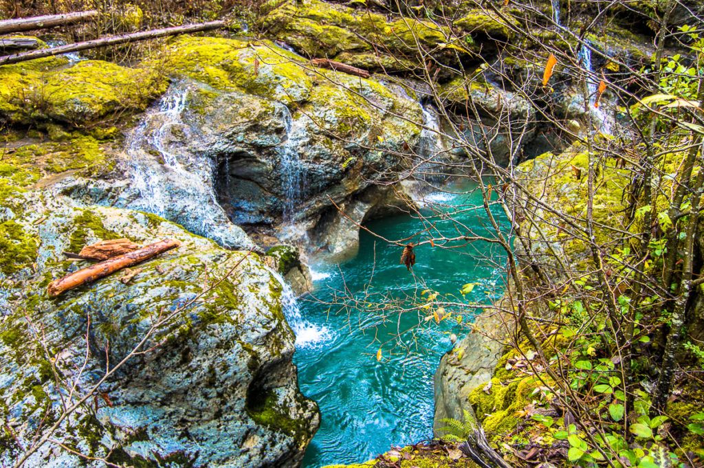
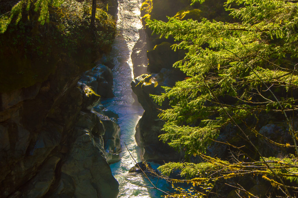
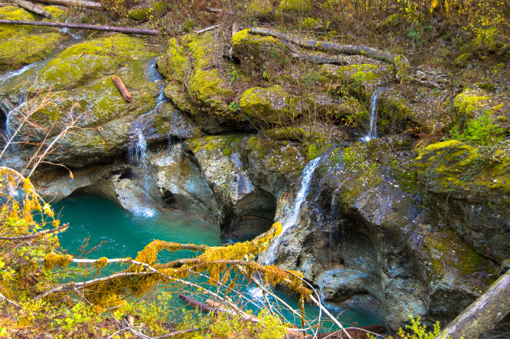
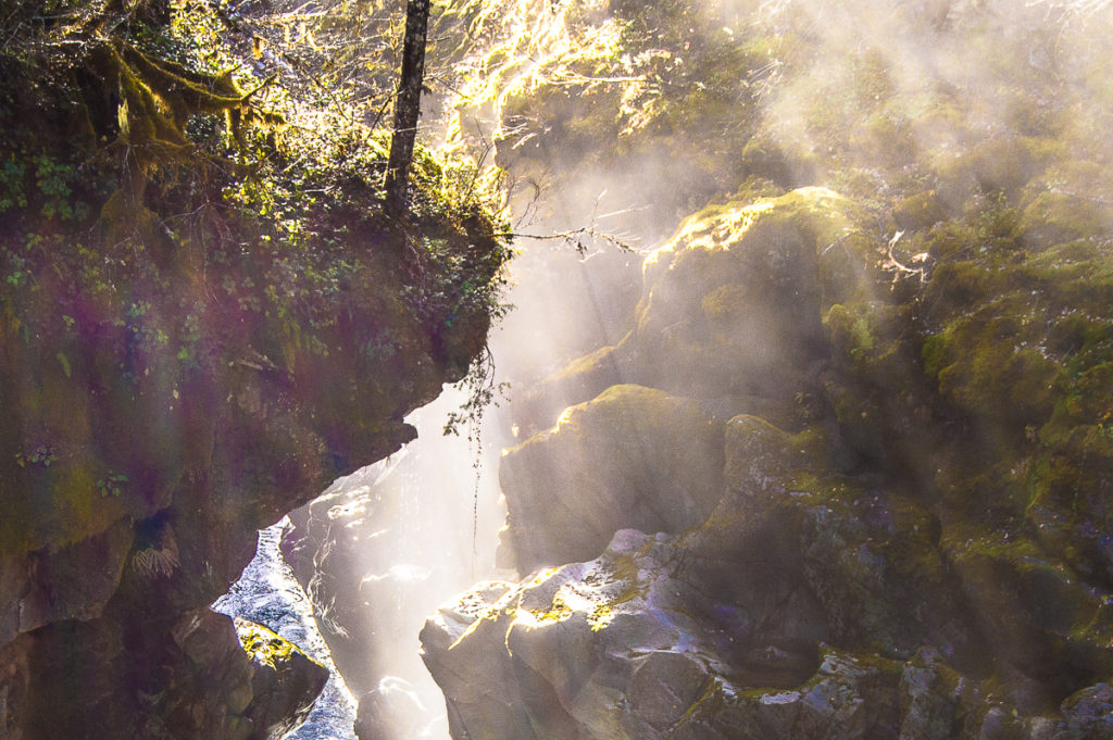
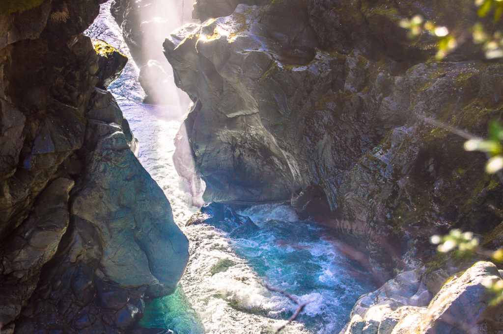
And the gorge! Just like the better-known Box Canyon up the river, it is extremely narrow. Here, at the very beginning of it, I was confident I could leap across it, and it appeared from tracks I saw that elk just might do so. Sliding through the rock with shapes like smoke swirls, one pool drops into the next, ever deeper, clear as glass (the Muddy Fork isn’t always muddy), the pools give way to falls, and the river gathers itself to take a wild and crashing bend through a narrow defile around the knife-edged ribbon of rock atop which I stand, and plunges into a gorge, the first sight of which literally took my breath away.
If you’ve been to the Box Canyon, you’ve seen it from above. I was seeing this box canyon from the inside! And at just the particular moment when the sun bursts from between the slowly withdrawing cloud layers to make a noon-time descent to the canyon floor. The light dripping from the rocks onto the water, and light floating in the mist above it. I couldn’t have timed it more perfectly if I tried. I hope the shots I share here do the moment at least a little justice.
I traveled ‘au-salal’, that is to say, off-trail, back up to and along the terrace to the muddy slide area to get back onto the trail. Very near the end, I encountered a hunter (father of a high-school classmate, whom I did not like at all), whose name was ‘Hoot’. I kid you not. Life in the Big Bottom, I tell ya. But then, I’m Skookum.
I did see a smattering of decent Chanterelle mushrooms, but picking is now prohibited on this mountain. I also saw that the ‘Ohanapecosh Blue’ stone I so love so much, one fist-sized specimen had been placed on a trail-side log. I did not encounter any memorable birds. In the season, I expect there will be good opportunities for wildflowers. I can’t wait to get back to this canyon, and explore the area more. It’s surprisingly accessible.
Leave a Reply