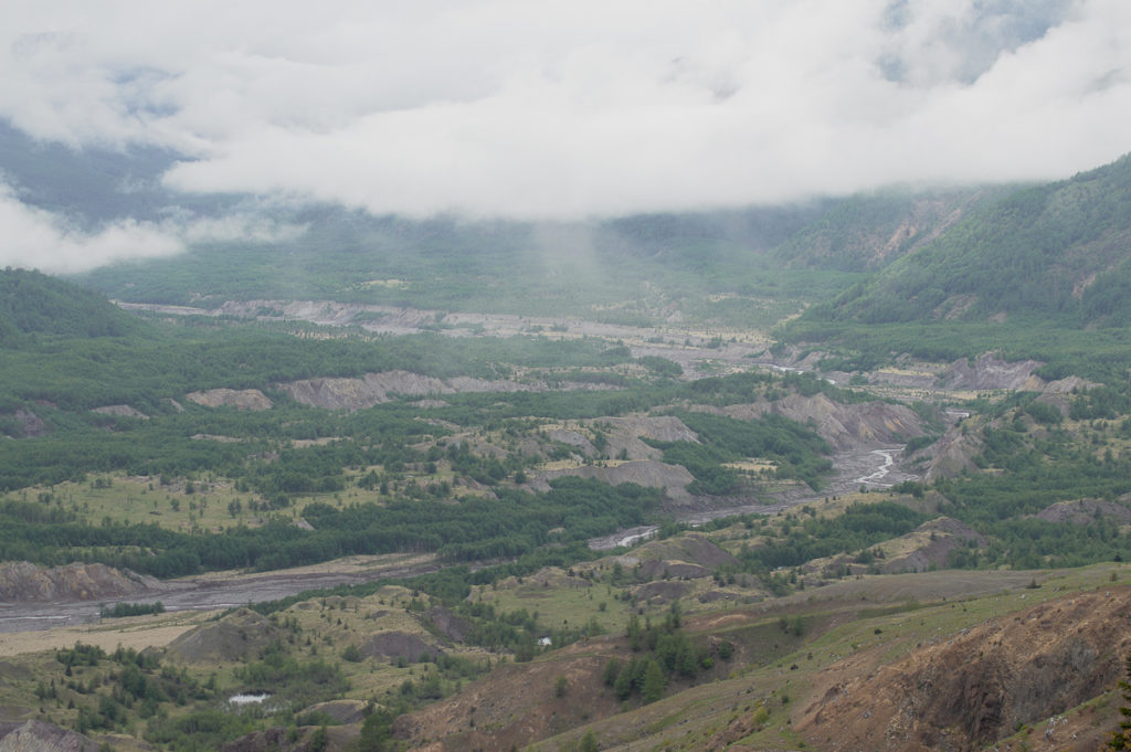
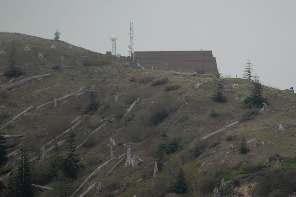
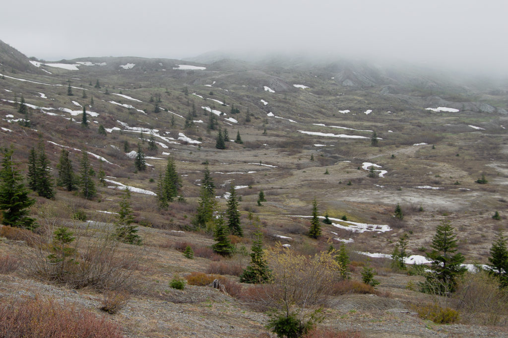
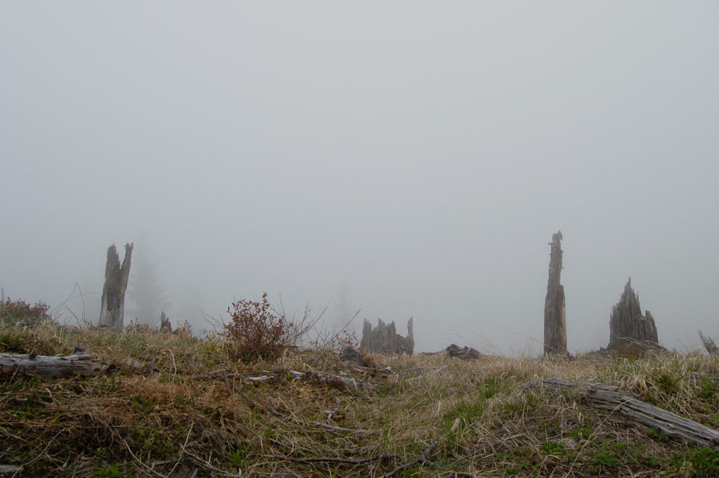
Another anniversary of the Eruption of Mt. St. Helens, and once again, I took the day to be there. I can see this becoming an annual pilgrimage. This is the time of year that everything begins to wake up, and the highest reaches of the Monument are melting out. This is also the time of year that one takes one’s chances as far as a view of the volcano goes. It was a very cloudy day – solidly socked in for all but about 20 minutes in the mid-evening. No views to be had, but for a few brief moments of partial glimpses as I approached the JRO near the end of my hike. I didn’t bother with getting my camera out at that point.
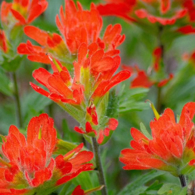
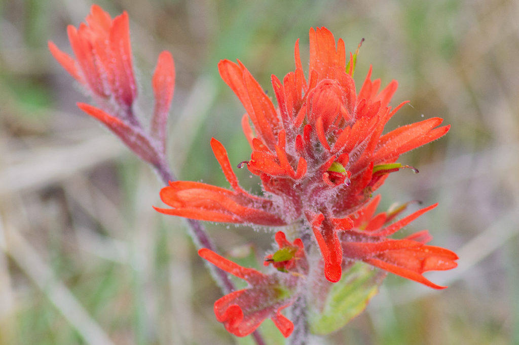
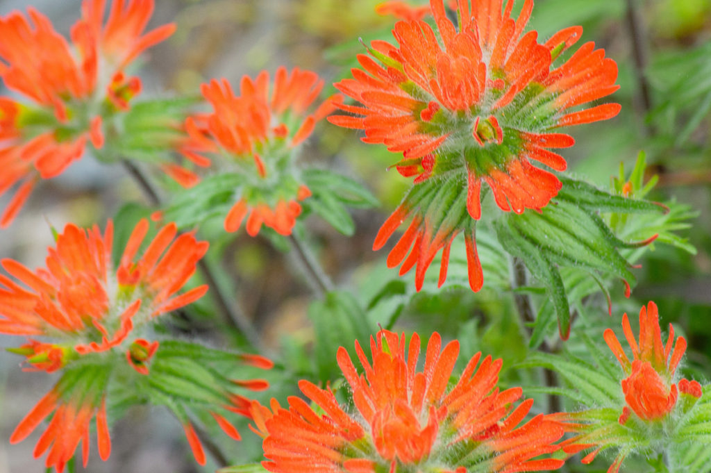
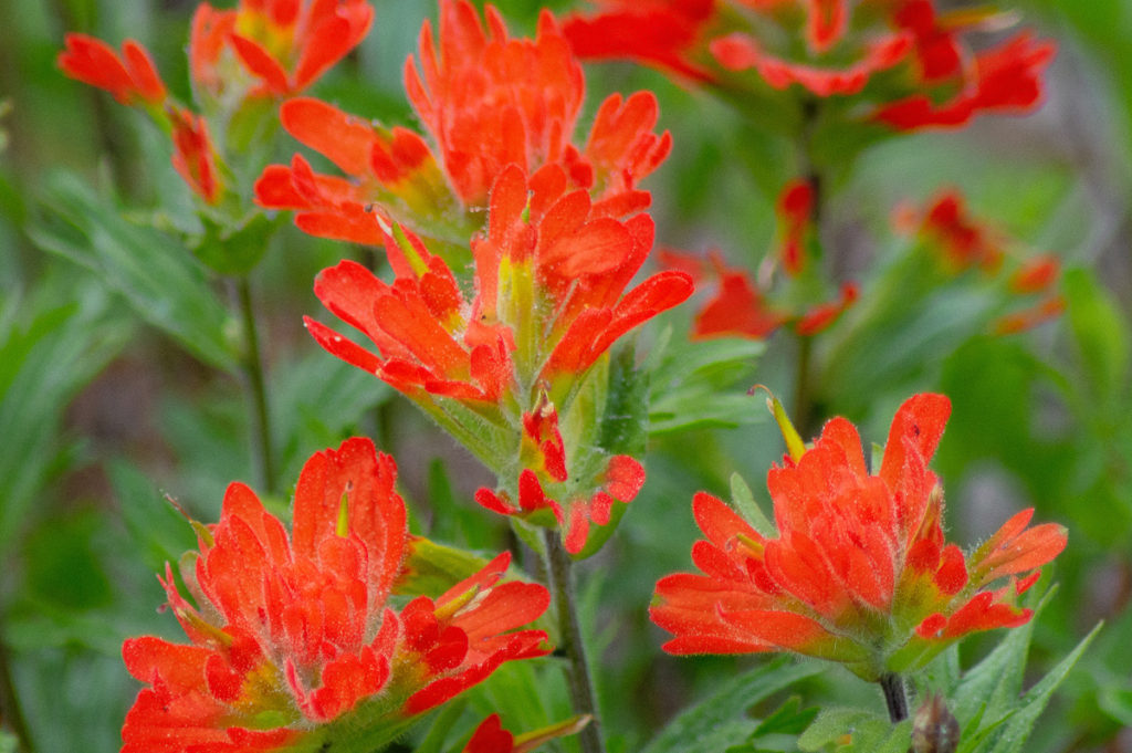
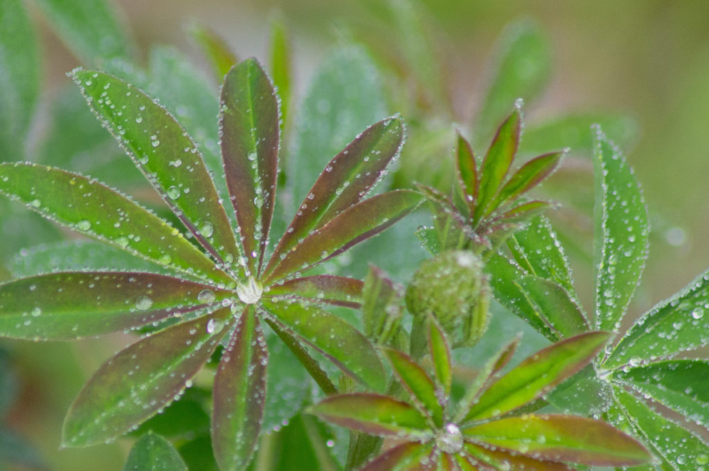
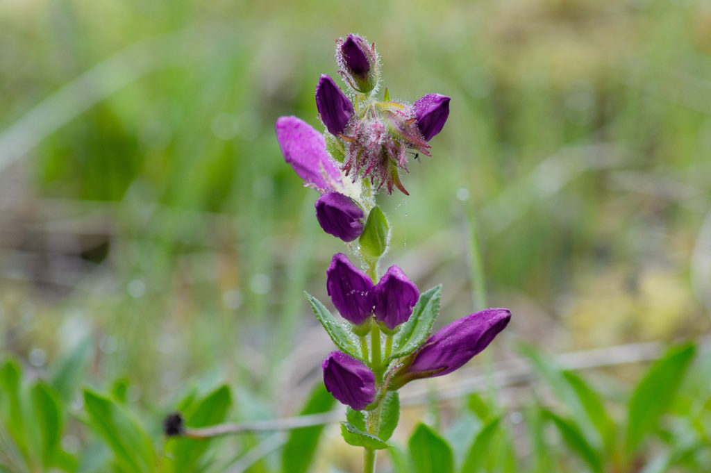
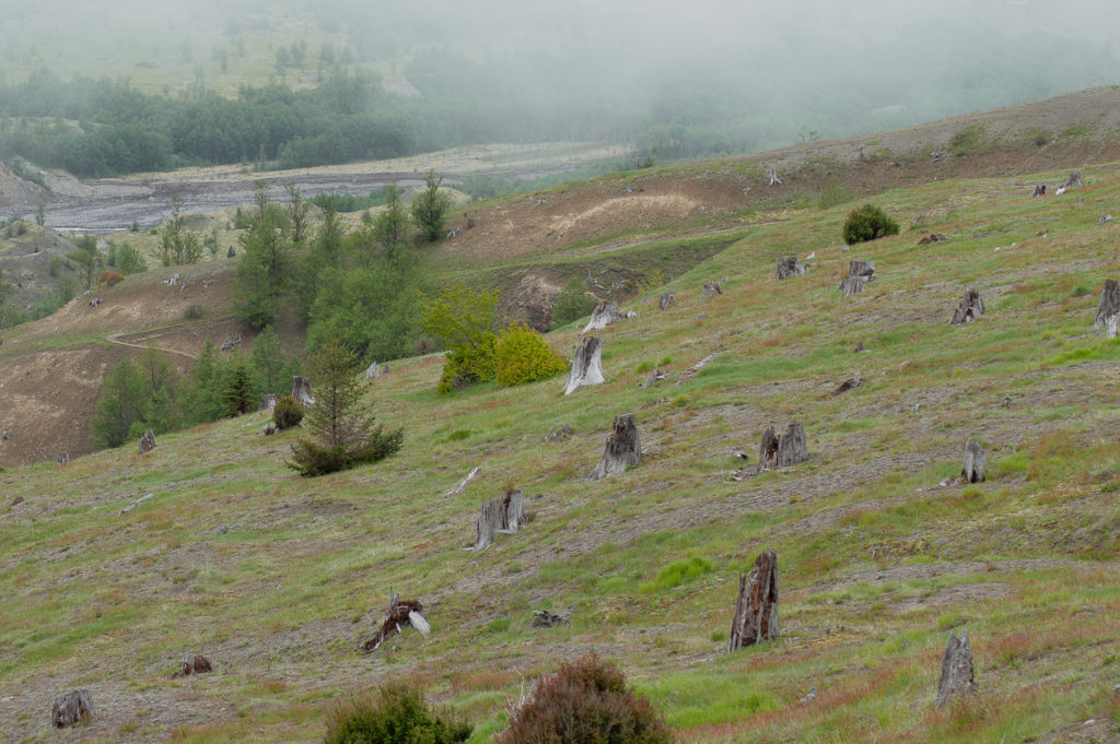
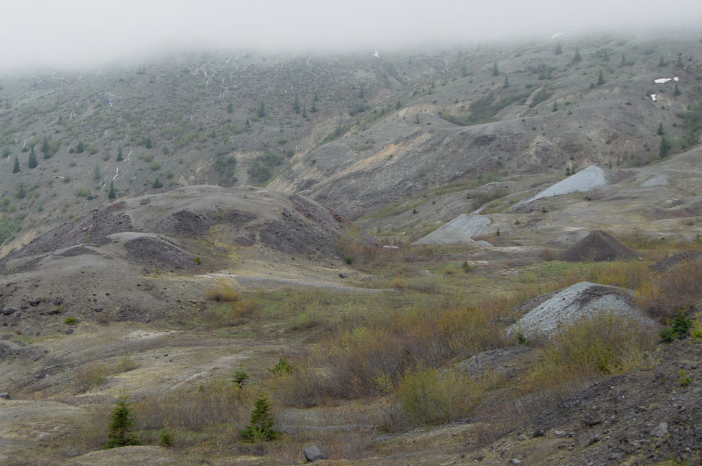
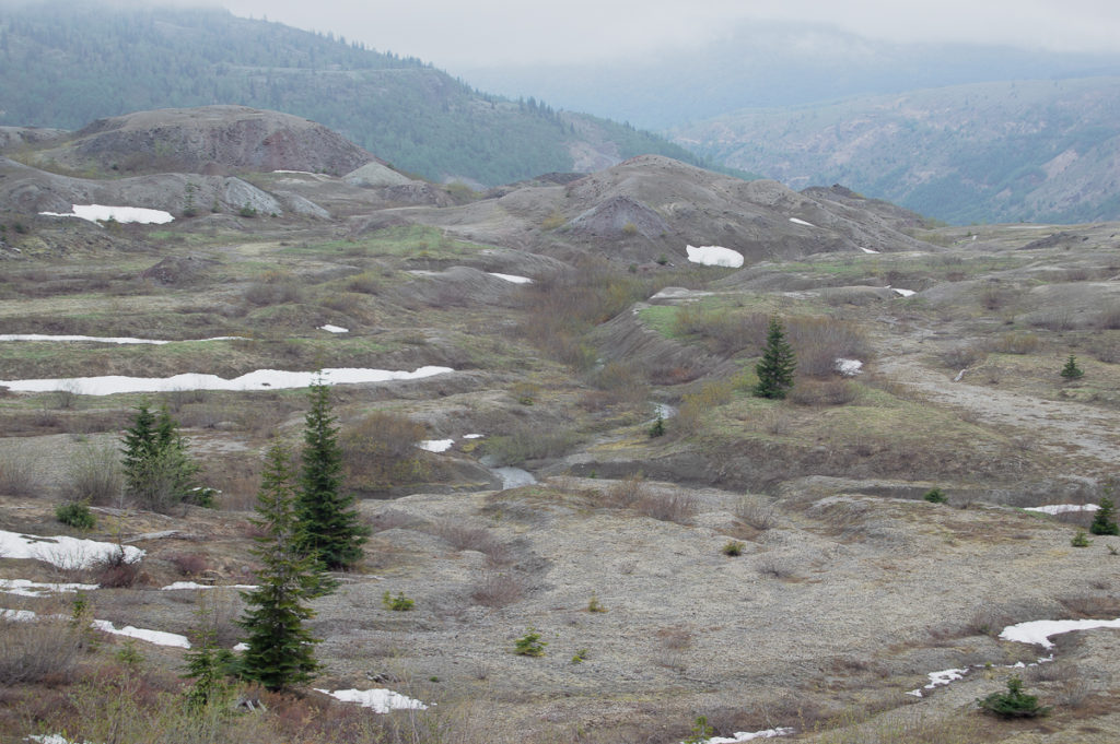
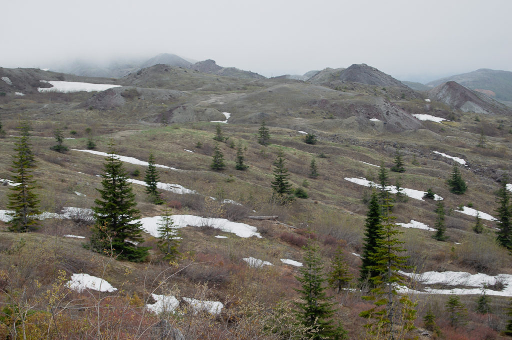
The wildflower show is just getting started out on The Hummocks – Castilleja is making the biggest show so far, although wild strawberries are stealing all the thunder up above on the ridge. Beginning to make an appearance lower down were also lupine and campanula, and at the base of Johnston Ridge, I saw many gorgeous Ribes sanguineum. As I worked my way up toward the JRO from the Loowit viewpoint, the wildflowers petered out.
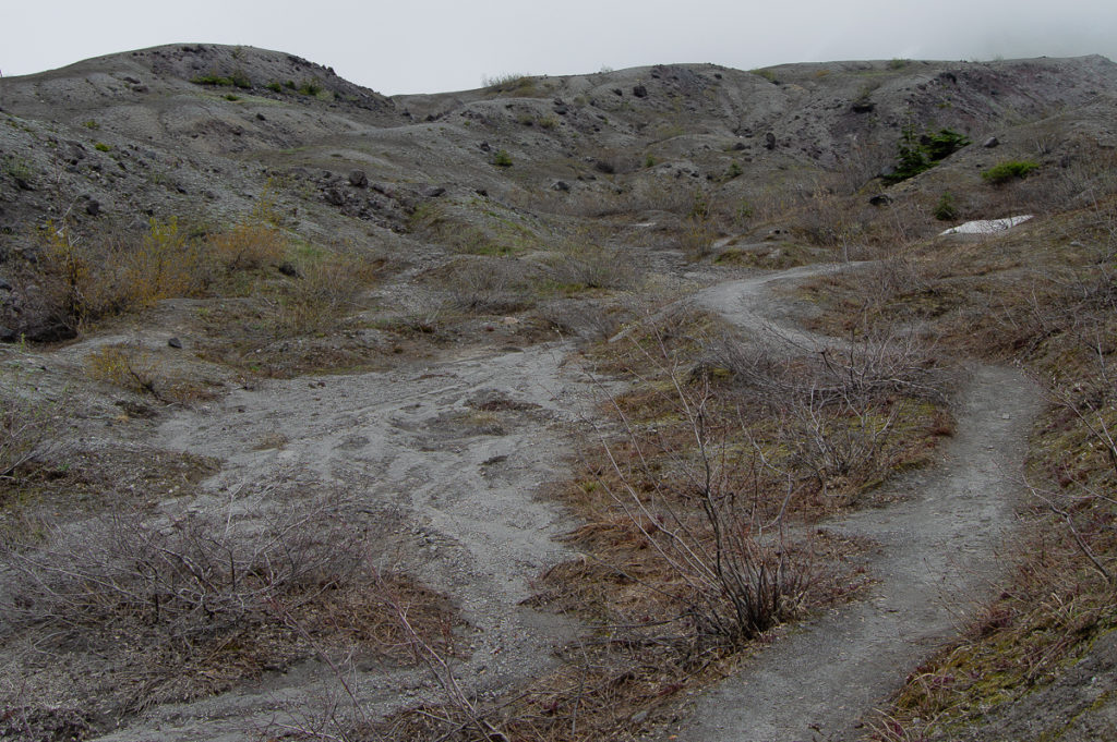
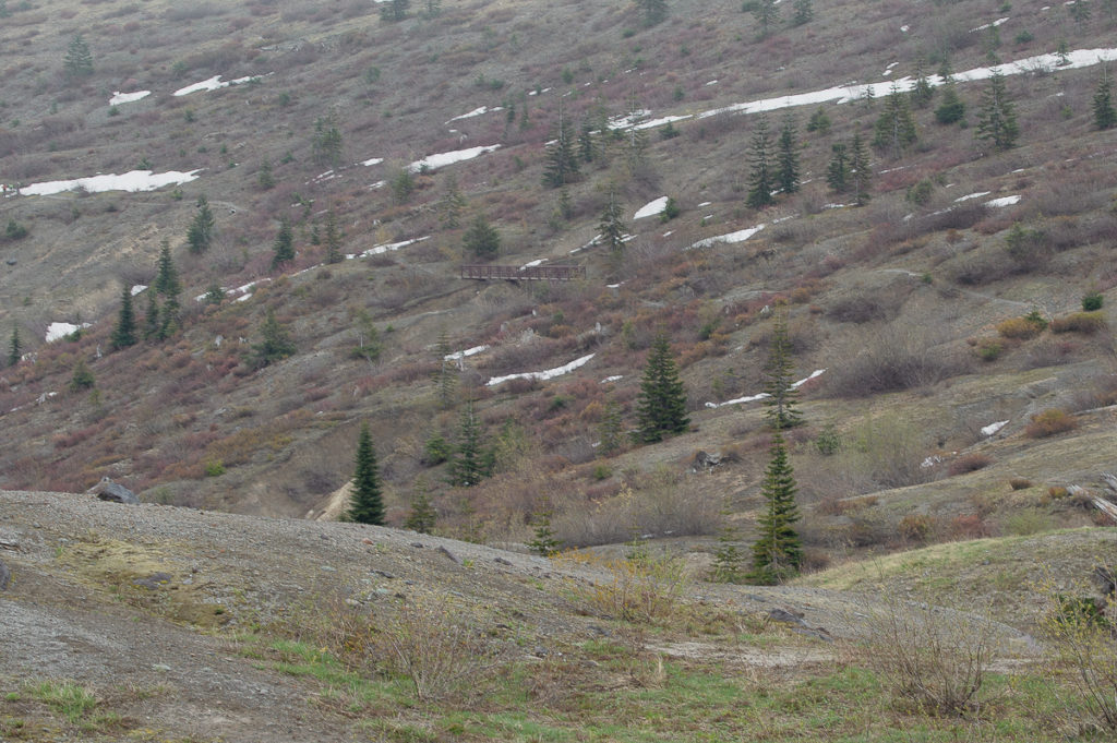
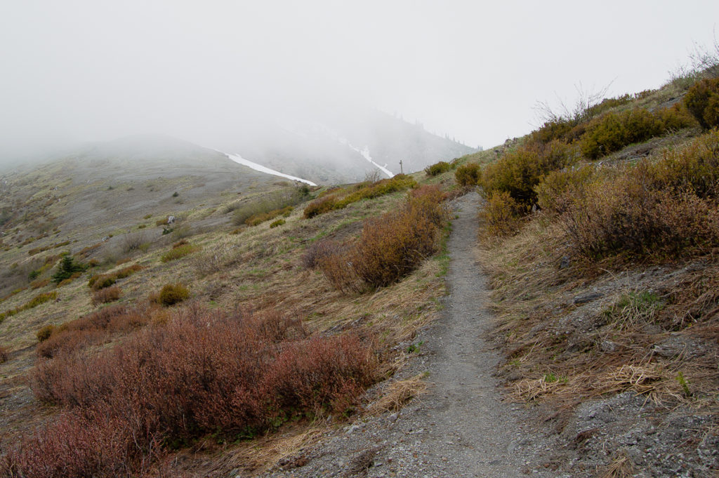
The area of the JRO is melted out now, and one encounters only the smallest snow patches up to the Harry’s Ridge Trail. Beyond that, the Boundary Trail is increasingly snowbound as one ascends, but the trail is otherwise in good shape. I had the whole trail to myself until I got to the Loowit viewpoint, and was in regular company until I got to Harry’s Ridge trail, where I chatted with ‘Dave’ about local conditions. We both agreed a side trip to Harry’s Ridge was silly, what with the lack of view.
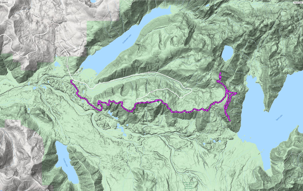
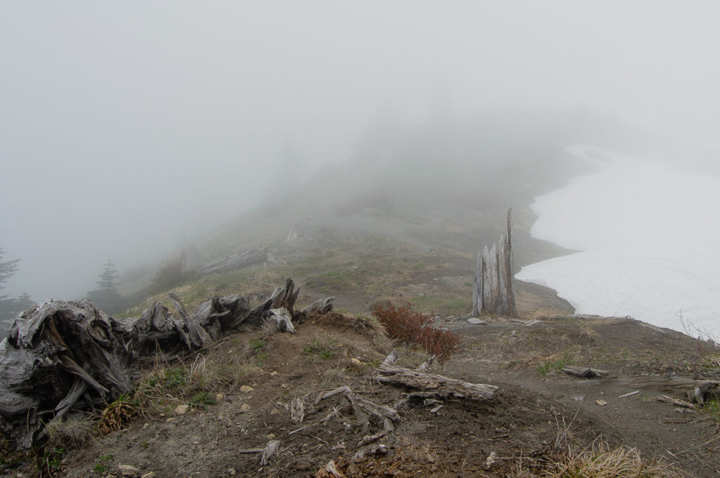
Beyond that, the cloud deck that had been lifting about as fast as I was climbing decided to drop again. After hiking about a mile further up the Boundary Trail, I turned about and had lunch. The combination of fog and lost trail under a steep snowbank called for a turn-around. I had lunch in the streaming fog and re-traced my steps.
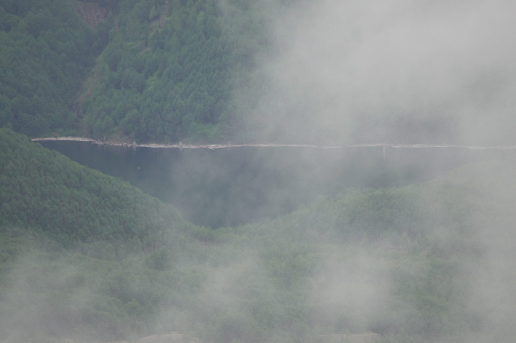
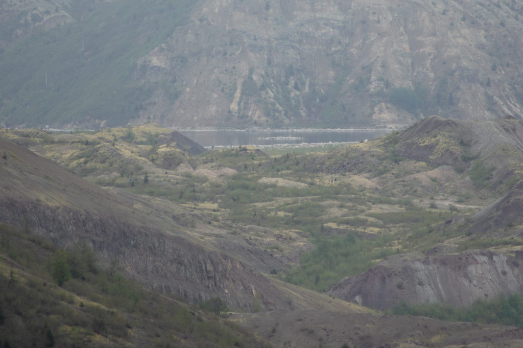
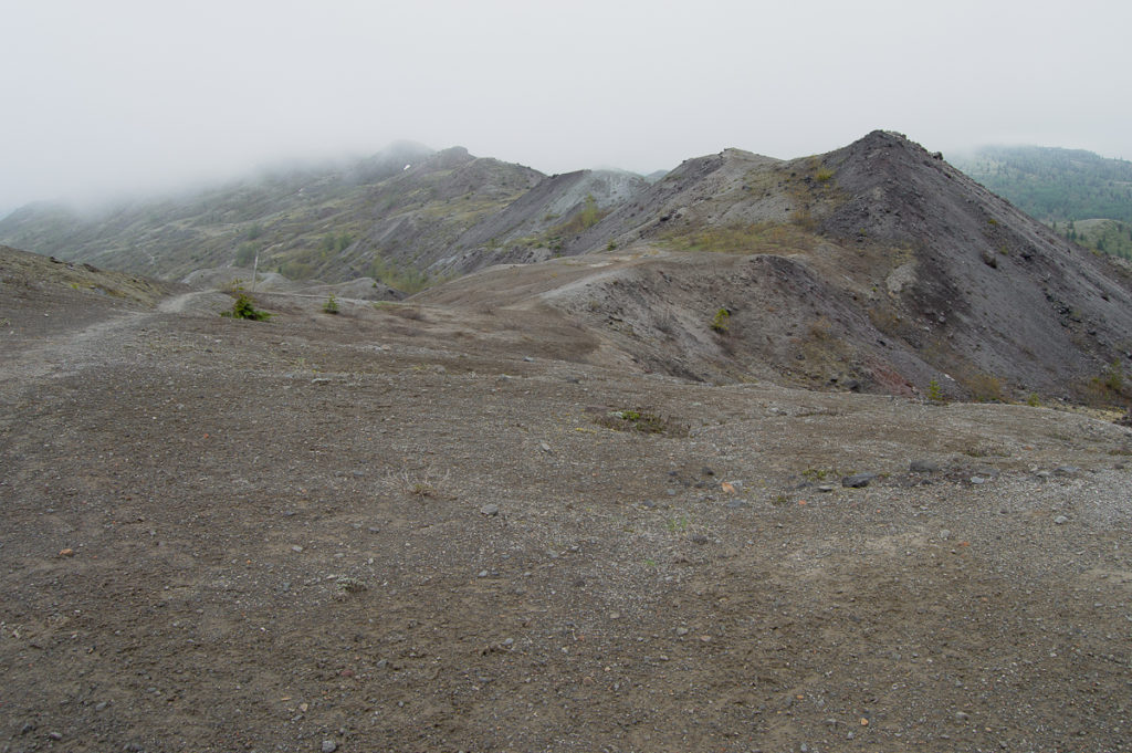
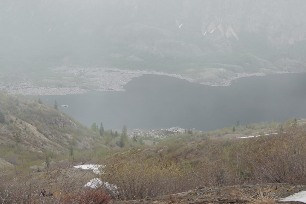
Until I lost them. Visibility was very poor – maybe 50′, and somehow, I lost my track. I circled about a bit, but never did see where I needed to be. I ended up getting off the trail, and traveling south along Harry’s Ridge. At one point, the fog parted for a brief moment, and I could see that I was way to close to Spirit Lake, so I tried to adjust my route to keep to the south, thinking I would cross the trail.
Ultimately, I got on top of what I assumed was Harry’s Ridge, and was quite relieved to see the telemetry tripod materialize out of the fog. I kissed the trail junction sign when I finally got back to the Boundary Trail. Twice. The kicker? I wasn’t more than a couple of hundred feet from the trail junction where Dave and I spoke when I lost the path. I had worked my way all the way around and down Harry’s Ridge. It was adventurous, but I regret the damage I must have done to the fragile soils and plants. The Boundary Trail has defeated me three times now. I will not be humiliated again – I plan to go back in two weeks.
The trip out was long and tiring. As I dropped down the Boundary Trail, post sign-kissing, I checked my phone. I had been using the altimeter/compass a lot, and expected the battery to be low, but not down to 20%! Realizing that I had not put it in airplane mode, I was afraid I would lose my Strava track, with at least three hours of hiking to go. Correcting that, I was relieved to get back to the truck with 6% battery power.

Leave a Reply