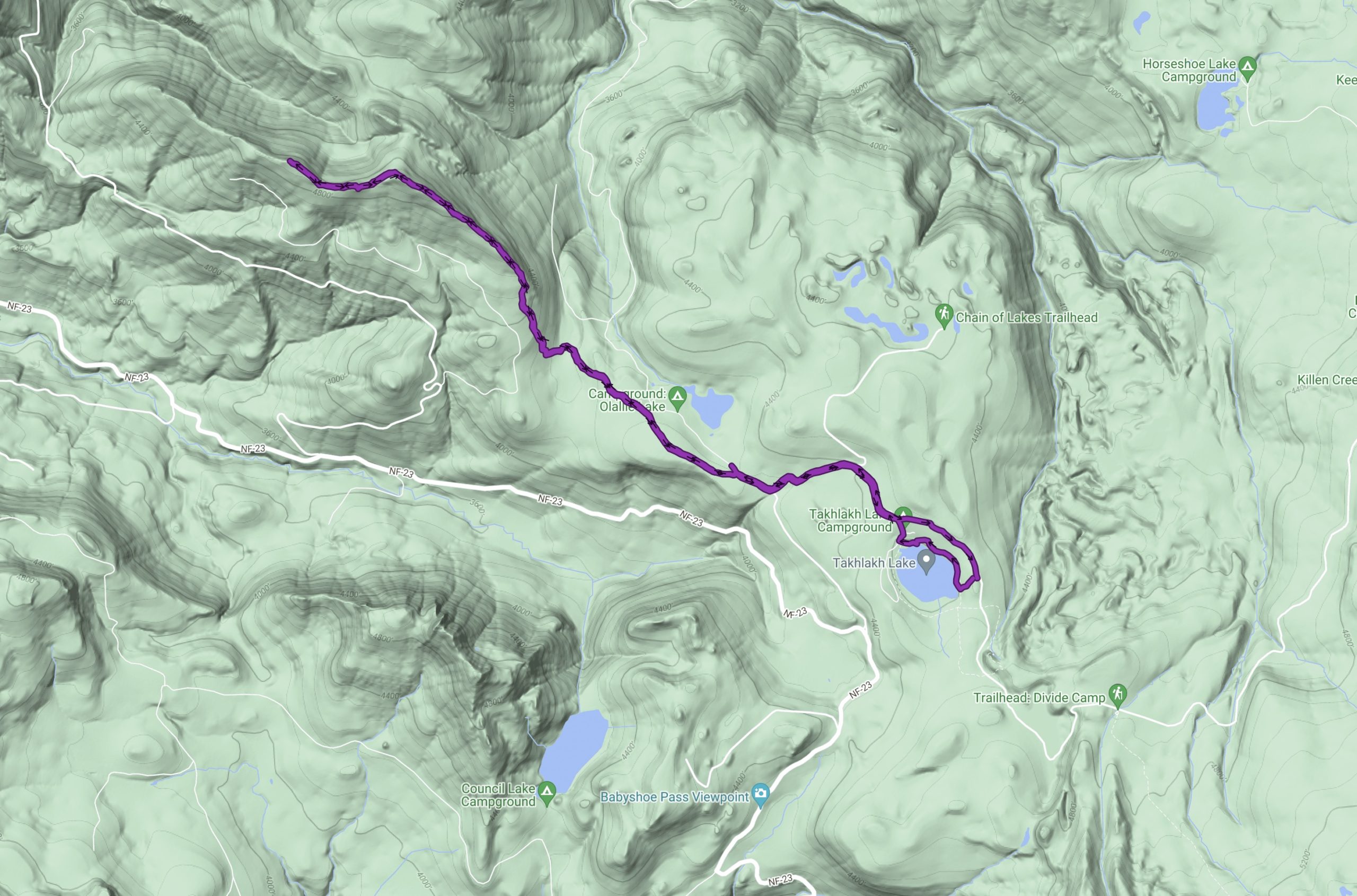
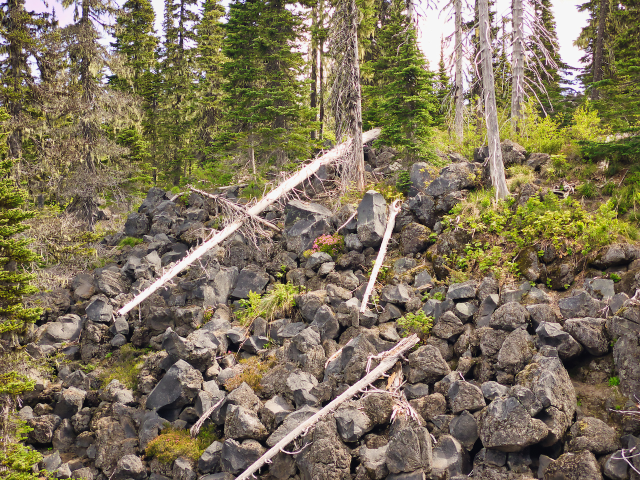
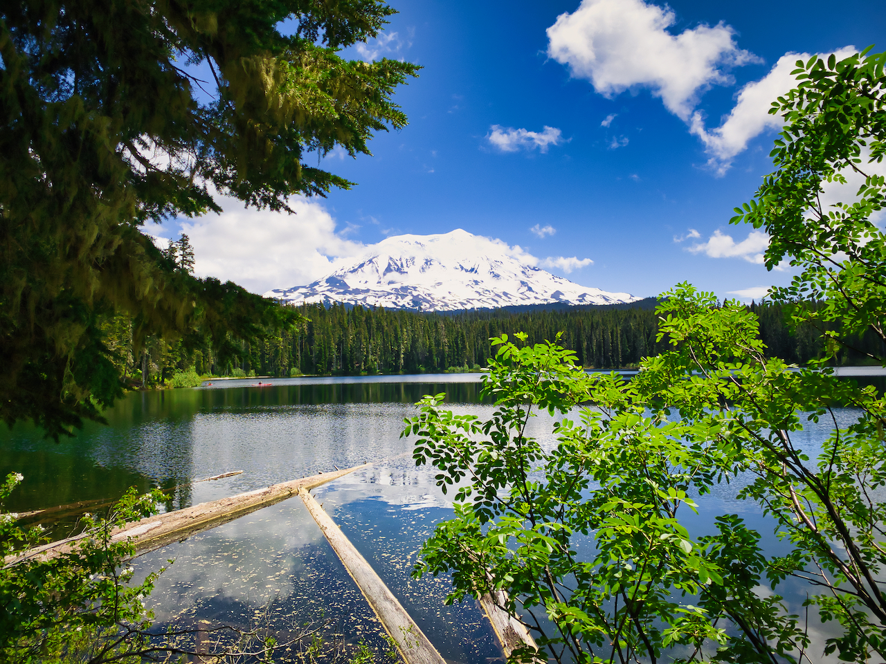
A quick trip for some downtime at Takhlakh lake. No big hike, just some moderate dayhiking. I camped along USFS 2359 Rd, which wraps around a portion of the lake, but over the low ridge, the road was still blocked by snow a short distance further up.
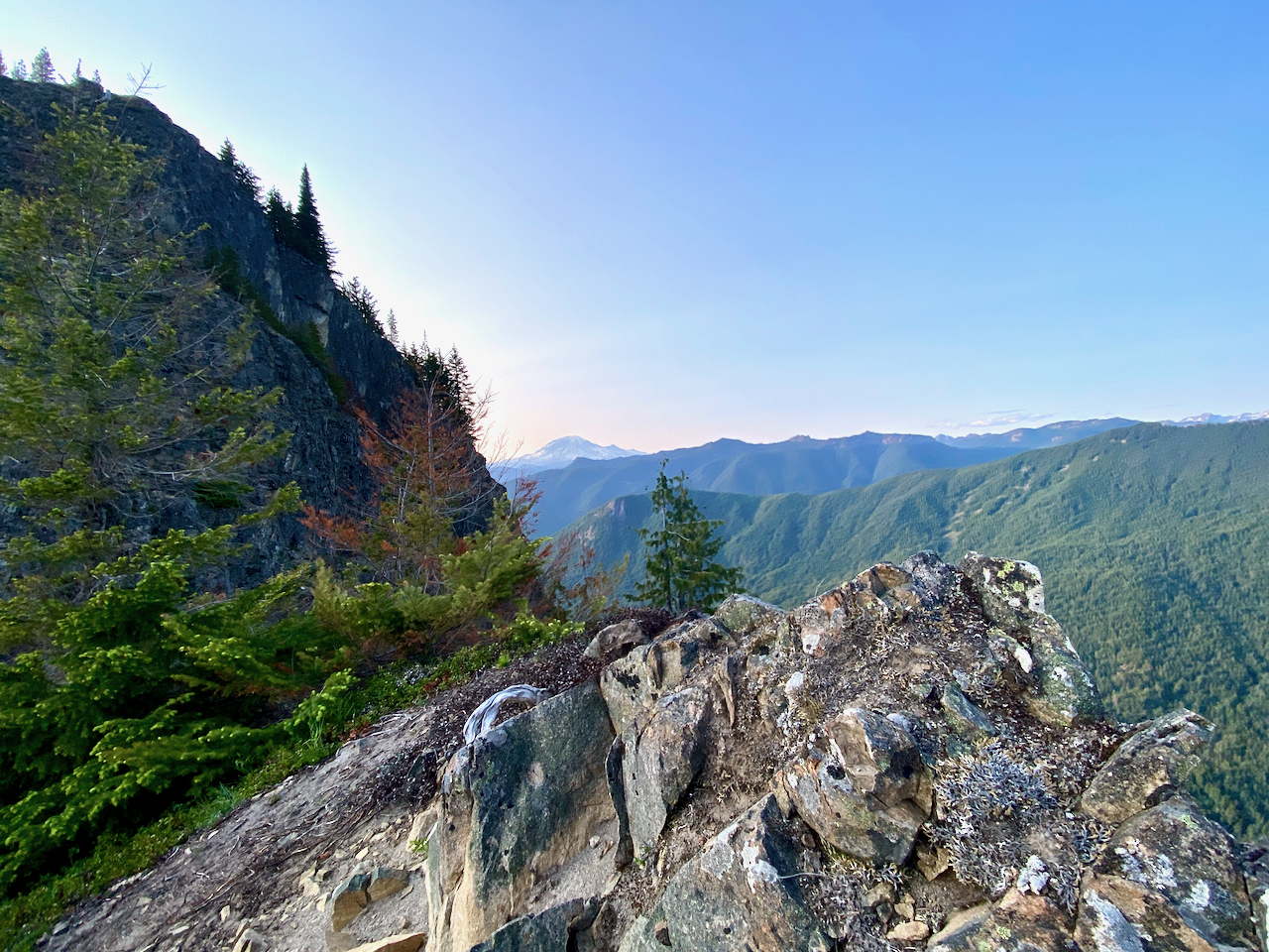
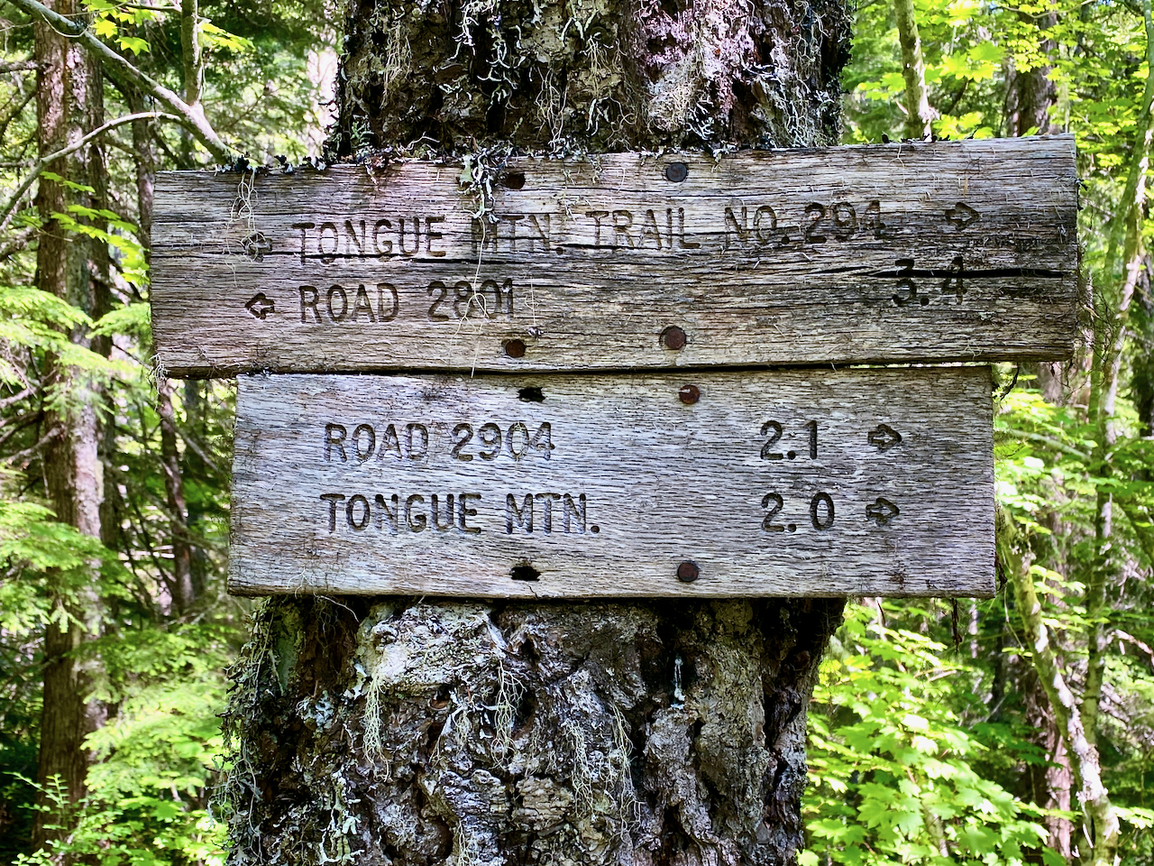
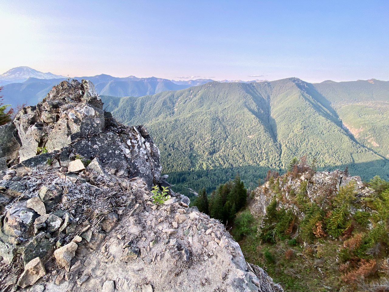
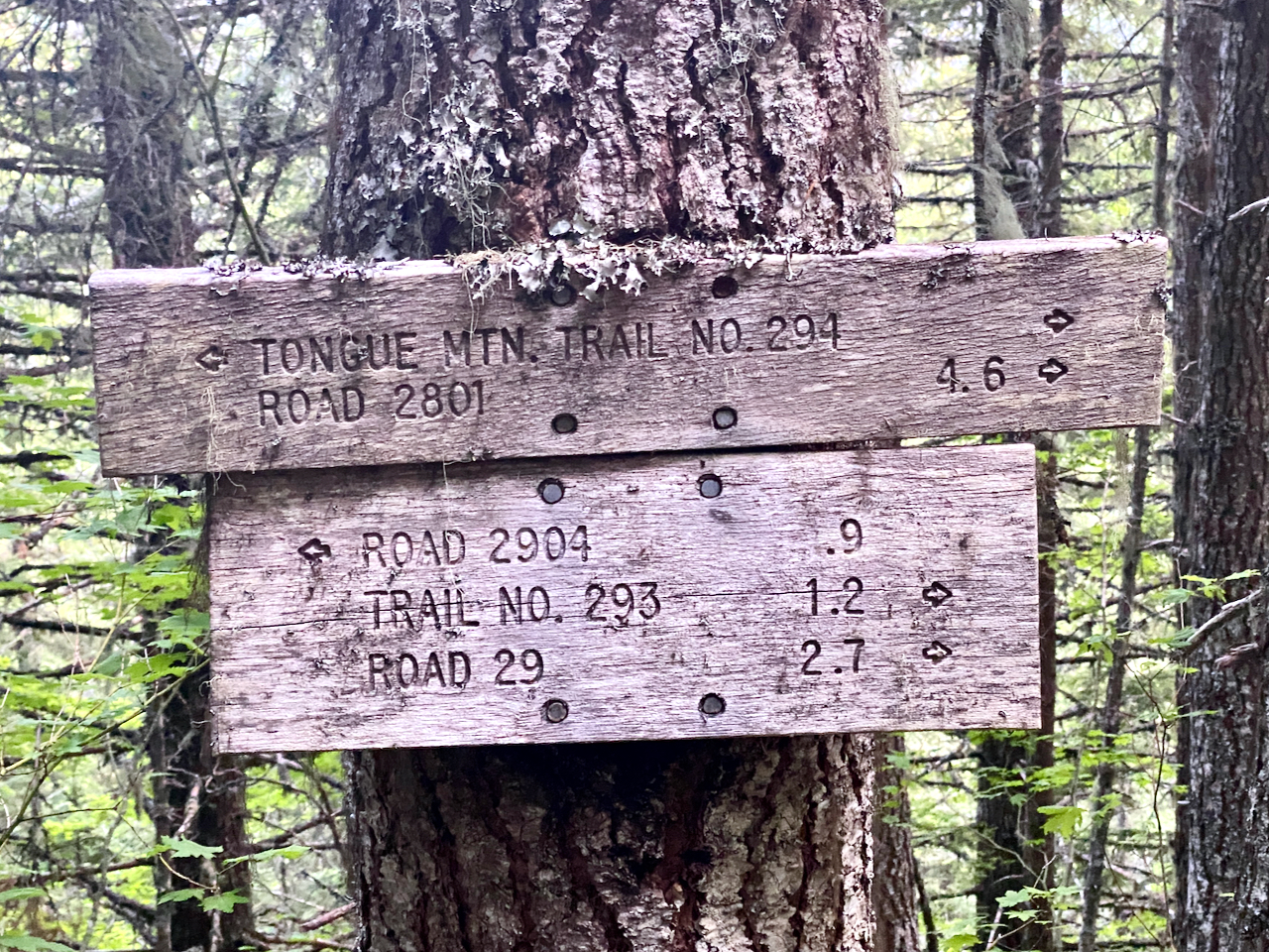
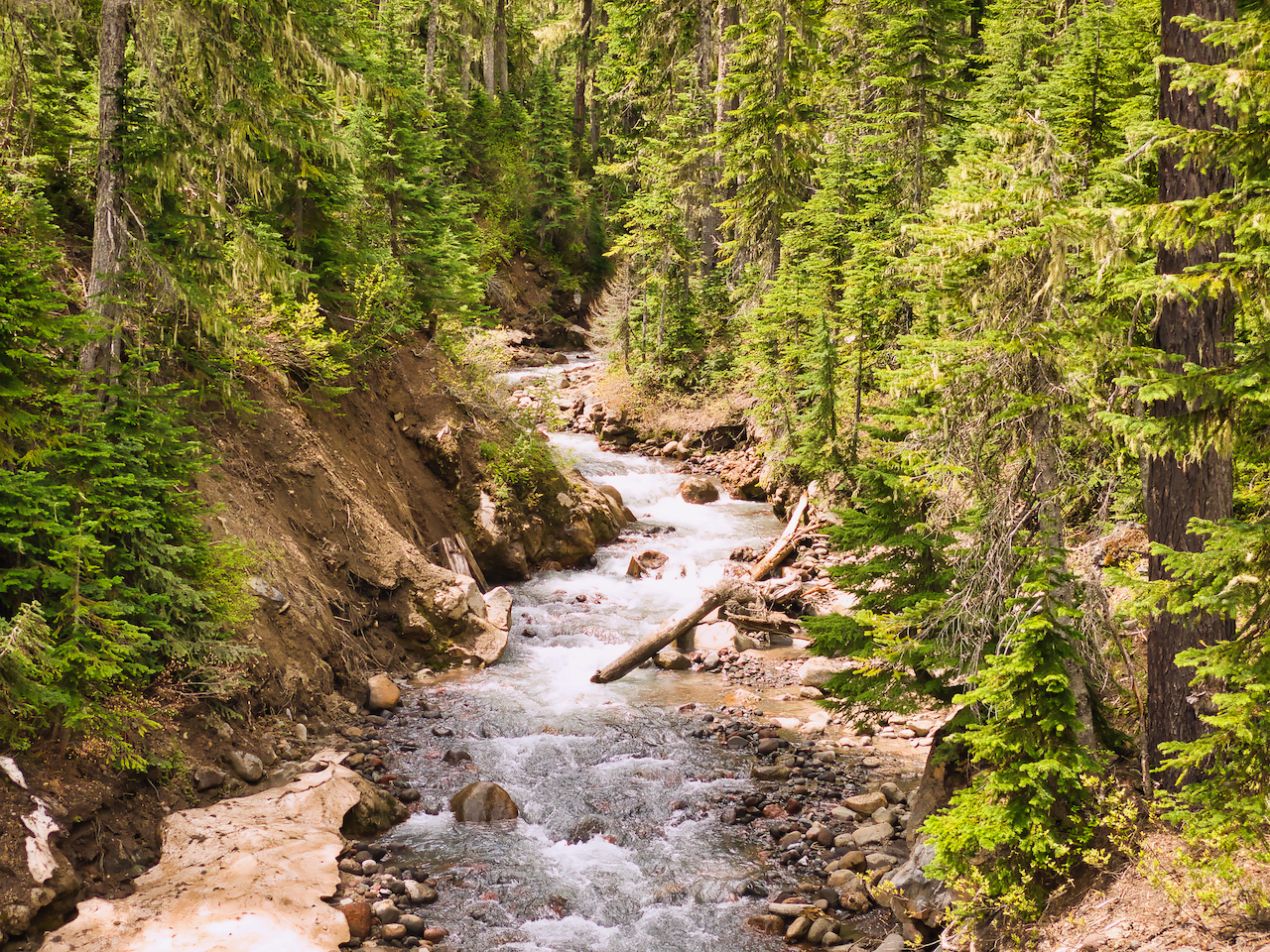
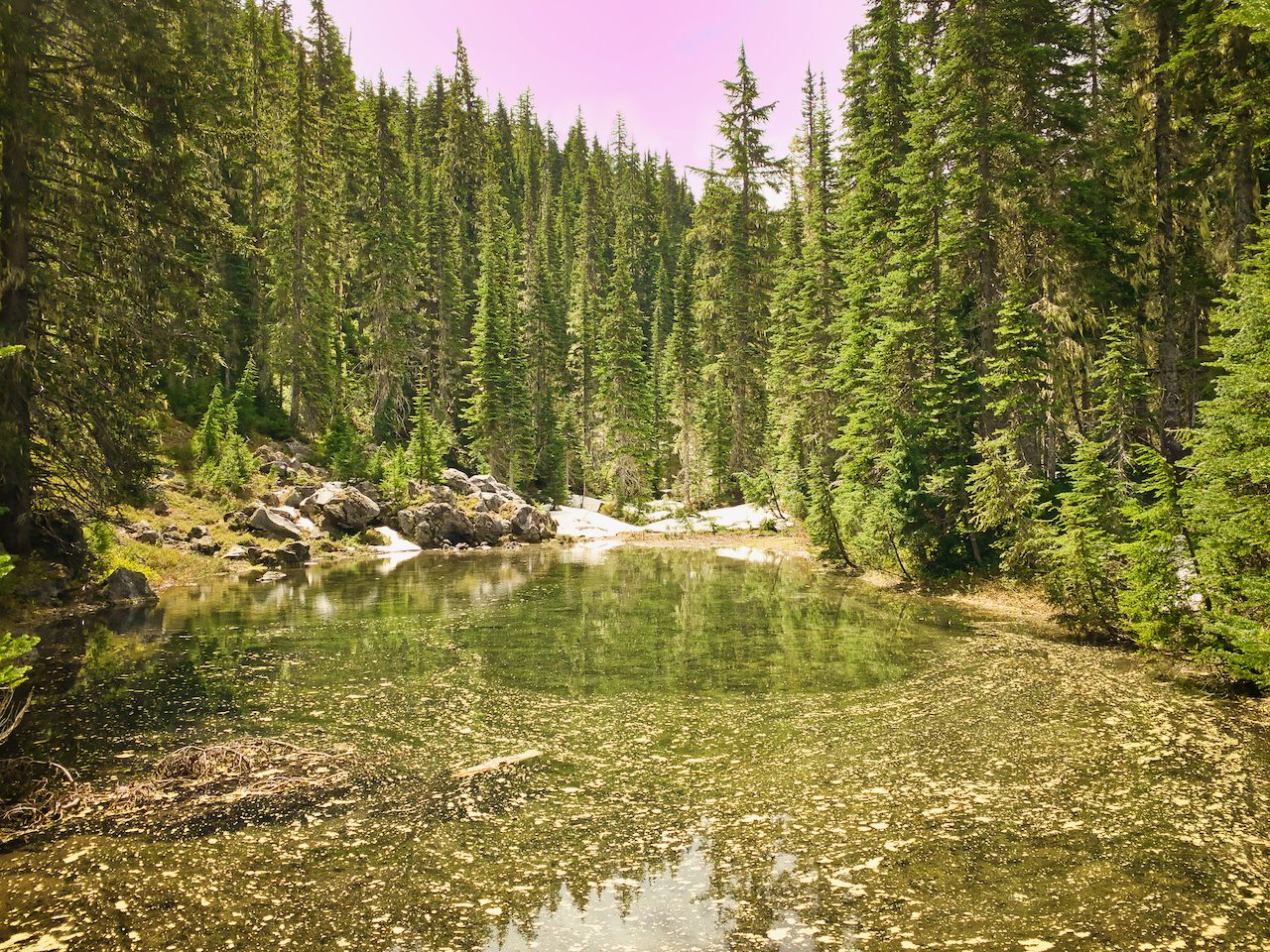
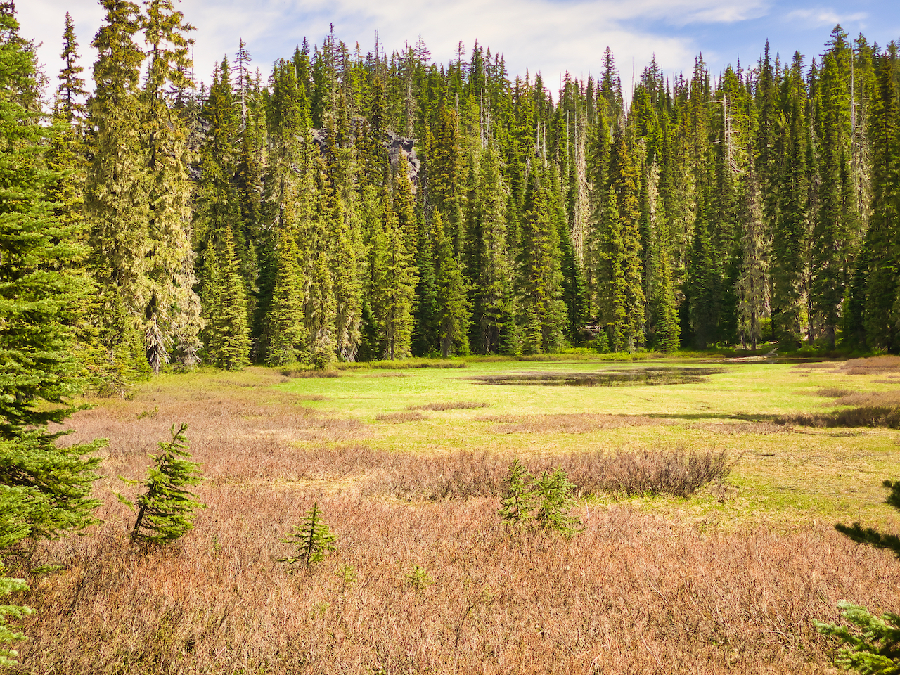
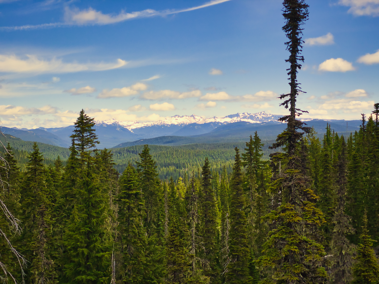
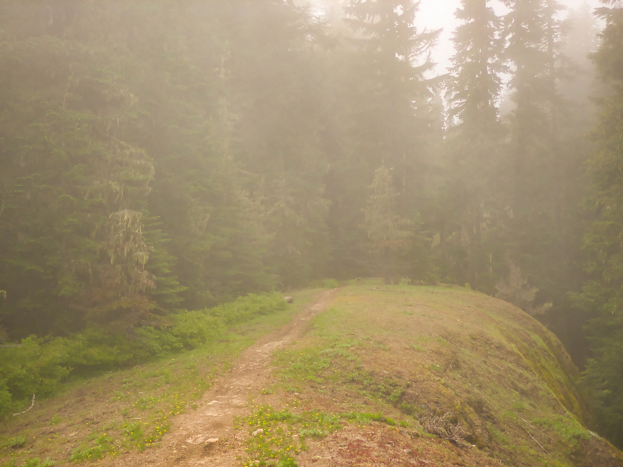
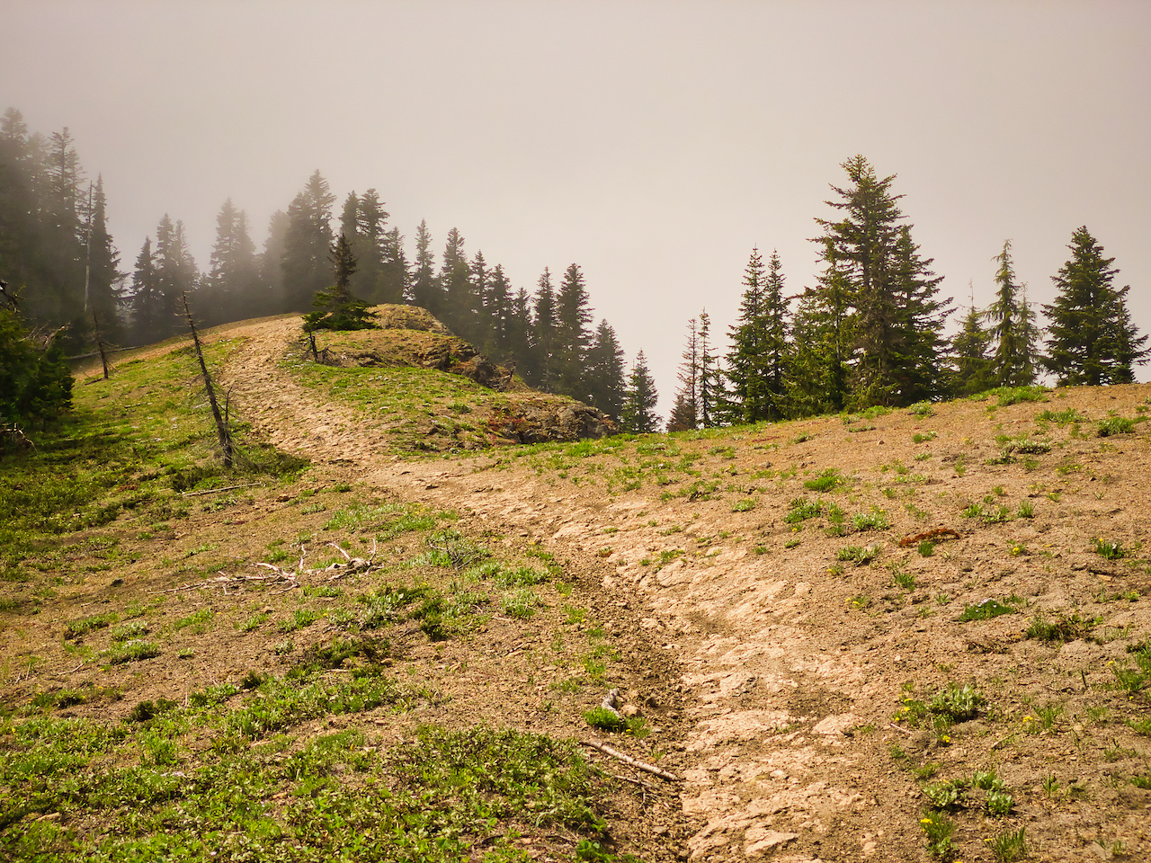
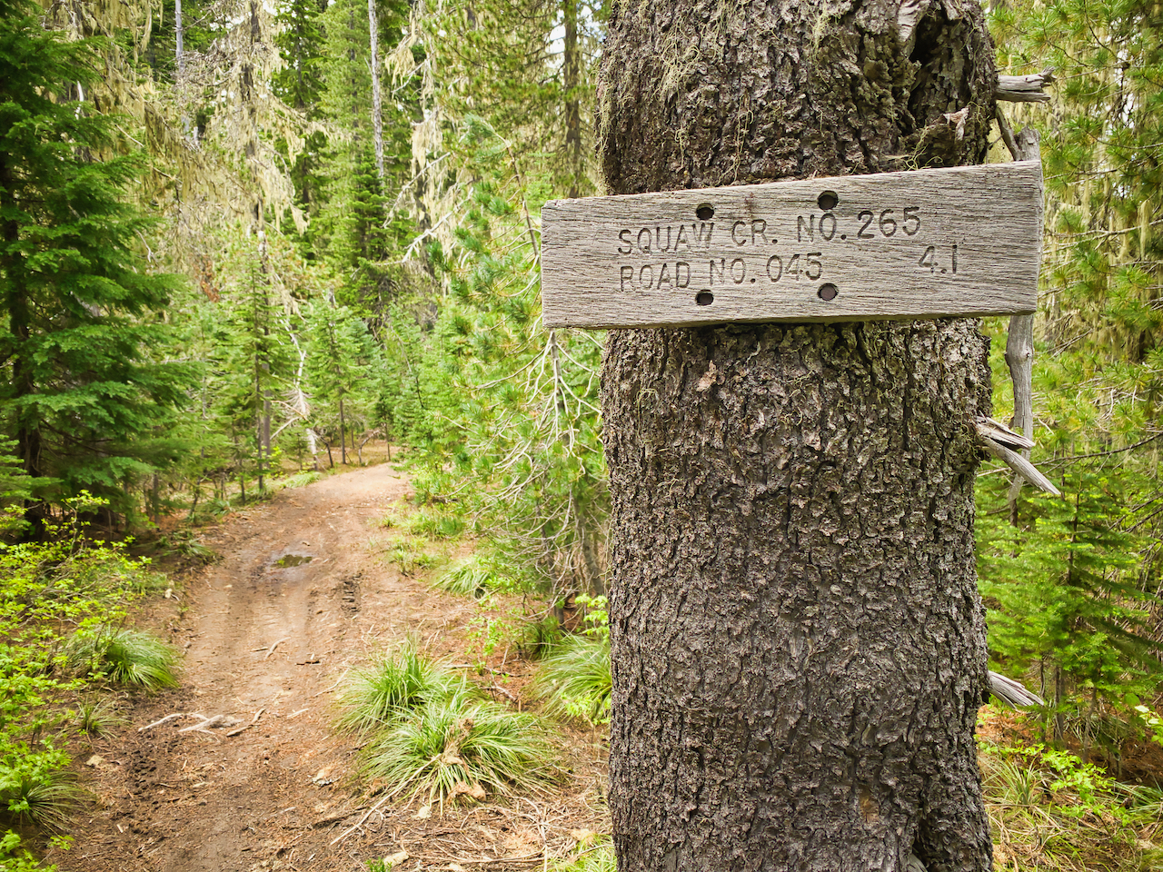
I enjoyed a hike up the East Canyon Trail (Squaw Creek Trail), which afforded some nice ridgetop views, until the weather moved in, about 2 minutes after I reached the top. The next day, I walked thru the Takh Takh meadows and down the 2359 so far as the Killen Creek TH. I even enjoyed a nice campfire in between.
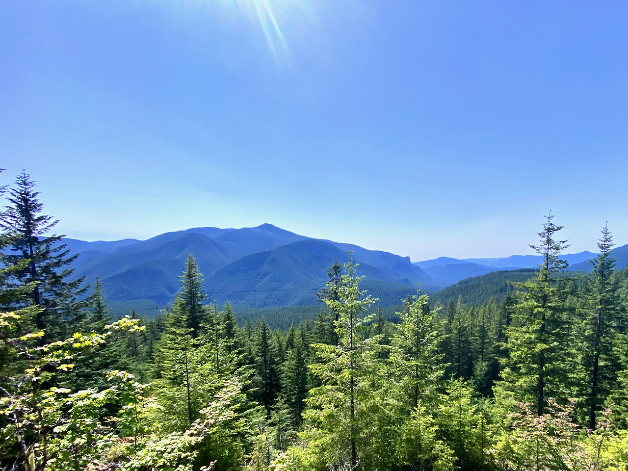
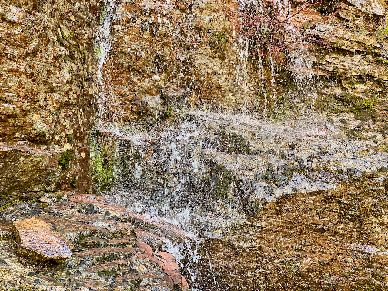
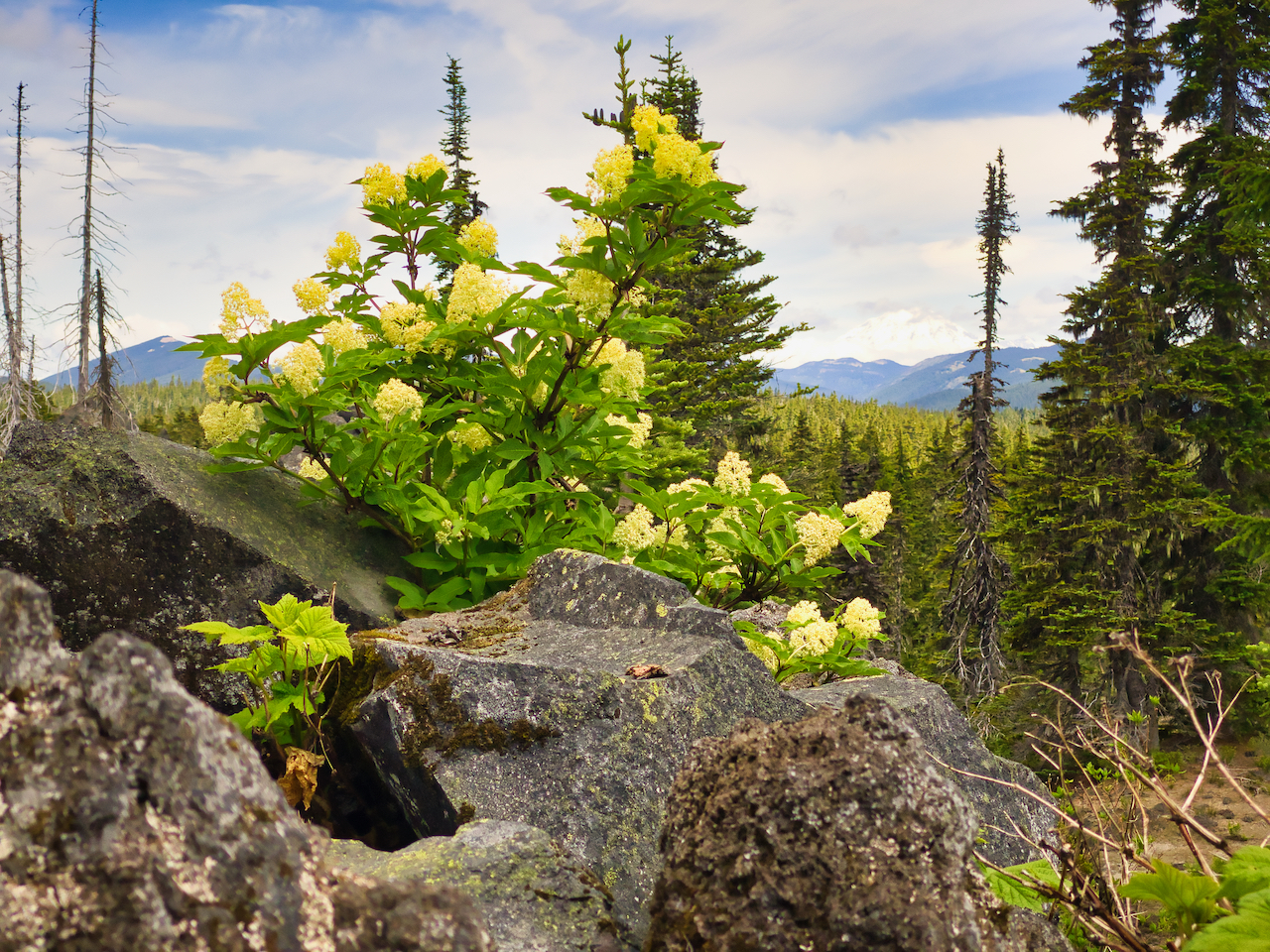
The snowline persists just at or above the wilderness boundary above Takh Takh meadows.


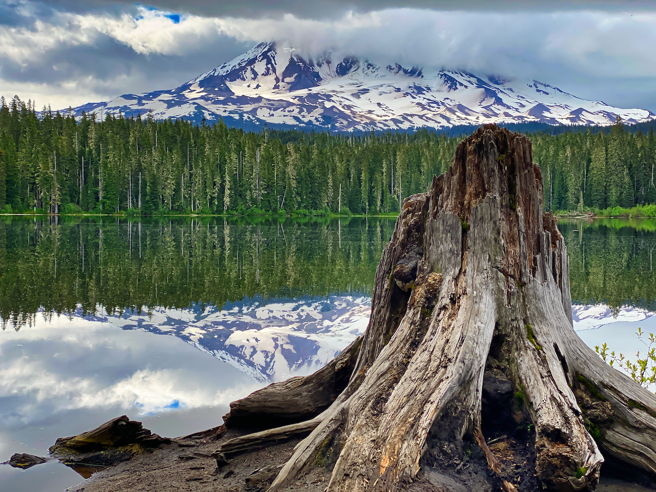
Images taken July 3-5, near Mt. Adams, GPNF


17.9 miles hiked with 2,100′ elevation gain.
Leave a Reply