While camped down along the Cispus River, I explored the lower reaches of Yellowjacket Creek, and found a great swimming hole!
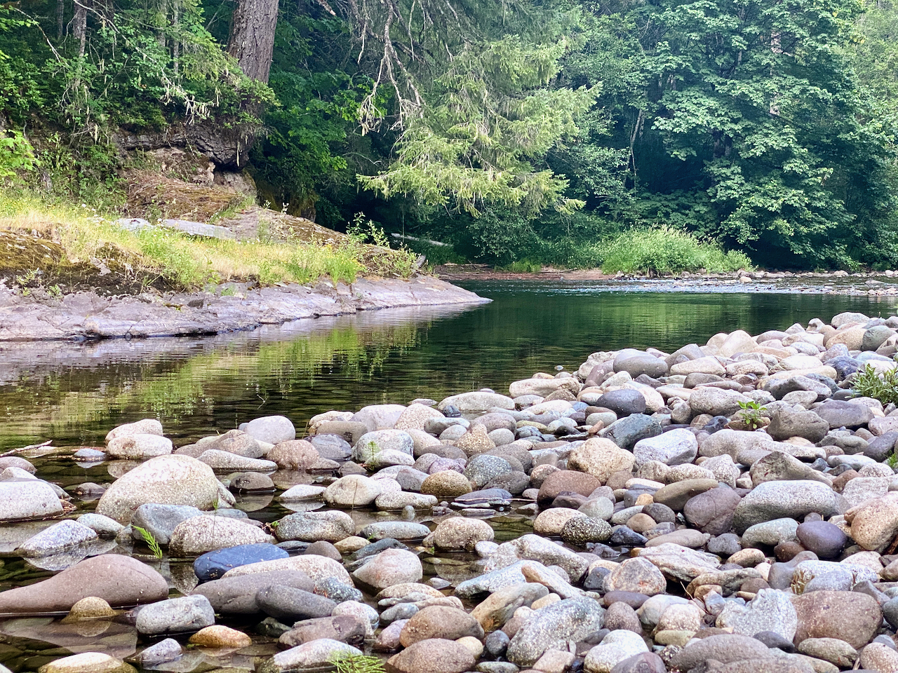
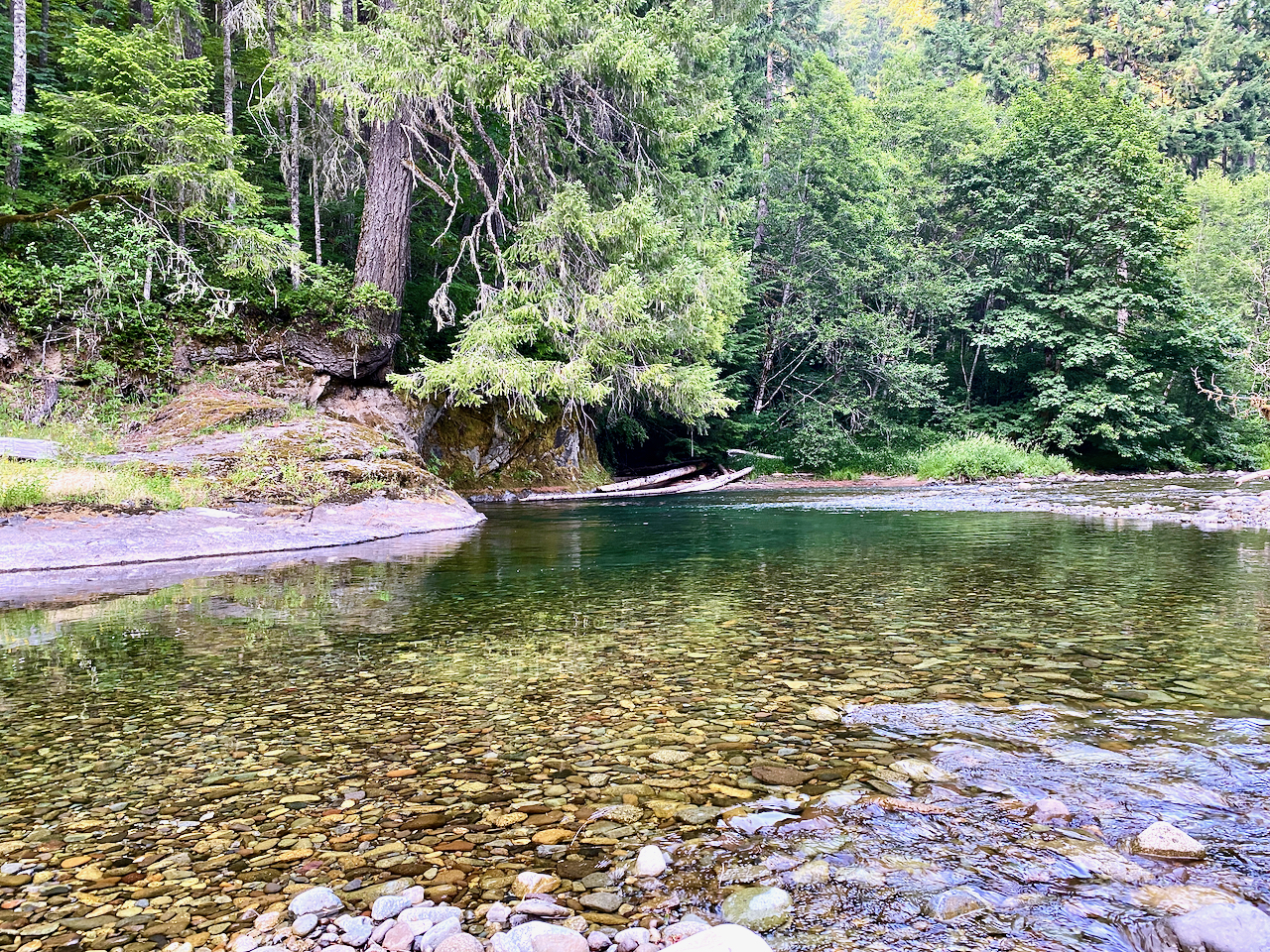
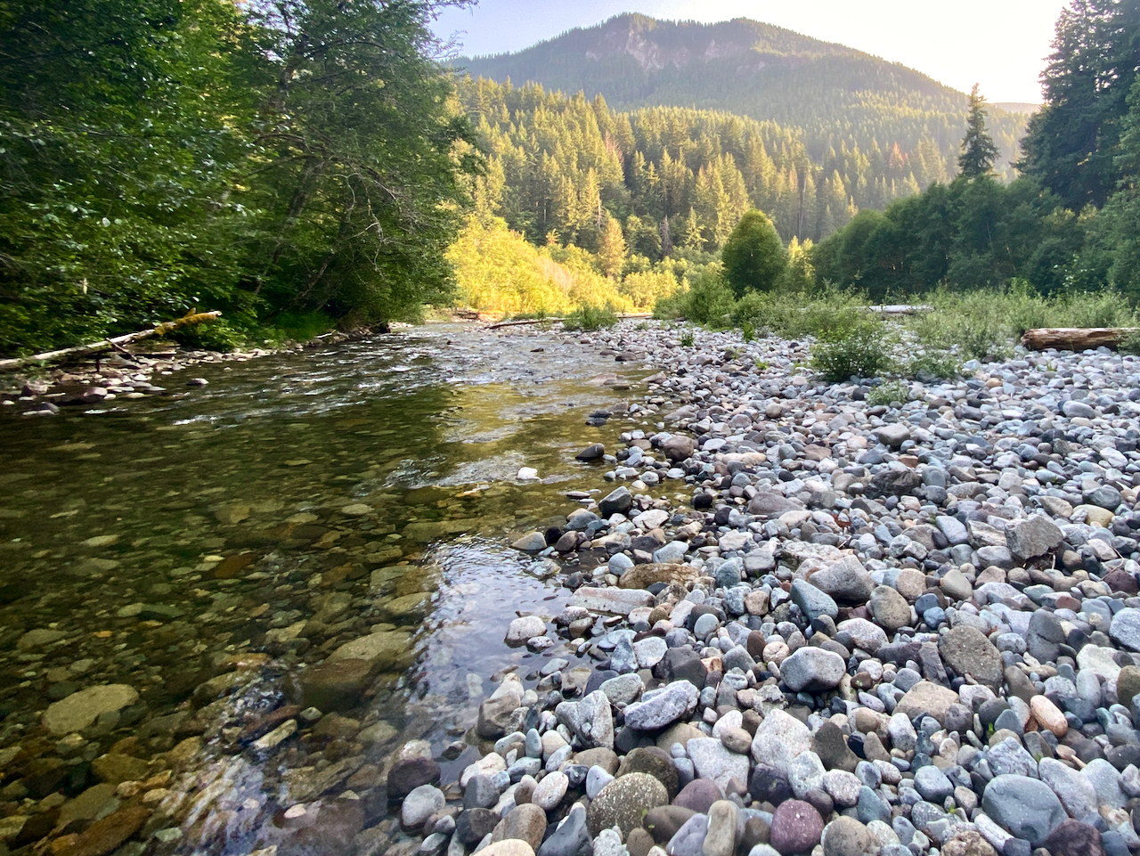
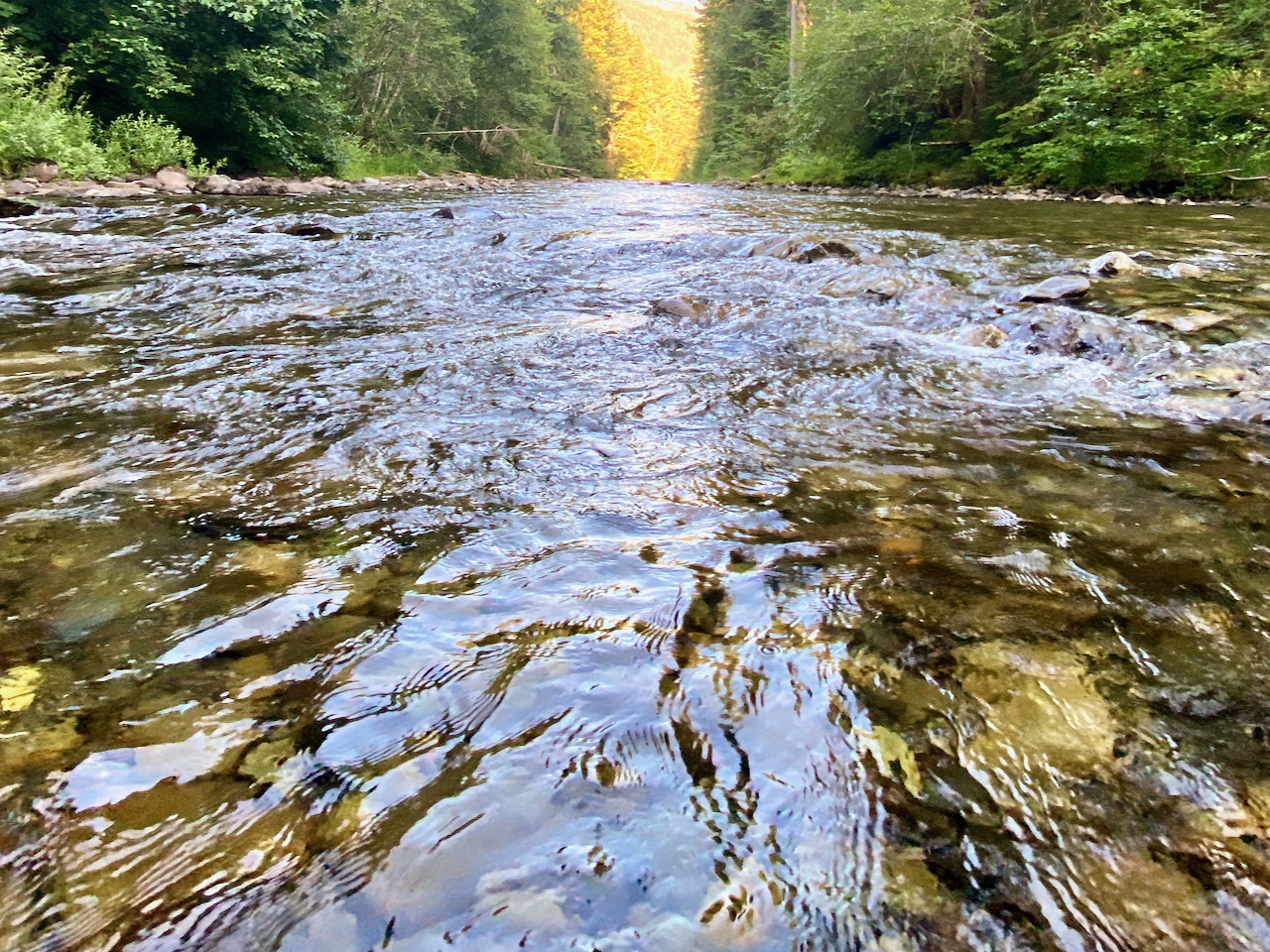
Images taken along Yellowjacket Creek, Gifford Pinchot National Forest.
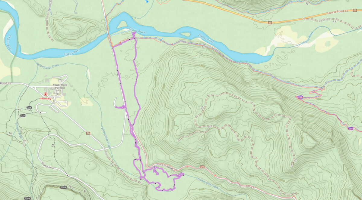
3.8 miles hiked, with 107 feet of elevation gain, and a whole lotta getting wet.
Leave a Reply