Being eager for a backpacking trip, but not so eager to deal with the snow in the high country, I opted for a trip in to Packwood Lake, the long way.
On my way in to the valley, I wanted to scope out a section of the “Packwood Trail” that connects Johnson Creek Rd (USFS 21) with Hager Creek Rd (USFS 48). So I parked at the 2nd dog-leg on USFS 21 and start walking the old road bed. The last time I had been out here, I had noted that the road is washed out and a lot of work would be required to get past the washout. Otherwise, the road is in fine shape. This time, however, I find the road to be so grown over with alder, I didn’t even make it to the washout. But that was small-fry compared to what I did find – an extensive patch of Iris tenax! What the hell is that doing growing up here in the woods on a mountainside? I logged the coordinates with a way point for my I. tenax project.
Then, having driven up the valley to the 48 Rd, I parked at the first good wide spot, and started hoofing it. A trail takes off into the woods at the first dog-leg in the road. Were one to continue up to the next dog-leg, one would arrive at the other end of the washed out trail segment I had just found the irises on.
The trail is in pretty good shape, and is obviously used, altho I saw no boot sign and no litter, heading north and then west to the GPNF boundary, then swinging east to cross Hager Creek. From there, the trail follows an old, old road SE, staying above the canyon rim before swinging north to follow the old logging road north to the powerhouse. From behind the powerhouse, I followed social trails up to Snyder Rd (USFS 1260) and the 1260-022 Rd. Near the end of the 022 Rd, I followed a x-country route up the hillside to the 1262 Rd, but found on my return that there is good trail to take just a few feet further on.
I followed the 1262 Rd just a short way before taking a nice trail up to the 1262022 Rd to another short trail segment, then back on the 1262. The 1262 Rd takes one all the way to the dam, but one can also follow a trail, which I did. The trail rises steeply over the dam on some pavement, then drops one down at the old historic guard station. I followed the lakeside trail up to the head of the lake, and selected a campsite with a great hang and an awesome fire pit, spending some time gathering firewood. There were campers at most sites until I got up toward the upper end, where there were very few, and none where I chose to camp.
Later, I hiked up to a washout a few miles upstream of the lake. I had hoped to hike up to the saddle, but encountering and chatting with a hiker at the washout coming down from there, I decided that it just wasn’t worth fighting the brush.
That hiker ended up setting up camp near me, and we enjoyed the campfire together.
The next day I hiked out, retracing my route, with the exception of exploring some trail on the south bank of Hager Creek. That deserves more exploraration – that trail goes somewhere, and I’m not sure where.
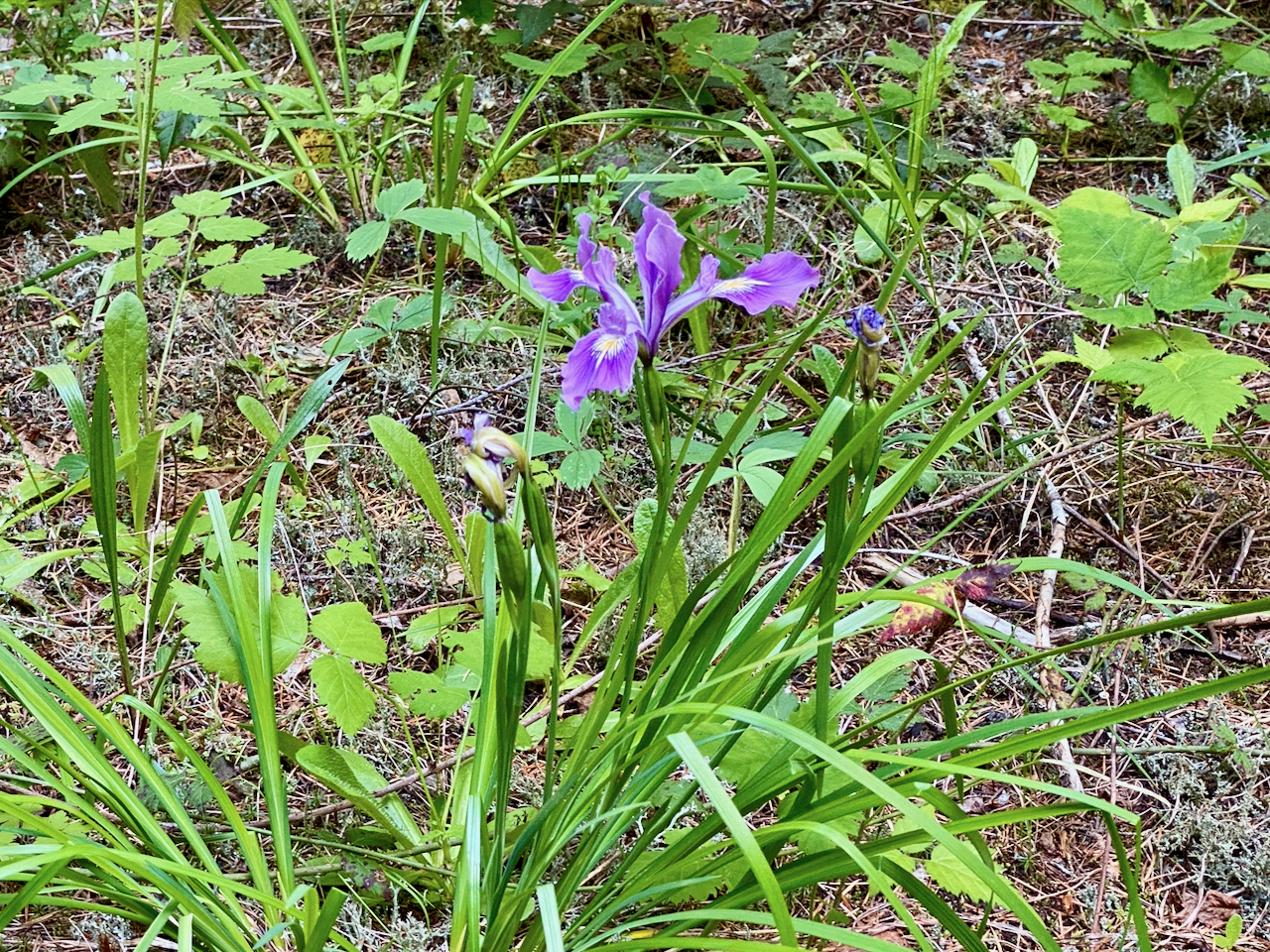
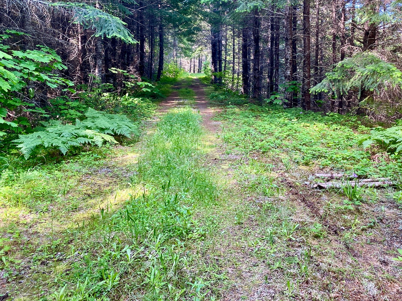
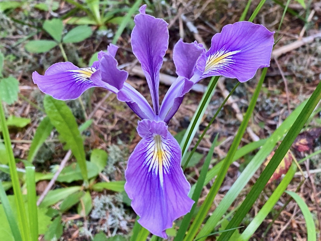
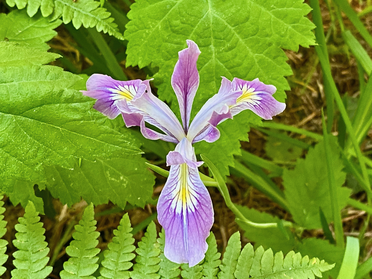
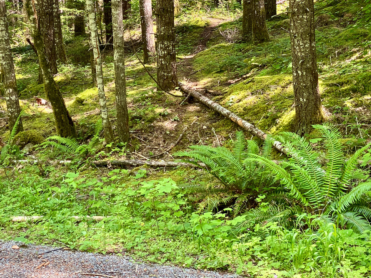
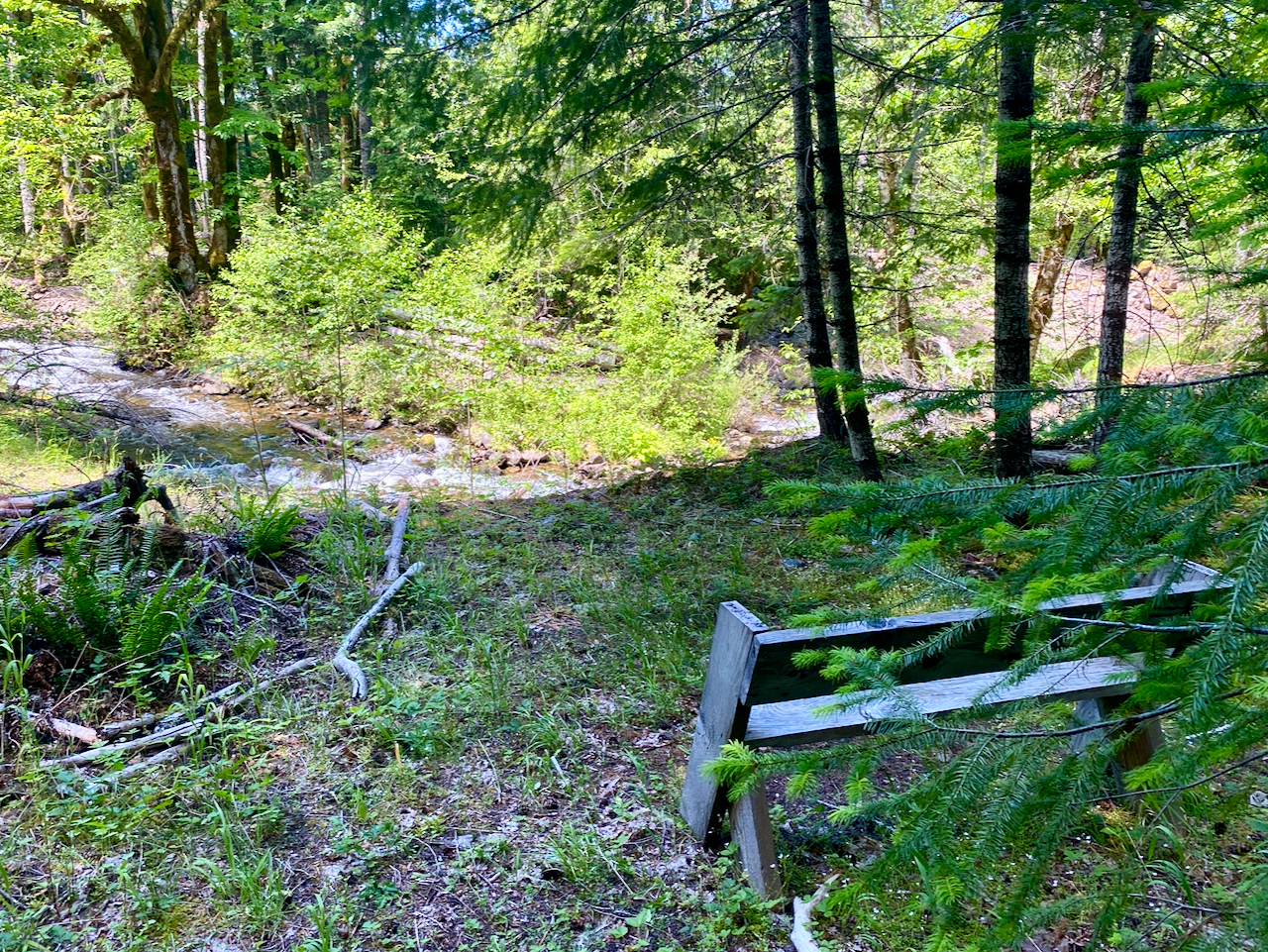
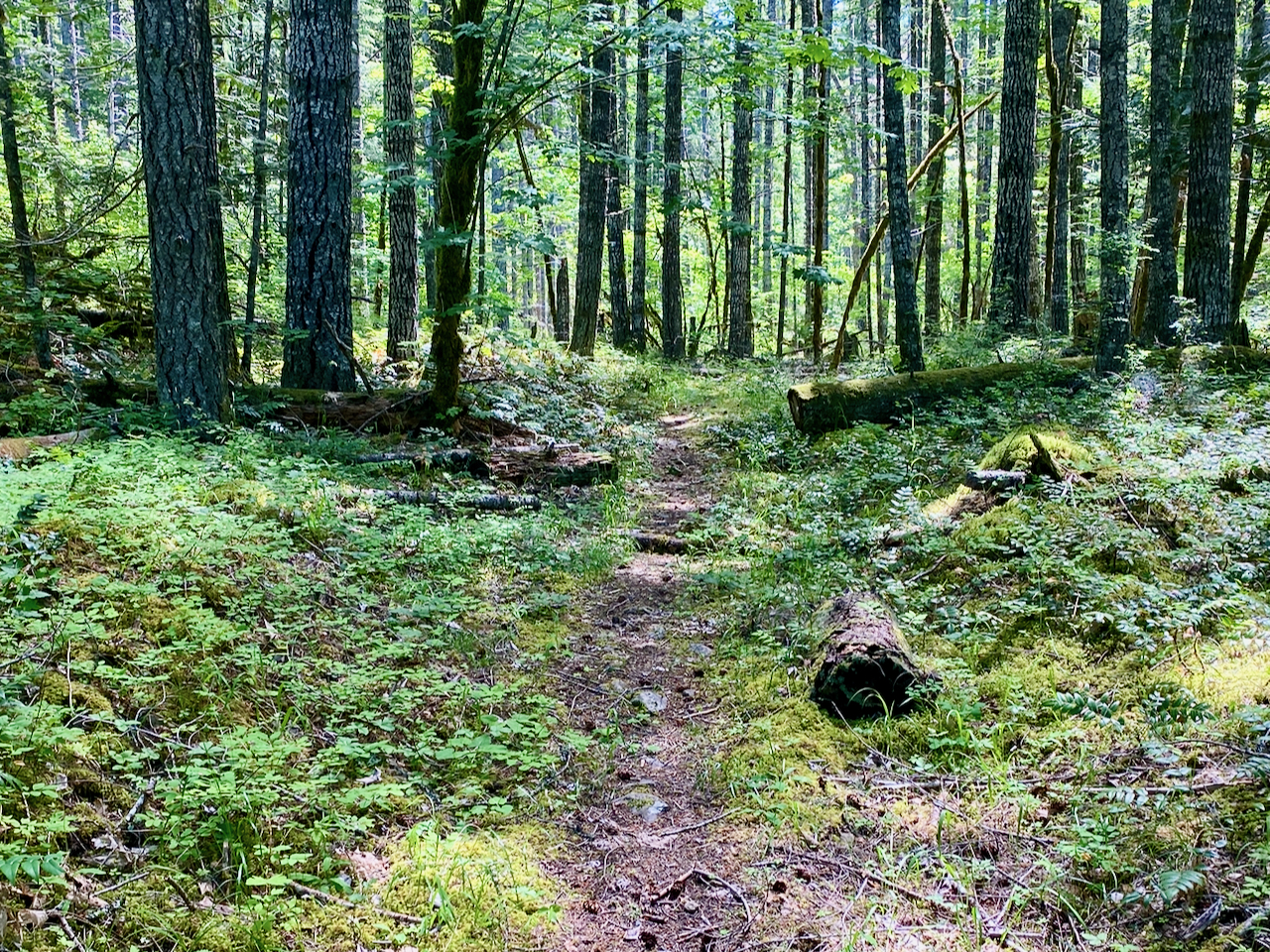
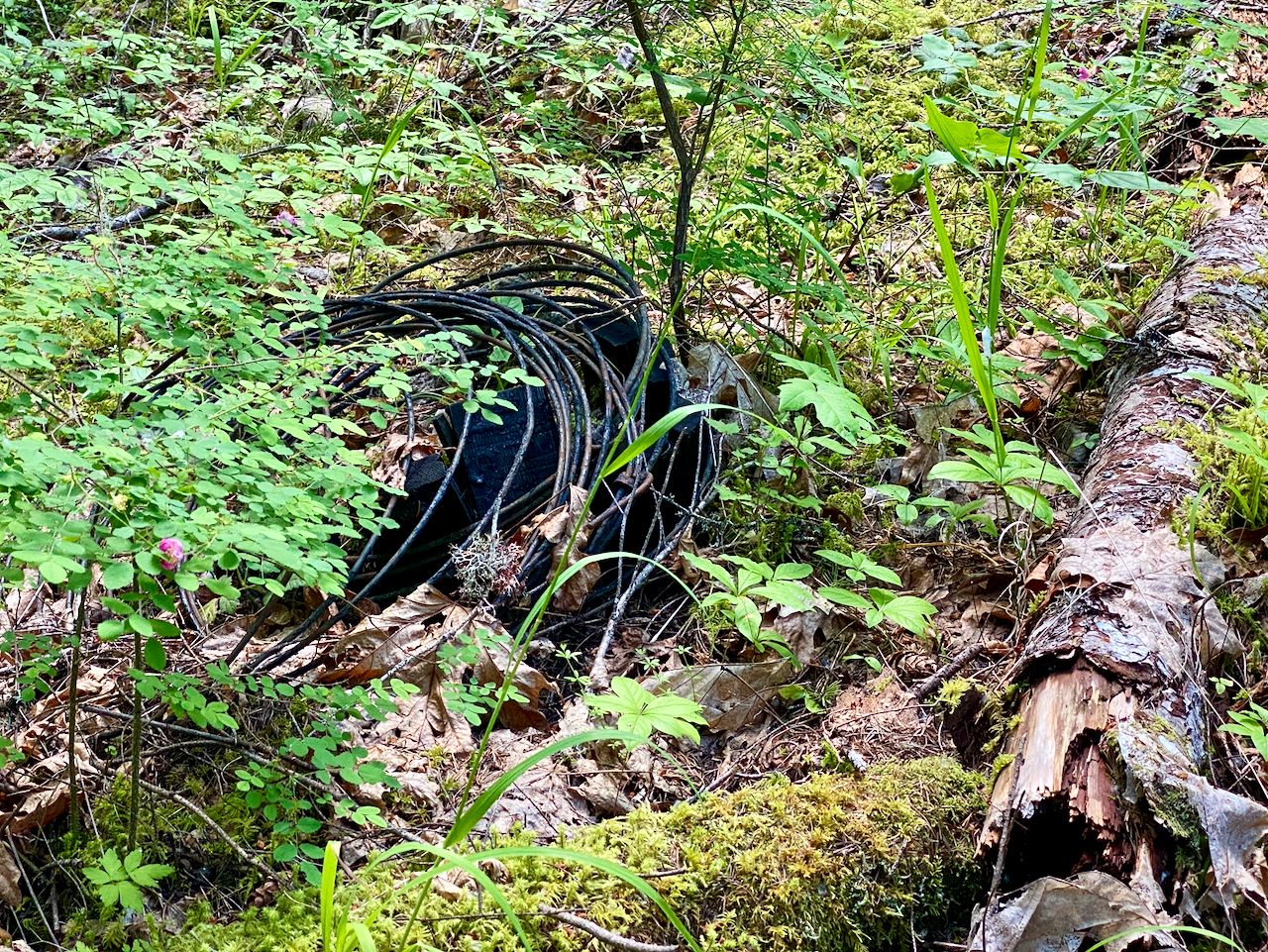
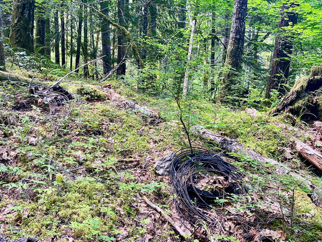
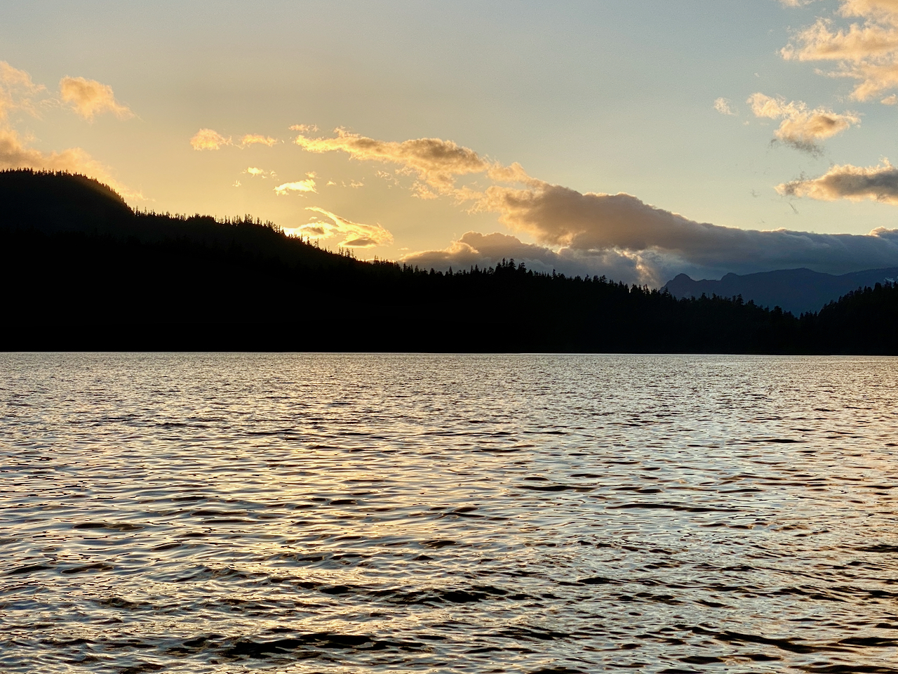
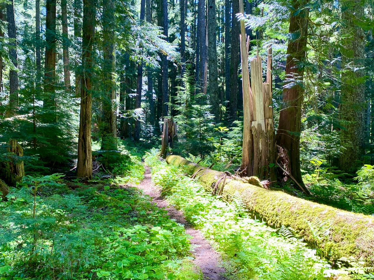
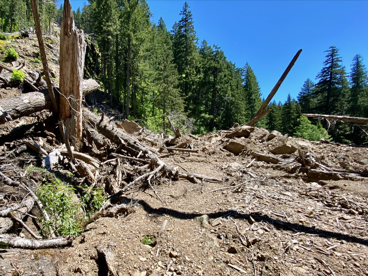
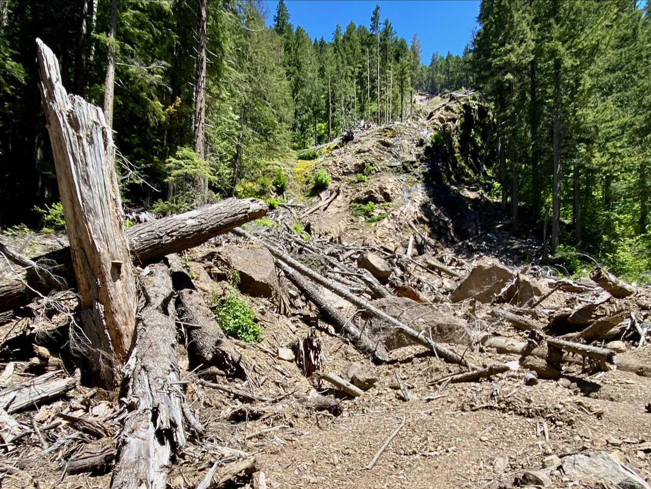
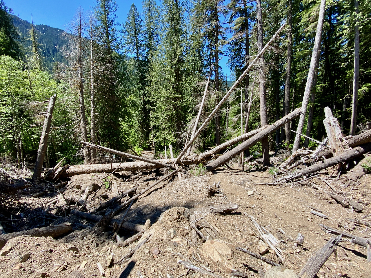
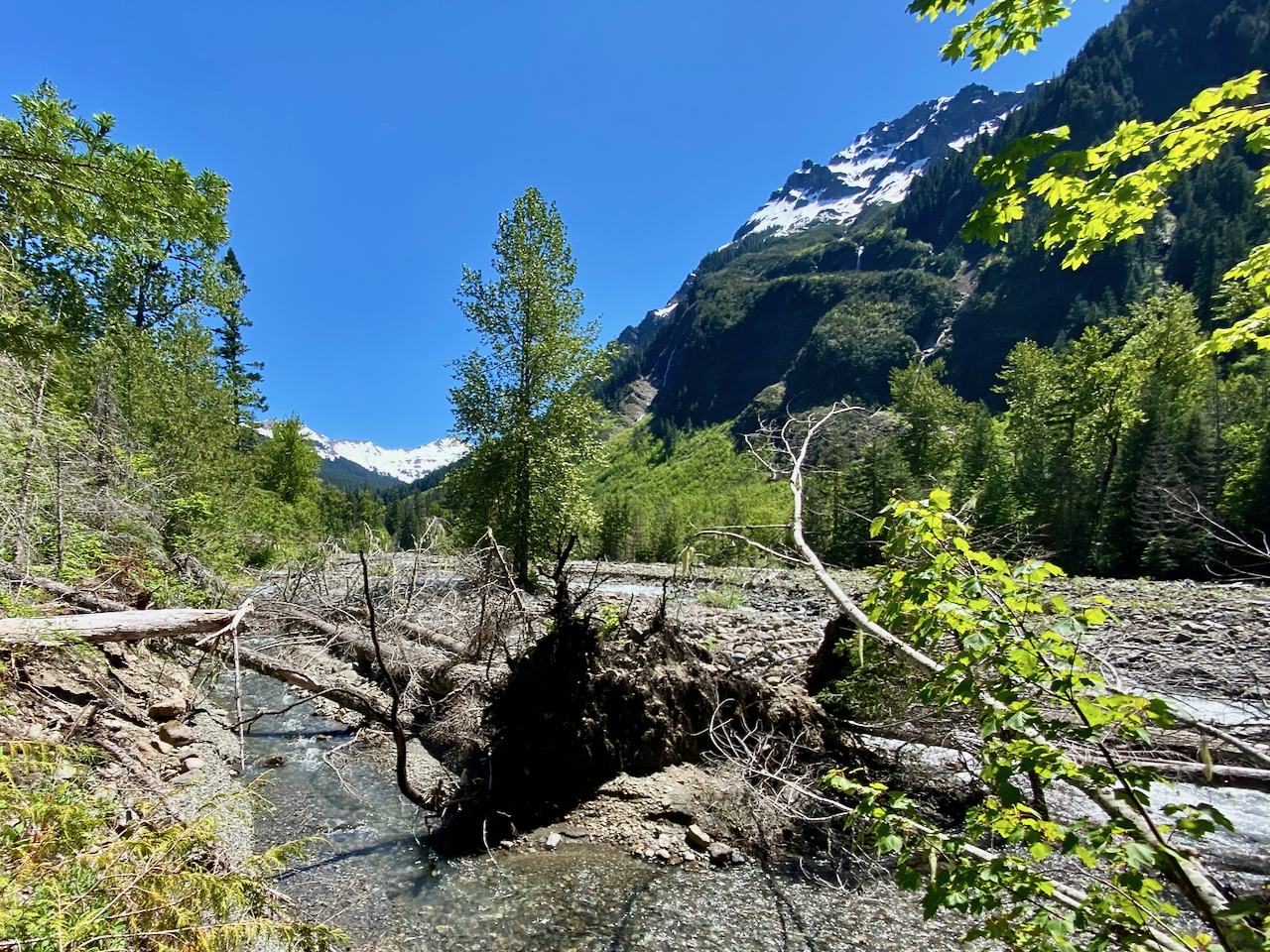
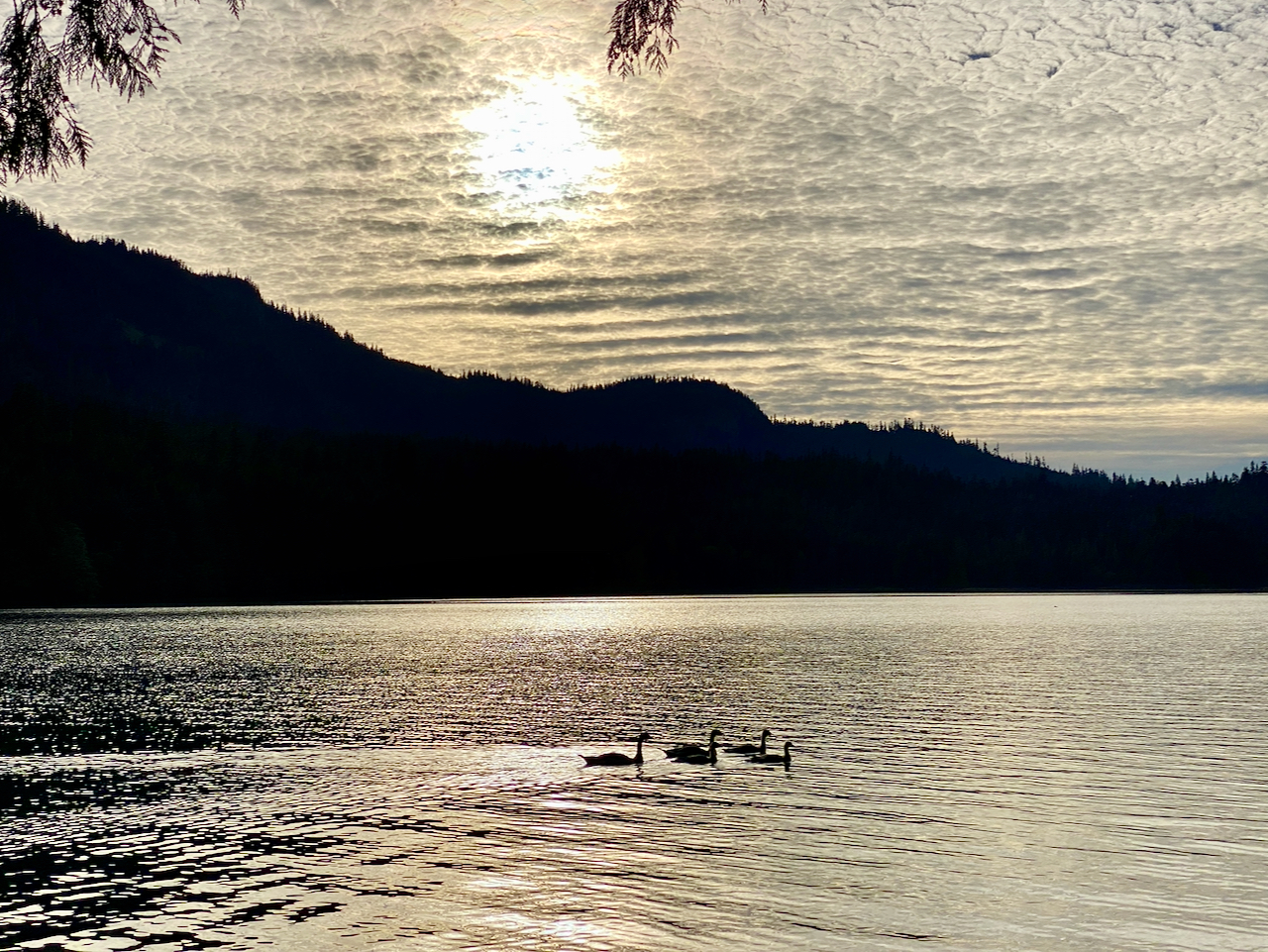
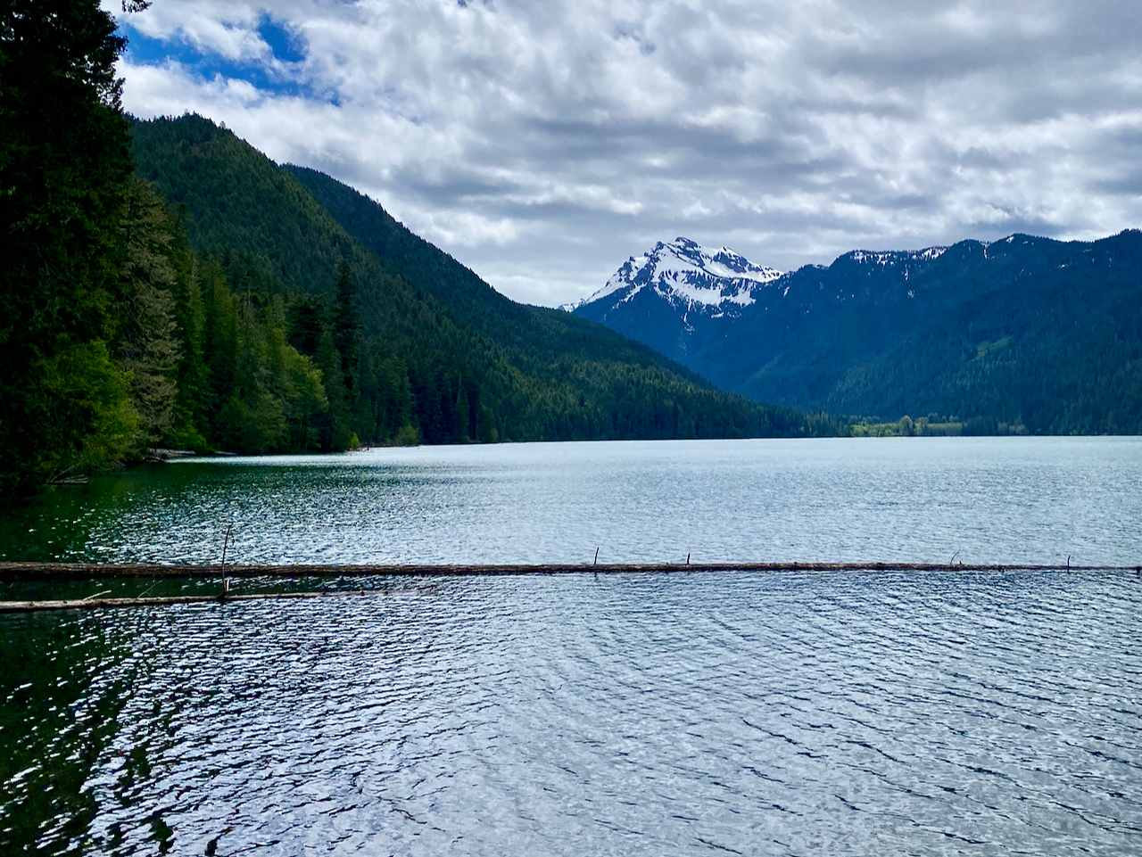
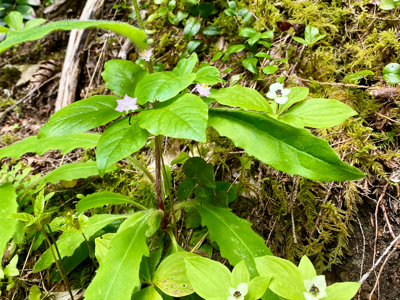
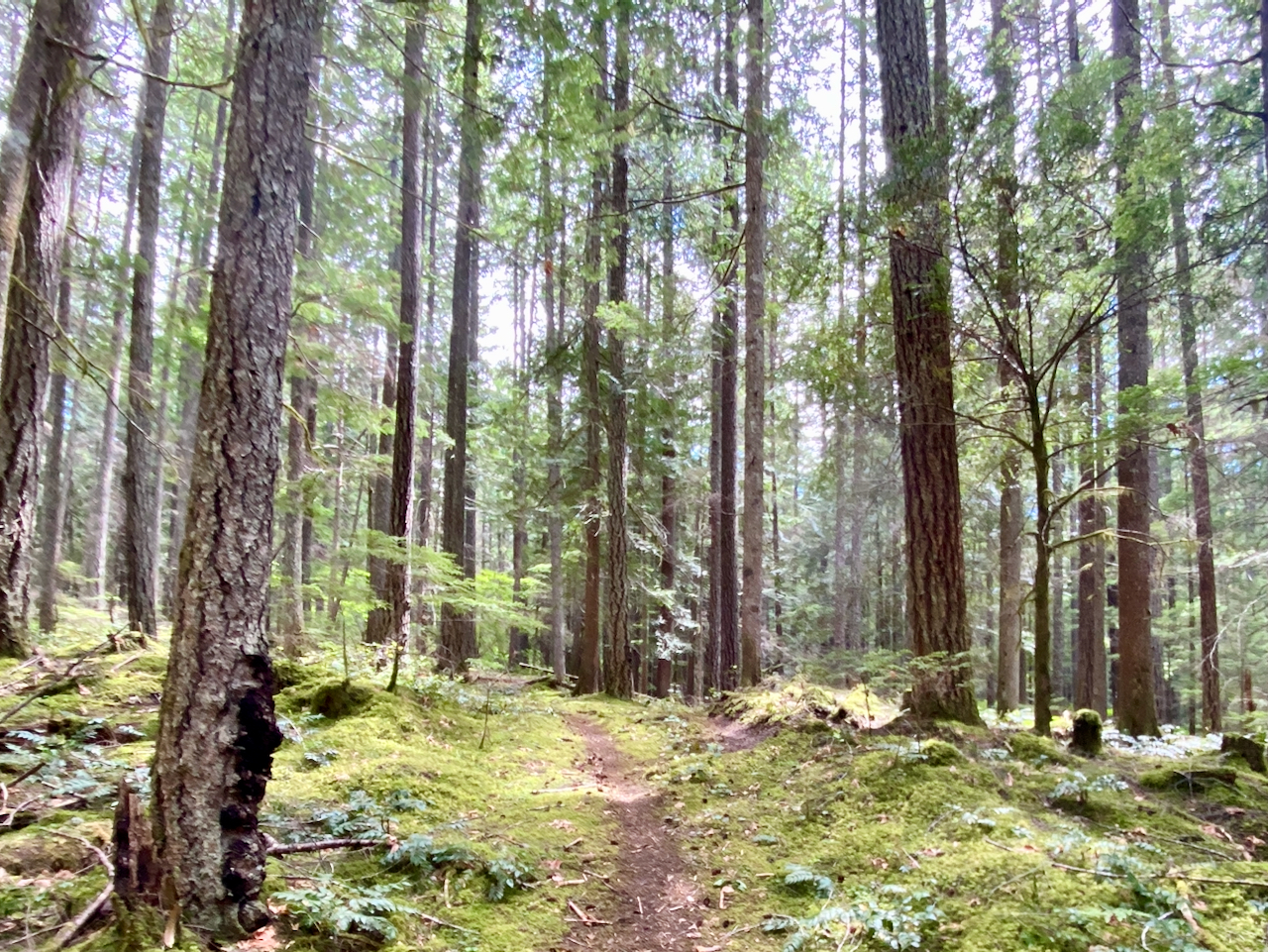
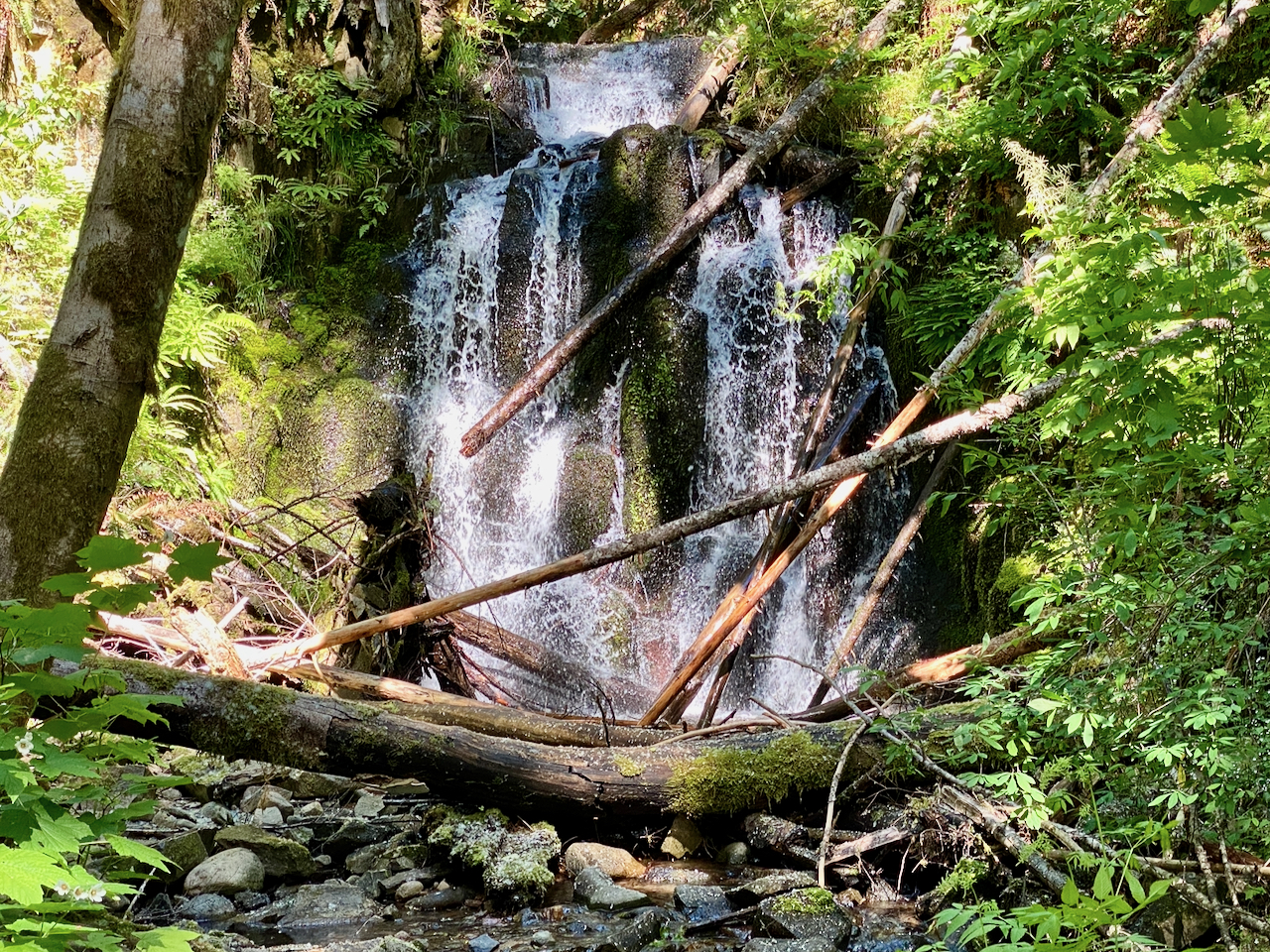
Images taken near Packwood, WA and at Packwood Lake, GPNF, June 9-10, 2024.
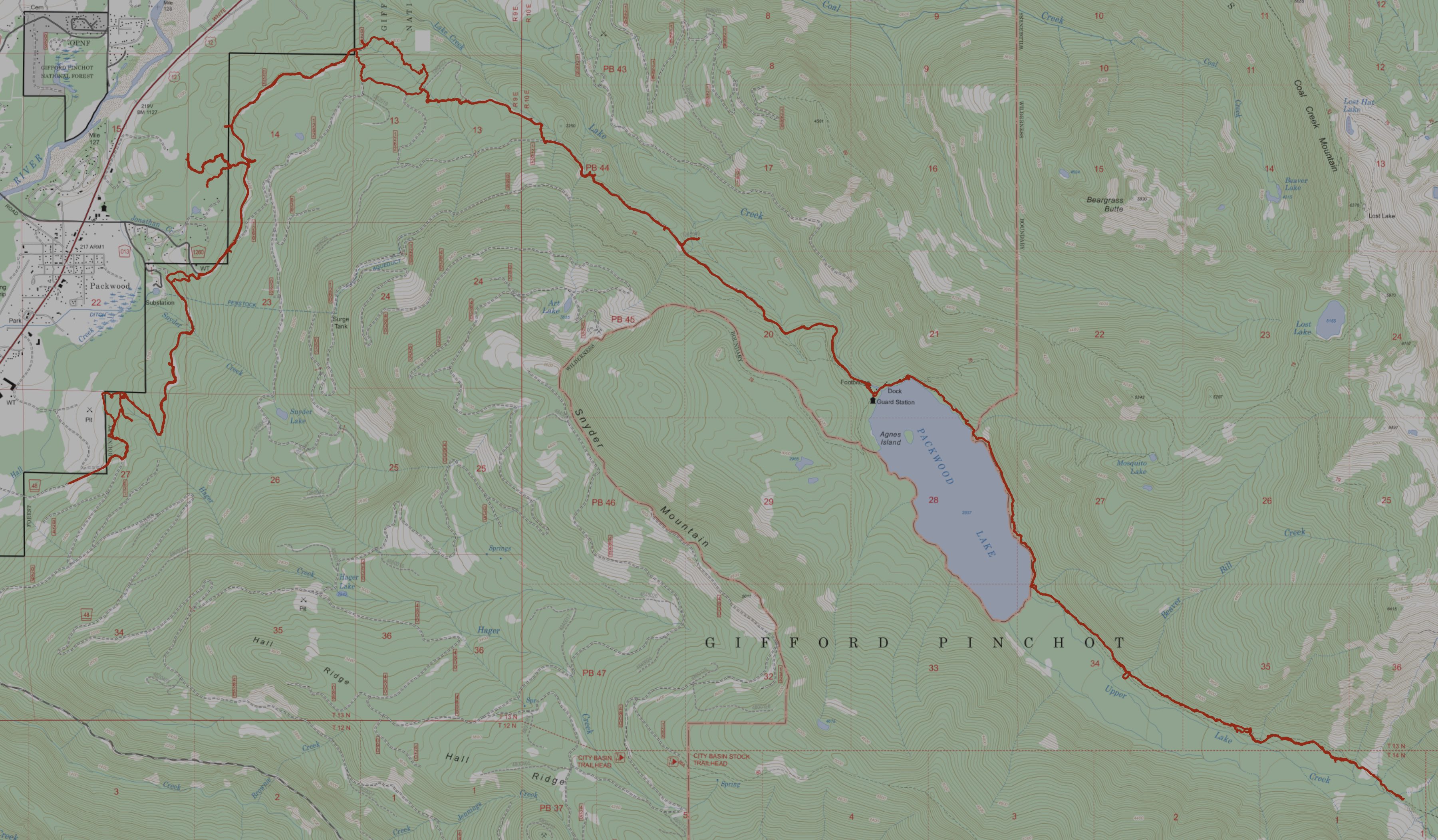
36 miles hiked, with 4,533′ elev. gain.
Leave a Reply