Finally, time for a big hike! Driving thru Skate Creek to reach Hwy 123, I continued over Chinook Pass to Morse Creek, parking a very short distance up the USFS 1700-462 Rd, parking in a dispersed camping area. (It was quite a nice campsite, I would totally go back!). I always get on the road later than I hope, and today was no exception. Hitting the trail at 11:00, I set off up the road toward the trail head. Altho the road was in terrible shape near where I parked, it was fine the rest of the way.
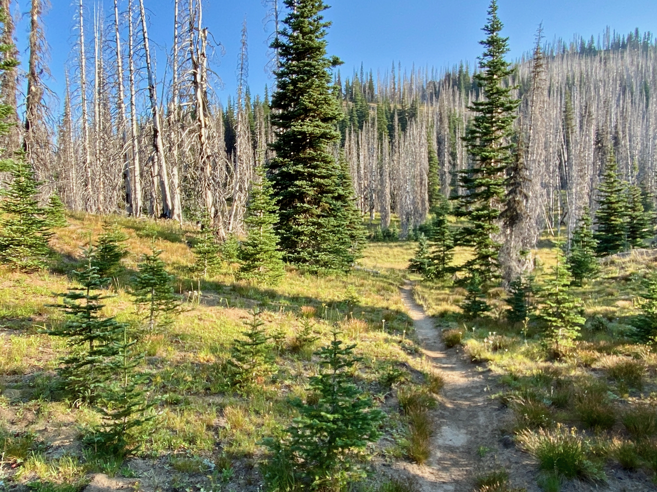
In short order, I’d reached the trail head and started up. I chose to take the Fog City Trail up to the PCT, as it seemed it might cut a short bit off my day’s mileage. After many miles of gorgeous, mostly burned over countryside, including a stop at the delicious Big Crow Basin spring, I found myself at Martinson Gap, where I spread my bedroll out under some trees. It was a crowded location, but I had some semblance of privacy.
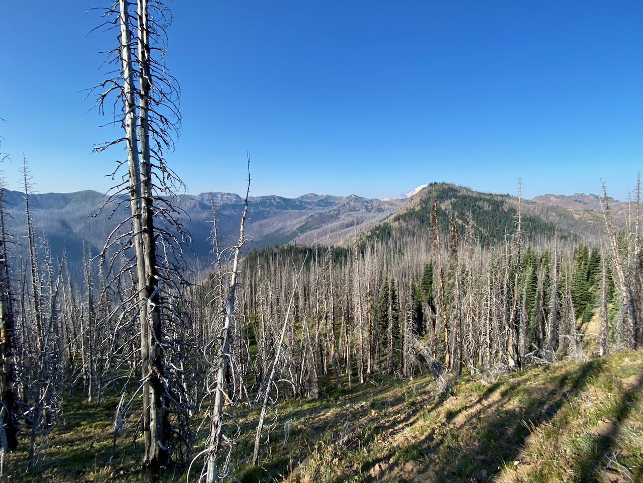
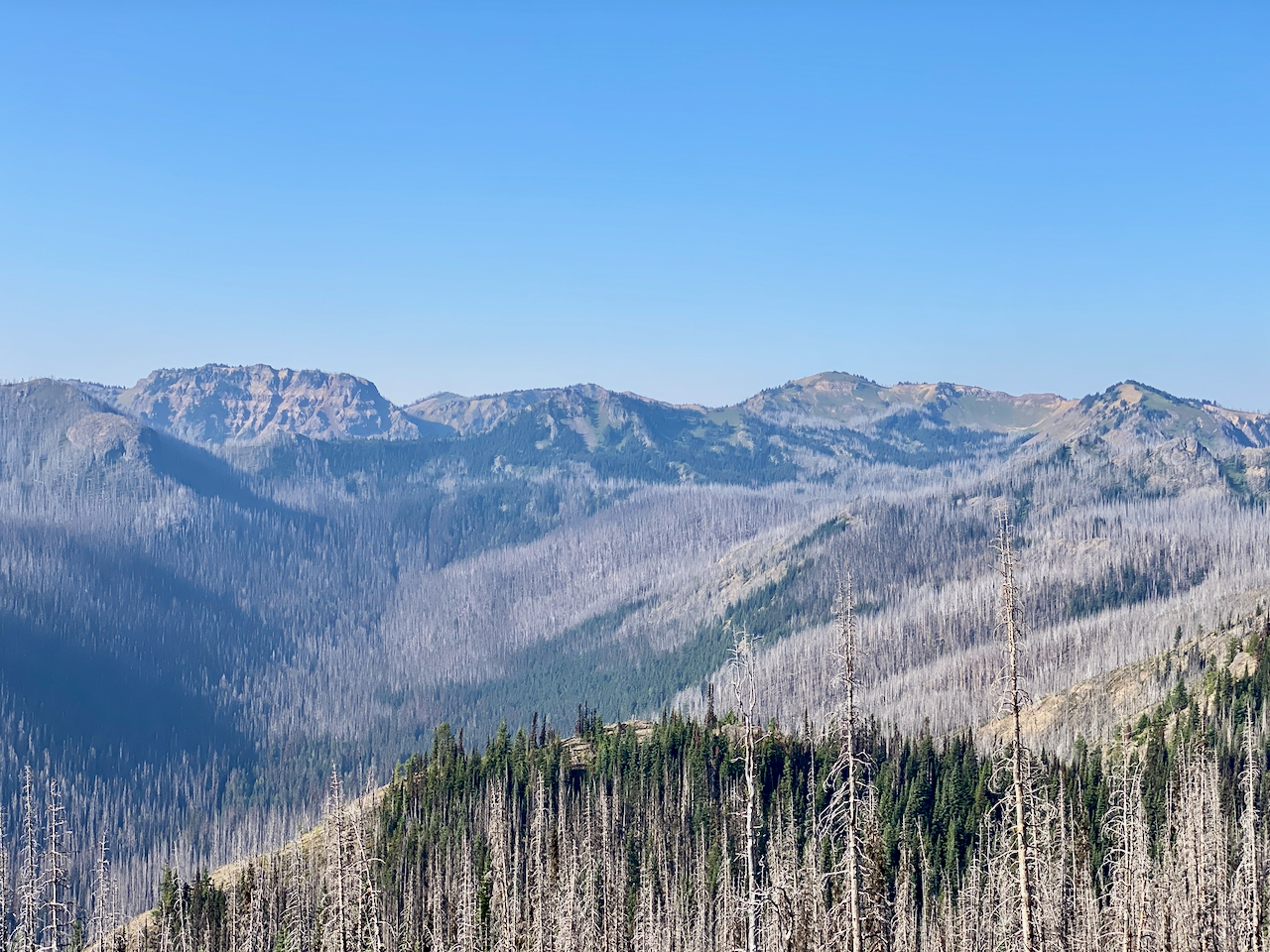
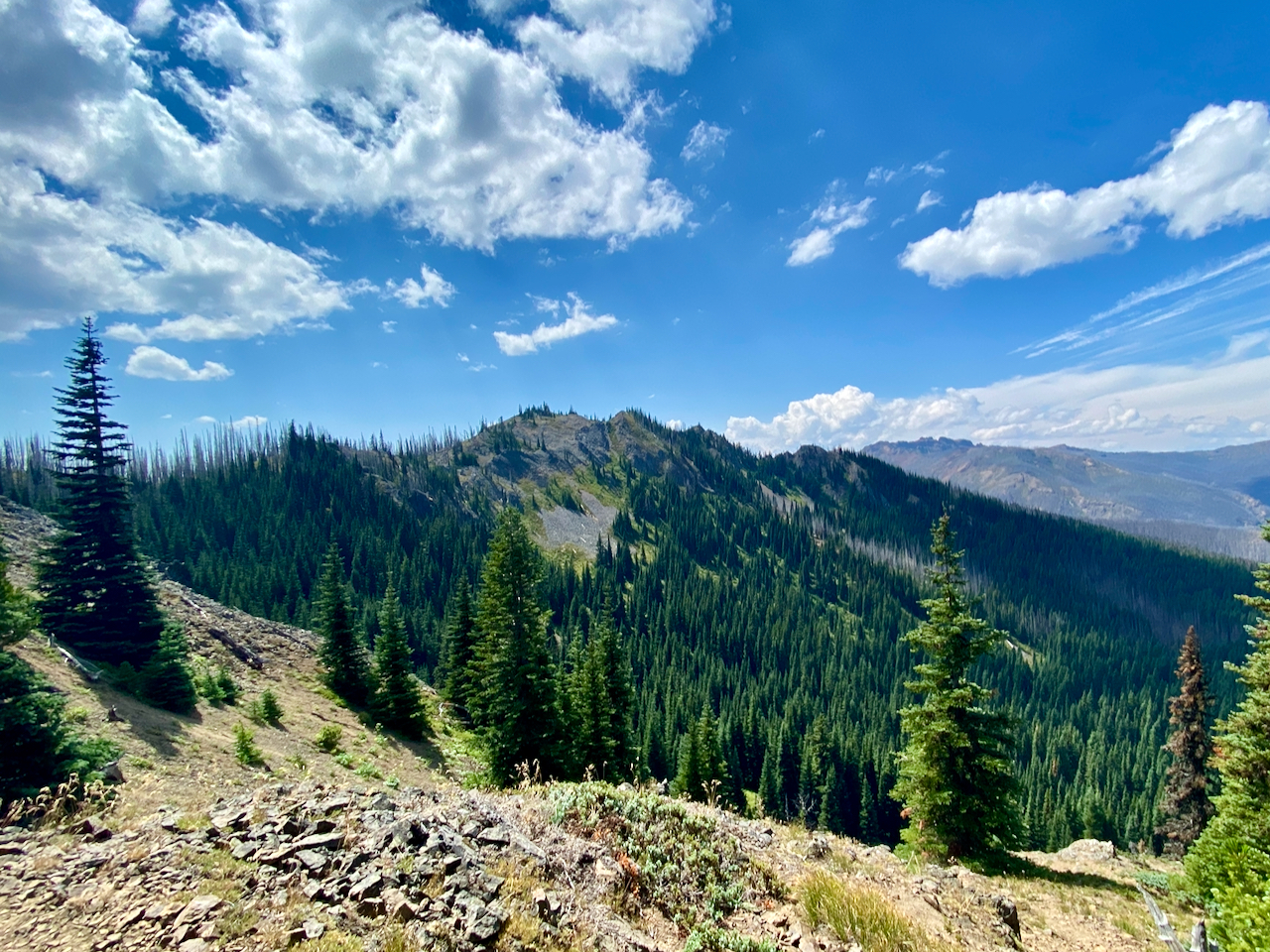
The next day, I had hoped to hike to the Raven’s Roost trail, and make a loop to Raven’s Roost and back to the high Big Crow Basin. After some miles of rolling PCT thru the 2017 Norse Peak Wilderness Fire scar, I arrive at the trail junction right at lunch time. Before breaking for food, tho, I explore the first bit of trail. I can see the Raven’s Roost trail had been cleared at some point a couple of years back, but it looked impassable with more recent downed timber making the trail all but impossible to find. I did not relish climbing thru that. Also, I had been able to see all yesterday evening and today that the entirety of the Crow Creek drainage had burned over, and I did not expect an easy passage back up along the Crow Creek Way Trail. I decided then and there it was time for Plan B – there’s always a Plan B.
After lunch, I continued a way along the PCT to Arch Rock. There is supposed to be a piped spring here. While I did find a meager little spring, with very little flow, I found no pipe. I stomped around a bit here, then turned back toward Big Crow Basin.
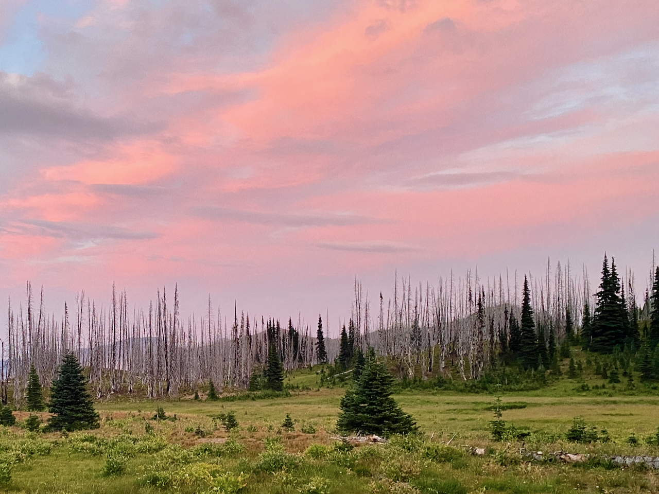
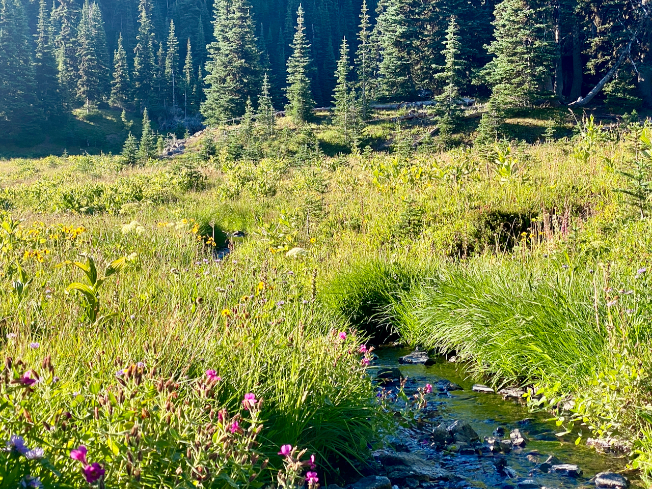
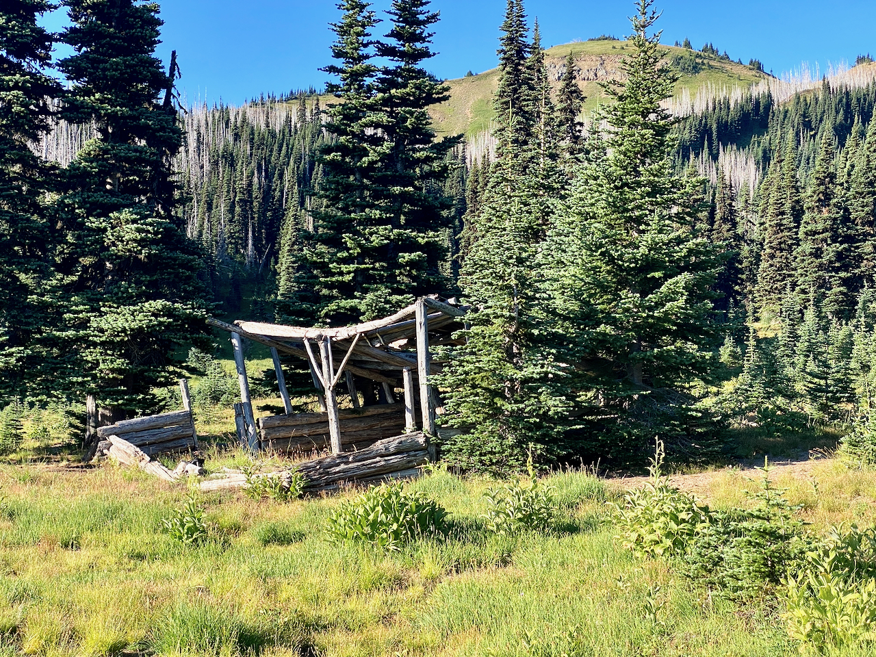
I wasn’t happy with my campsite options along the PCT once I got back to Big Crow Basin, so I wandered down the Crow Creek Way Trail to the old shelter. It’s decrepit now, not much of a shelter at all. A ring of older trees provided a nice campsite right alongside it tho, withthe headwaters of Crow Creek just a few feet away. I was entertained by a colorful sunset before hitting the sack for the night.
Morning dawned colorful, and damp. I didn’t spend too long lingering, tho, and once coffee and breakfast were done, I packed things up and got back on the trail, heading back up to the PCT, and setting out for Norse Peak, the trail for which takes off right near that nice spring. Making a lovely grand arc up the basin walls, it wasn’t long before I had reached the top of the ridge. Another party was a few minutes ahead of me. To give them space, I tarried up here and explored along the ridgeline here and there. Eager to get along, tho, I continued up the last stretch toward the peak – where I was buzzed by their drone.
They had the good grace to pack that away once I reached the top, and we visited for a short bit before they headed down. One of them, a young fellow, makes regular visits to Basin Lake and the Norse Peak summit. He shared his observations of how the area is recovering from the burn. Neither of us saw much in the way of seedlings at elevation.
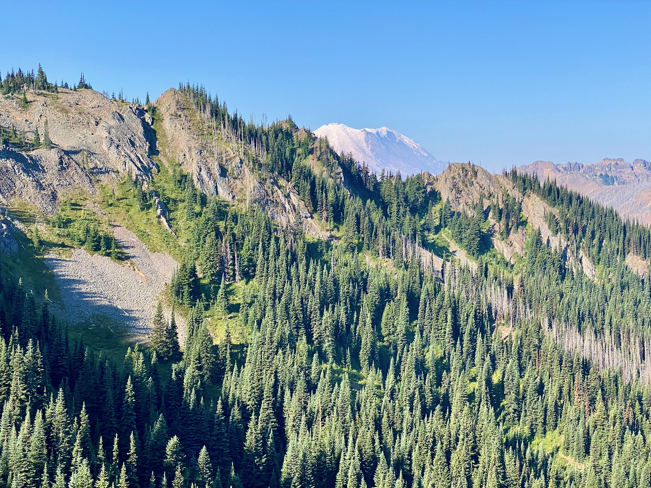
I enjoyed my lunch of trail mix after they left, lingered in the warm sun for a while shooting pics, then headed down. The trail joins back up with the PCT at Scout Pass by way of a ridgeline-hugging route, in pretty good shape all in all. From here I retraced my steps back to the Fog City trail, then took another break. The cool temps and damp wind led me to move on quickly, tho. I chose to continue on to Bear Gap via Pickhandle Point, where i thought I might take a break. It was too cold, tho, and I wasn’t sitting still for more than 2 minutes before I started to get a chill. So I continued down to my truck along the Bear Gap Trail, arriving back to my truck at exactly 5:00 PM.
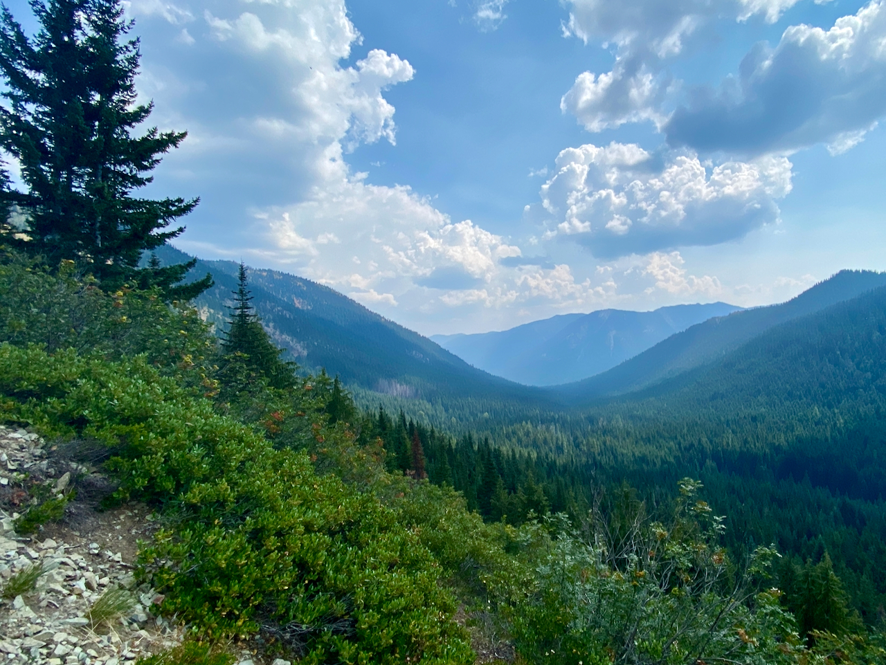
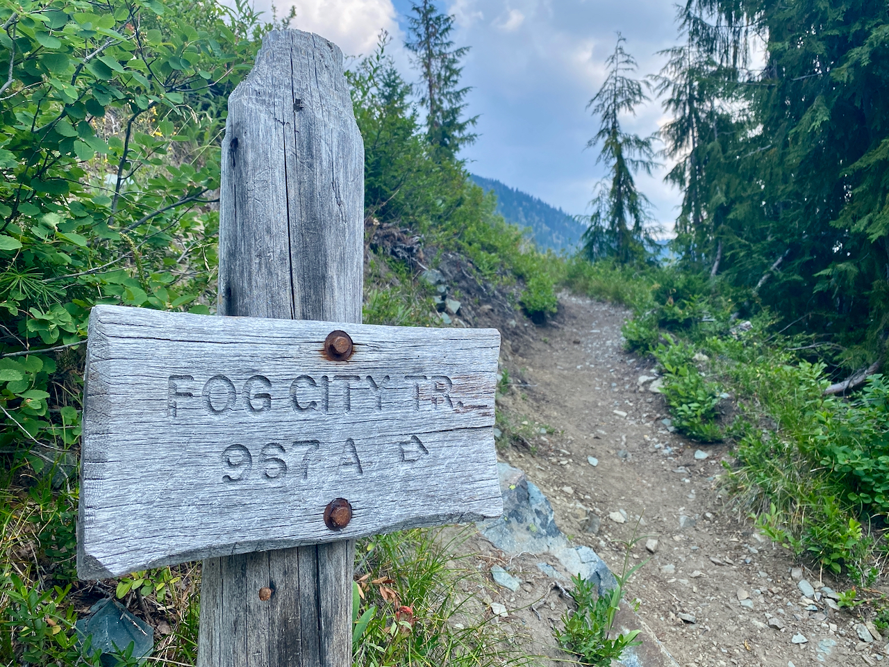
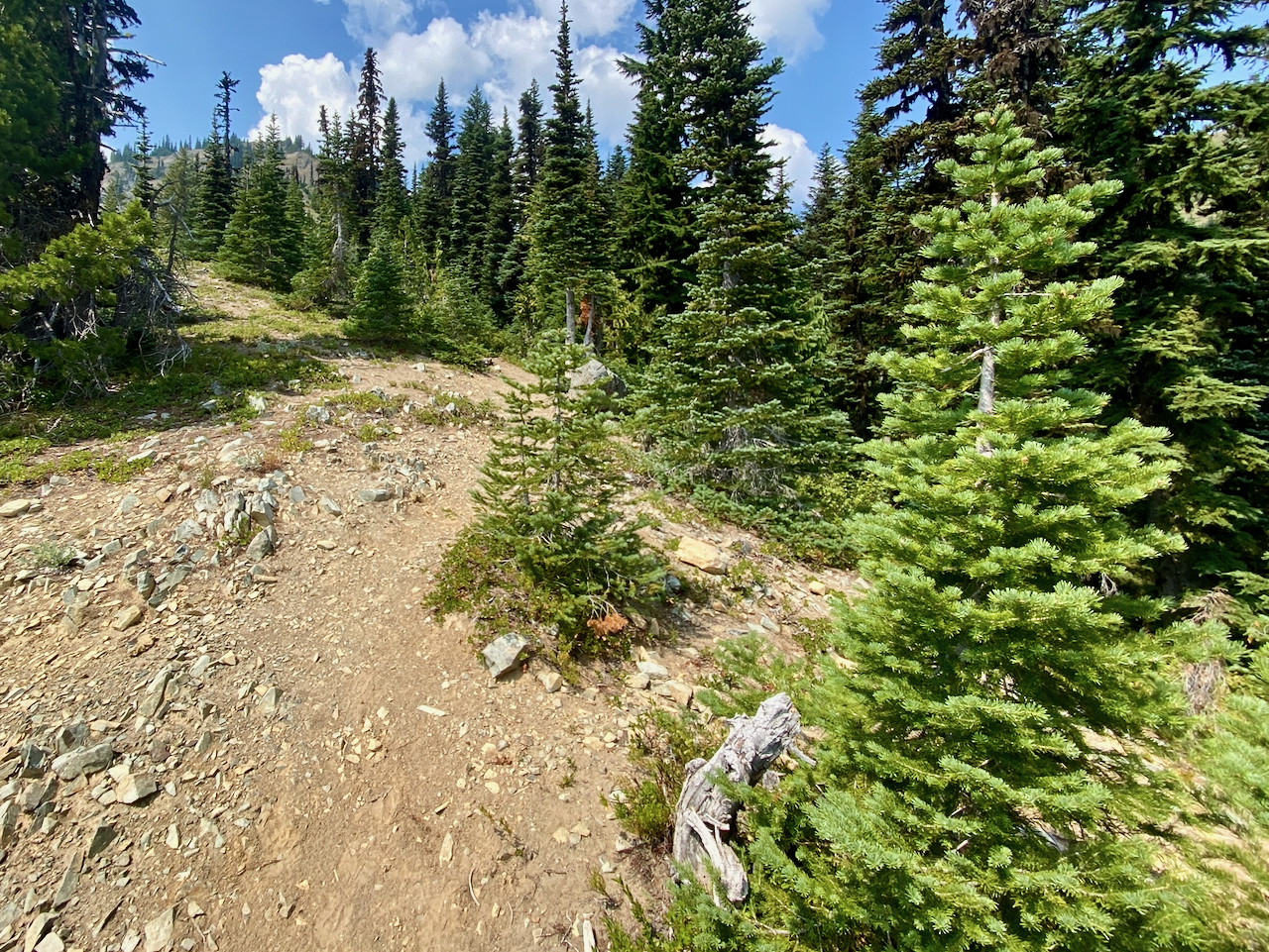
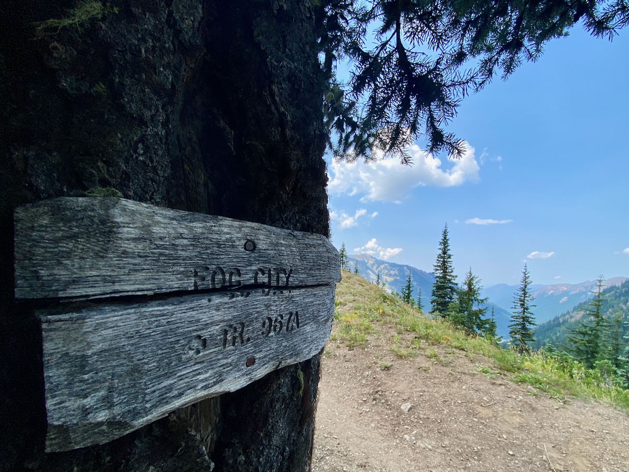
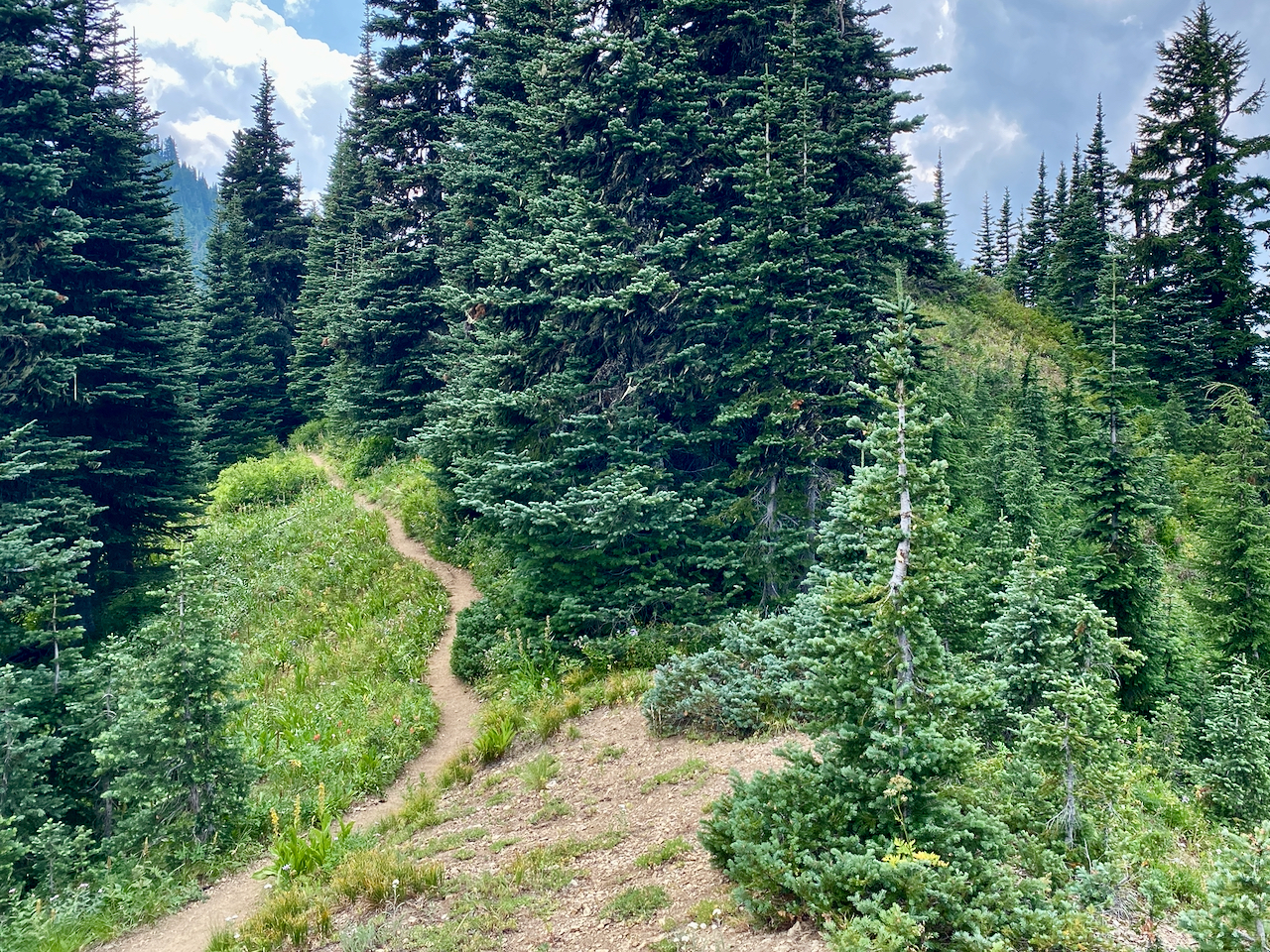
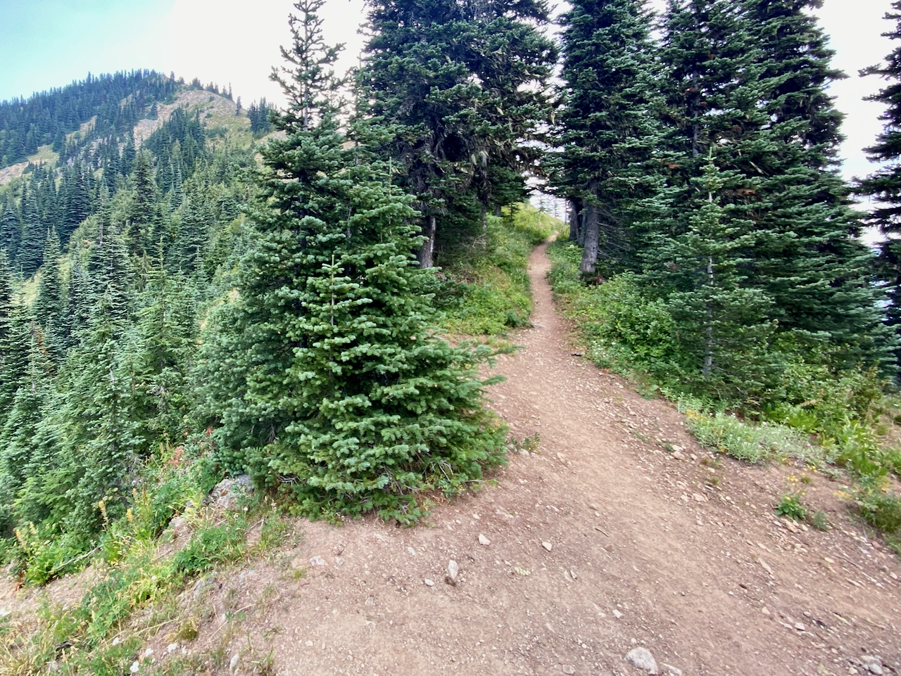
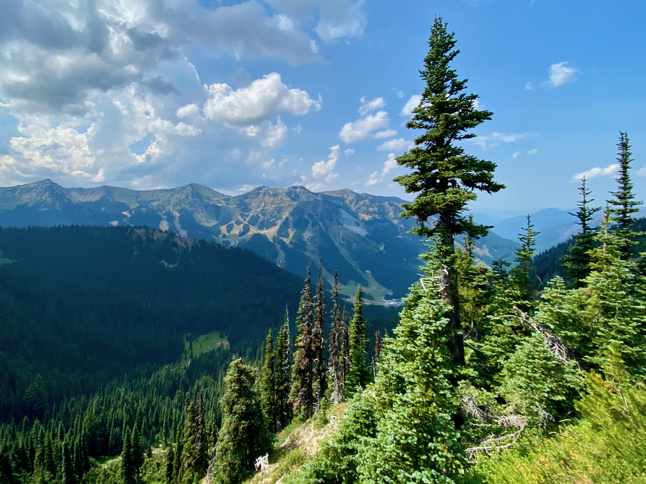
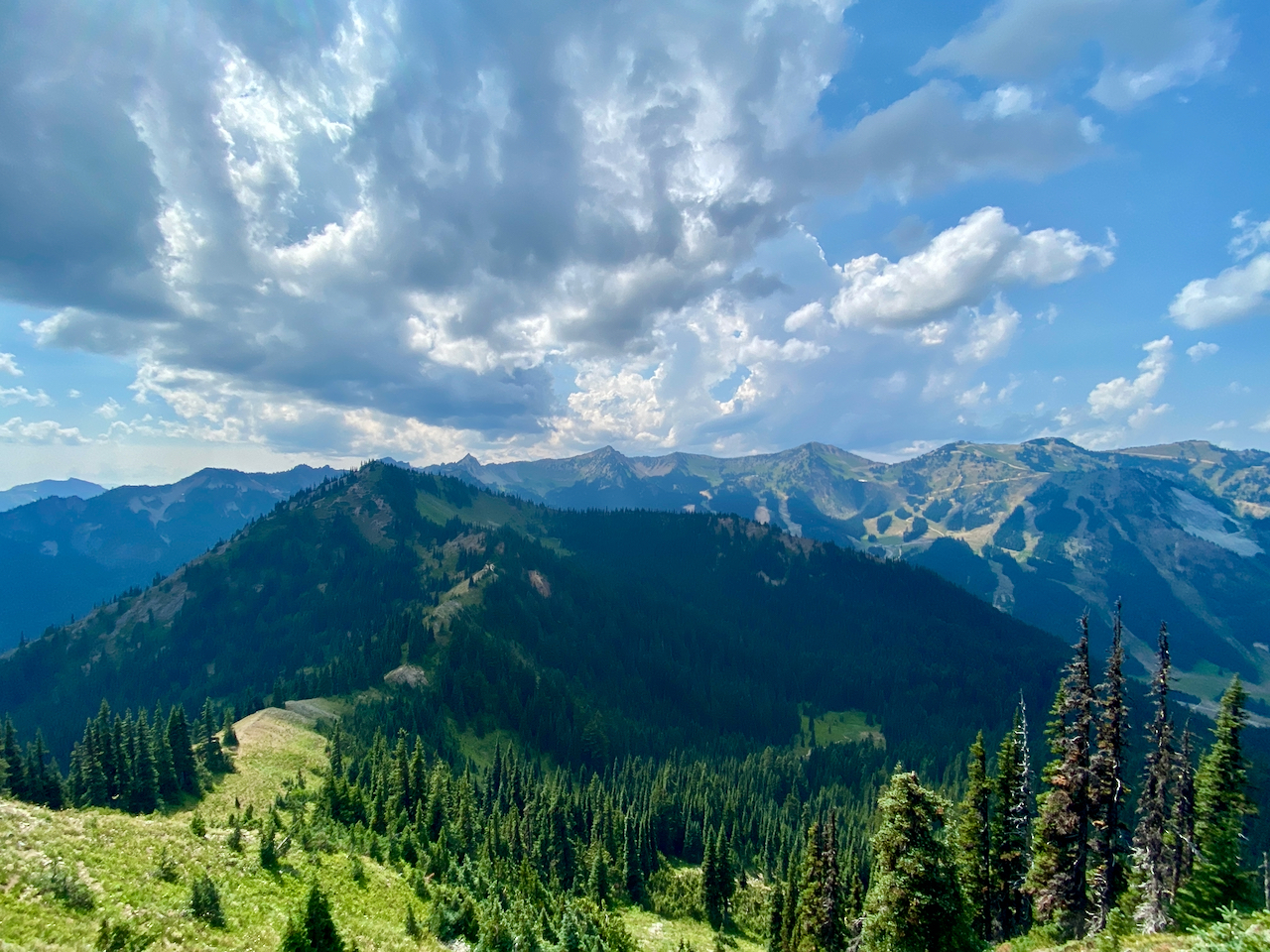
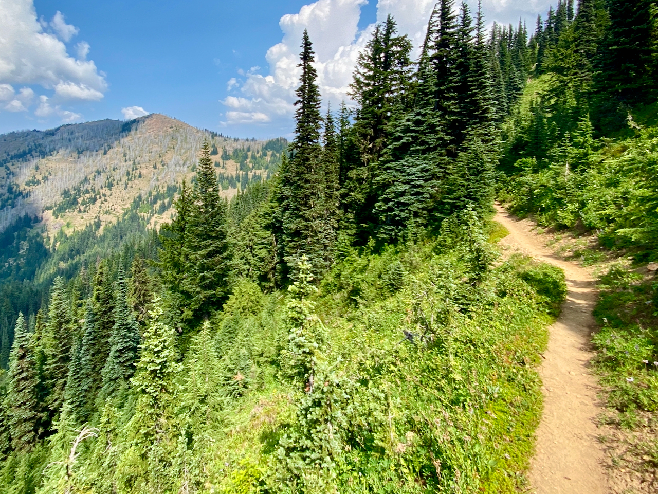
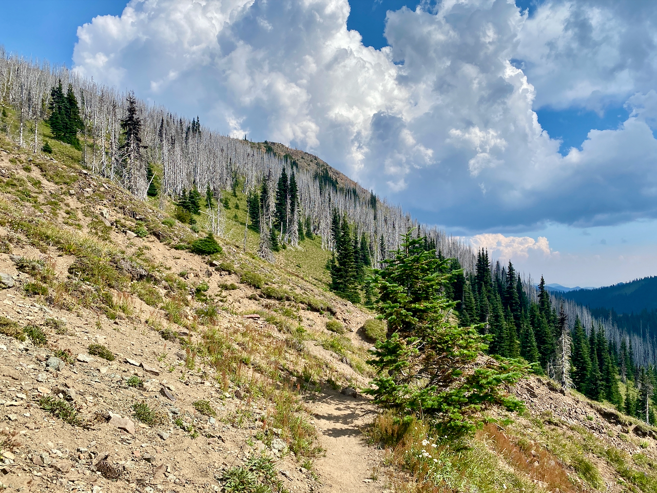
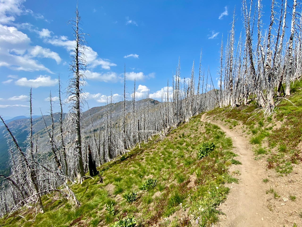
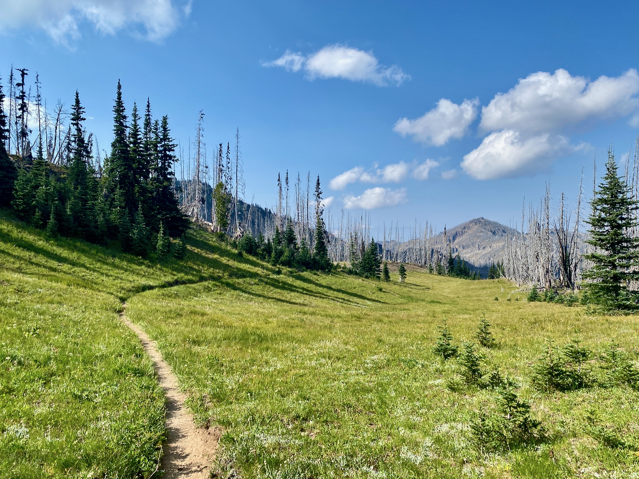
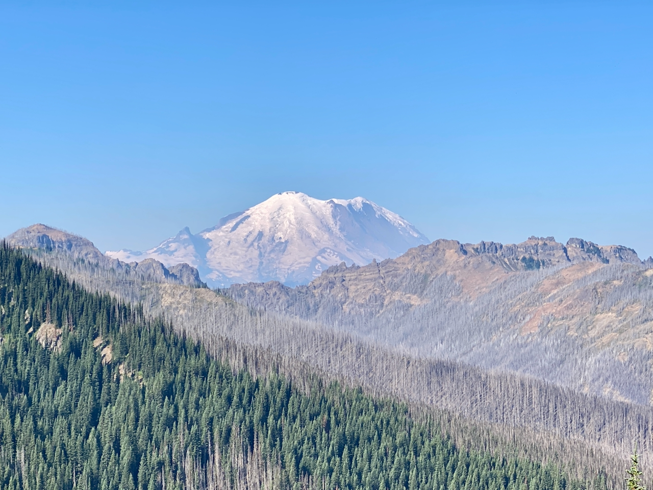
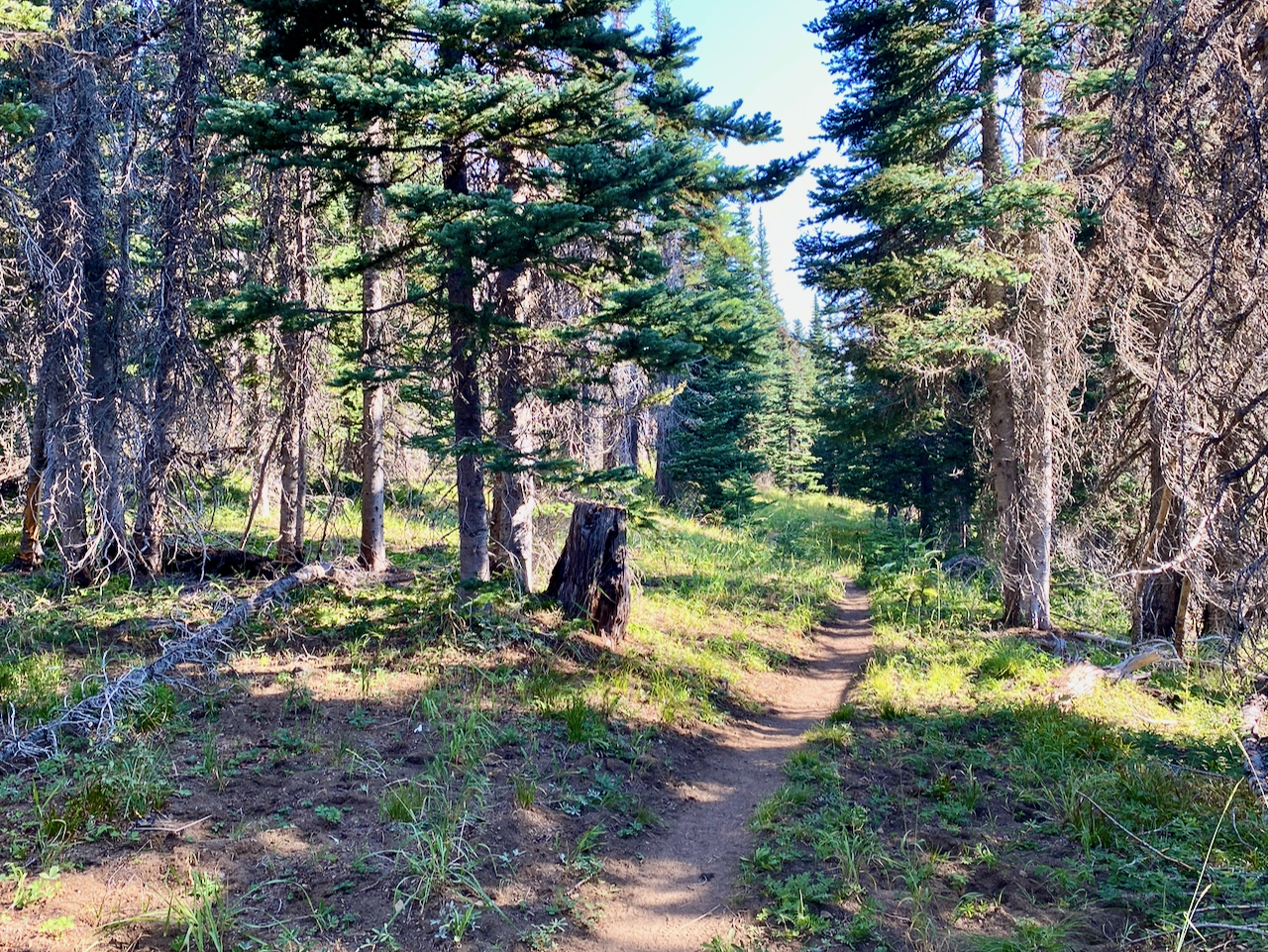
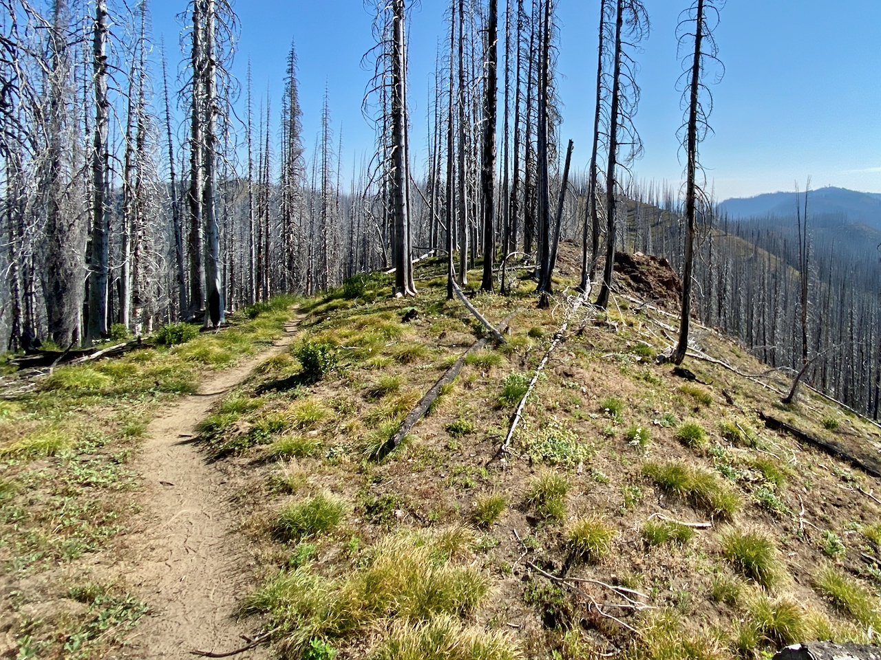
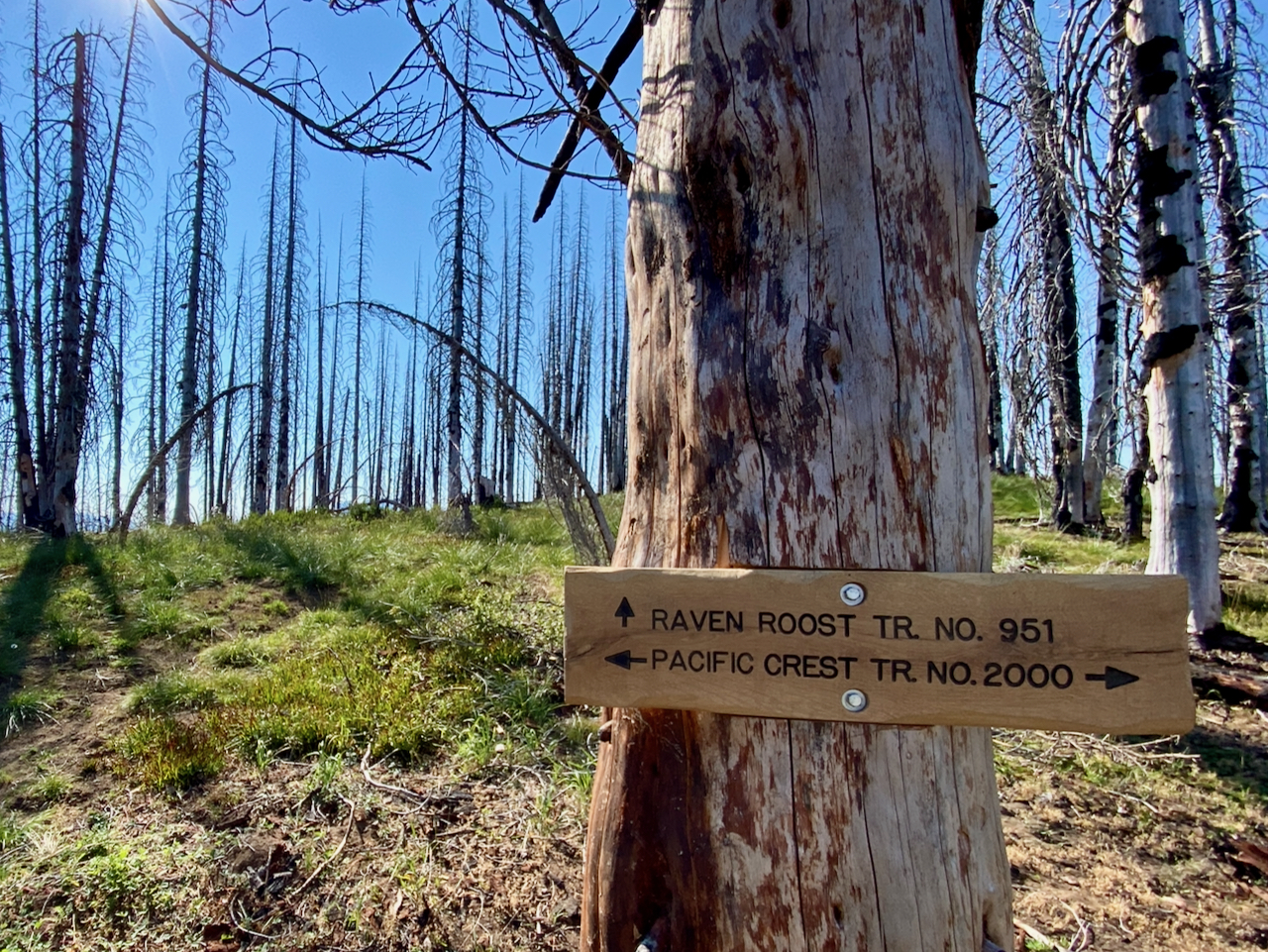
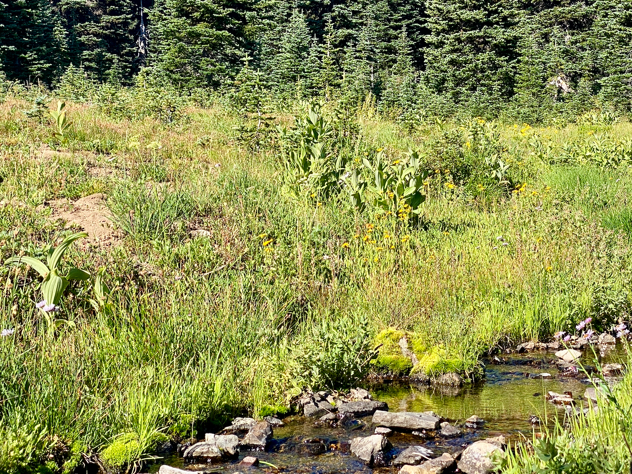
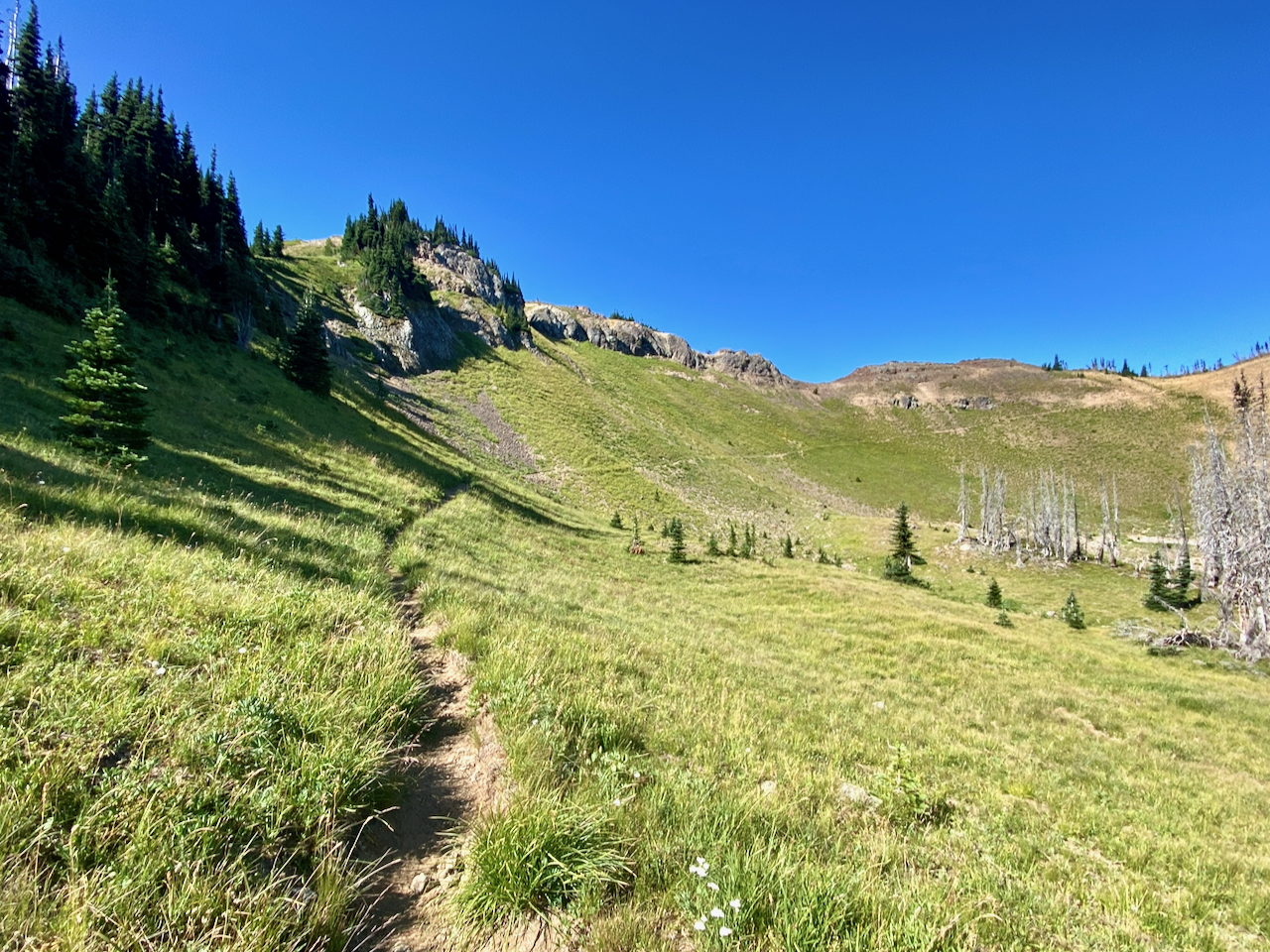
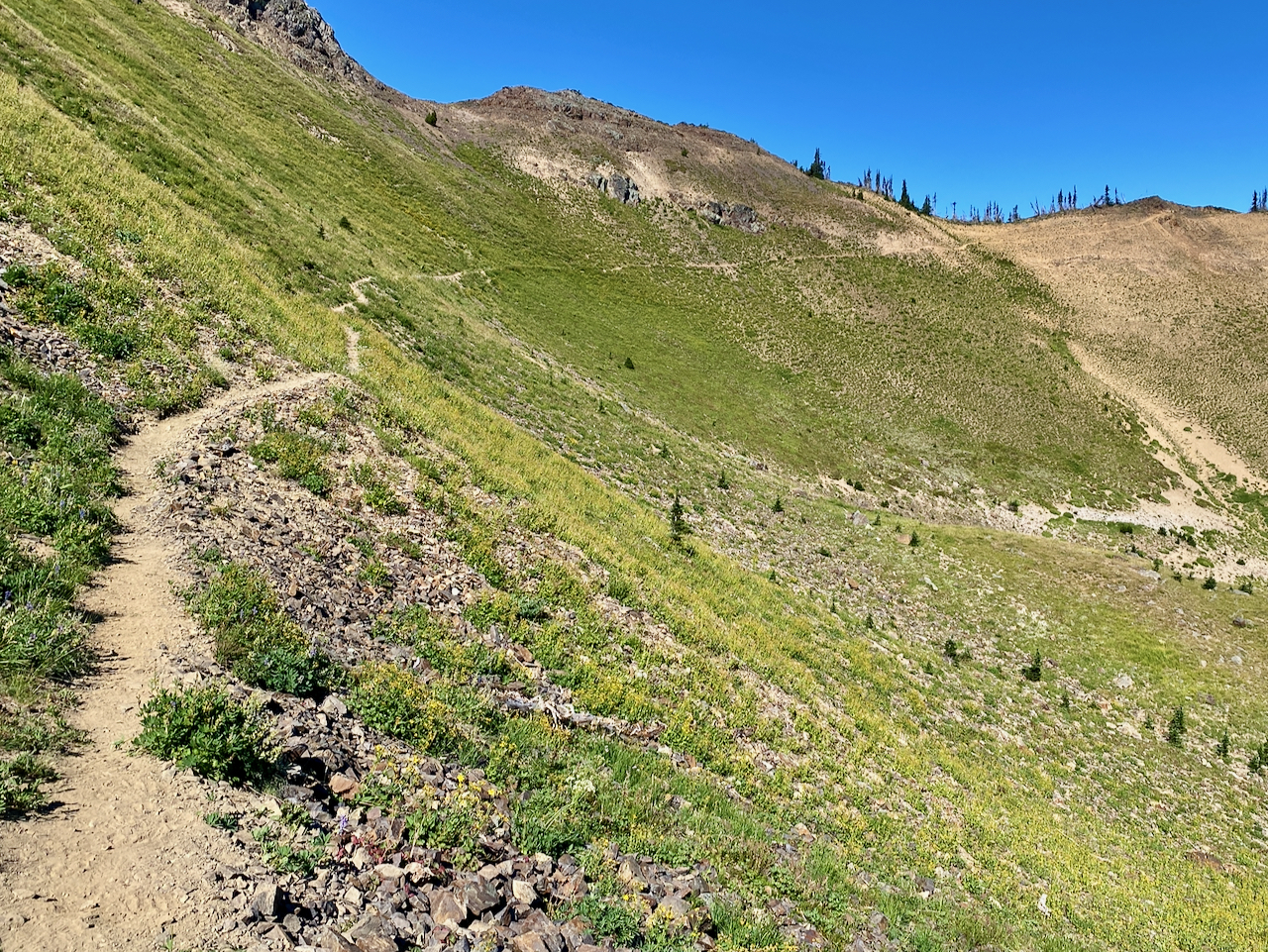
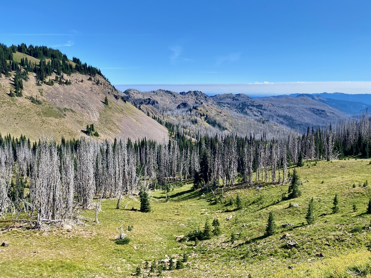
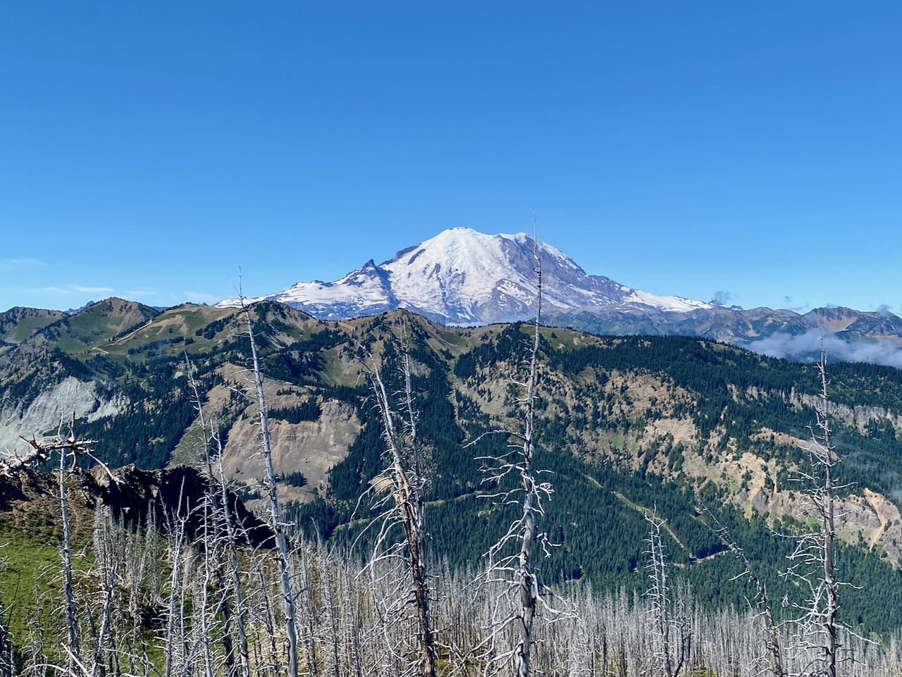
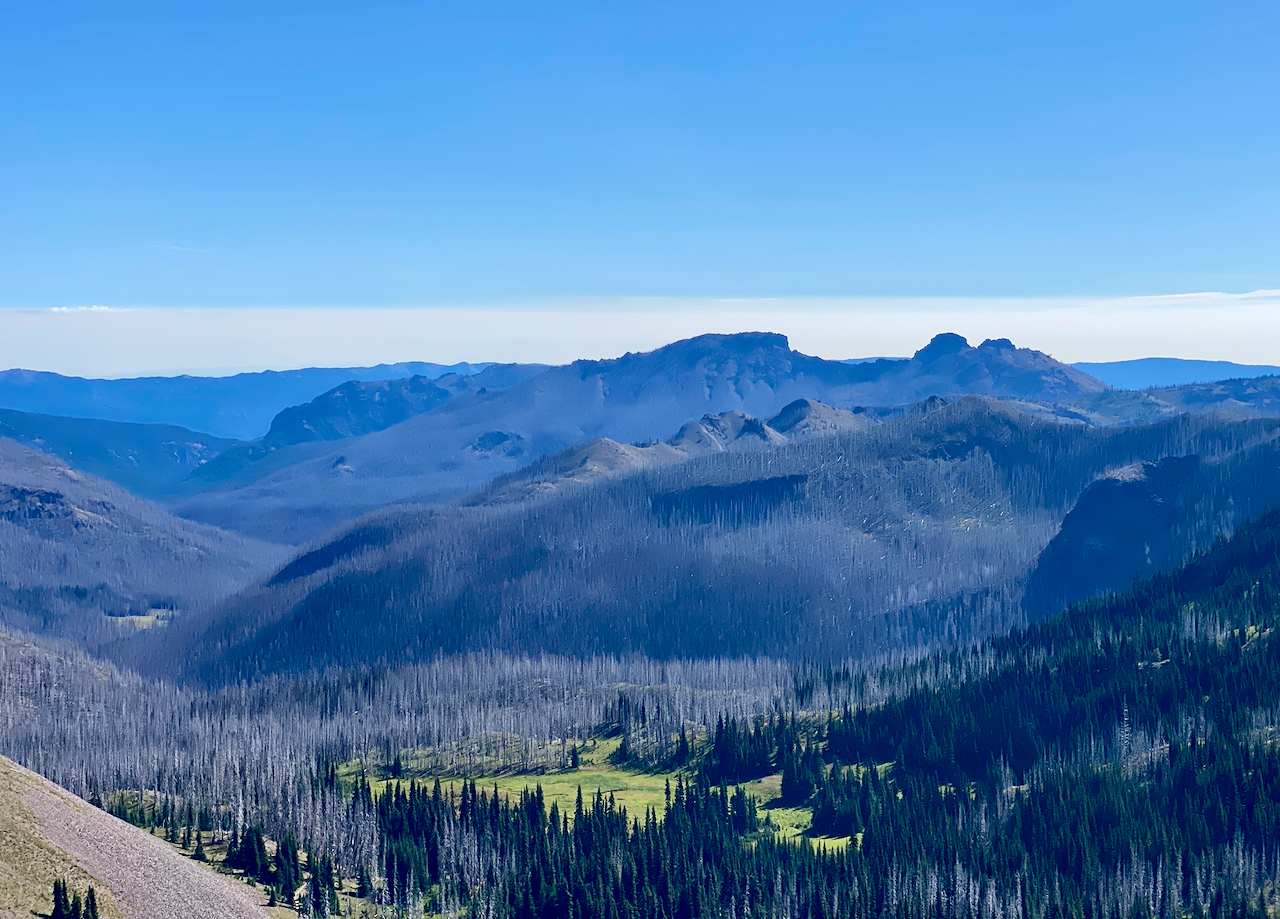
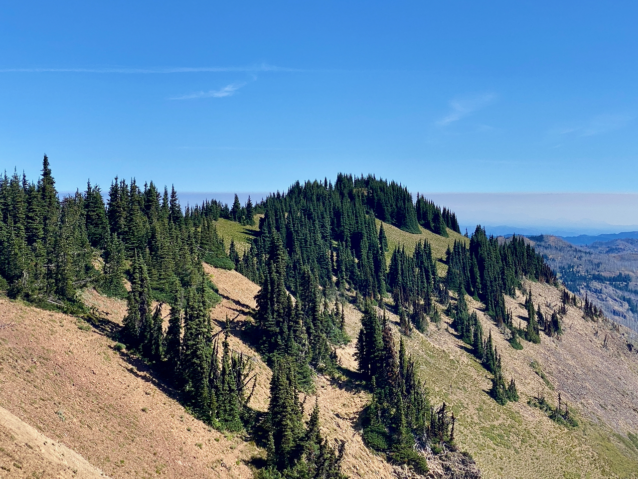
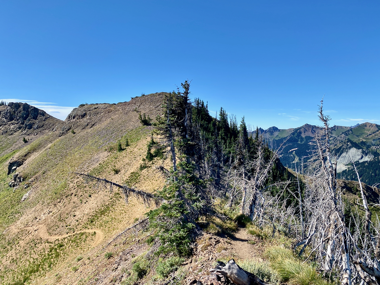
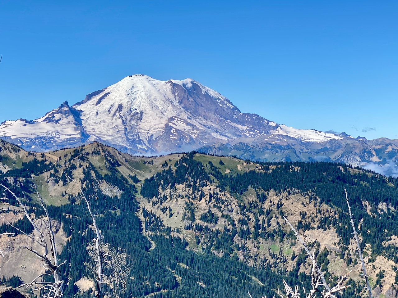
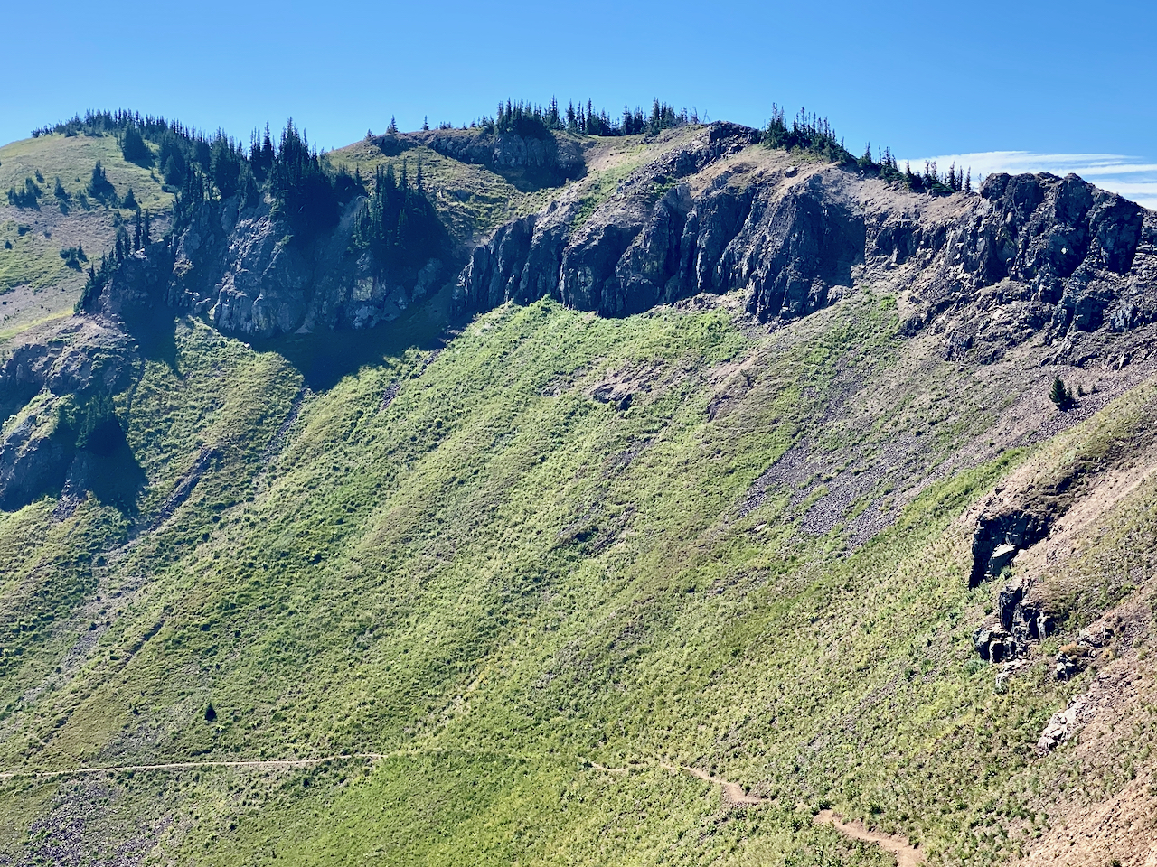
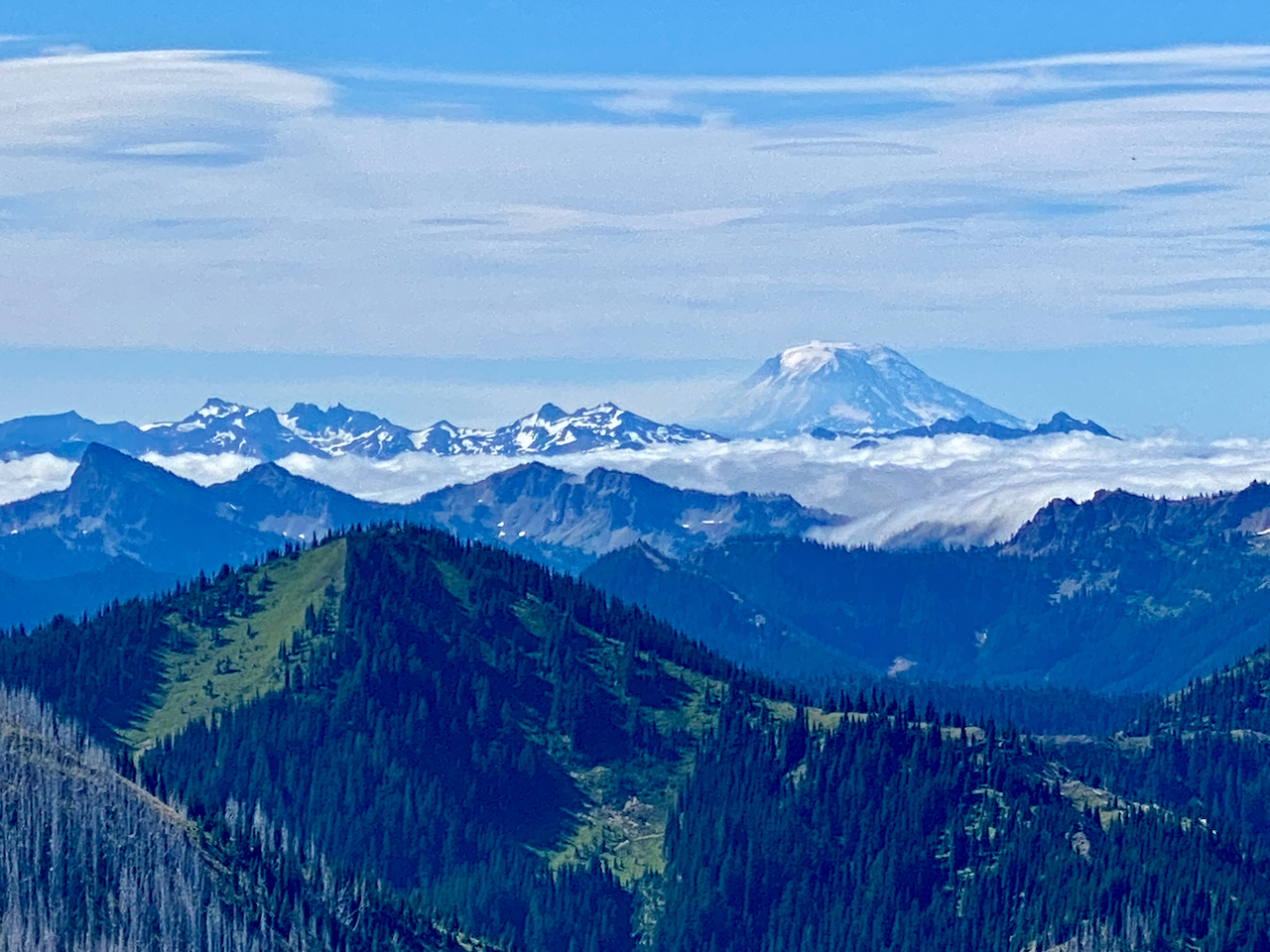
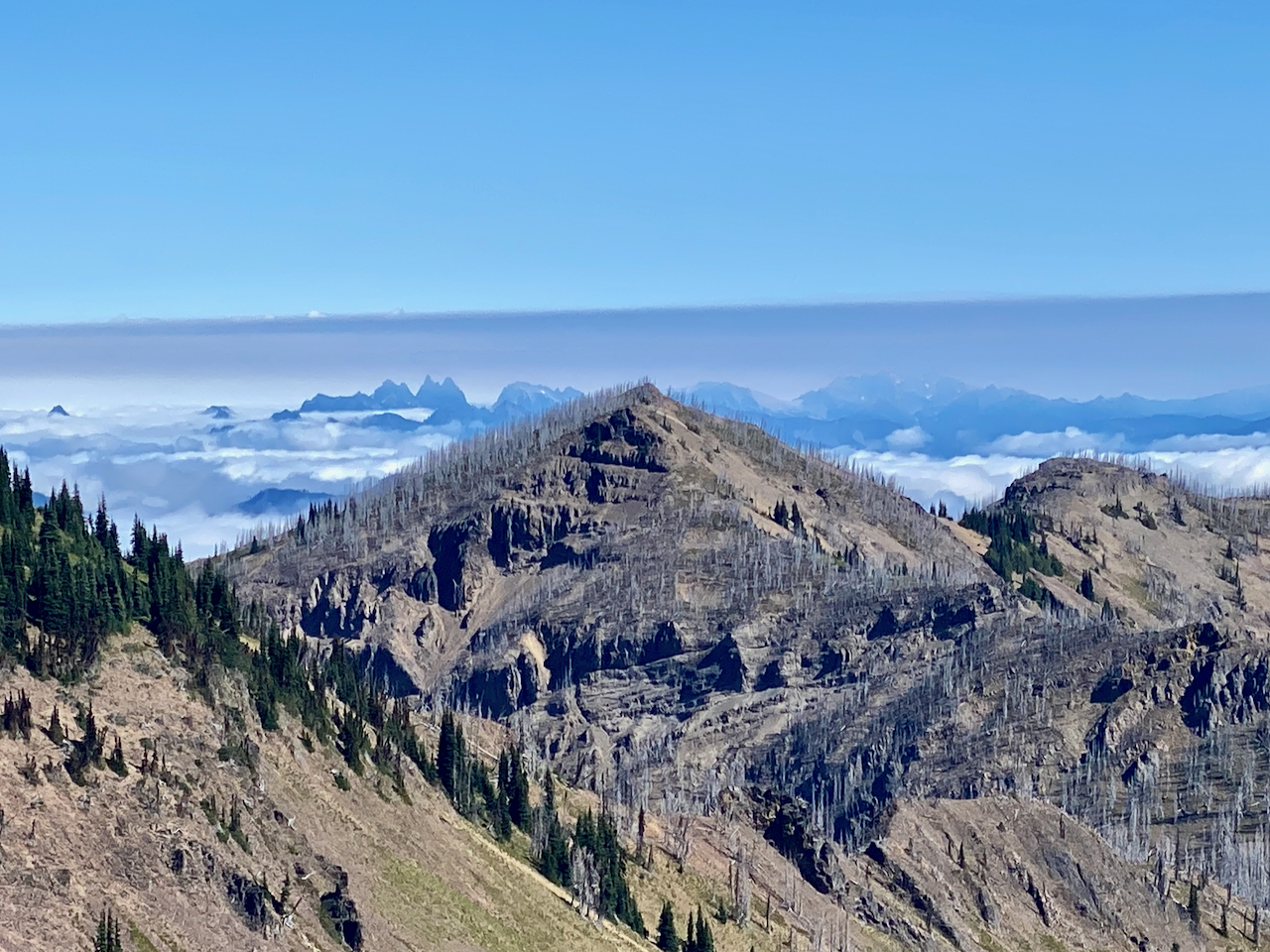
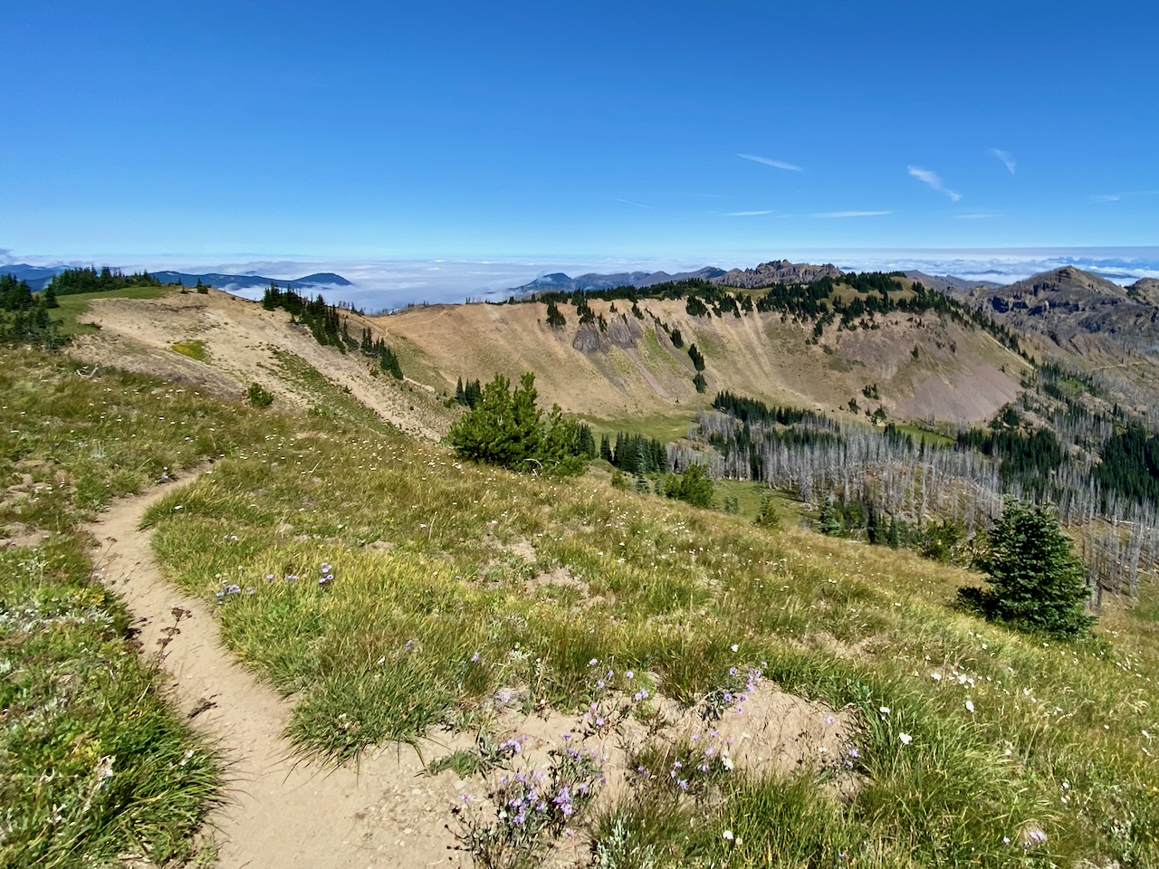
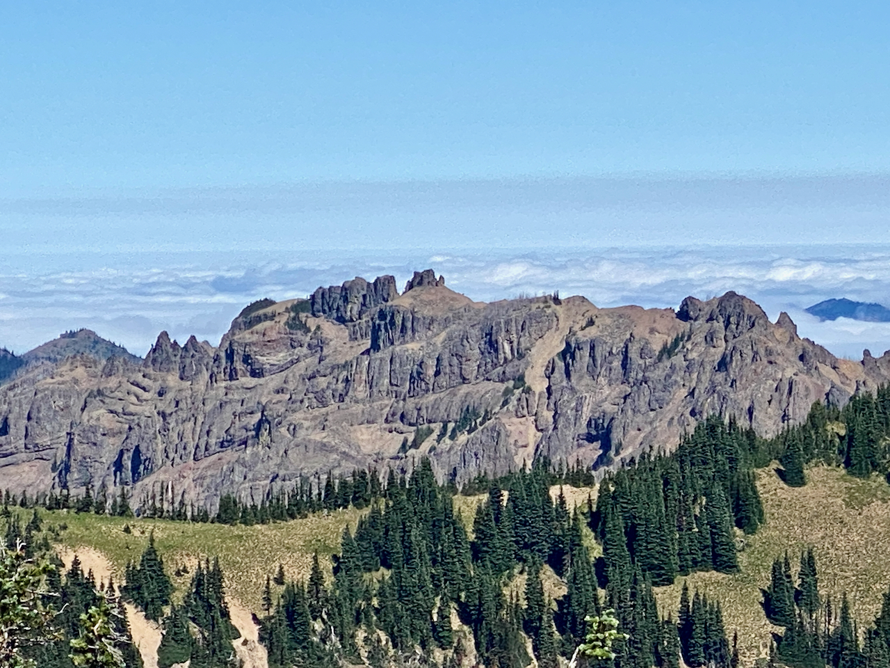
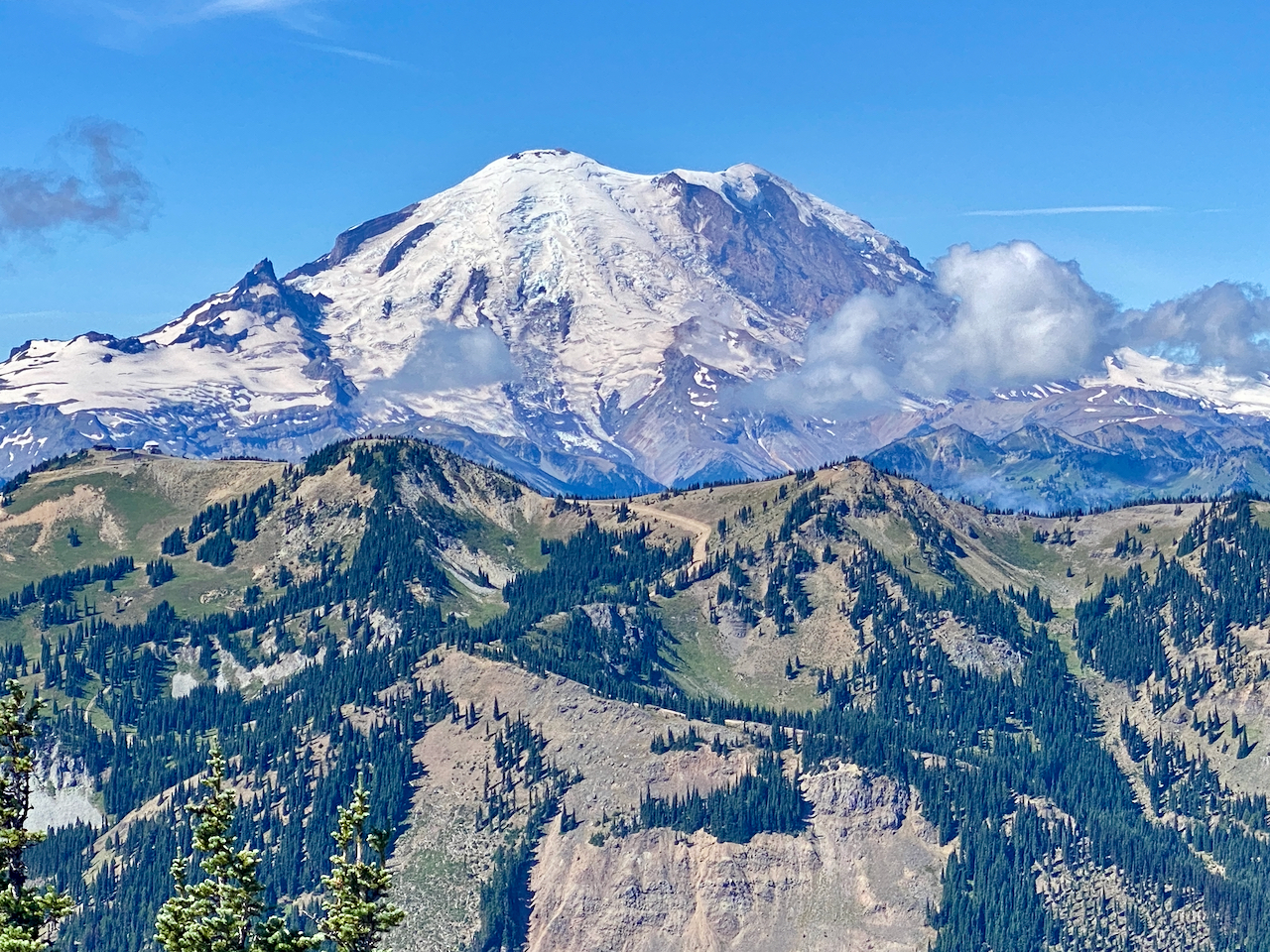
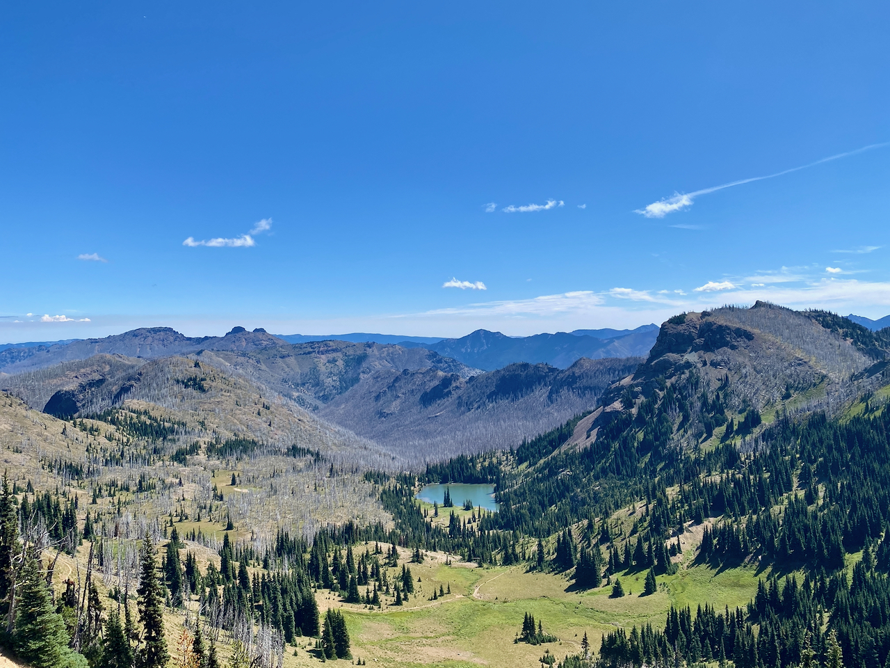
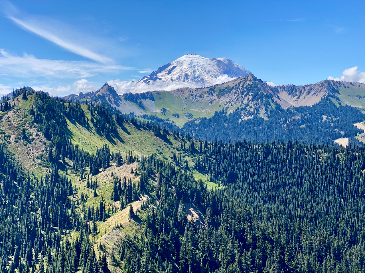
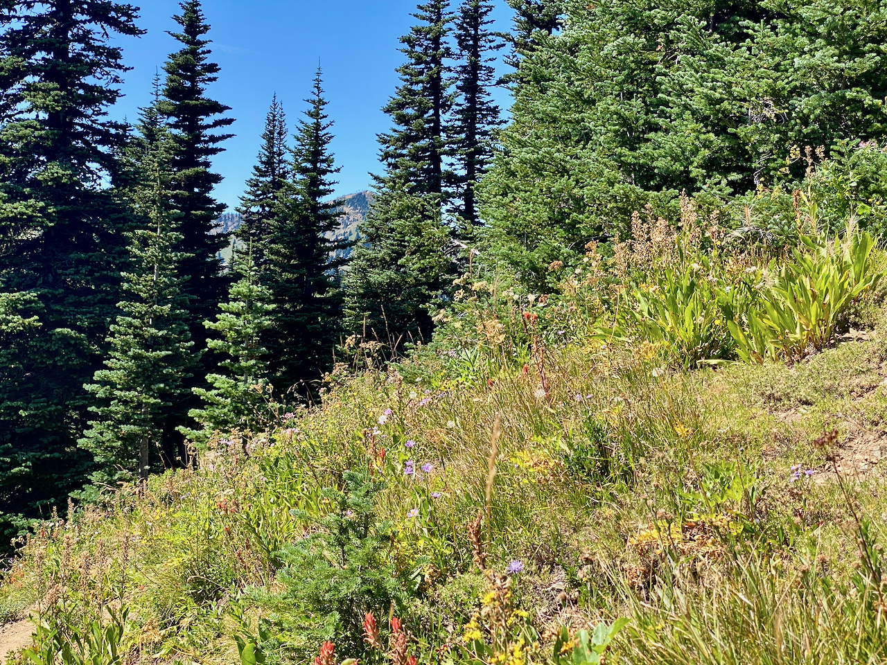
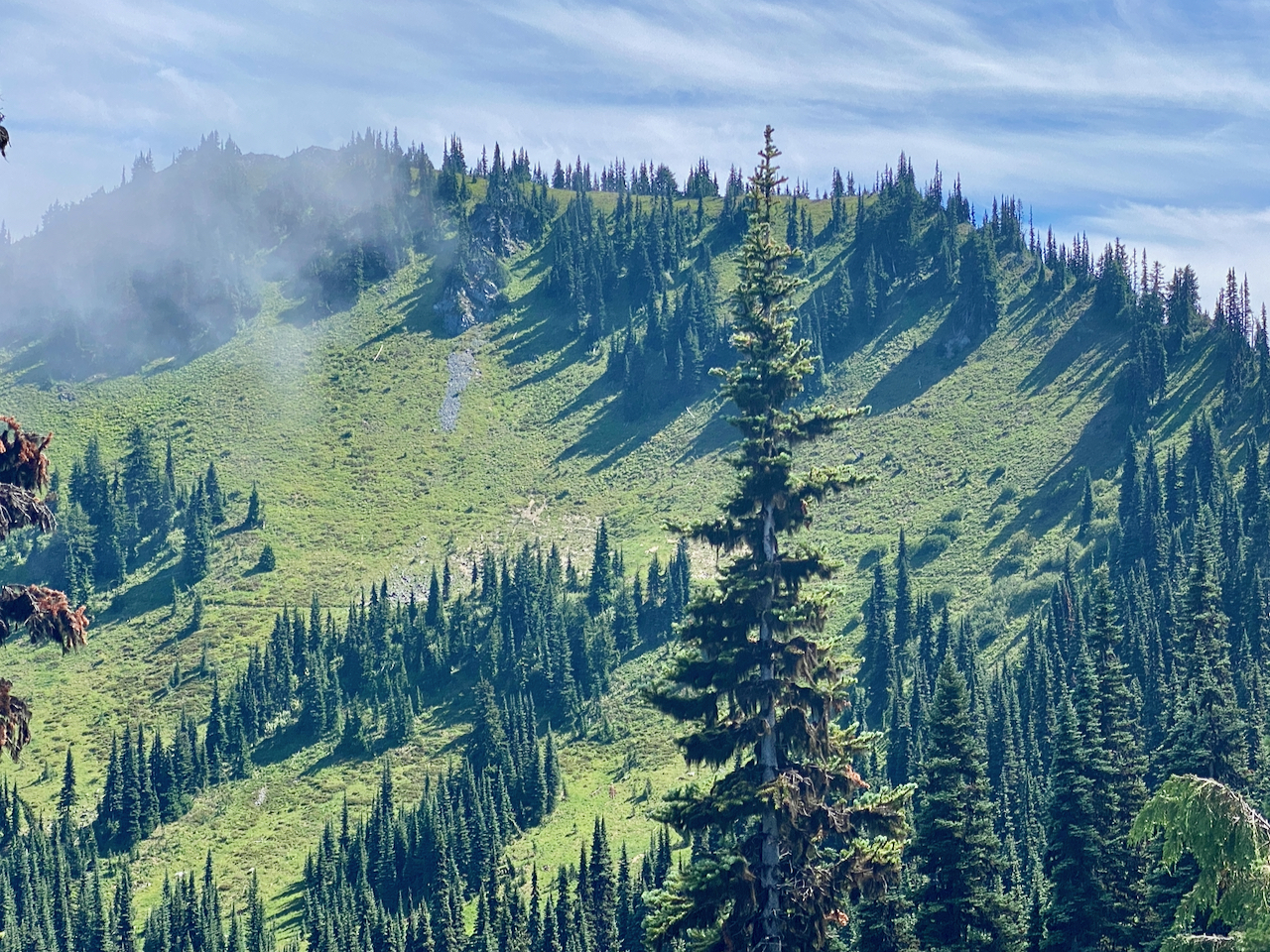
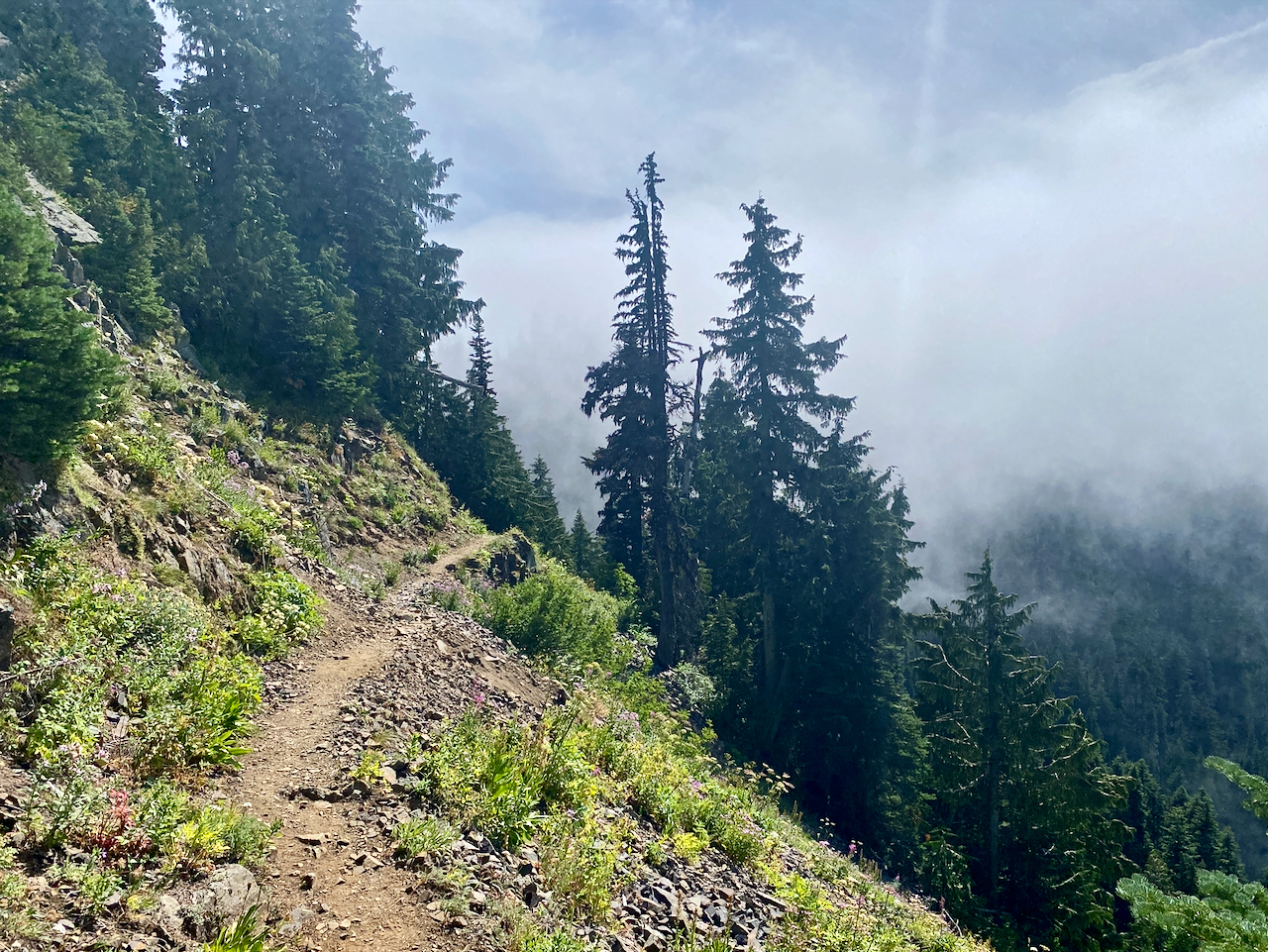
Images taken August 10-12 along the Pacific Crest Trail, MBSNF
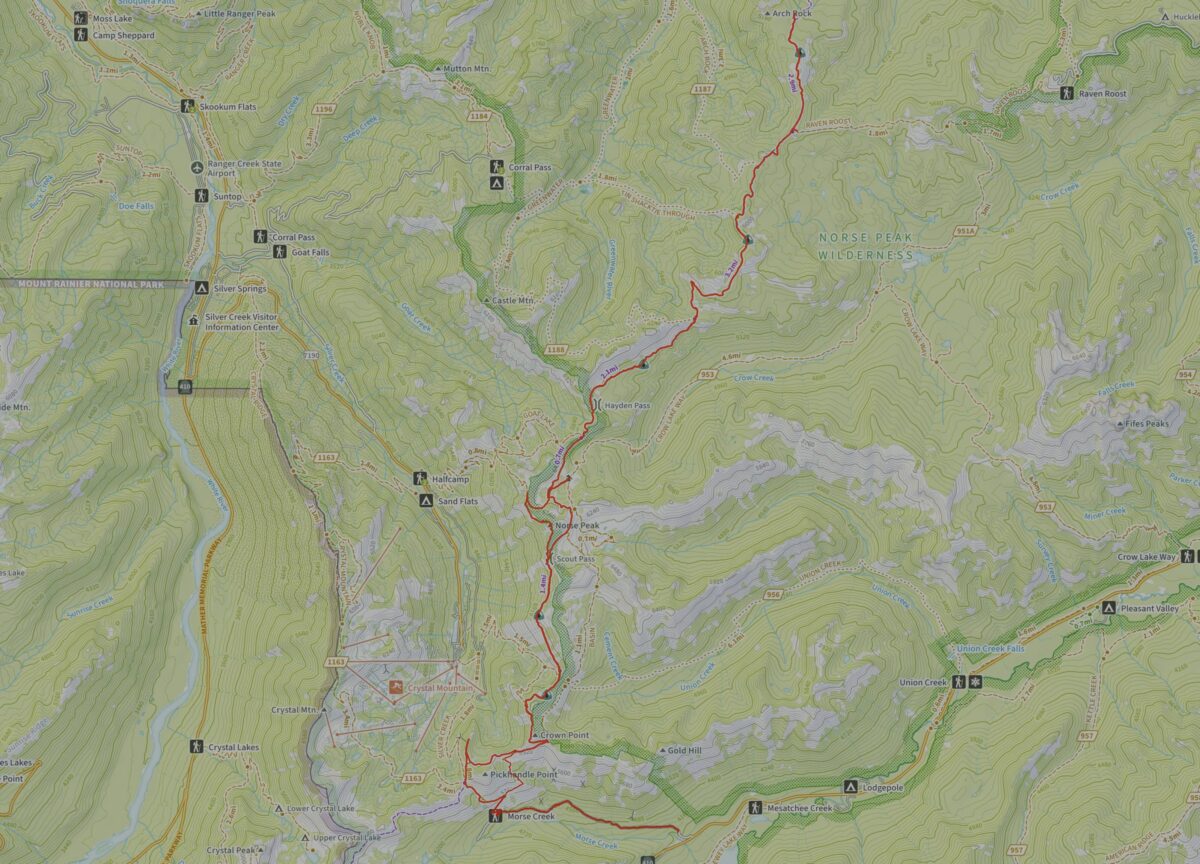
34.29 miles hiked w/ 6,654′ elev. gain.
Leave a Reply