More William O. Douglas Trail, but this time, with a pack. And in the desert!
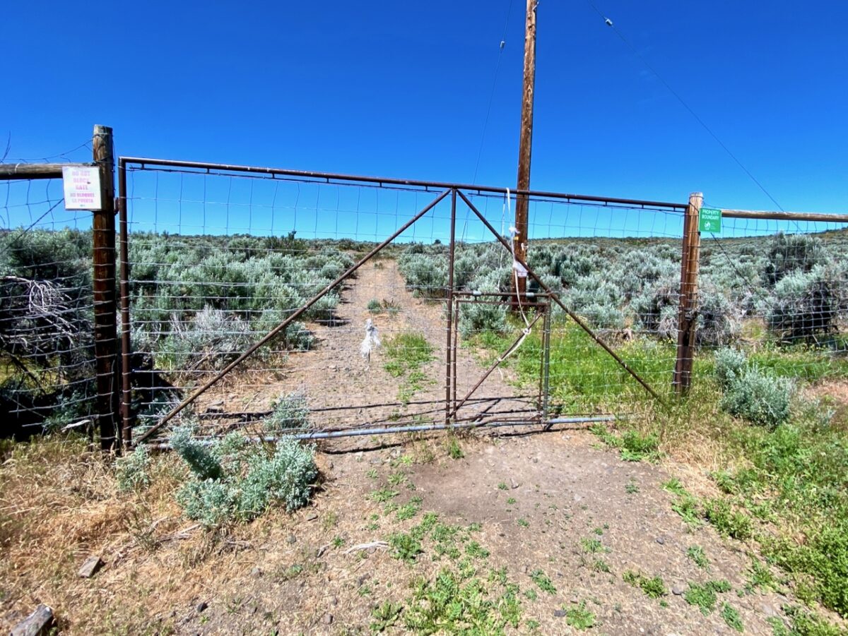
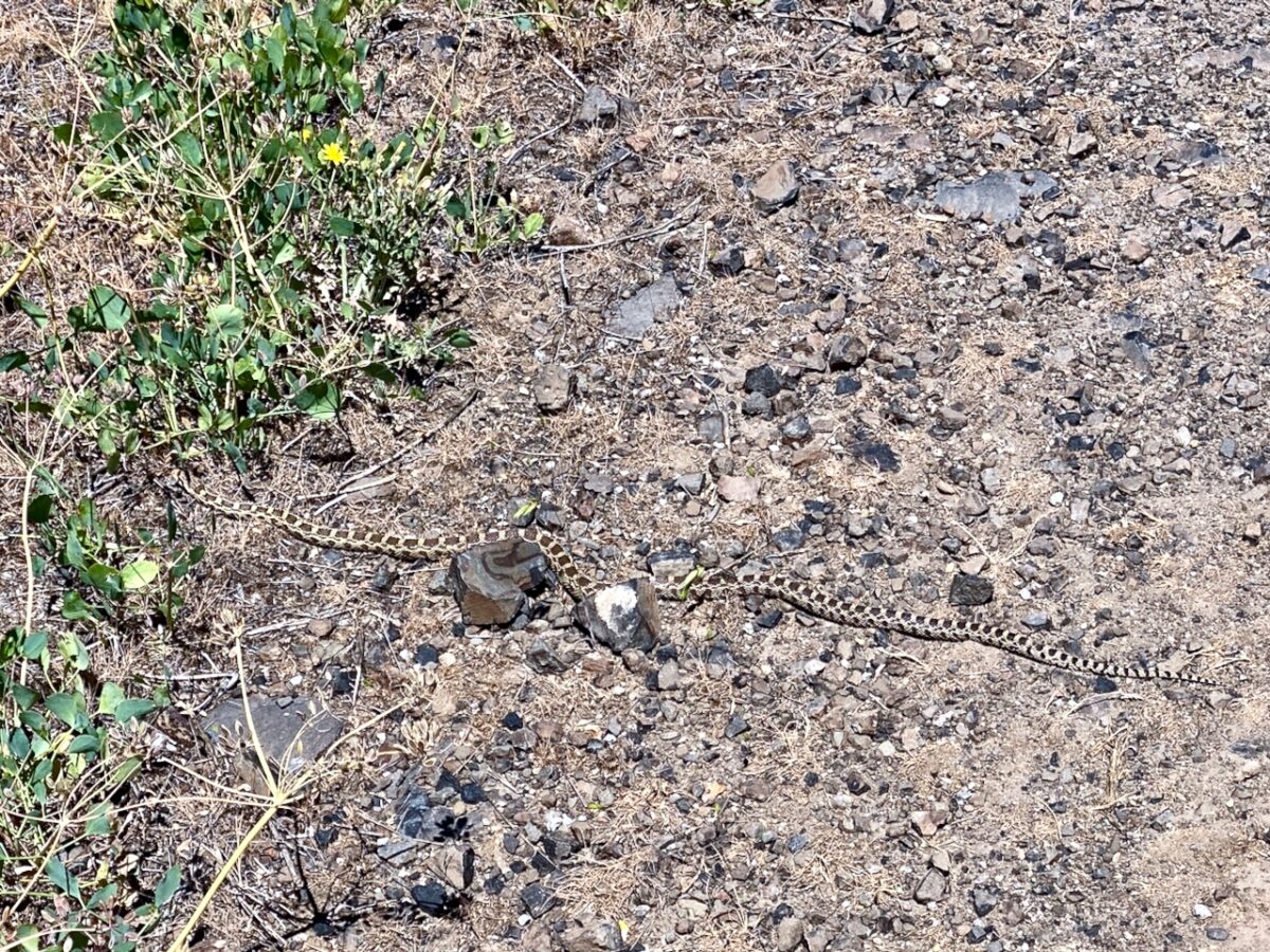
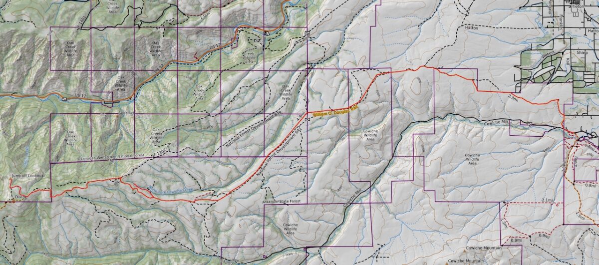
I made my way to Naches, where I turned off the highway and drove along county roads toward the Snow Mountain Ranch. The ranch is now under conservancy, and the Cowiche Conservancy has an established parking lot off the Cowiche Mill Rd. I had thought to park there, but overnight parking was not allowed. Instead, I drove short distance further and parked alongside the road once I entered state lands. Once I had my boots on and had donned my pack, I headed north up Sunset Rd, following the William O. Douglas trail to the gated fence at the bend in the road. Here the trail leaves the roadway and follows old track through state lands, working uphill toward the top of the ridge. Immediately upon stepping through the gate, I encountered a snake sunning in the trail. I tried to let him know I was there, but he didn’t care. I ended up stepping around him. He never budged.
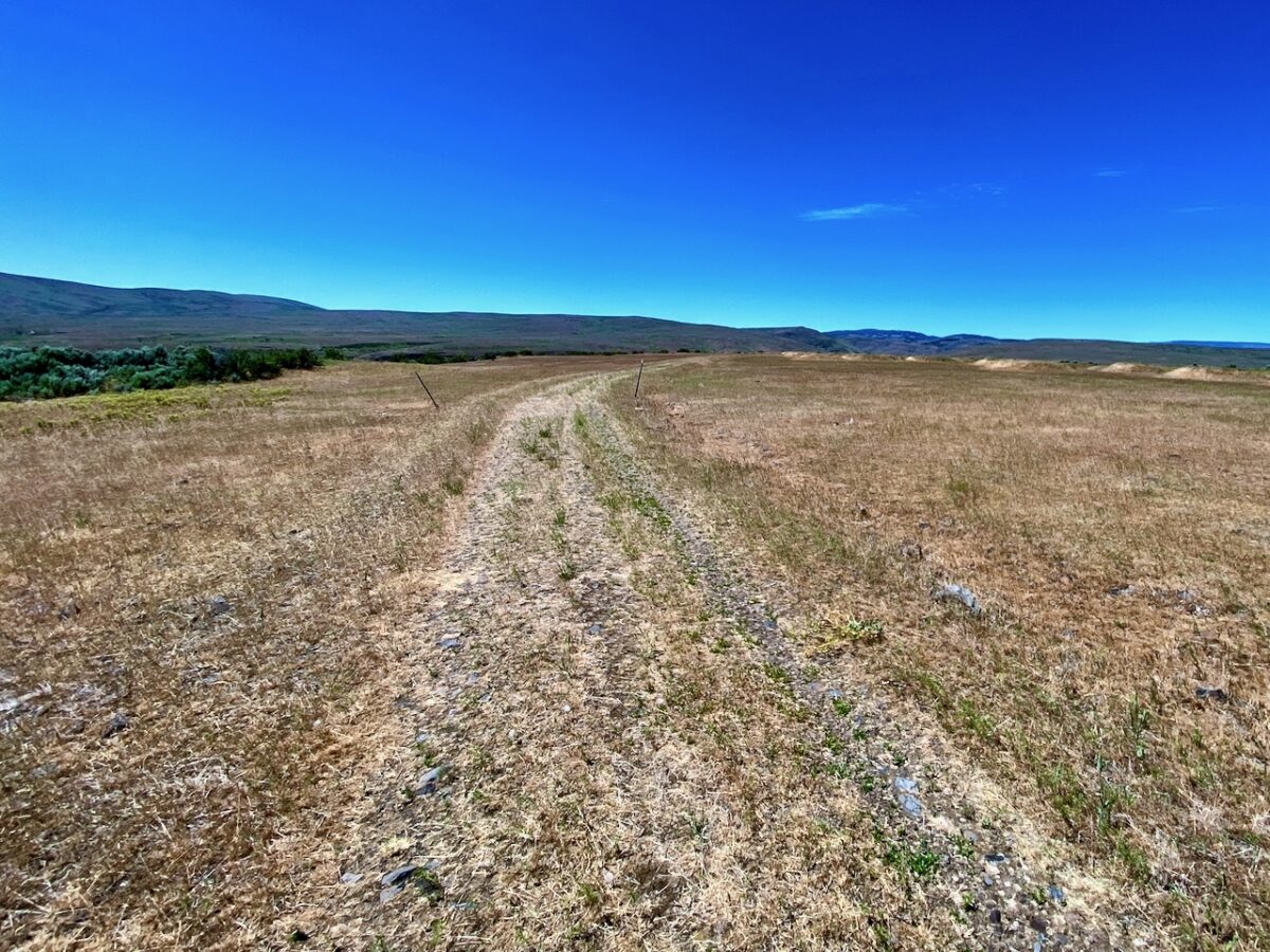
At the ridge top, I was surprised to find an area of mounds, very reminiscent of the Mima Mounds, stretching across the ridgeline for some distance. After a while, the trail approaches and follows the fence line for a distance. In one place, as the trail approached the boundary of the state lands, the map shows the trail continuing through the fence and following roadway. That fence was gated and locked, but the trail obviously continued following the fence. I came out to the roadway and found myself back on the mapped trail after a short distance.
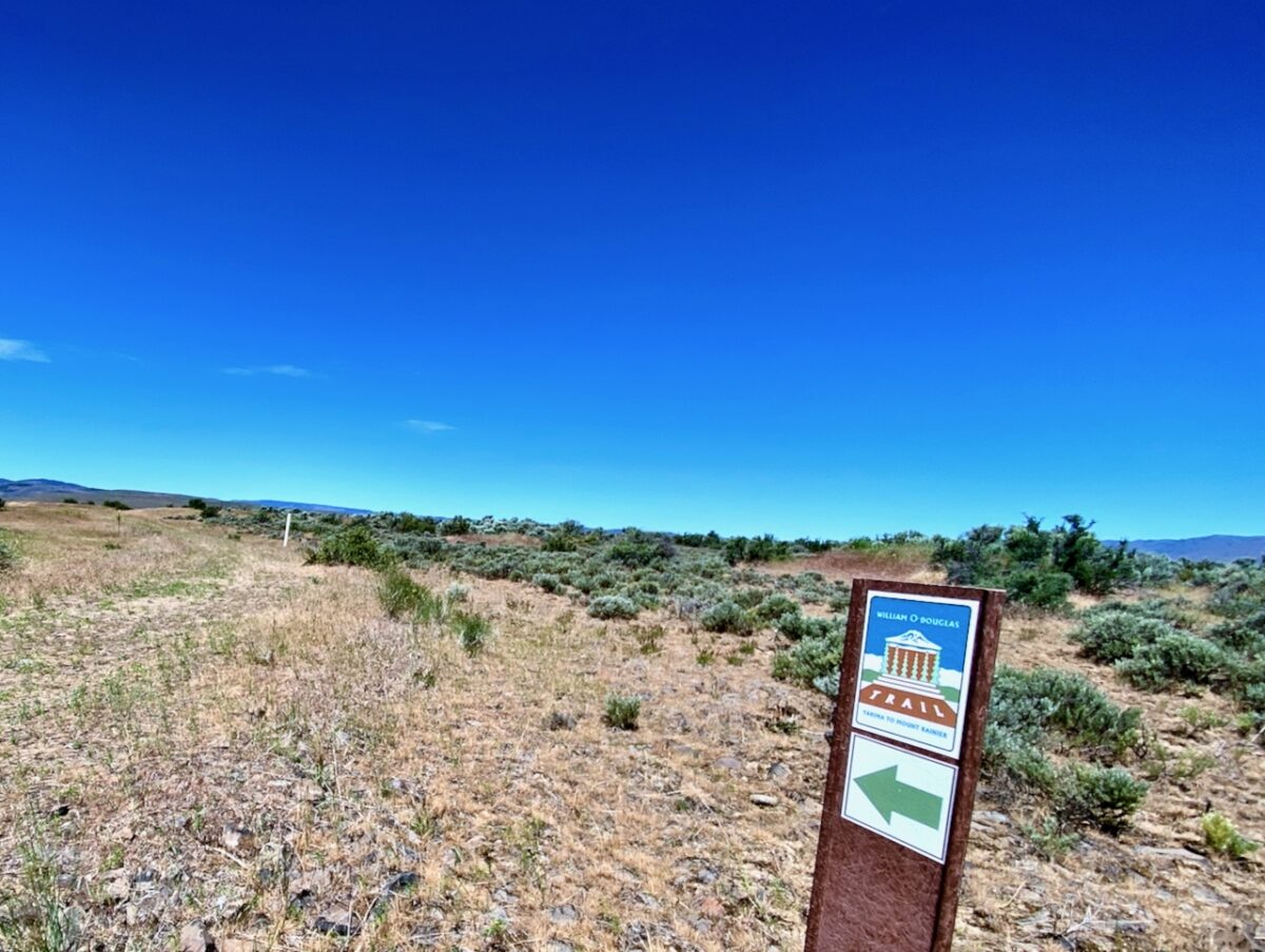
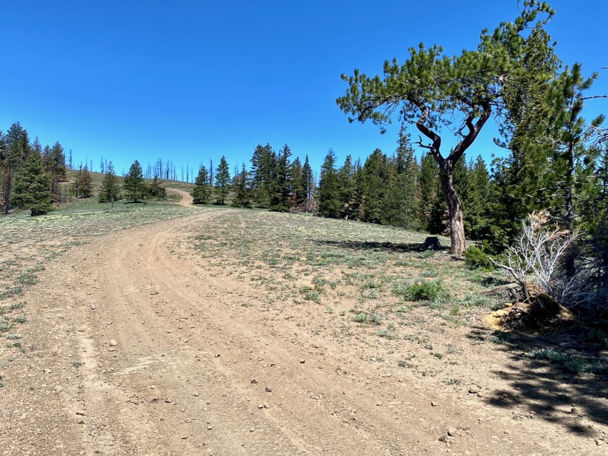
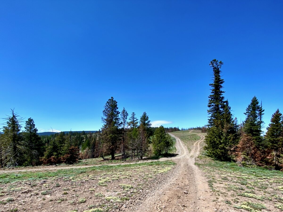
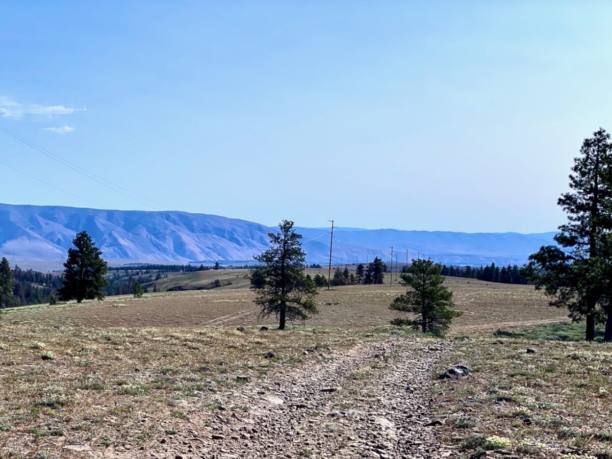
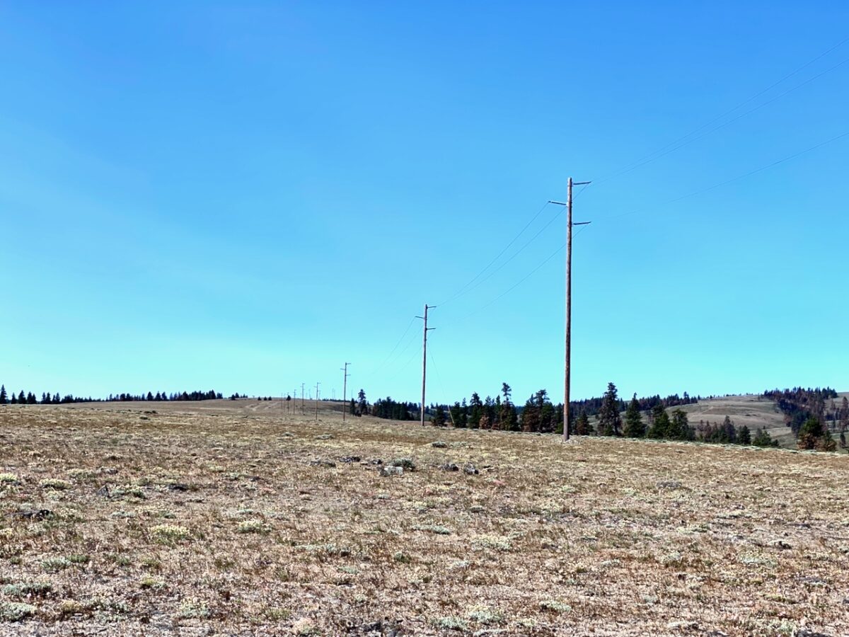
From here, the trail passes through private land, then state land, before entering private land again. At this point, the trail leaves the road and follows an old jeep track under the power lines. A track is discernable, but for much of the distance there is no track, one just follows the power poles, passing though state and federal lands.
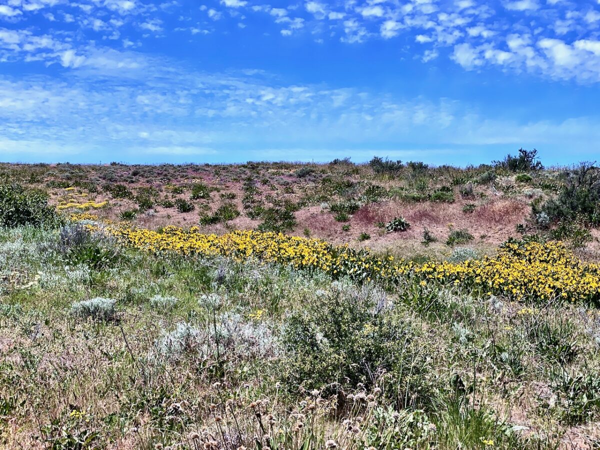
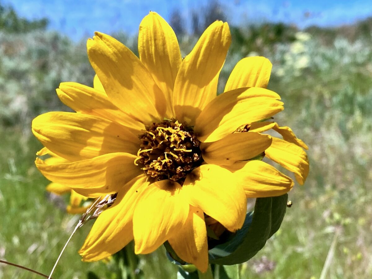
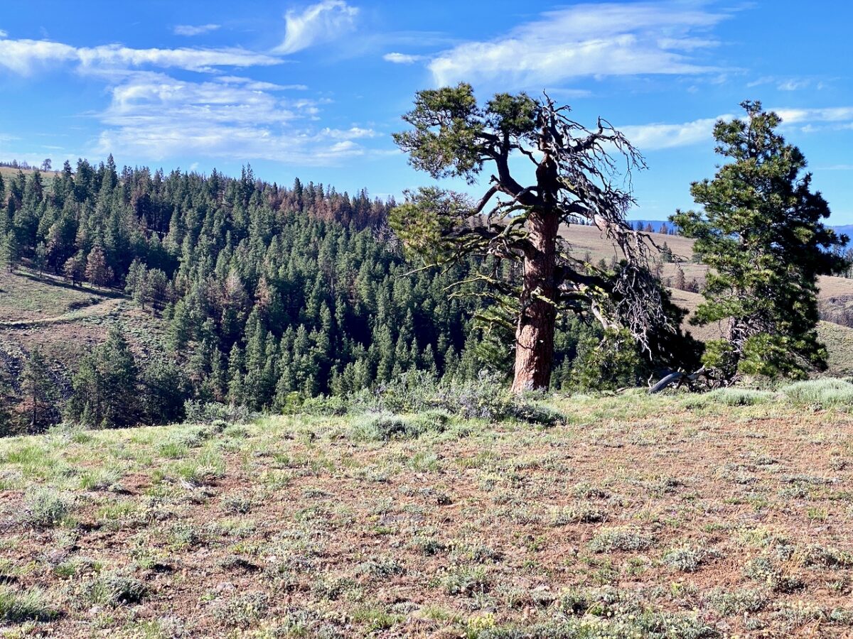
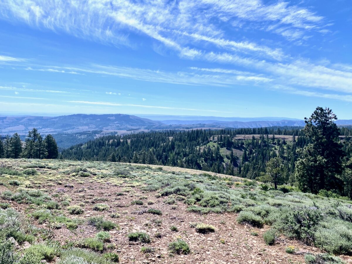
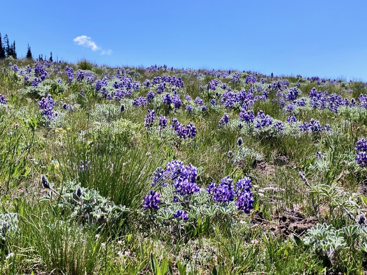
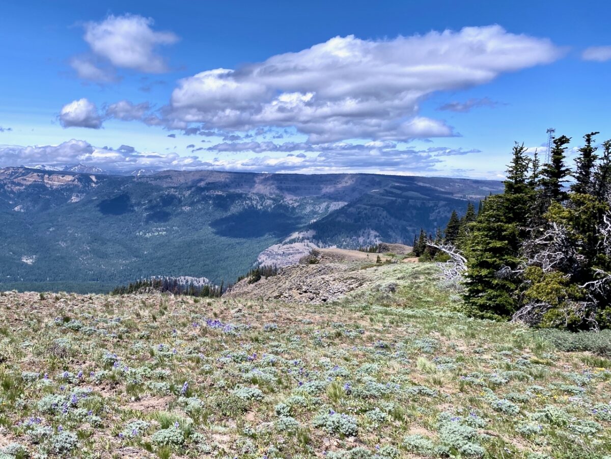
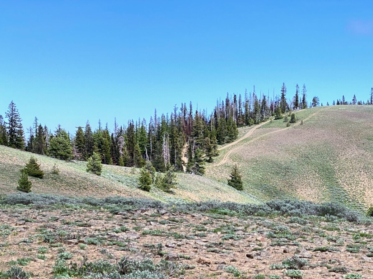
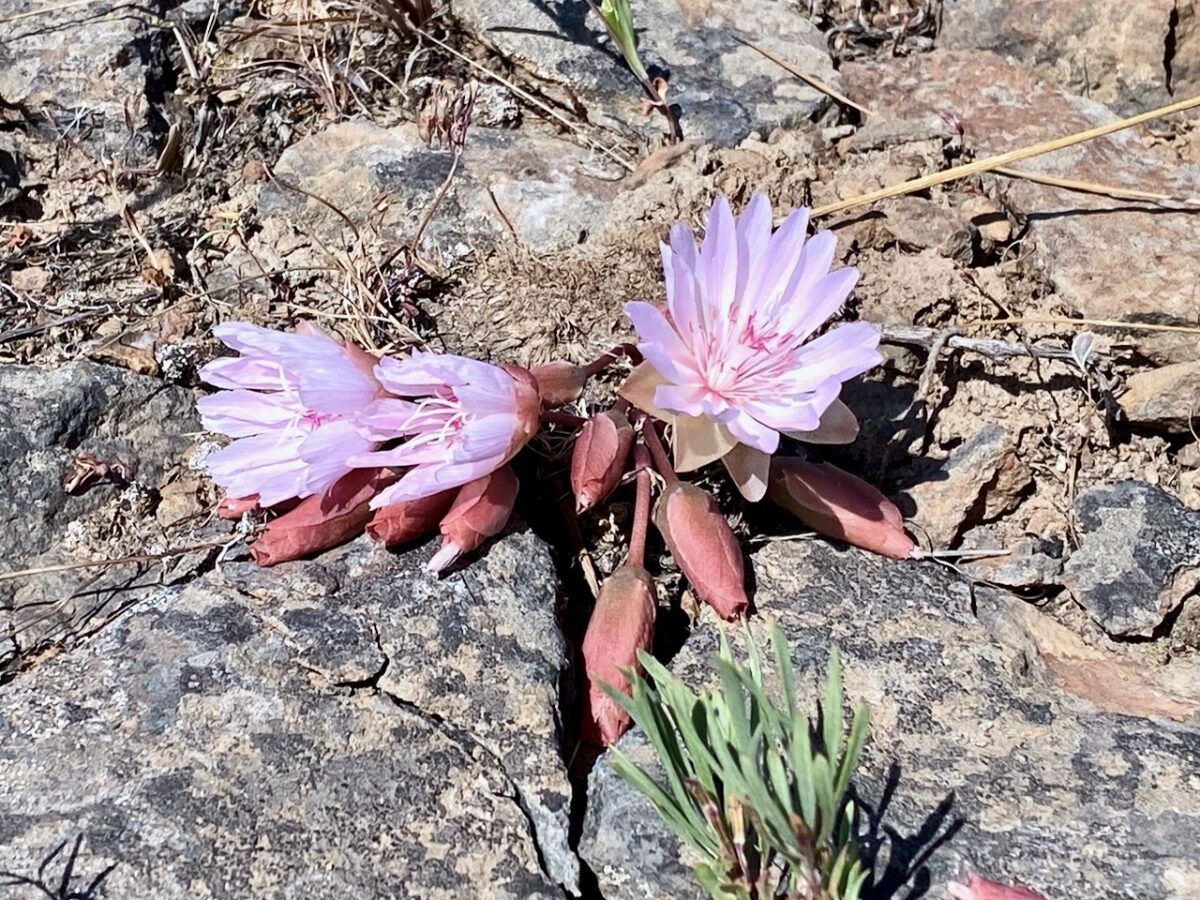
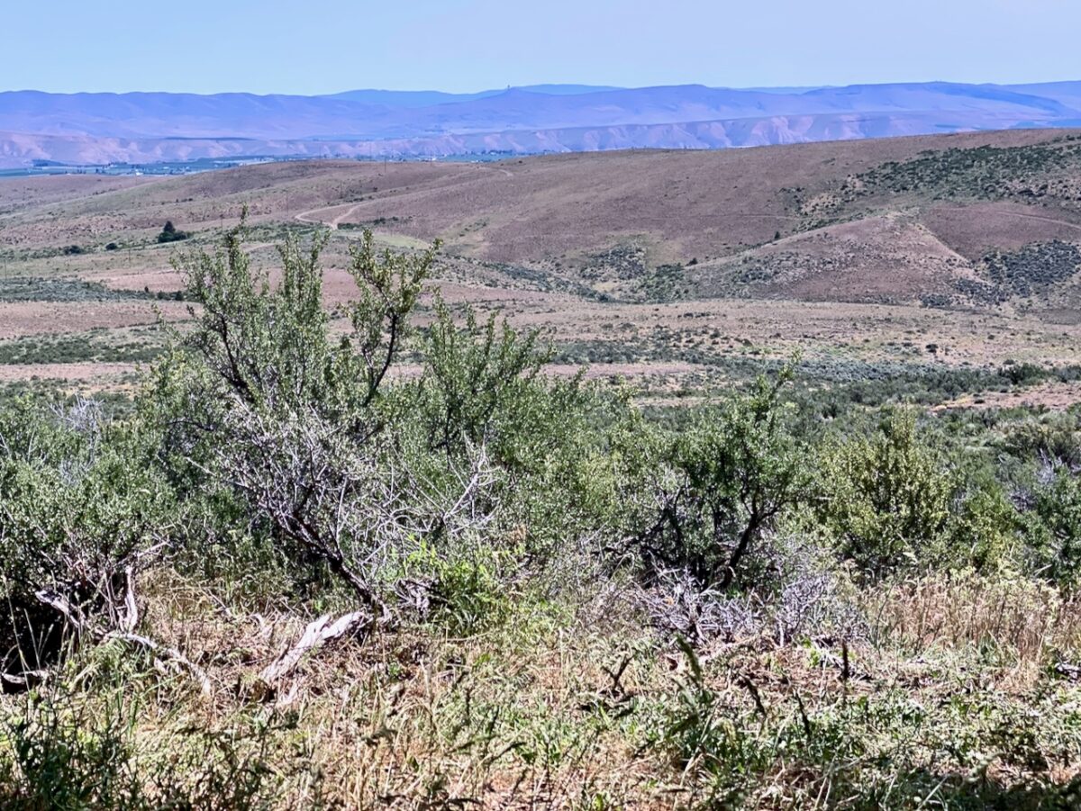
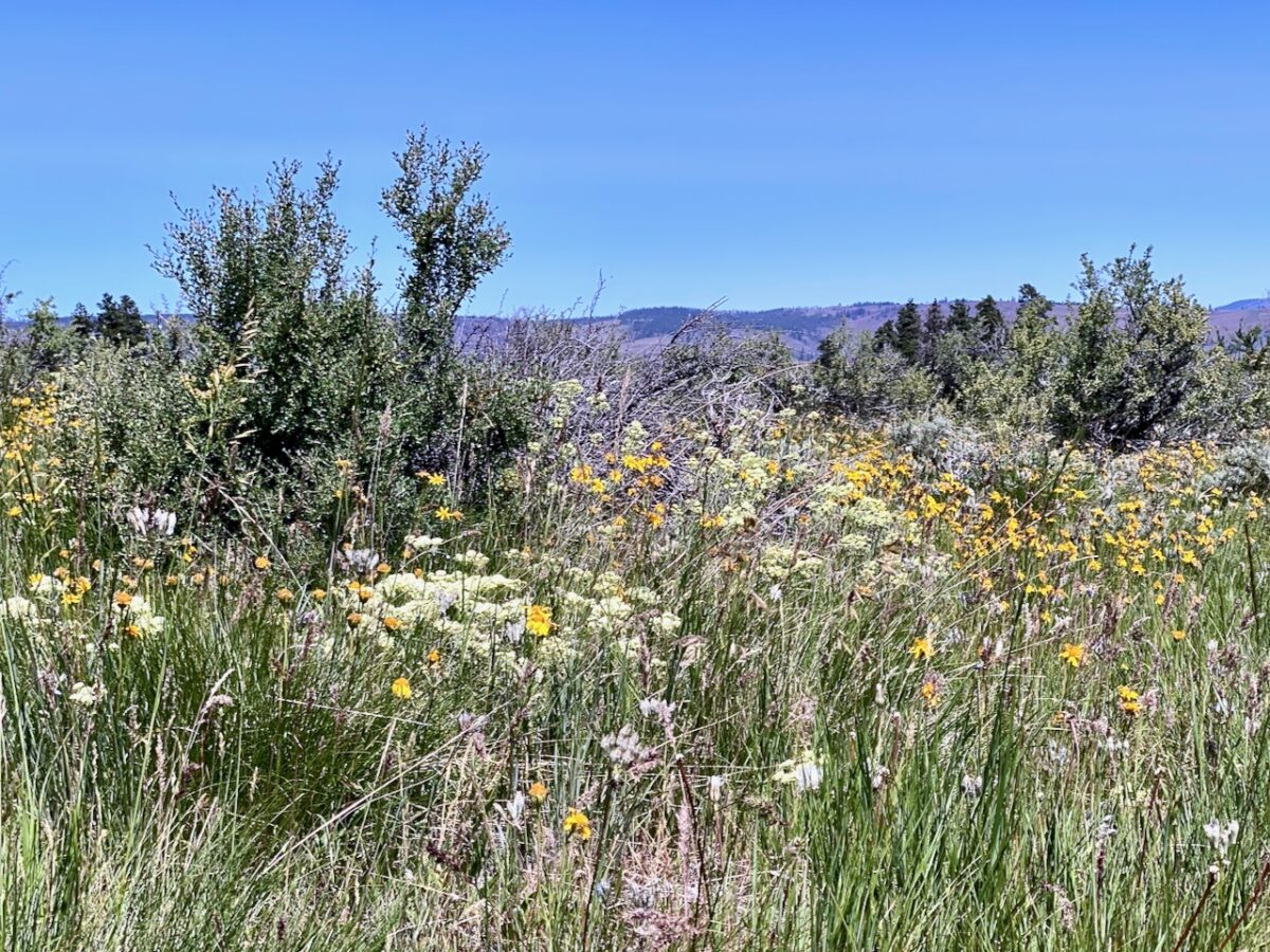
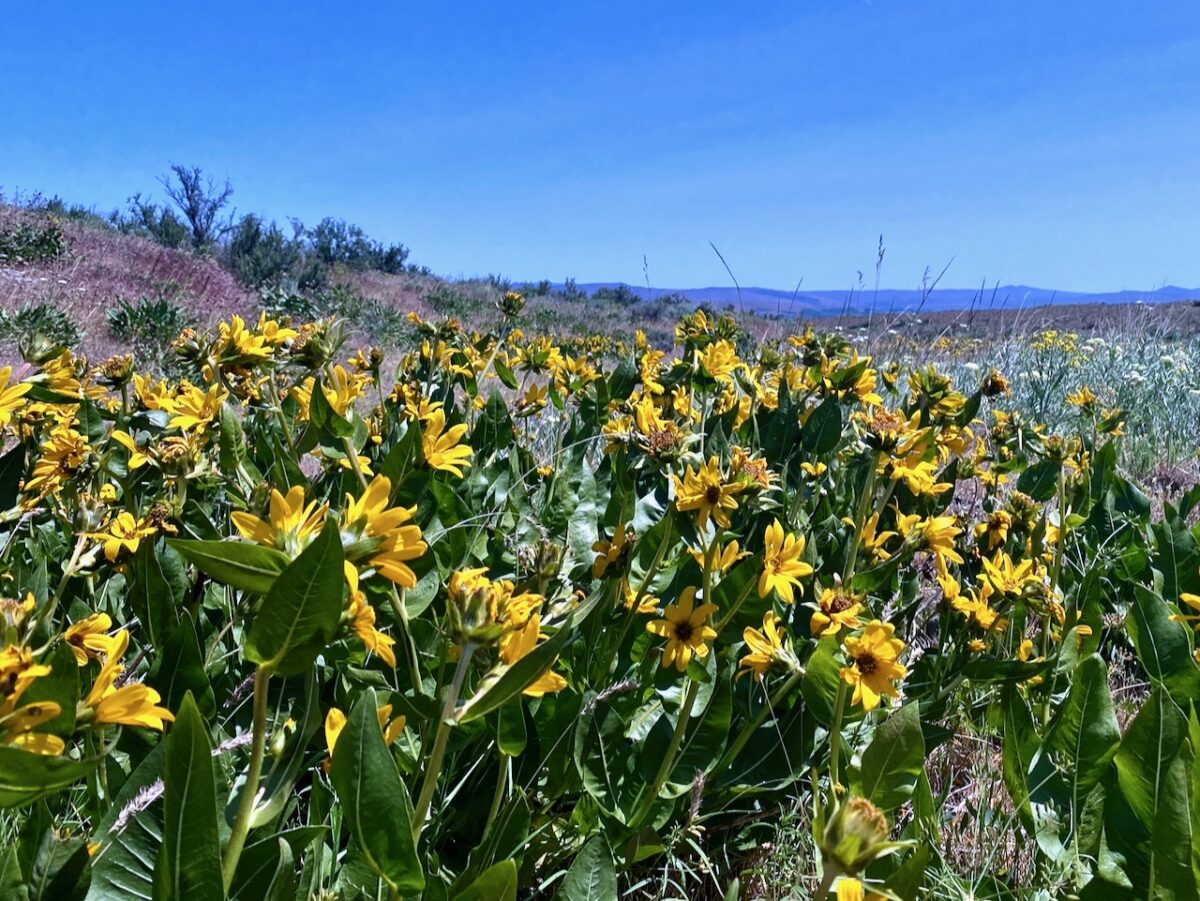
The trail stays at the top of the ridge the entire time, providing lots of territorial views over the dry countryside. Vegetation is mostly grass and such, with some shrubs and pine and dougas fir trees scattered about. Bitterroot, lupine, and other flowers were in full bloom.
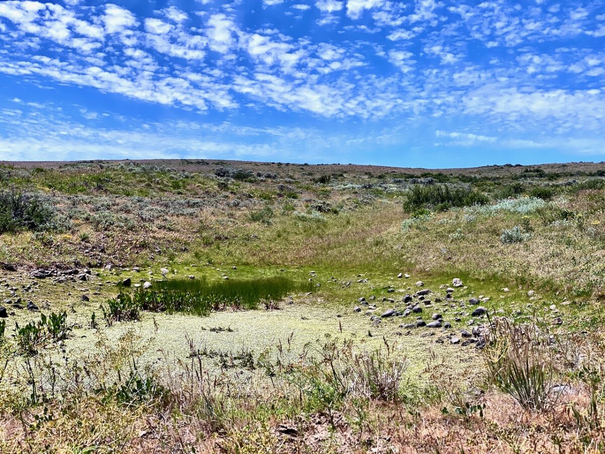
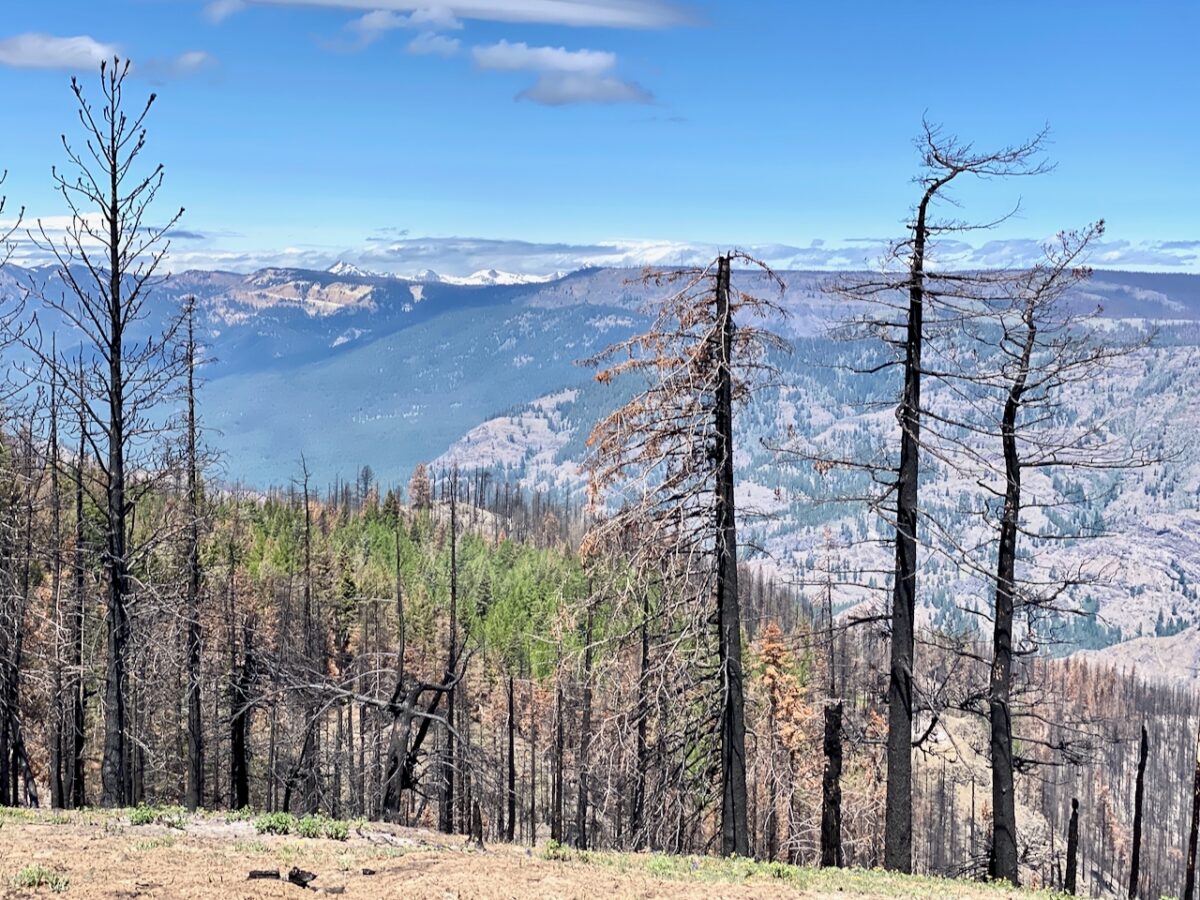
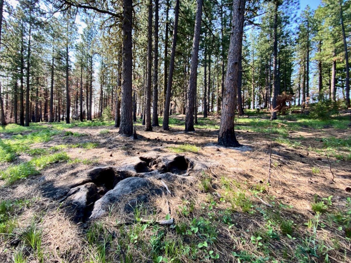
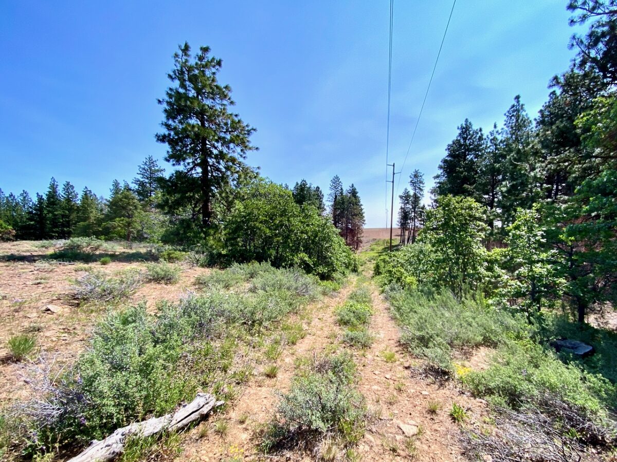
The higher I hiked, the more trees began to dominate the landscape, singly and in small clusters. As I approached the upper reaches of the NF Cowiche Creek, the forest began to close in, sparse still, but covering most of the landscape. I intended to camp down a side road the map showed as descending down to the NF Cowiche Creek, with a trail leading to what I expected were campsites alongside the creek. Once I realized the upper creek was dry, I abandoned plans to go further, and focused on finding water. I ended up finding water a short distance down the creek, rather deep in the gully, and I set up camp alongside the main trail at the ridge top.
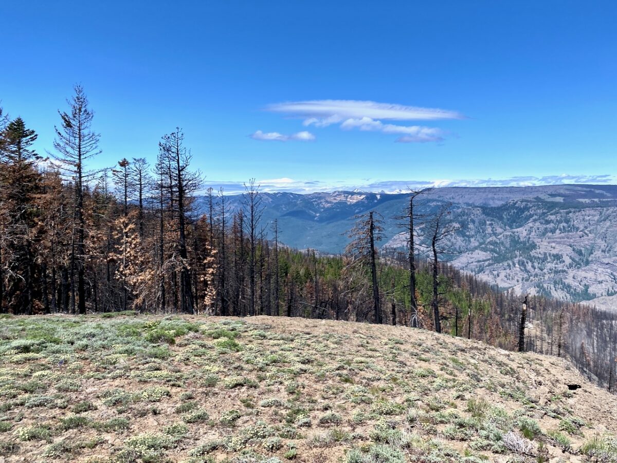
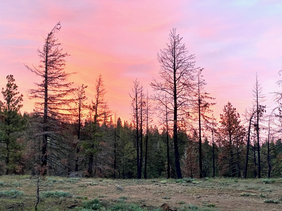
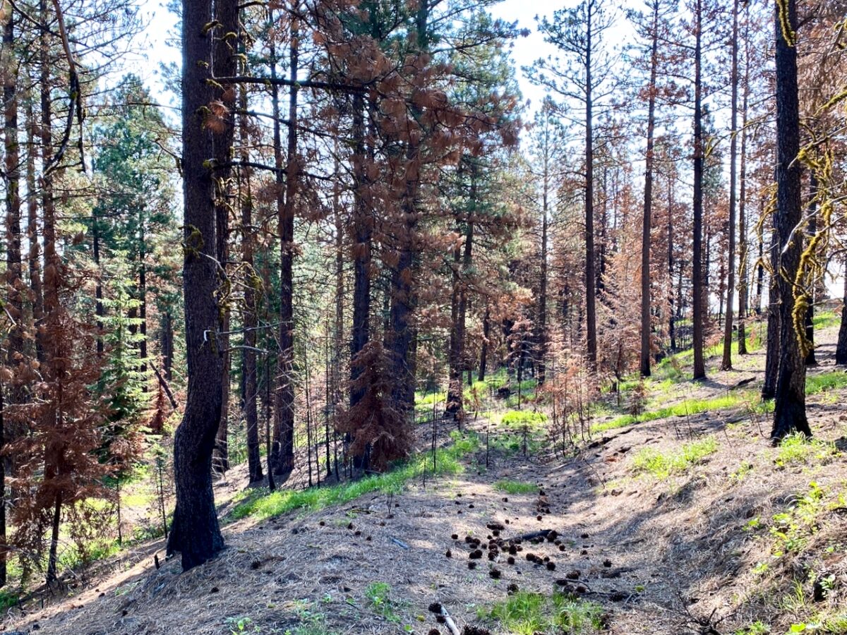
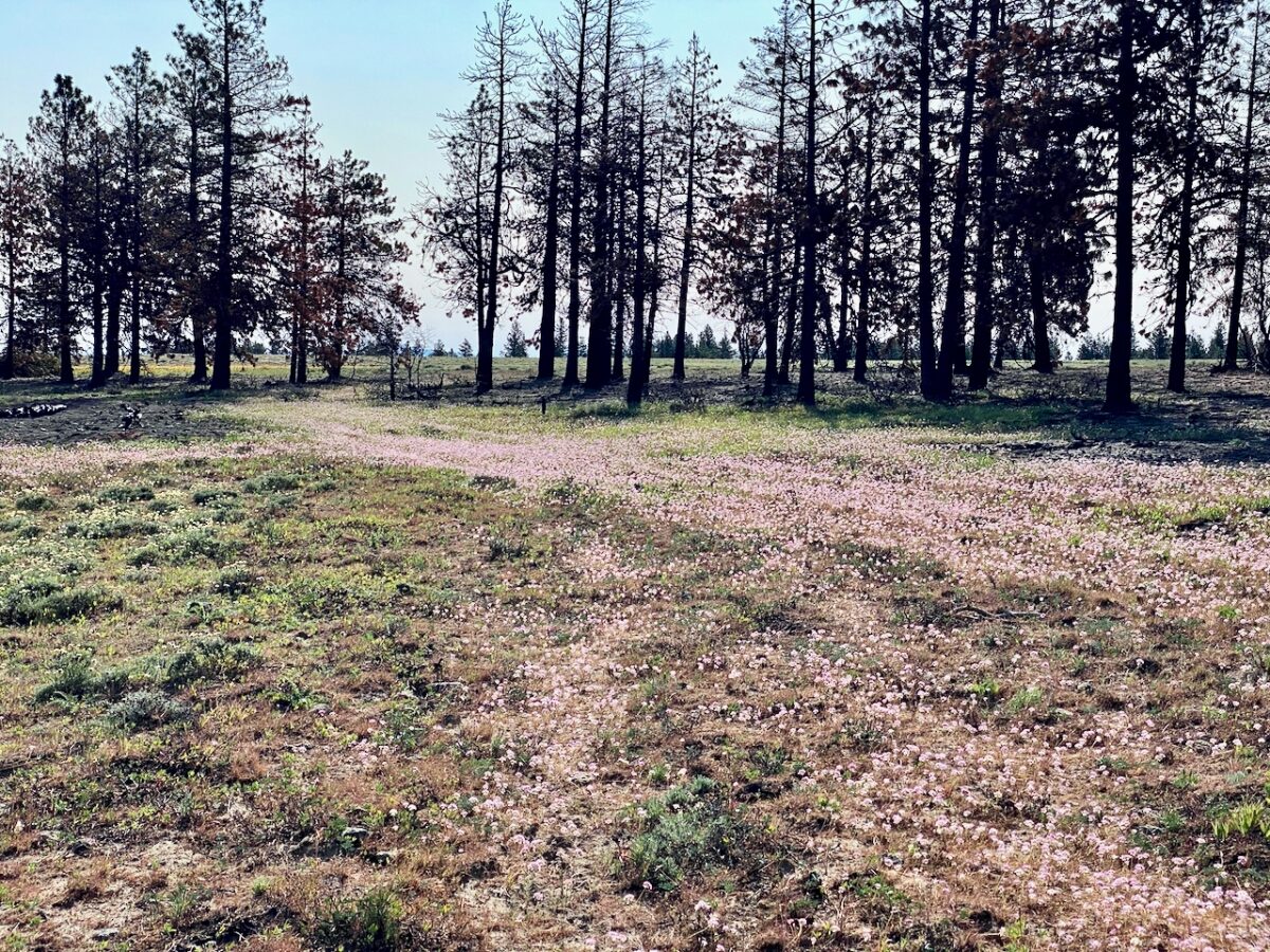
The area between the creek and my camp had burned over a year or two ago. Down in the gully, the smell still lingered. While the creek was not freely flowing at this point, there was an area where a trickle seeped out along the creekbed and flowed over rocks before disappearing back into the soils. I was able to get fresh, cold water here. Enjoyed a peaceful evening and a lovely, if subtle, sunset.
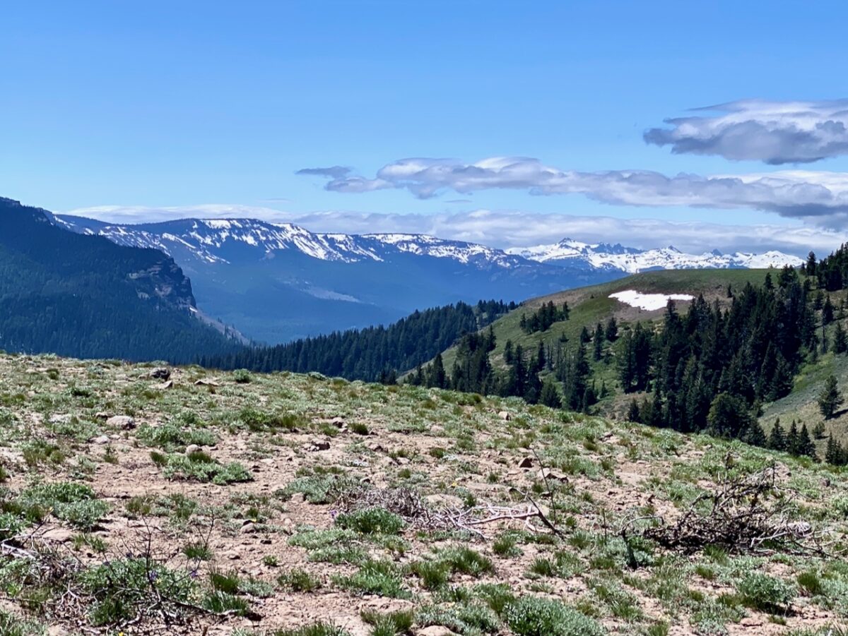
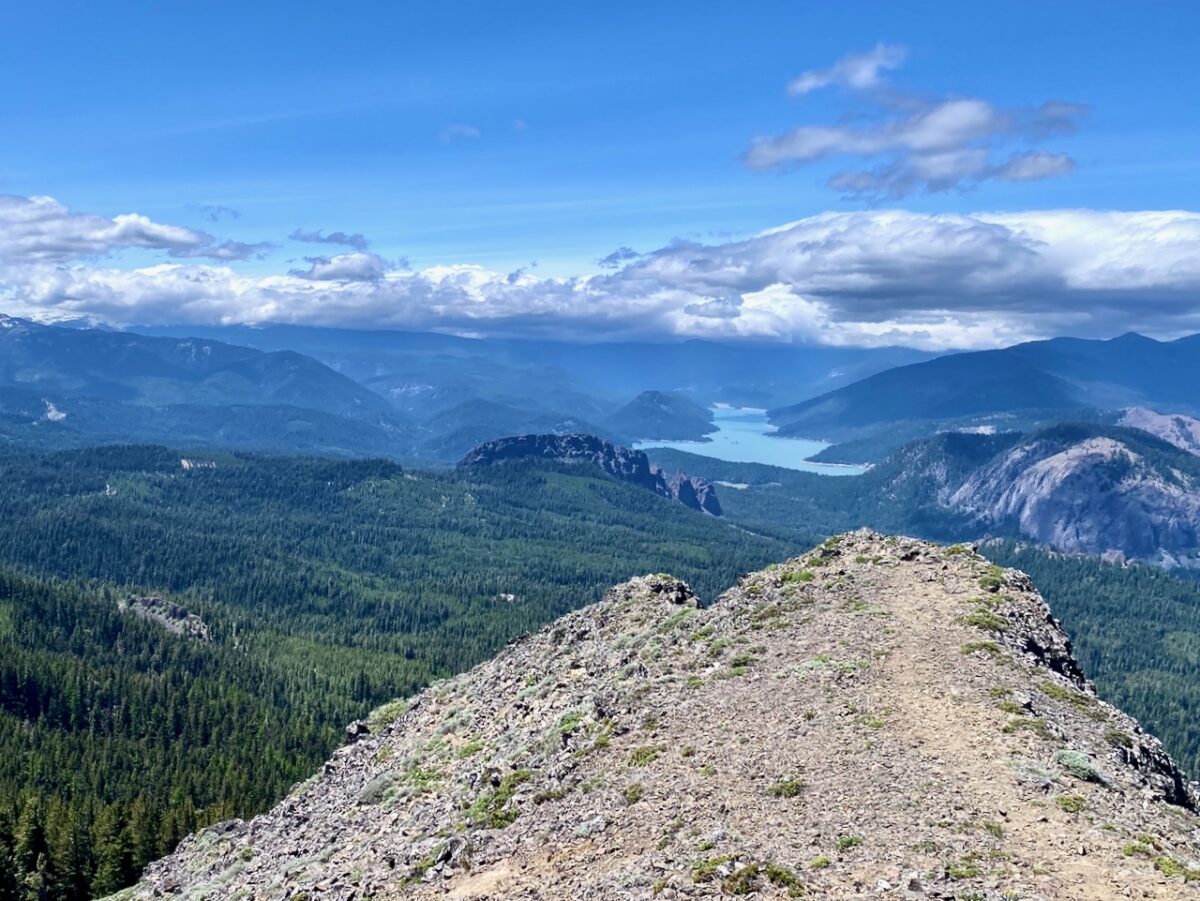
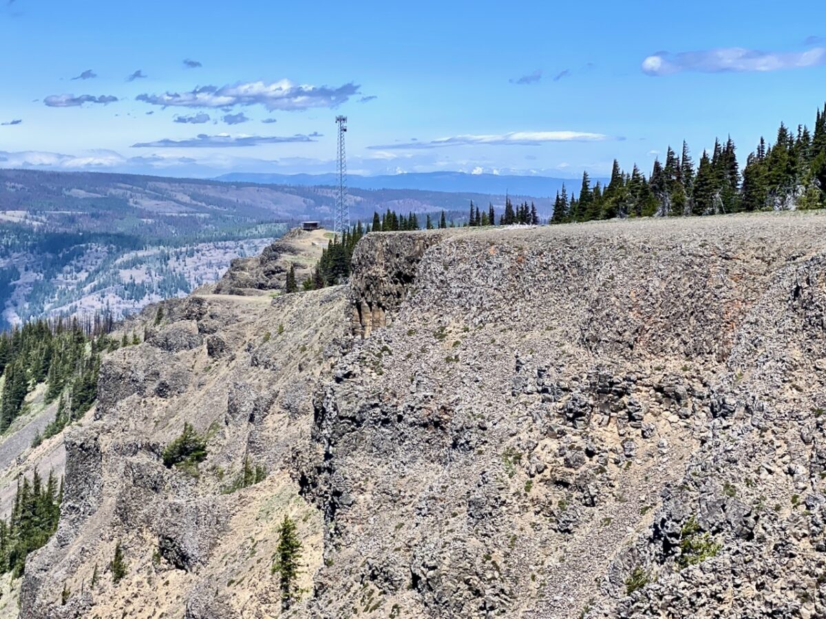
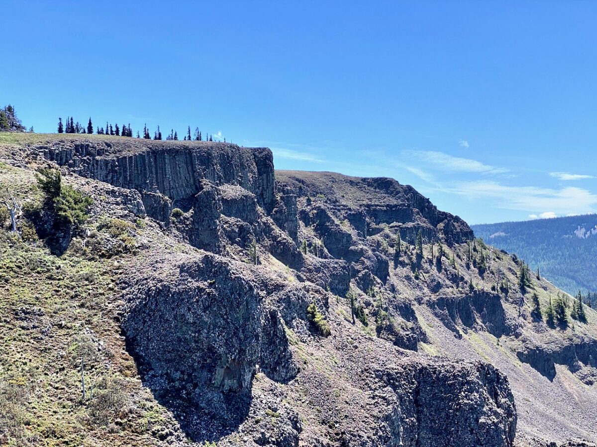
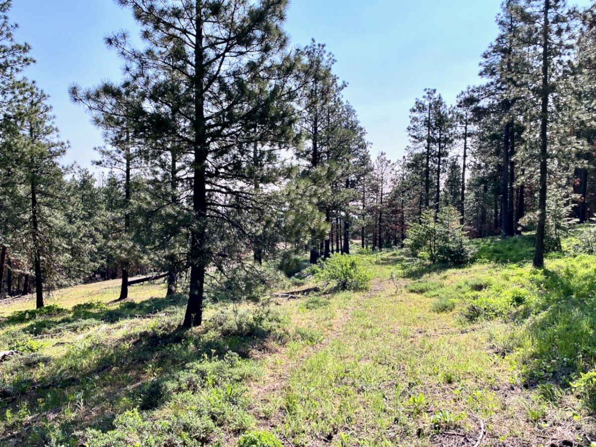
The next morning, I got up fairly early, but lazed about camp enjoying my dirty chai. Eventually, tho, I booted up and day-hiked up to Jumpoff Point. The route passes through more forest/scrub with lots of open spaces and wildflowers in bloom. Once I got up to the top, I followed the loop around to the radio tower and lookout.
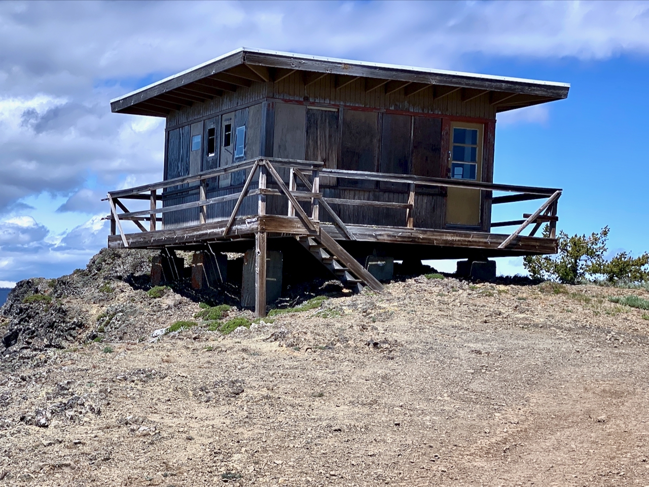
The lookout is notable for being the last lookout in Yakima County. Built in 1961 to replace an older lookout, it has been stabilized in recent years by volunteers who hope to save and restore it. The new radio tower immediately adjacent rather dominates the site now, tho.
Once I had finished my lunch and scouted around a bit, I headed back down. Despite having encountered nobody on this whole hike, today was peoply. I encountered a couple of different parties, one of who was very confused by my not wanting a ride, lol.
While at the top, I had noticed the wind picking up. It had been lightly breezy the day prior and this day, but now the breeze was getting stiff. By the time I made it back to camp the winds were moderate and sustained. They got worse as the night wore on, and it was difficult to eat dinner. I went to bed after it got dark, around 10:00 PM, and the wind just kept getting stronger. It eventually faded in the wee hours.
The next morning, I got up early and packed up, making one last trip down into the gully for water before heading back down the mountain. The hike out was uneventful, I simply retraced my steps. By mid-afternoon, I had made it back to my truck.

Images taken May30-June 2, 2025 along the William O. Douglas Trail, Ahtanum State Forest, OWNF, and private land.
Approx. 35.7 miles hiked with roughly 4,534′ elev. gain – my GPS track did not save, so these values are from the plotted route.
Leave a Reply