Joined fellow ancient trail explorer Gabriel Amadeus Tiller in exploring Lone Tree Mountain for a possible routing of the Orogenesis Trail. First thought: Impossible! Especially after my previous exploration of the area just above Camp Creek Falls. On getting back to my overnight campsite at the 5508-019 spur (de-commed, great site!), my tune has changed. Lone Tree Mountain could host a trail… at least I’m pretty certain. It would be… brutal, to be sure.
He picked me up at the 55/5508 junction, and we drove as far up the 5500-081 spur as far as possible, which wasn’t very far at all. Then we hoofed it to the end of the spur, climbed up to the next spur, and followed that to the end. From there, we expected to find a trail, as Gabe had found online entries of motorbikers making it to the summit, from a few years back. We found no trail, but did find a good, if brushy, route to the forested summit. It provided no views, and no good place to sit.
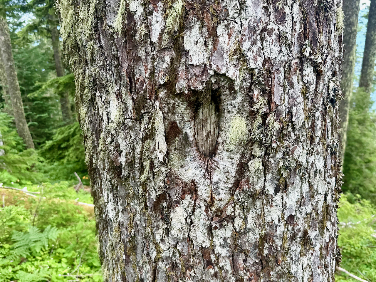
After a brief break to cool down and have a snack, we turned our sights downhill. Certain maps show an old pack trail from the valley floor (the first leg of the current Camp Creek Falls trail) leading up to the summit. That old trail would ascend thru the steep-walled canyon up to the ridgeline, following that to just shy of the summit, sidehilling across to the eastern ridgeline, then continuing toward the Klickitat Sisters trail. The summit area having been logged not too many decades ago, the 2nd growth was intimidating, but we were able to find a fairly discernable path down along the ridgeline itself – to a point just above where maps show that old road ending. Things got a little cliffy and questionable just below us, but we could see it all mellowed out a bit just past that. The slope was steep to go down, and seemed even steeper going back up – but that extra effort was rewarded by an obvious trail blaze marked in a tree. Sticking to gaps in the trees, we climbed back up to the end of the spur road where a lot of woody debris had been piled. And alongside that we found one of the largest, sweetest strawberry patches I’ve ever encountered. We could’ve spent all day here!
Instead we followed the spur back and explored down the 5505 Rd as far as the slide that blocks the road. We found no sign of any trail along there, altho one is marked on some maps. Heading back, we explored another spur up to one of the lower of Lone Tree Mountain’s three summits. While I expected to find some sign of a trail thru here, we didn’t. It should have followed the ridgeline down to the 55 Rd, which follows the historical route of the Klickitat Sisters Trail. It was a great walk thru the woods, tho!
After dropping me off back at my camp, we chatted for a bit about challenges in routing the Orogenesis trail. Needless to say, I’m fascinated. The Cispus area proves a challenge, as does the White Pass area. So I have a few items on my near-term checklist to add – this lower section of Lone Tree, South Point Ridge, Summit Creek/Cowlitz-Yakama Trail and Cortright Ridge, and the Yellowjacket Ridge gap on to White Pass. Otherwise, it’s the Packwood Trail from South Point to Lawiswis. I feel I have that route down pretty well but for the creek crossings at Lake Creek and Coal Creek.
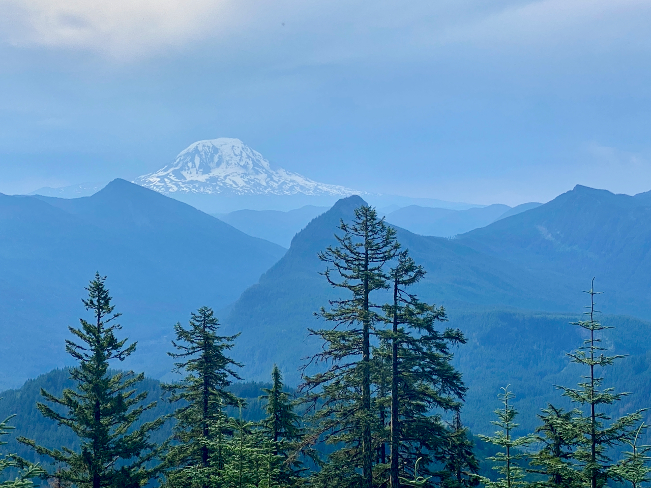
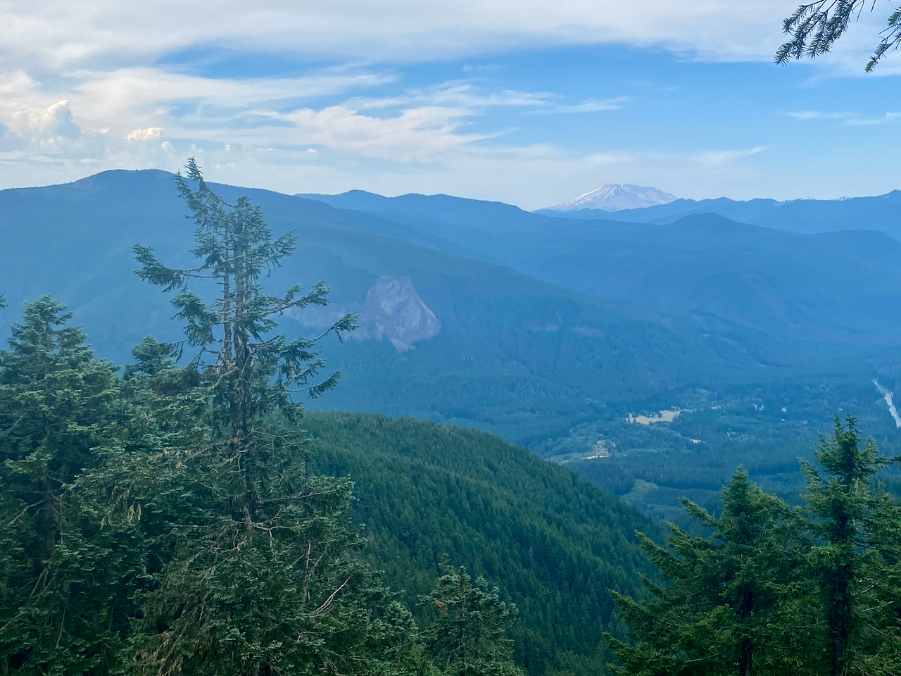
Images taken July 17, 2024 on Lone Tree Mountain, GPNF (the last image taken by Gabriel Amadeus Tiller).
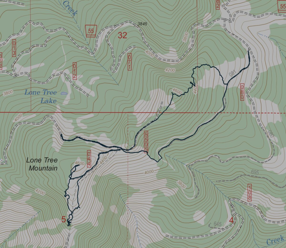
5.96 miles hiked/bushwhacked w/ 1,608′ elev. gain.
Leave a Reply