
Drove up to Jody’s Bridge to spend the night. Someday, I’ll stop calling it Jody’s Bridge. The bridge hasn’t been there in nearly 20 years…
Waded across the river and set up camp at the mouth of the Muddy Fork Cowlitz. Found a nice hang on the edge of the forest overlooking the river and gravel bars. Once that was done I waded back over, grabbed my bike, and set off up the 4610 Rd. I had walked part of it back in February, during a warm spell with high snow levels. At the time, I was amazed I could get so far up the canyon, and resolved to return. I had turned about at a creek crossing but I could see a trail continued along the road further up the canyon. Daylight being in short supply at the time, I didn’t explore it.
Here are some pics I took at the time. Yes, these are early February!
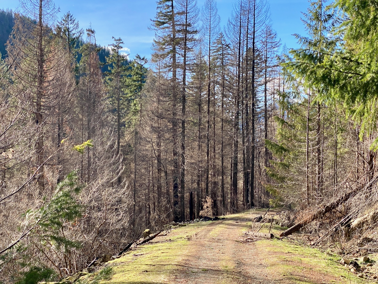
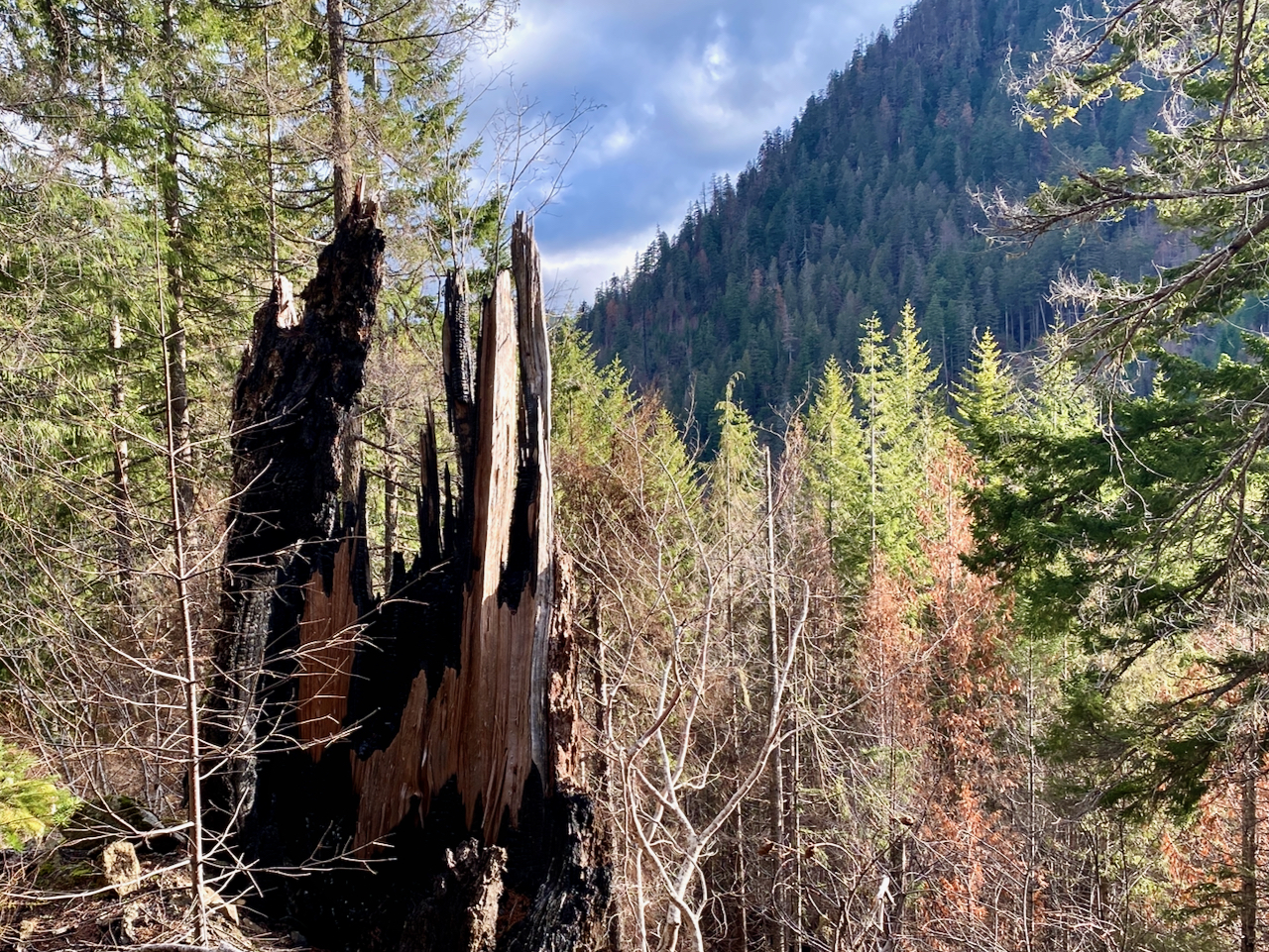
Images taken February 4, 2024 along USFS 4610 & 4612 Roads, GPNF
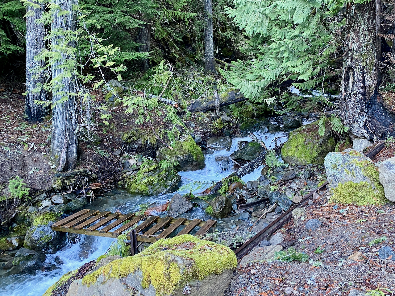
Parking my bike at the same spot I had turned around at, I set off on foot up the trail. I eventually came to Coal Creek, and while the road bed definitely continued after, it was too overgrown to keep going. I had lunch alongside Coal Creek, then made my way back.
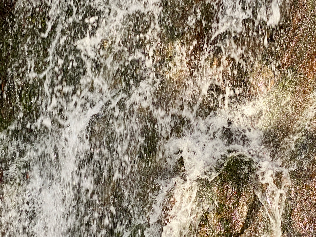
That was quite the bumpy ride down and out, but oh how fun! I didn’t take many pics, as I was biking.
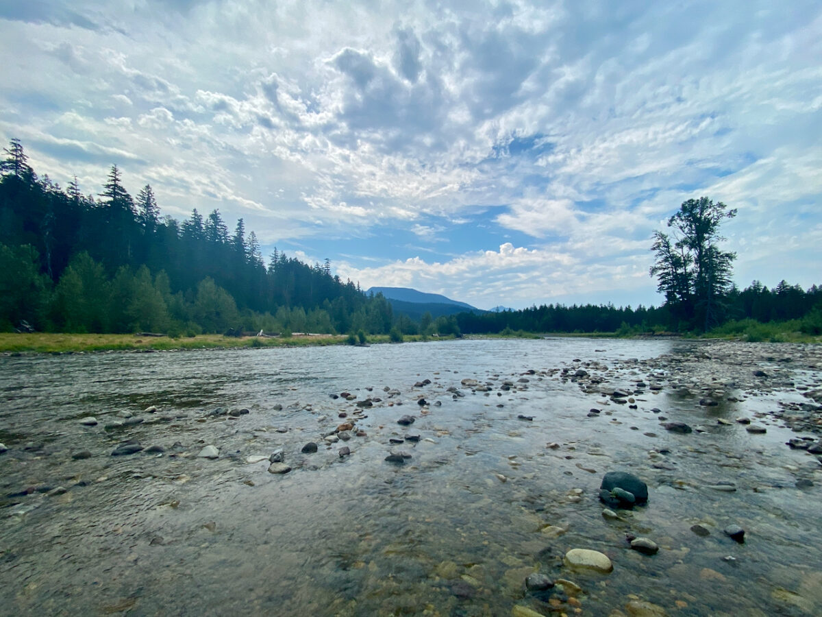
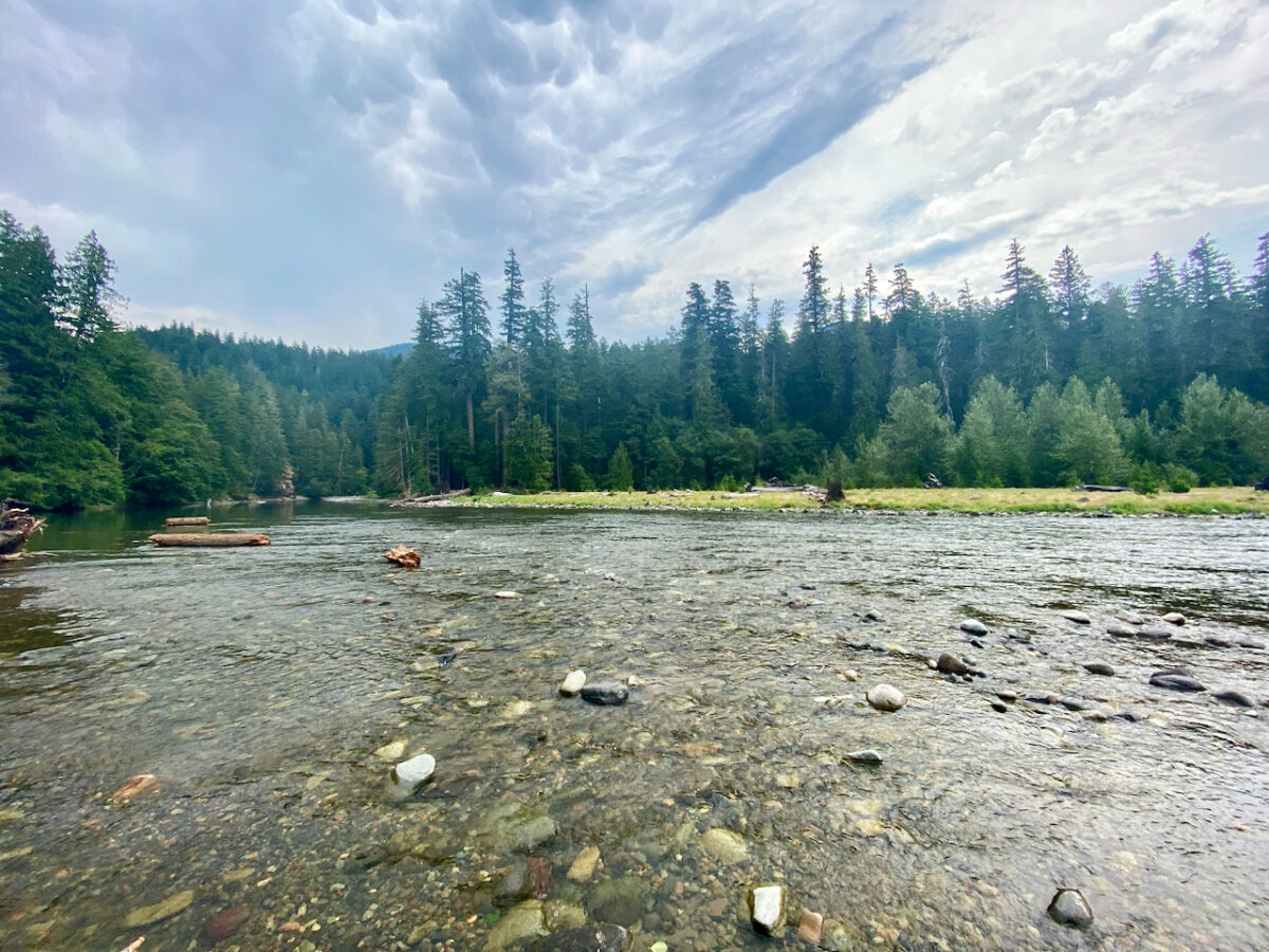
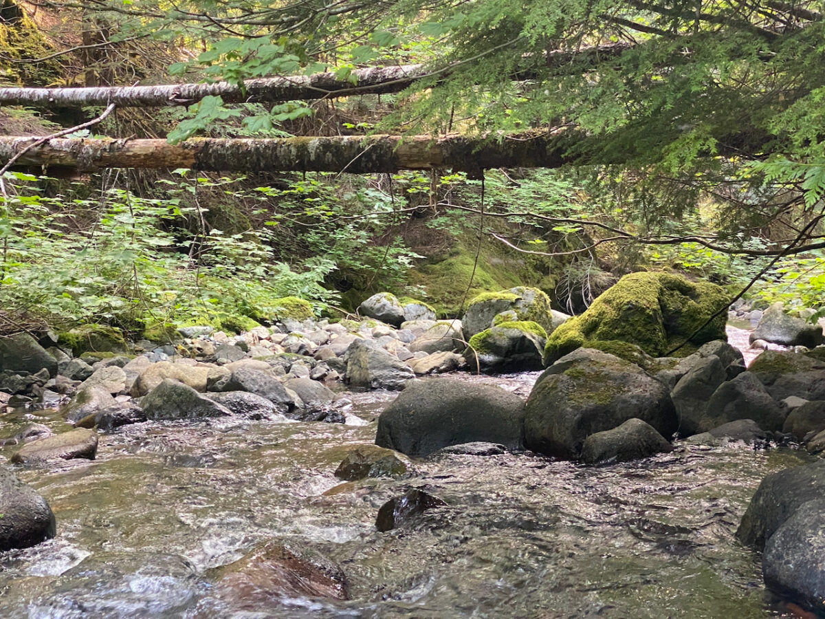
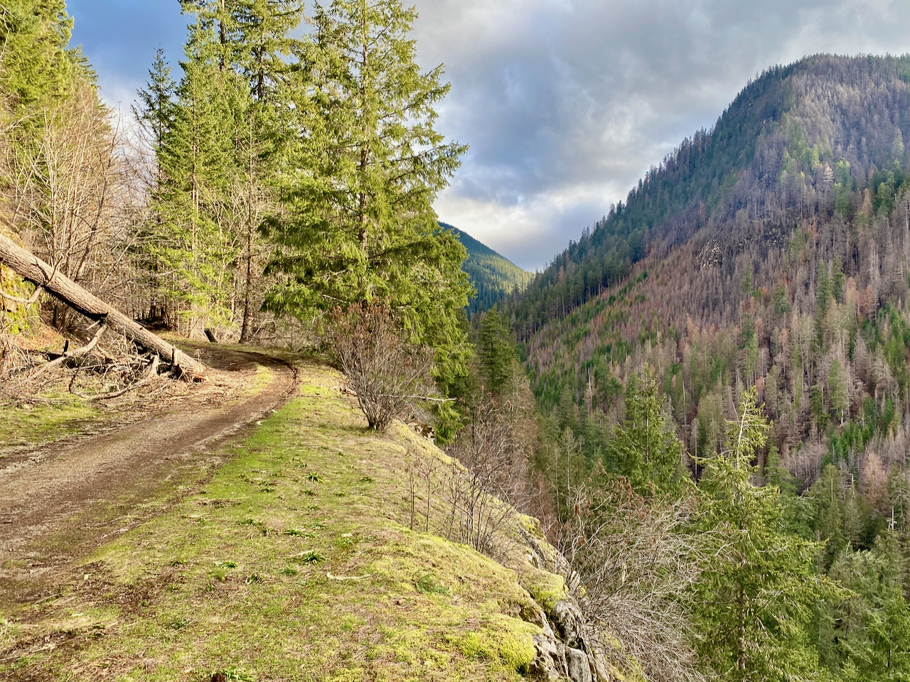
Images taken July 21, 2024 near USFS 1246, (Jody’s Bridge), and Coal Creek along USFS 4610 Rd, GPNF
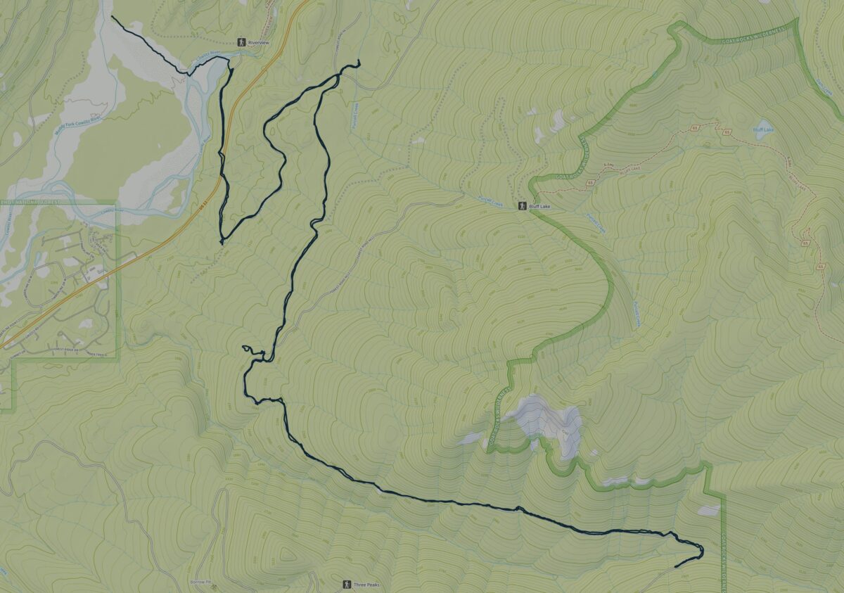
15.97 miles biked w/ 2,297′ elev. gain.
Leave a Reply