I covered a lot of ground these 5 days. Having the week up, I drove up on the 19th and set up a base-camp alongside the NF Tieton River just off the USFS 1207 Rd, a very private and lovely site right on the water.
5/20 Day 1 – Bike ride from base camp to to Milk Creek Rd
Enjoyed a nice leisurely morning at camp, then set out on my bike along the Tieton Rd to my previous campsite. Was really feeling out of shape, especially once it got windy for the afternoon, and my butt was not happy on the bike seat. A very quiet day with very little traffic on the road. I took some extra breaks on the way back as rain threatened a few times, even sprinkled twice.
5/21 Day 2 – Hike from base camp to Round Mountain Trail
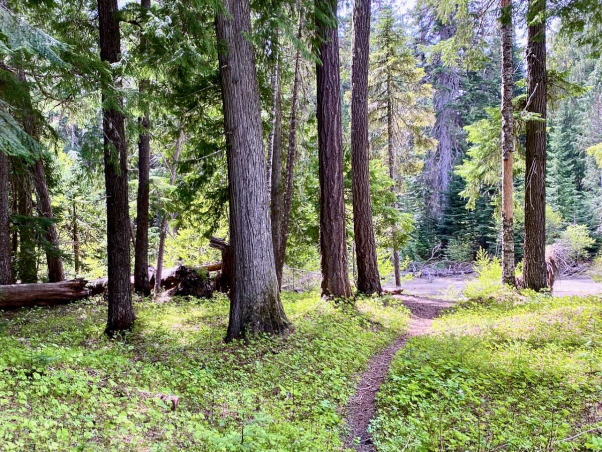
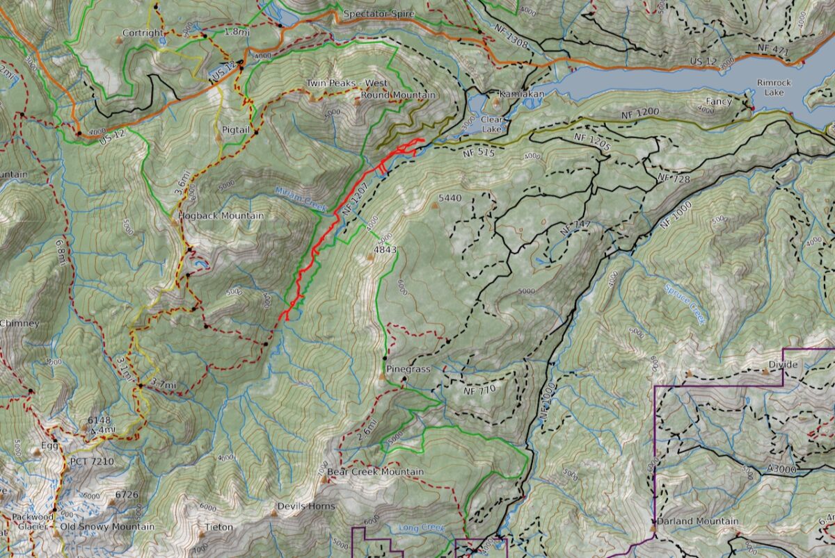
Once again, enjoyed a leisurely morning, then set out for a hike to the Round Mtn Trailhead. I wasn’t relishing road-walking the large switchbacks, but they passed quickly. Some very cold & tasty water coming down the streams up top. I turned back before I hit heavy snow when I hit some deadfall tangle across the trail. Very quiet, saw nobody the whole day.
5/22 Day 3 – Hike from base camp to NF Tieton camp ground
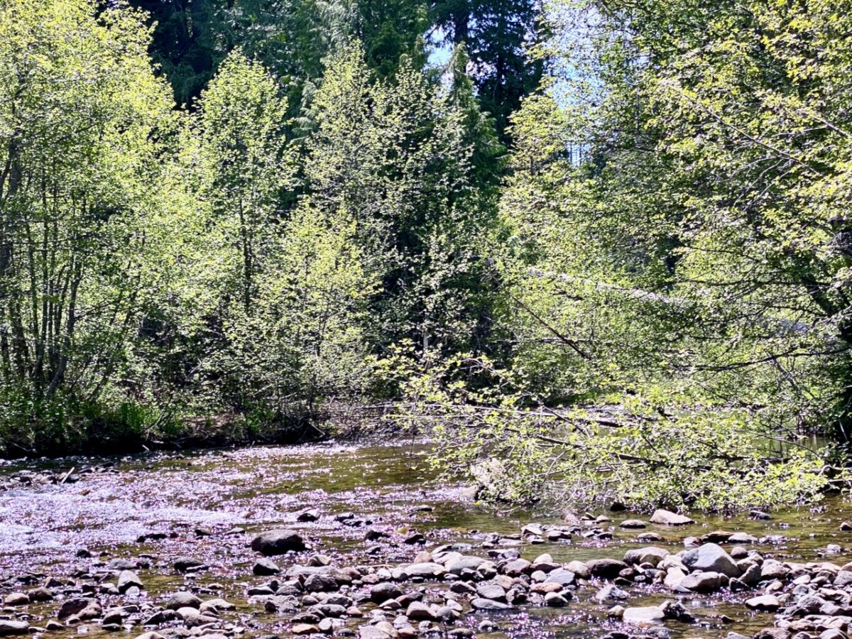
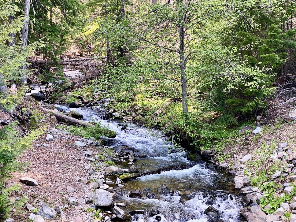
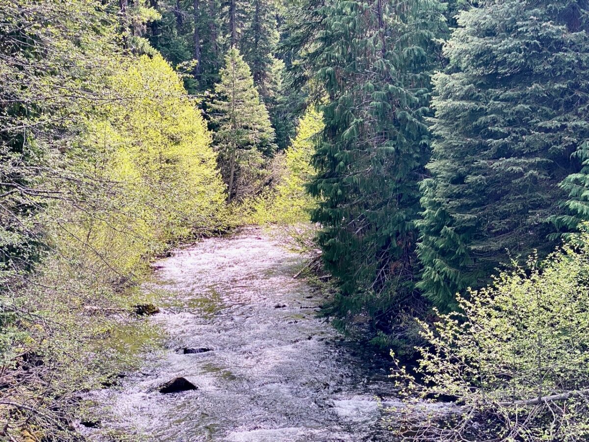
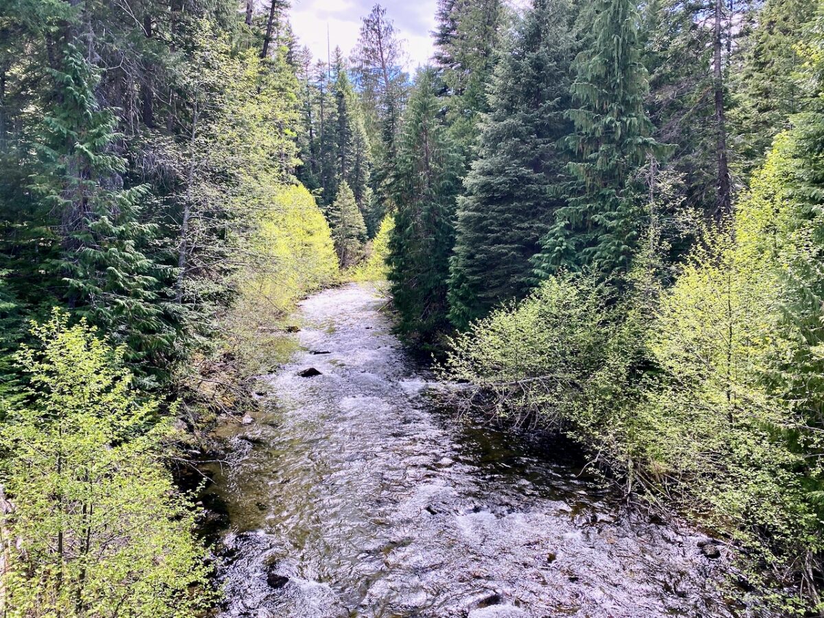
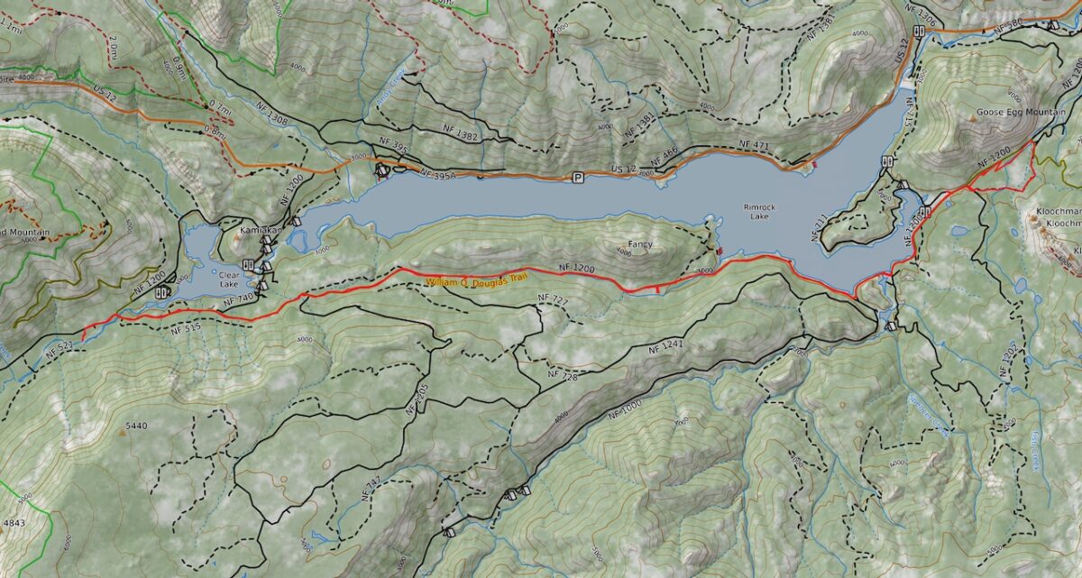
True to form, enjoyed a lazy morning, then ventured up the NF Tieton Rd to the campground. I had thought I might walk up to Tieton Pass, but once I got on the trail, the deadfall proved to make it impassable. So I turned back and followed the trail to the river, where I enjoyed lunch at a lovely spot along the water.
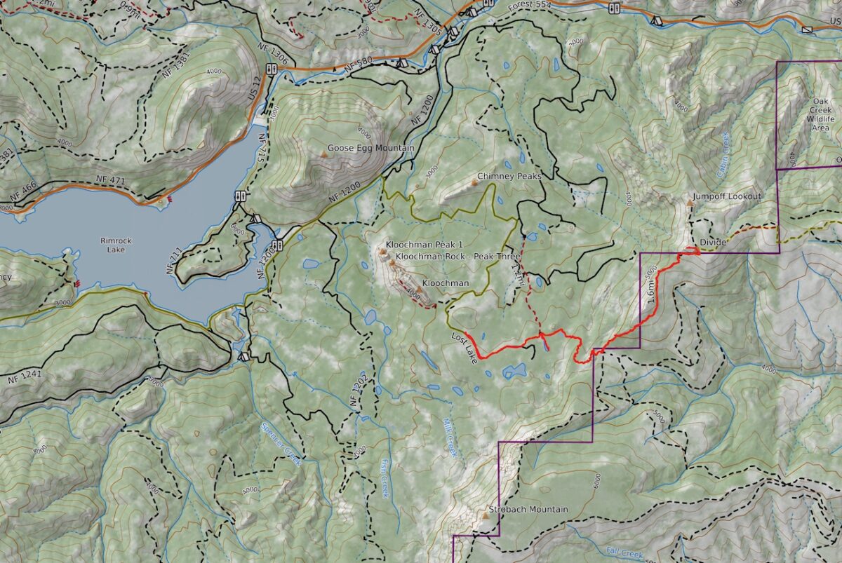
5/23 Day 4 – Hike from Pickle Prairie to Jumpoff Point
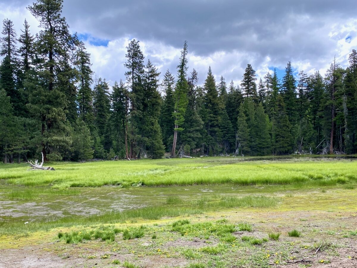
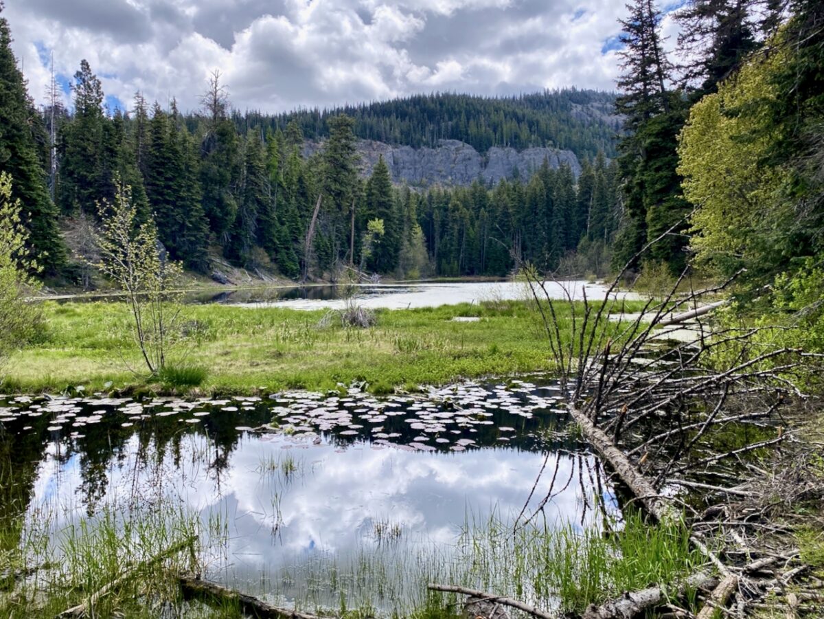
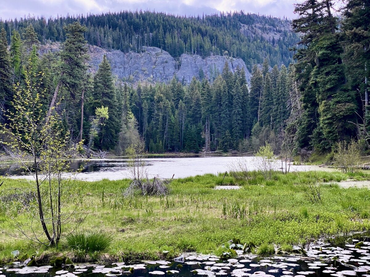
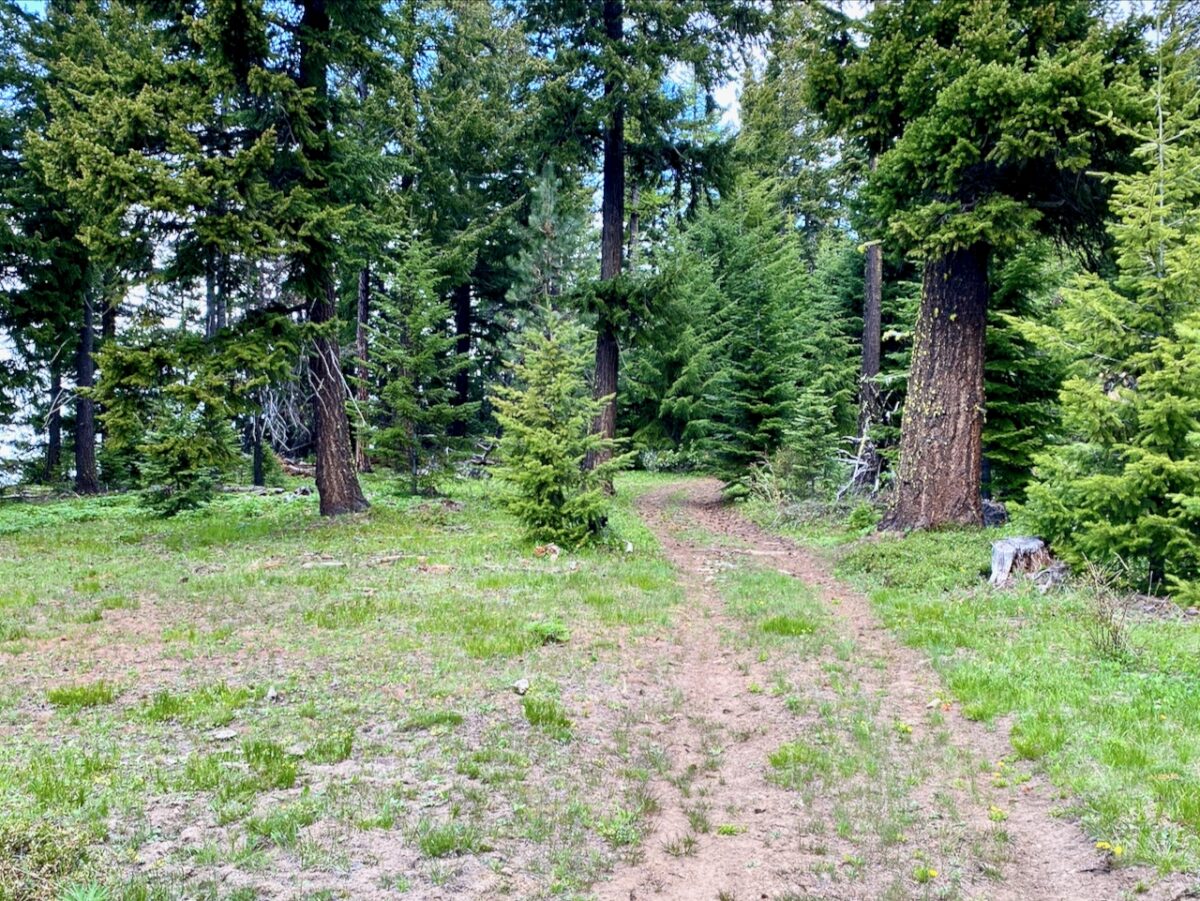
This is the hike I was really looking forward to. I could see from the maps that Jumpoff Point might be a neat destination, and I was eager to find out what the country between Pickle Prairie and Jumpoff Point might look like. So I broke down camp and set off at a decent hour in the morning, driving back to the USFS 570 Rd to where I had turned back on my last visit. While I wasn’t able to find a parking spot at just that spot due to all the campers that had set up, I did find one a short distance on, and spent a few minutes to cover that distance on foot. Once on the trail itself, the route turned to old jeep-track and soon arrived at an older wilderness shelter alongside a small lake. I explored a bit, then continued on – the mosquitoes were terrible there!
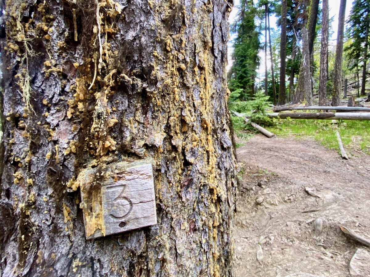
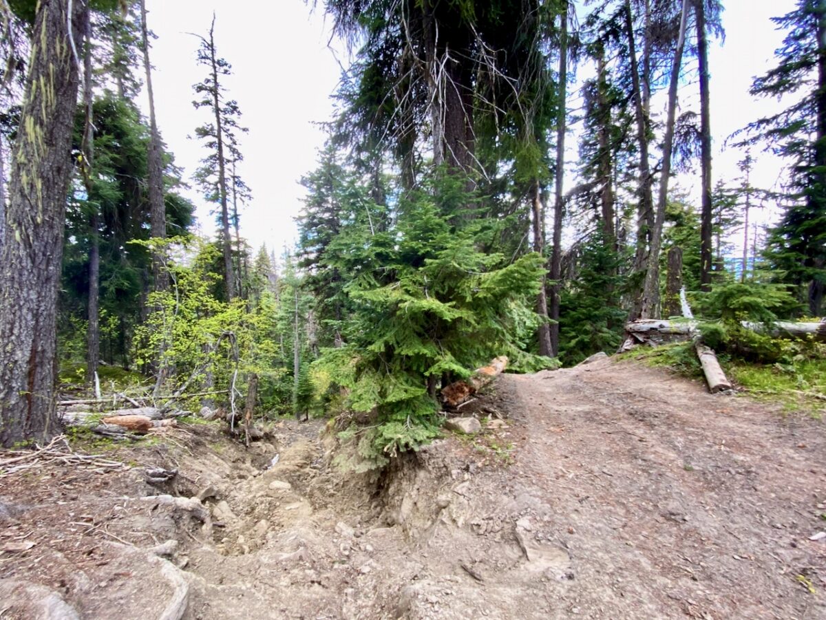
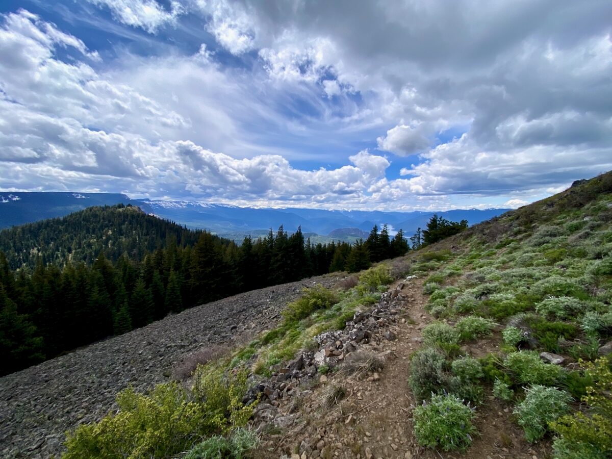
The trail continues through messy forest, and is really beat up from off-roaders. One section making a steep ascent was quite torn up. After that, tho, the trail was in decent shape up to the junction at Louis Way Gap.
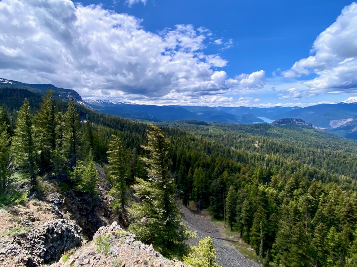
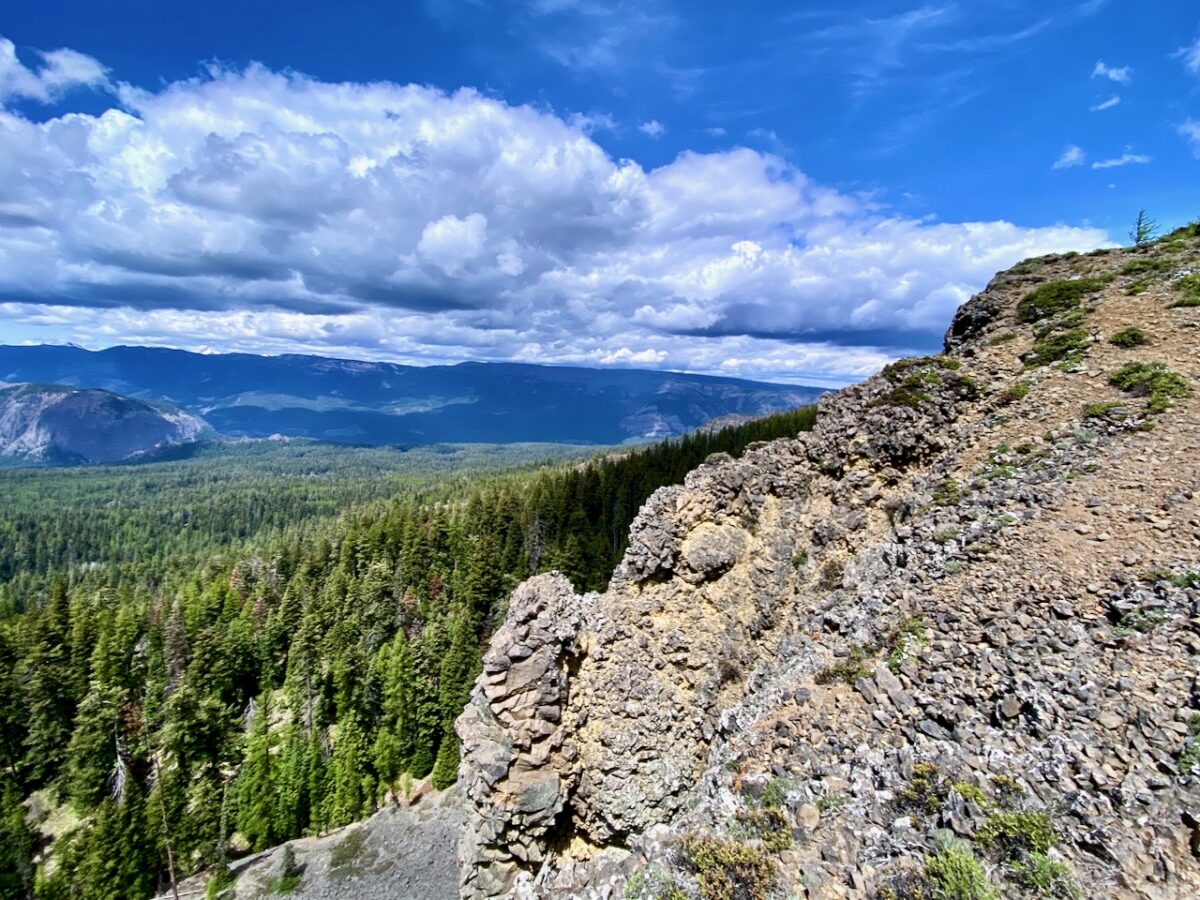
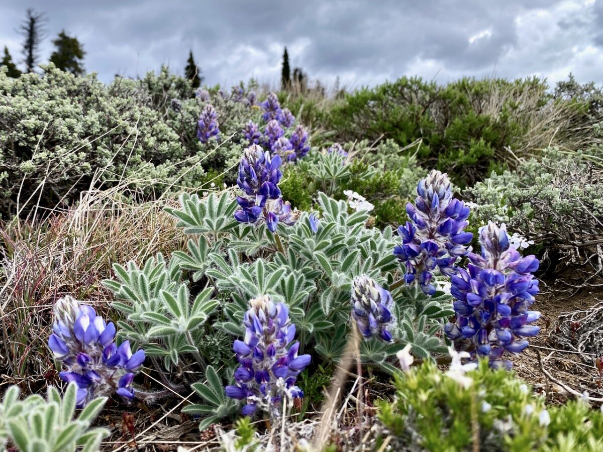
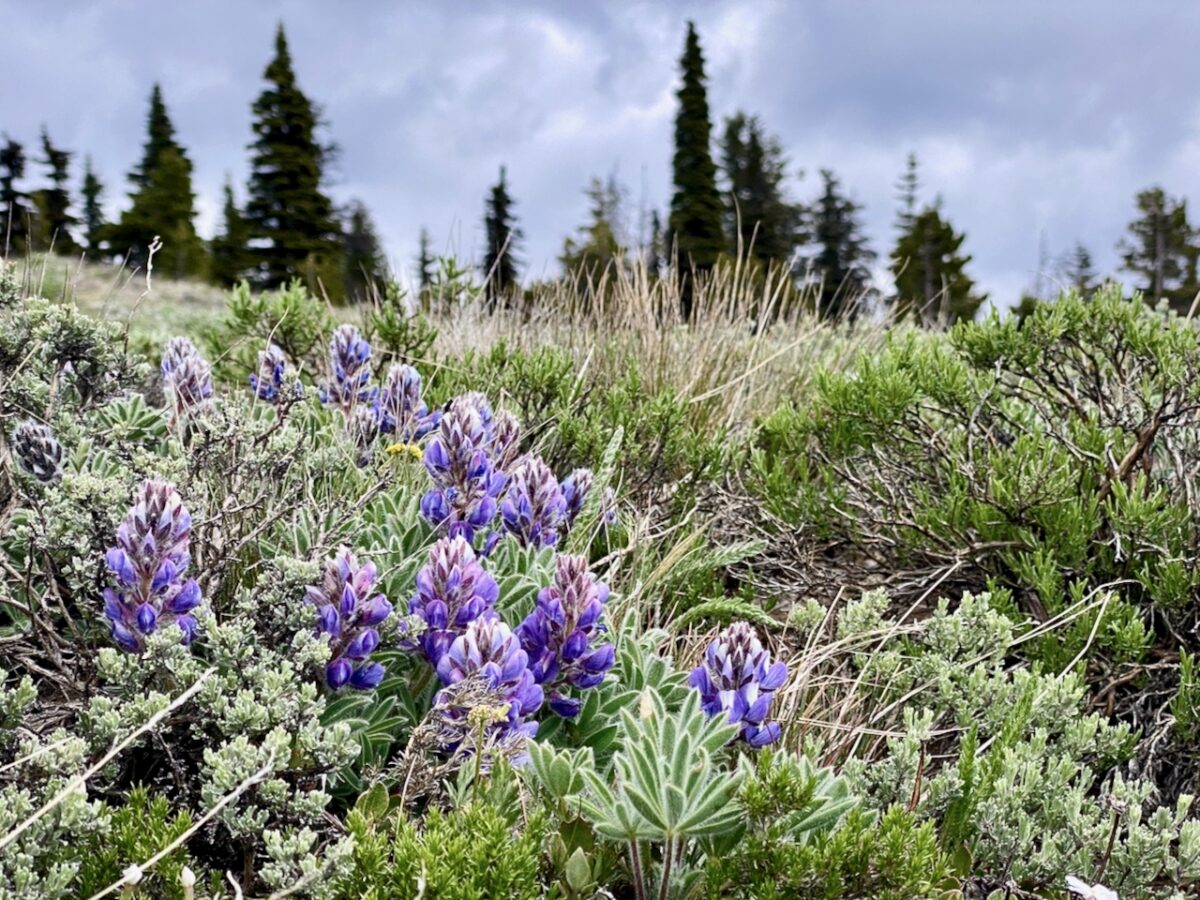
Beyond Louis Way Gap, the trail is in better shape, and passes through some high montane forest and rocky meadows, always climbing. Eventually, the trail breaks out into meadows on the lower reaches of Jumpoff Point were the wildflowers were abundant – as were the butterflies.
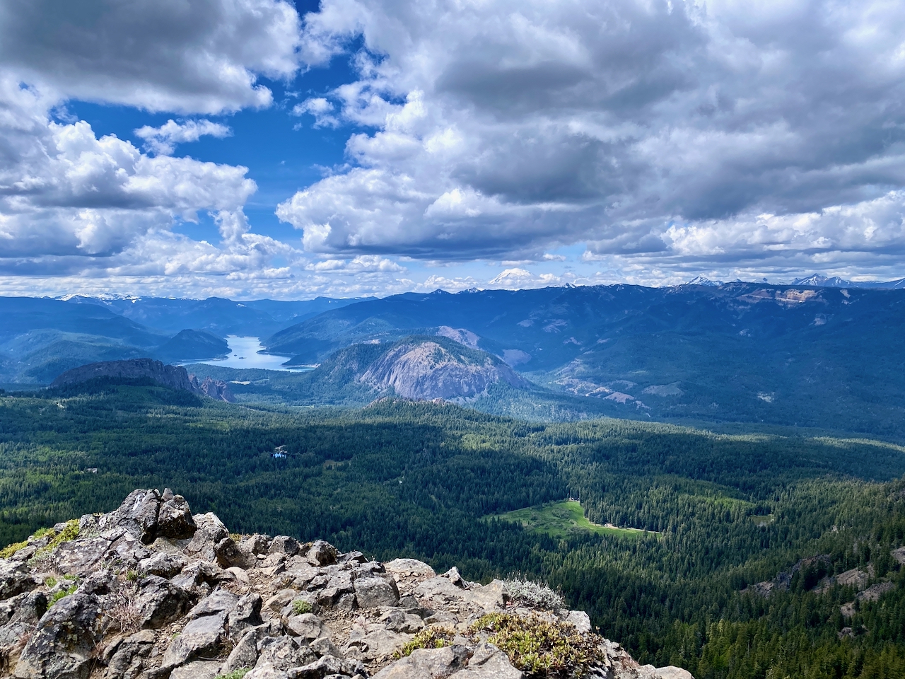
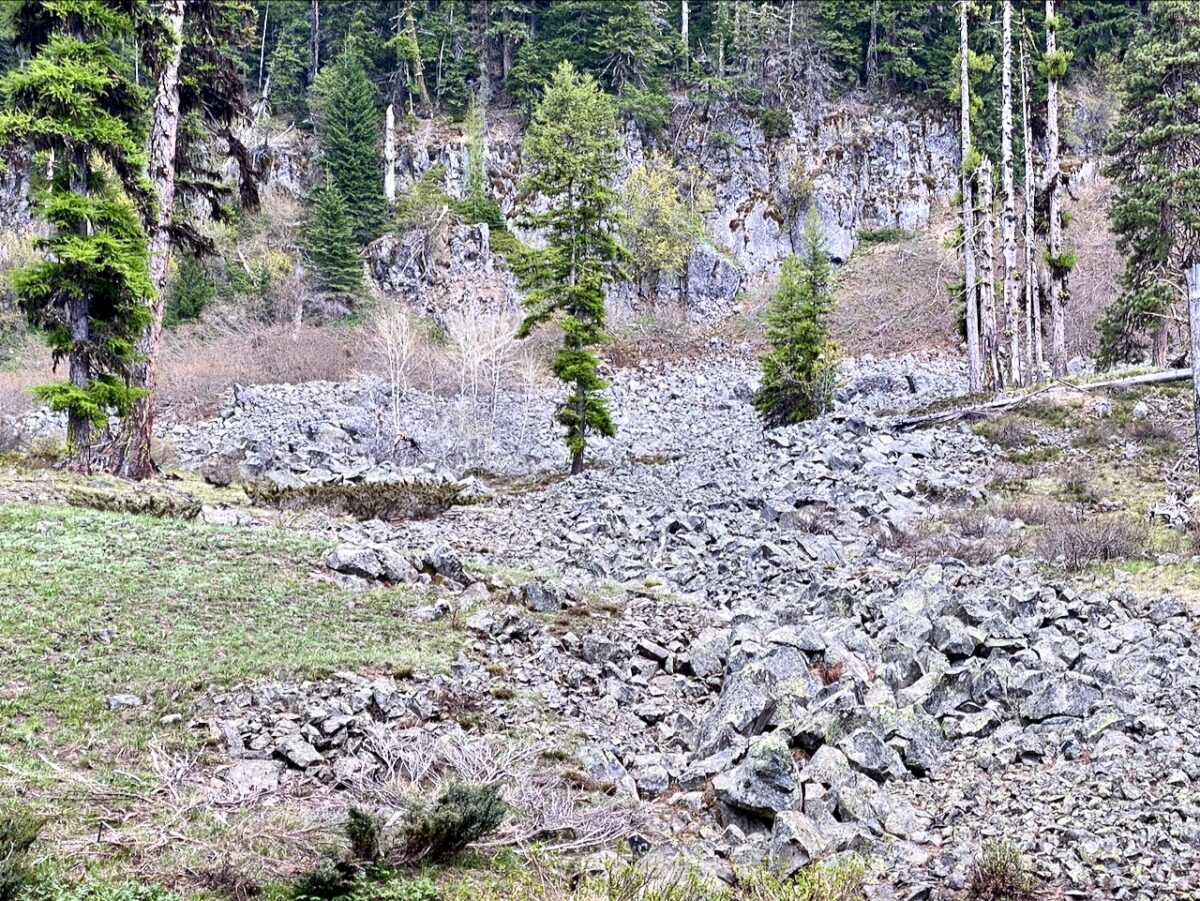
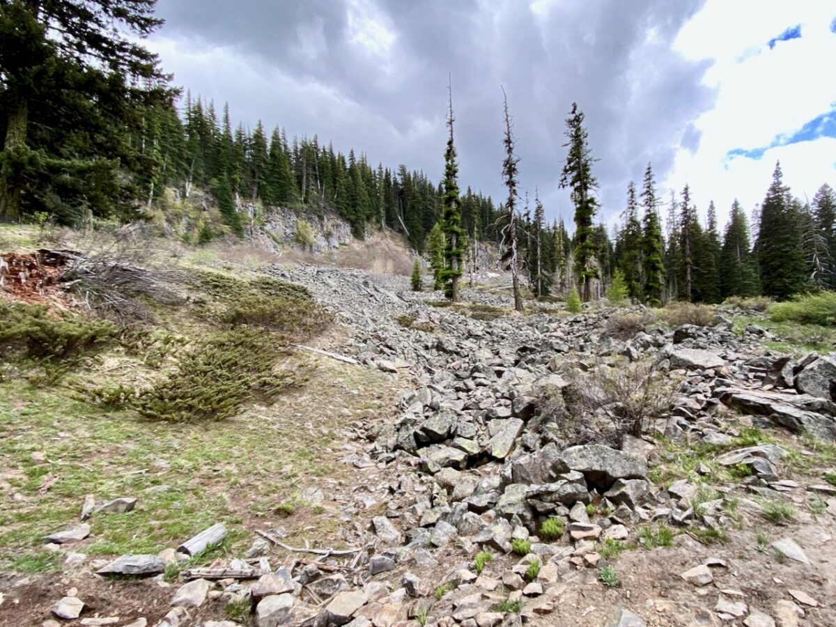
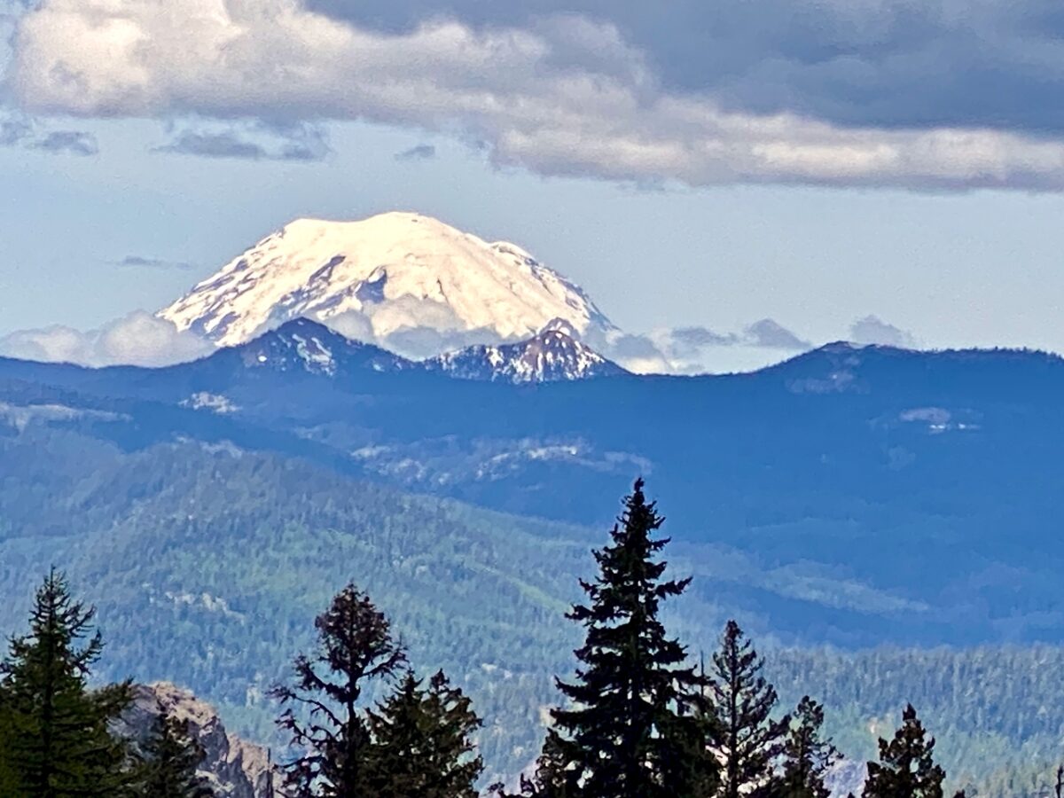
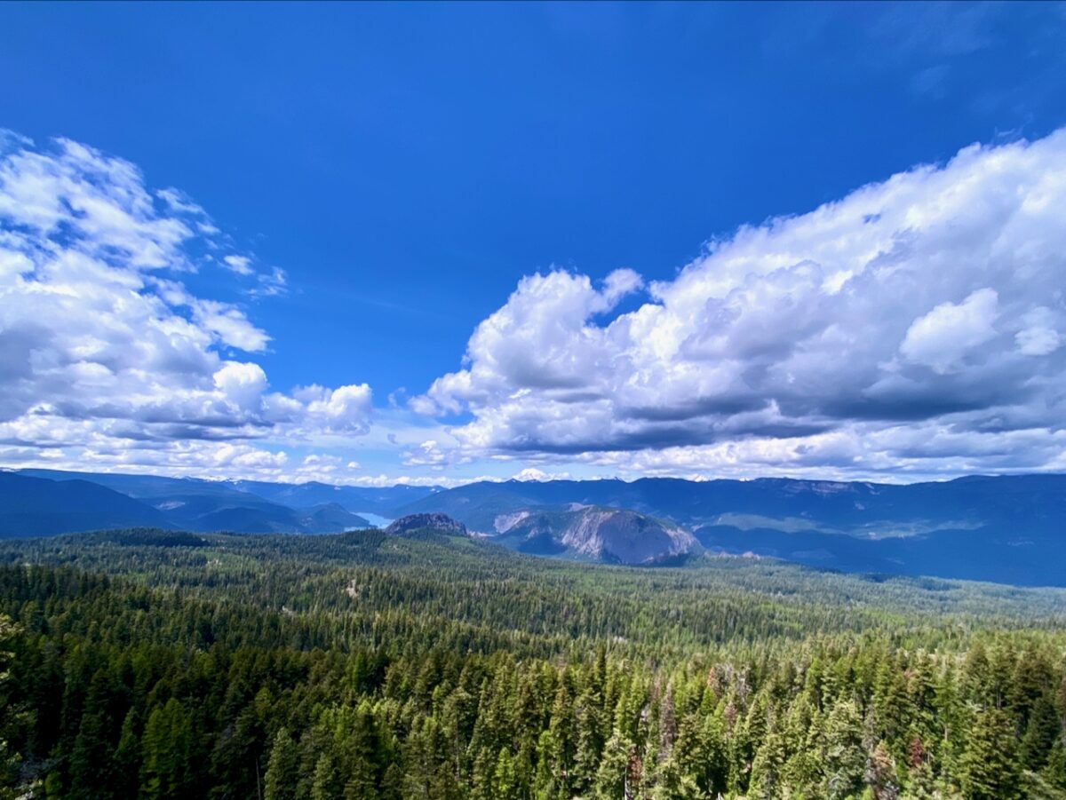
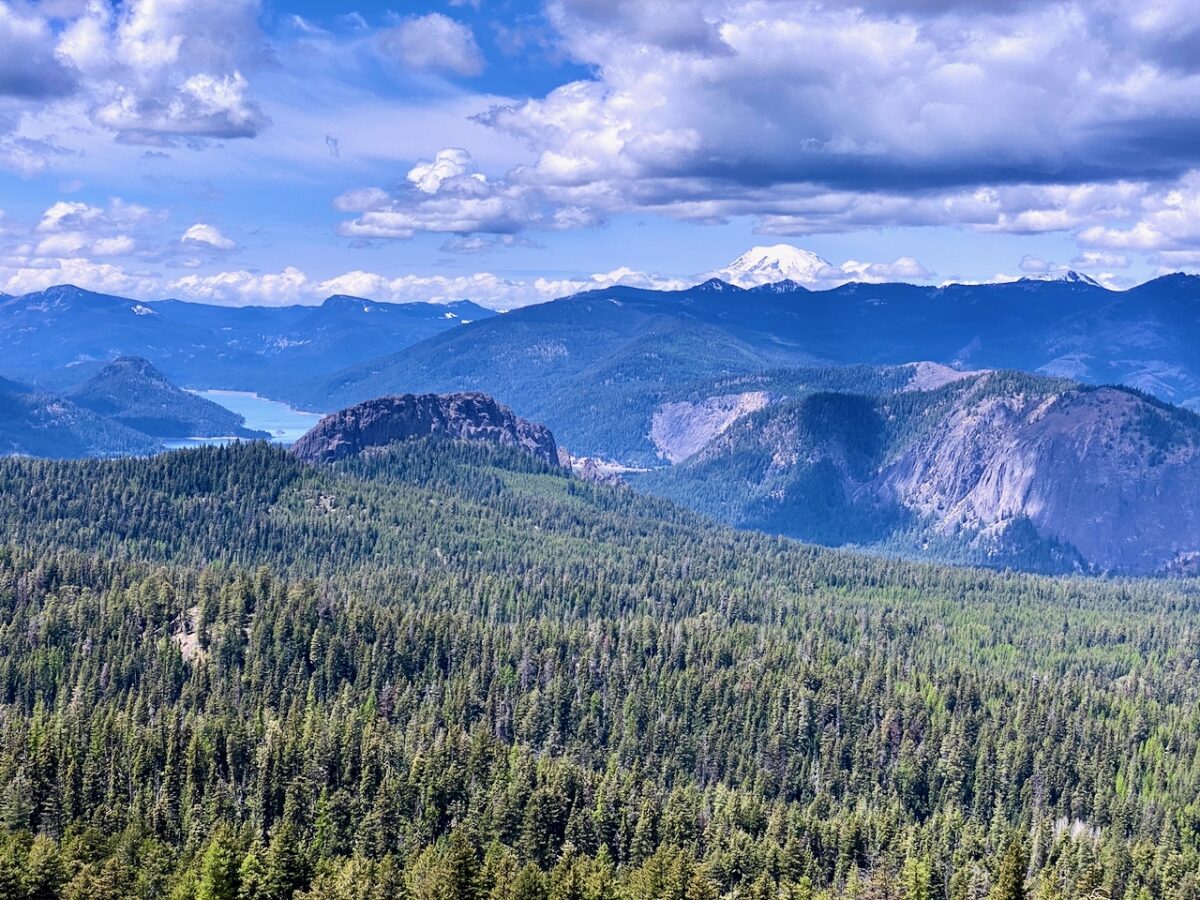
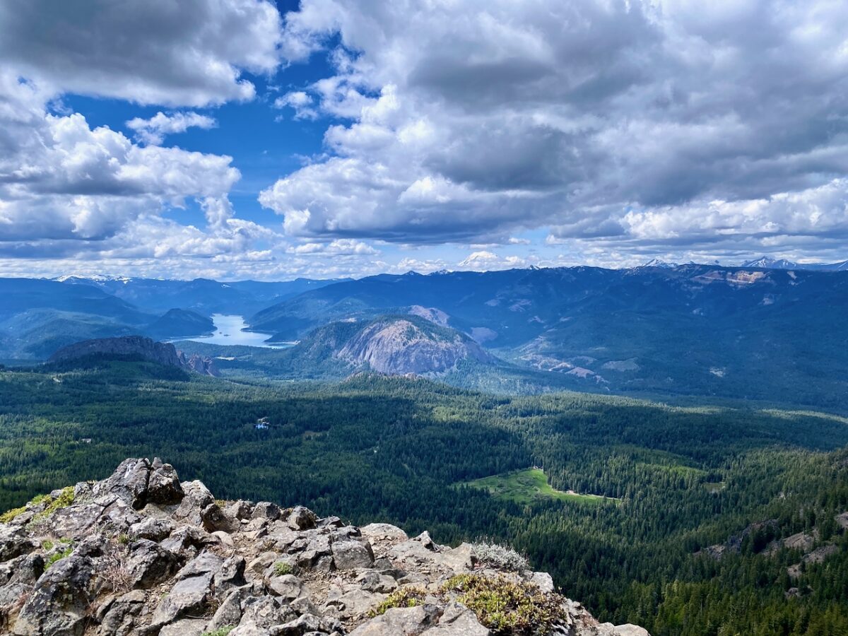
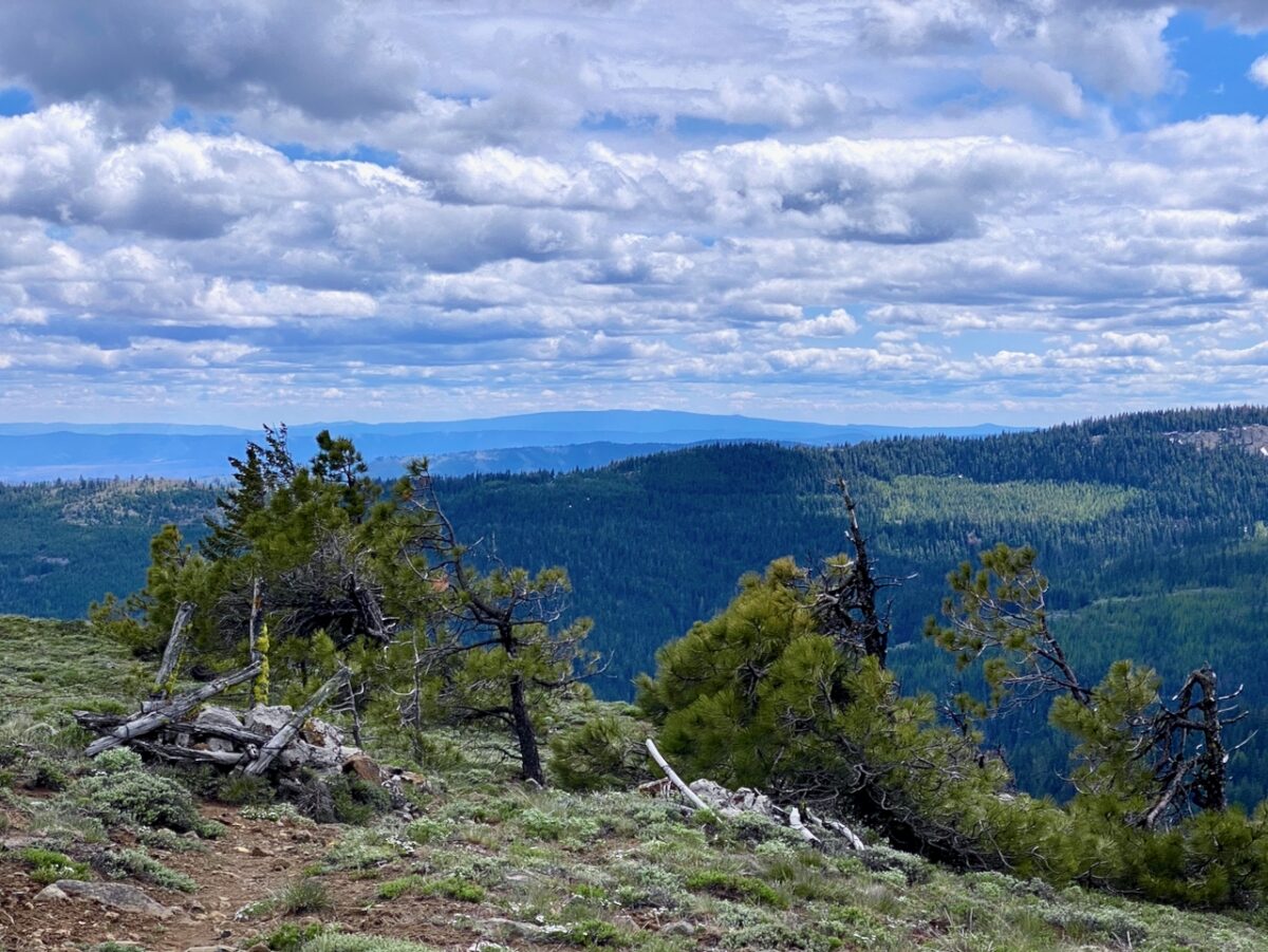
The views from Jumpoff Point are spectacular. From the viewpoint, the cliffs drop dramatically away, so it appears you are standing high above Rimrock Lake, and all of the valley is displayed below. From here, the incredible erosion of the area is quite obvious, as is the sharp edge of the Columbia River Basalts to the south, and crazy geology of “Hammond-land” to the north
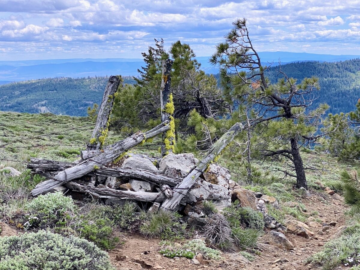
I did not tarry long at Jumpoff Point, and did not venture down to the radio tower and fire look-out, as it was cold and I was a bit worried about time. The trip back was pretty fast and uneventful.
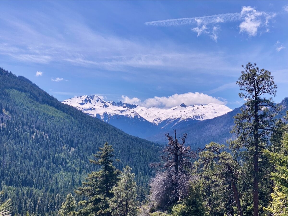
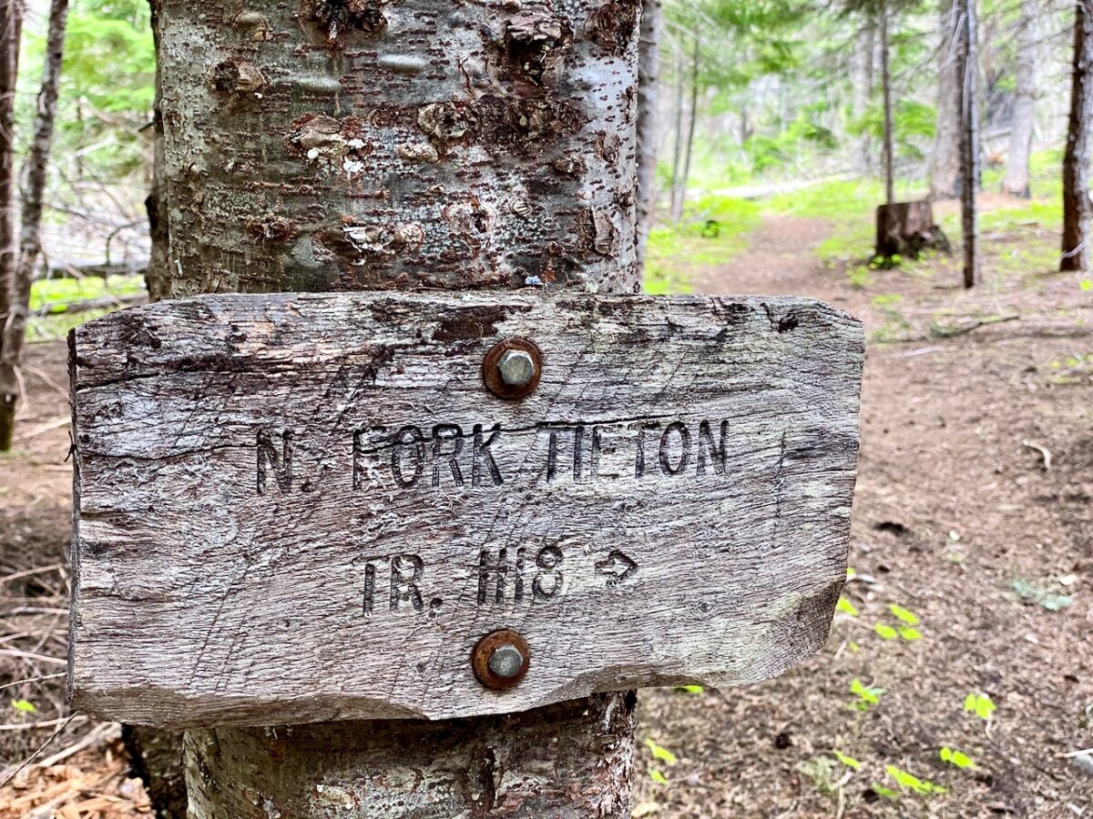
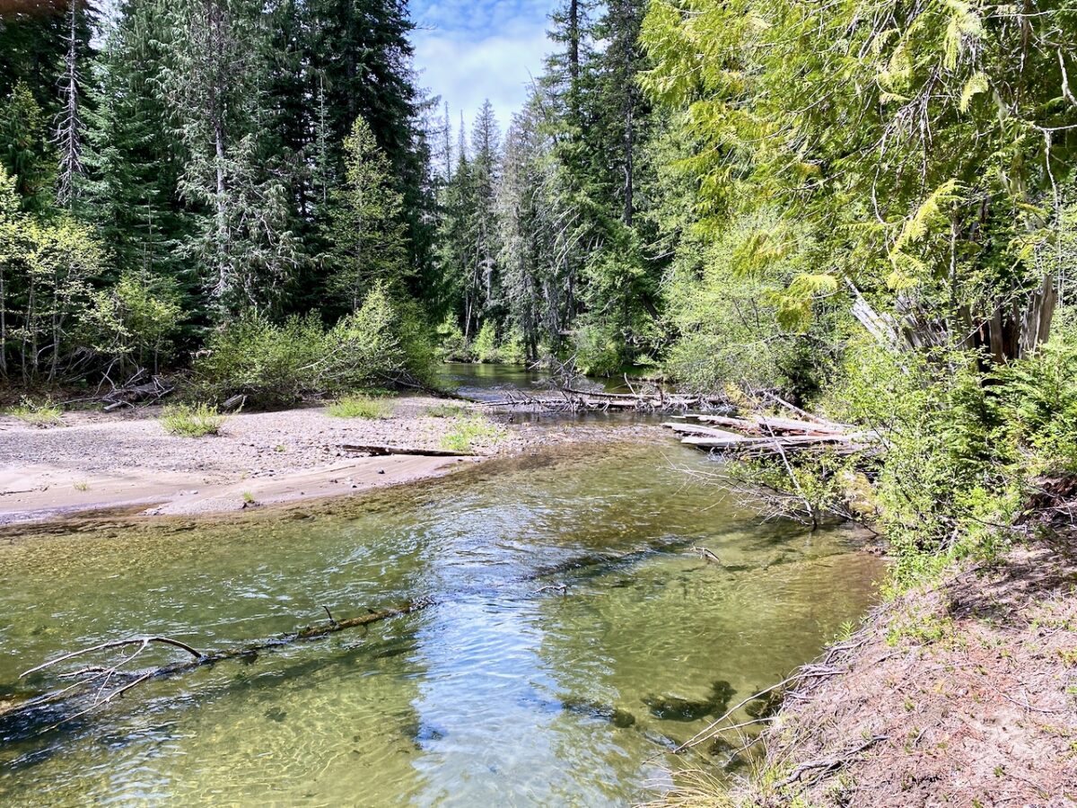


Images taken 5/23/2025 in the NF Tieton River area, and along William O. Douglas Trail, OWNF
All together, I biked and hiked 62 miles w/ 7,993′ elev. gain.
Leave a Reply