
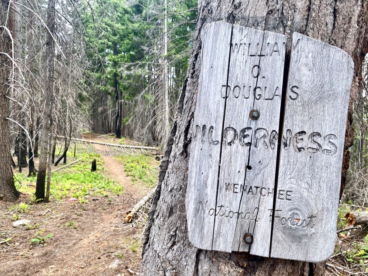
Finally! The high country is starting to melt out. This leg of my exploration of the William O. Douglas Trail finds me setting out from the Sand Ridge Trail head late in the morning and hiking 10 miles in to Apple Lake, high up on the Tumac Plateau.
The trail head is located just off Highway 12 above Clear Lake. When I pull in there is a vehicle already parked, and one pulls in as I am getting ready to set out. Fellow is a local from Yakima, and we chat for a few minutes. Of note, I learn Cowiche is pronounced “Cow-itchy”. I’d always wondered. We chat about the Cowiche area for a bit, then he heads off to hunt morels and I head up the Sand Ridge trail.
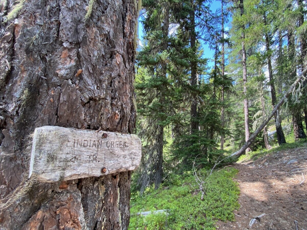
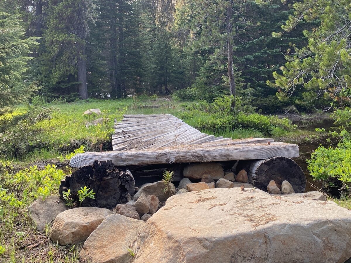
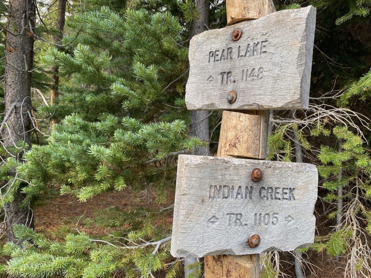
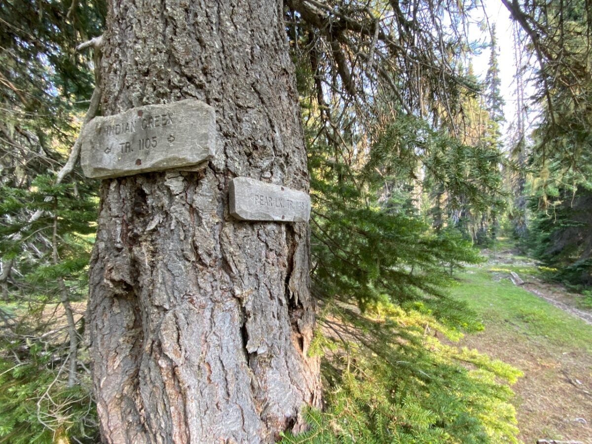
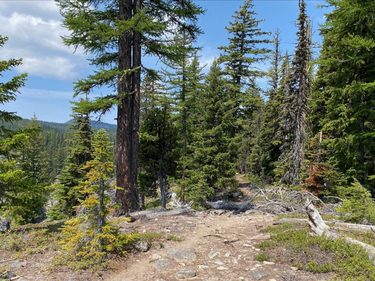
The trail is in fine shape, with some deadfall across the trail, but nothing of note. I reach and totally blow past the trail connecting to Indian Creek, but discover my error after I pass the other hiker out that morning. He and his very friendly dog are returning from a day-hike up the Sand Ridge trail. Checking my map and noting my error, I turn back, find the burned over and mostly-obscured trail junction (the trail is in great shape just a few feet on), and am wet-crossing Indian Creek in short order.
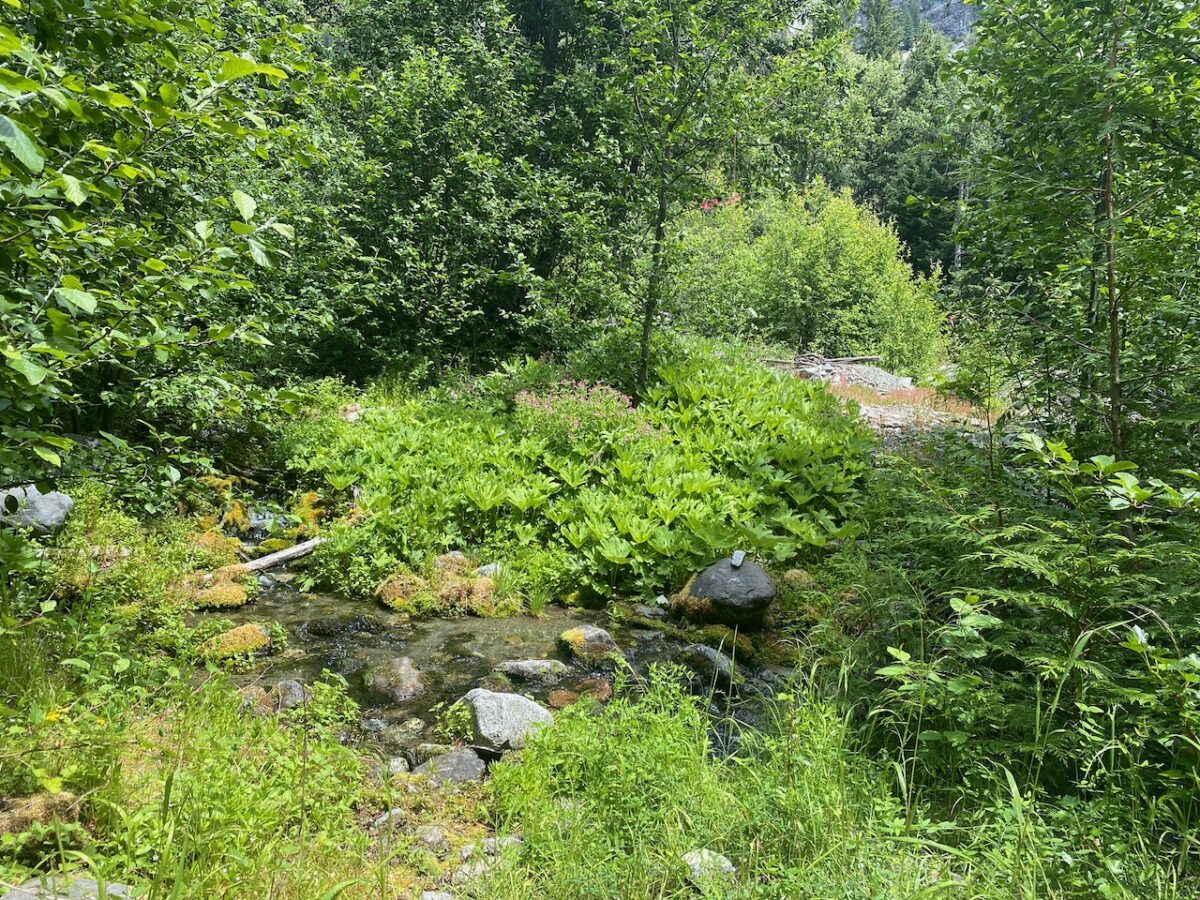
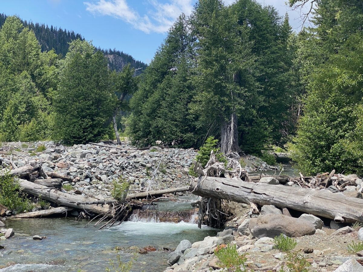
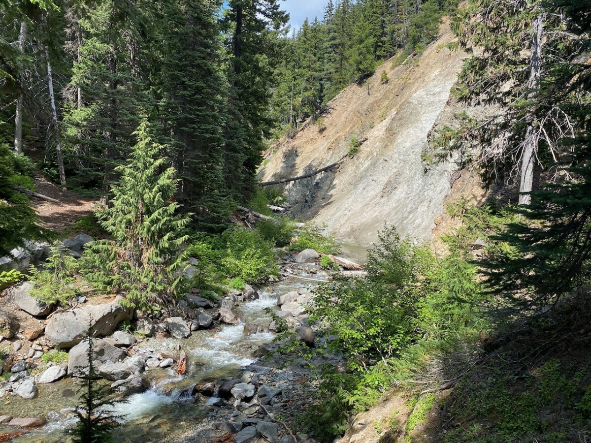
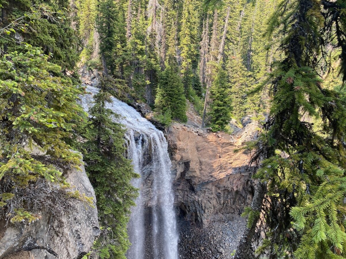
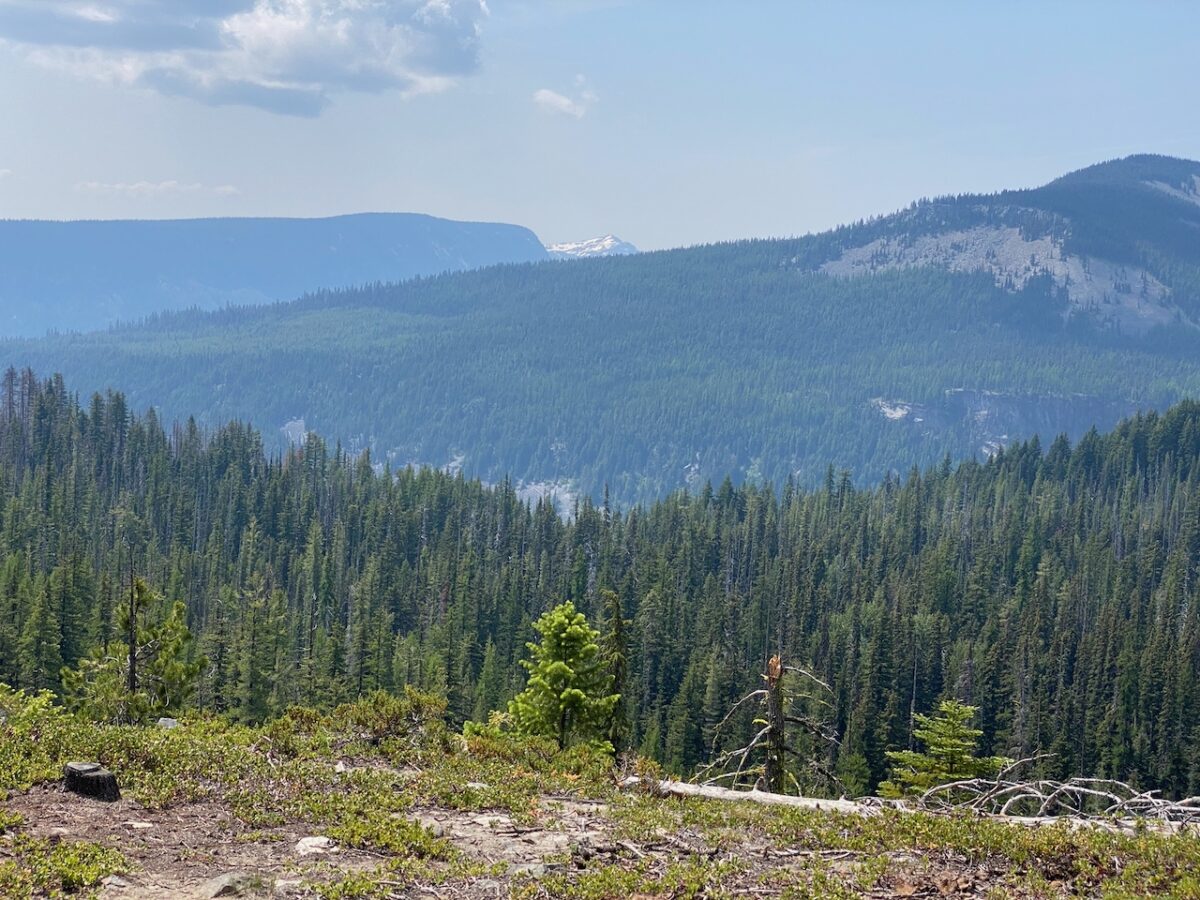
I take a break at Indian Creek, and wow, that water tastes fine. No bugs, but I’m down on the rocks with a mild breeze blowing down the valley. A bluebird day! I continue up the trail, which follows high above the creek for nearly 2.5 miles before dropping and crossing the creek at a very gnarly looking exposure of highly folded, highly eroded granodiorite. As I hike further up the trail to the top of the Tumac flow, I encounter a magnificent waterfall.
Just past that, the McAllister trail coming in from the Sand Ridge trail joins. Then the trail crosses back over the creek to climb gently for about 1.5 miles through forest high above the creek.
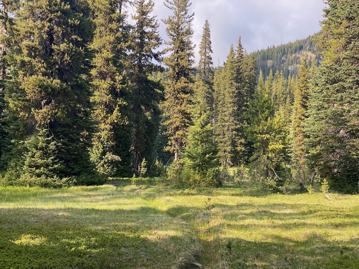
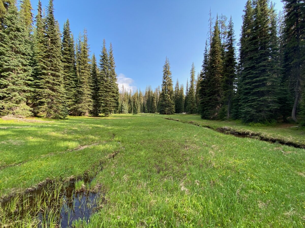
The trail crosses the creek again to reach a more open parkland setting, and the Rattlesnake trail intersection. I hike down the Pear Lake Loop Trail, but it is snowed out after a short distance. So I head back to the intersection to cross NW over wet meadow, to the Pear Lake Loop Trail, which I follow along Indian Creek to Apple Lake.
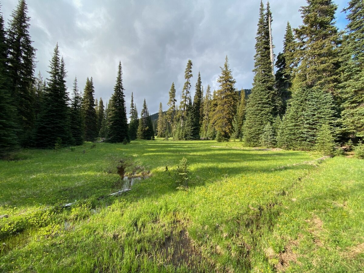
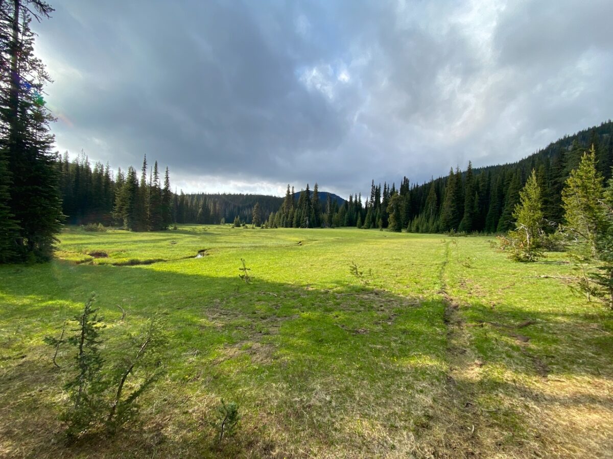
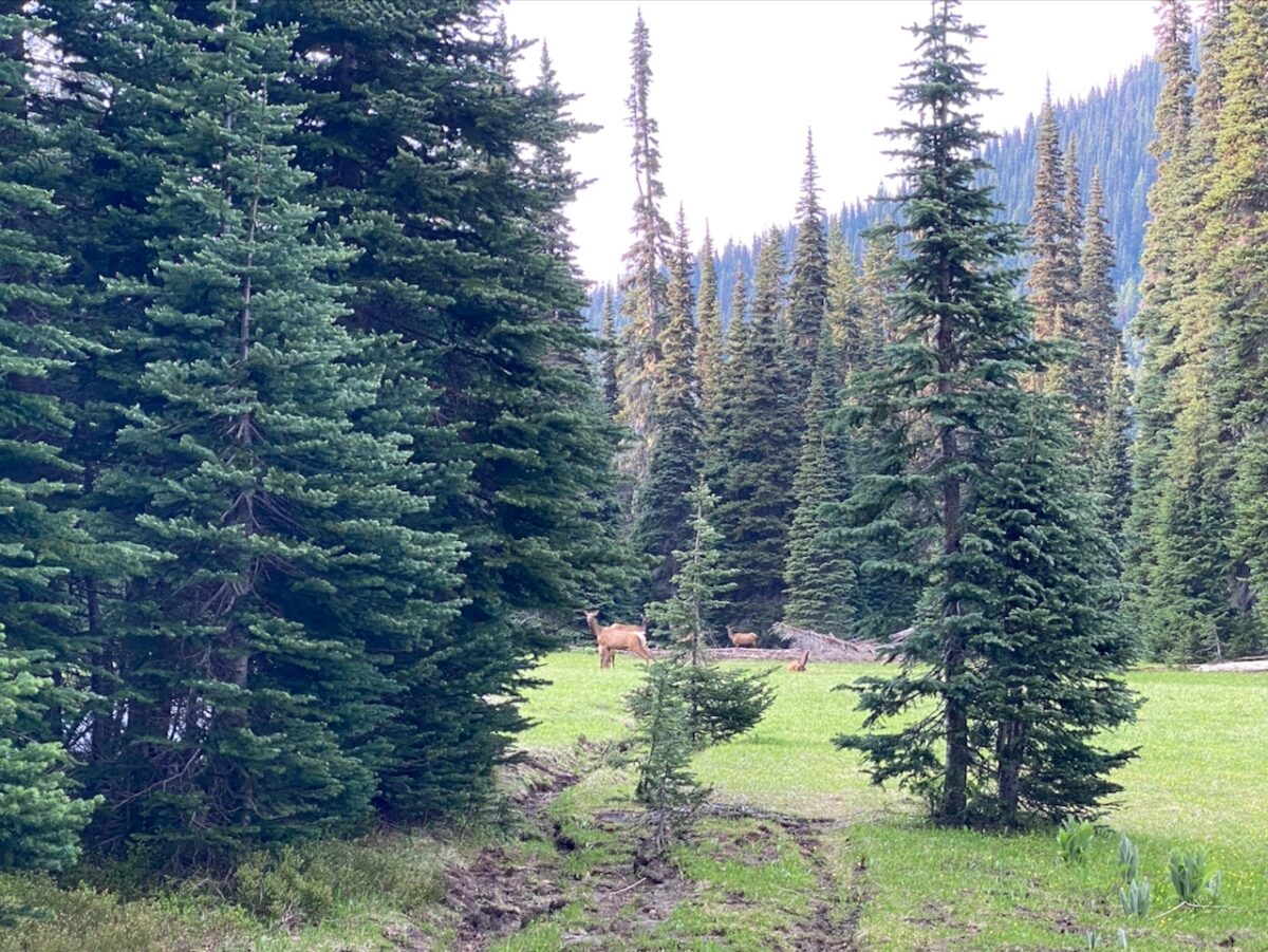
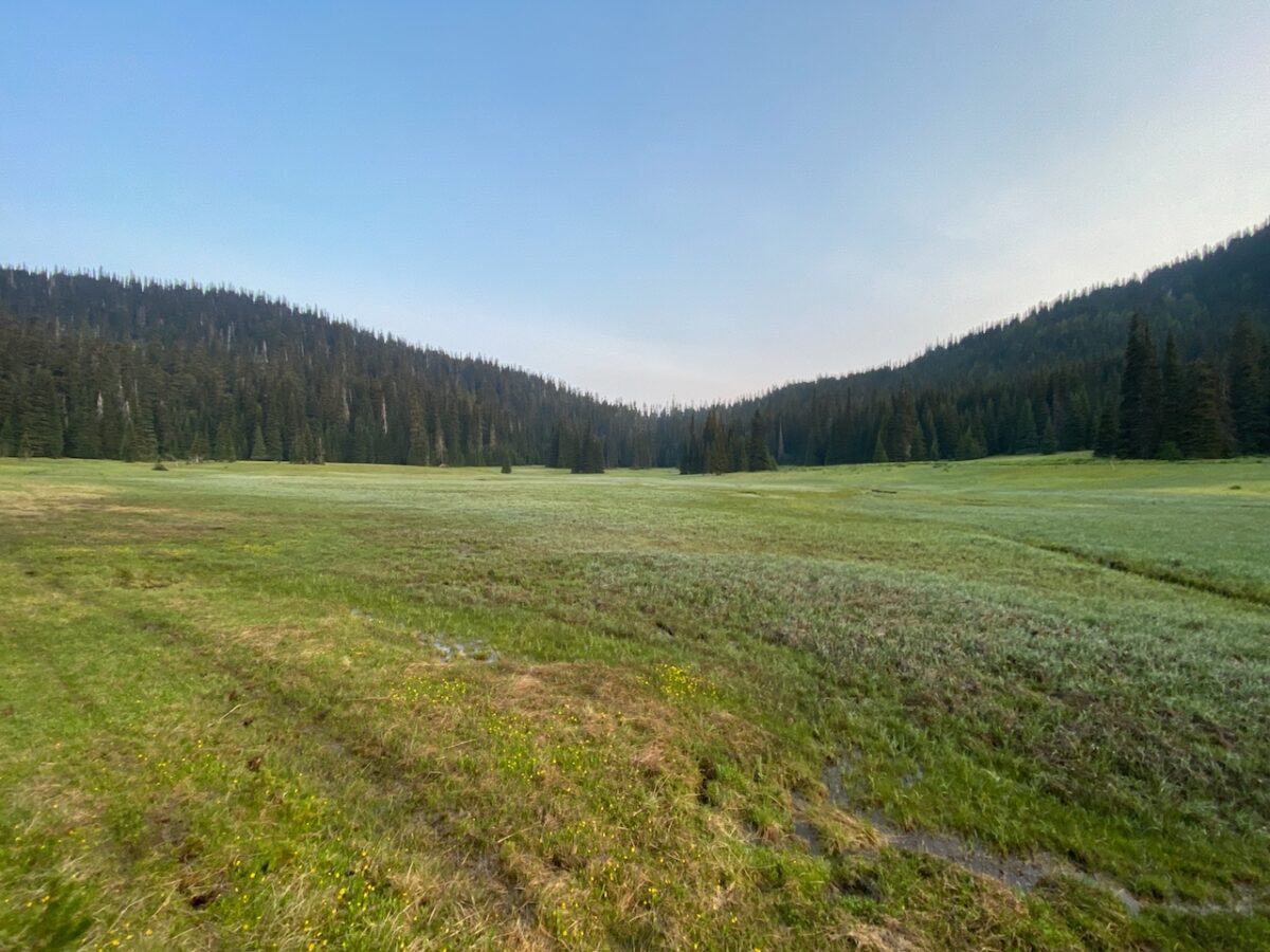
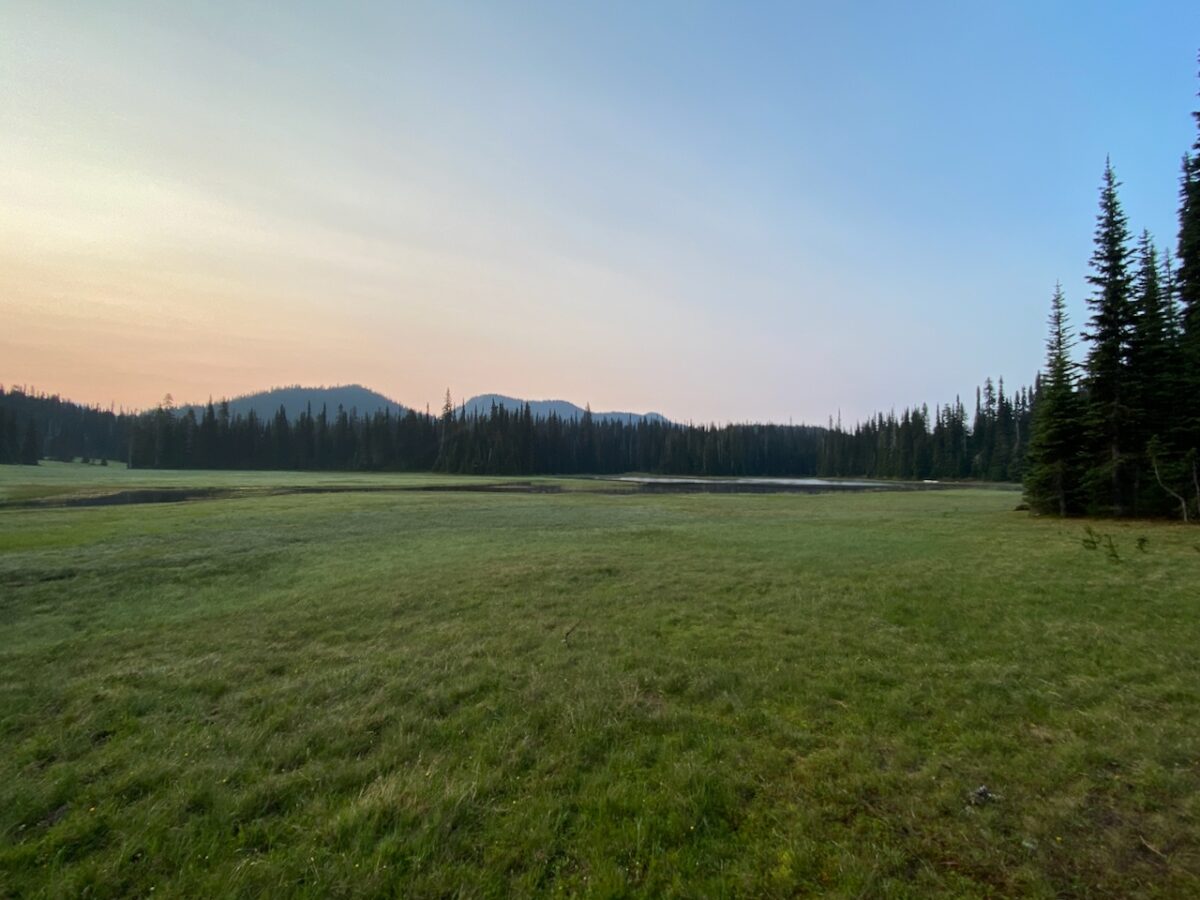
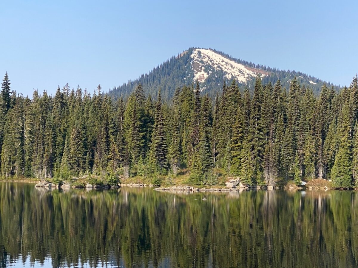
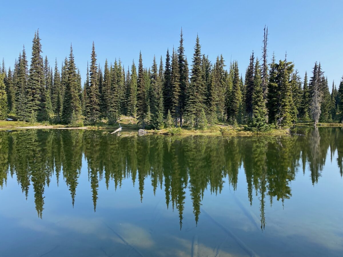
Apple Lake is set amongst large wet meadows. It’s a stunning location. I explore the “shore” line – that is, the line where the ground dries up and the grass changes to small shore plants before transitioning to forest. If you simply imagine the grass as water, it all makes sense. In fact, the ground is so wet I sink inches into the ground when I go fetch water from the creek out in the middle. (And the water is tannic, and not so tasty for drinking.)
I locate a campsite with a great hang to the NW of the lake proper, looking out on the vast meadow, with Pear Butte in the backgound, and by 8:00 PM am sitting down to a dinner of chicken and dumplings. The fading light after dinner makes for a gorgeous sky, and as the light dims, a young bull elk takes up position in the creek far out in the grass where he can easily see my camp, and makes all sorts of noises at me. He knows I am here, and who I am, and he isn’t having any of my shenanigans, whatever they might be. Around this time, a Wilson’s Snipe begins calling out from every direction around me. I get the sense he is circling over my head, lighting on each tree in turn to call out briefly. Such a weird call. I never do lay eyes on it.
I wake early, before 6:00 AM, and even after a leisurely start (are there any other kind any more?) camp is broken and I am on the trail by 8:00 AM, retracing my steps back to the Indian Creek Trail, which I follow to the Blankenship Lakes trail. The lakes are completely melted out, and fish are jumping. The trail is chock full of elk prints, and while I see no hiker bootprints in the mud, I do spy a couple of canine prints in the mud. I doubt they are from a dog, and it certainly isn’t a coyote. I consider taking a photo, but feel the prints wouldn’t photograph well, so I continue on, looking for a better opportunity. Which doesn’t happen. So… is there a gray wolf up on the Tumac?
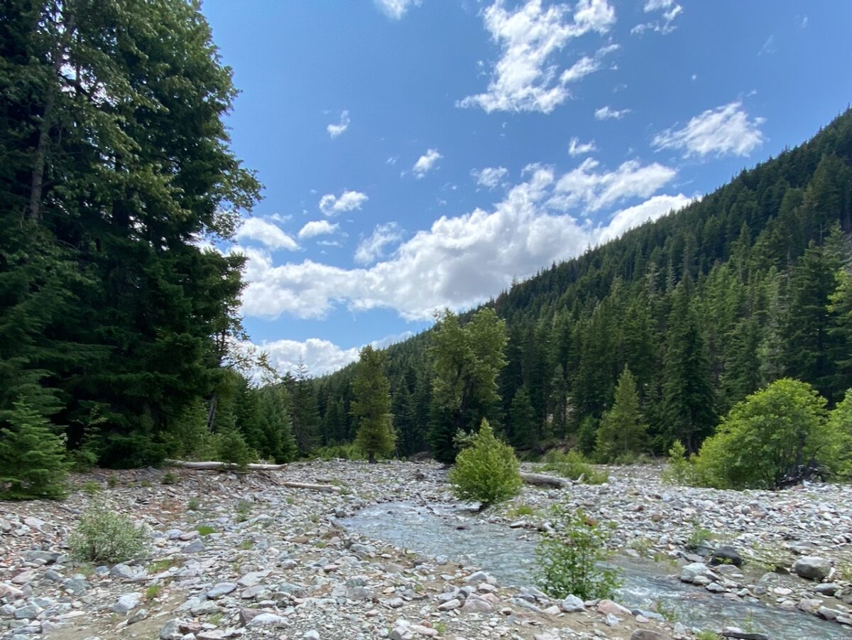
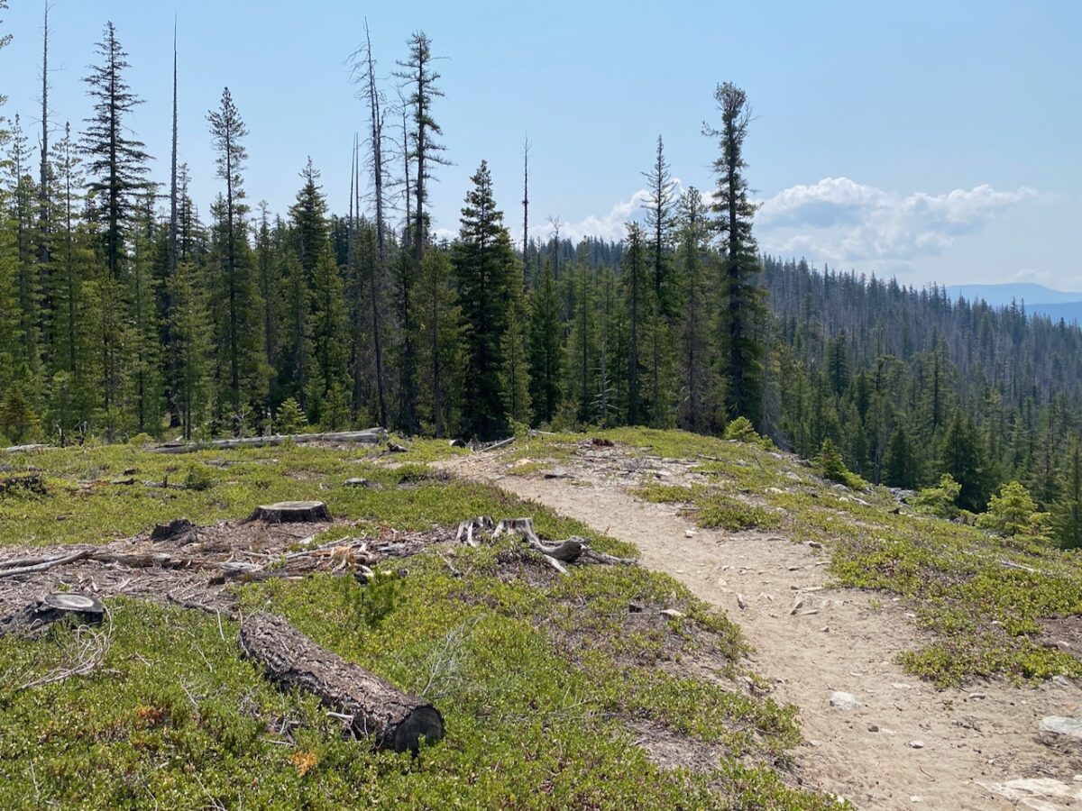
Not too far past the 2nd Blankenship Lake, the trail hits snow, and shortly thereafter, its a matter of routefinding to stay oriented. This continues until the Sand Ridge Trail junction, but the trail melts out for the most part after about 1/2 miles. It’s an easy hike out, and after taking a break at the Sand Ridge / McAllister Trail junction, I get back to my truck before 2:00 PM.
Images taken June 22-23 along the Indian Creek, Pear Loop, Pear Butte, and Sand Ridge Trails, OWNF
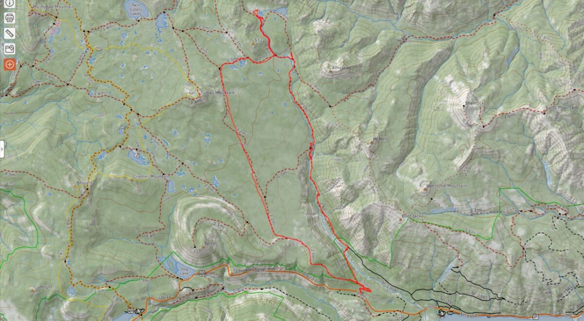
20 miles hiked w/ 3,139′ elev. gain.
Leave a Reply