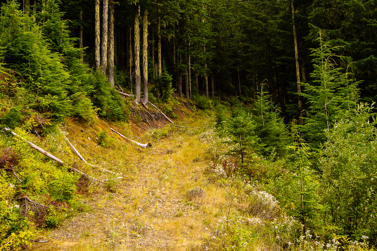
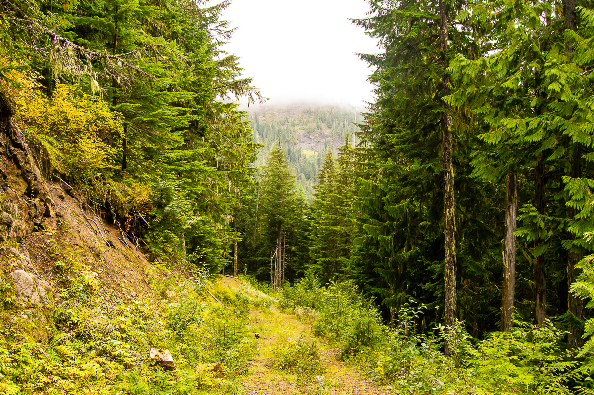
Davis Mountain rises over the Big Bottom Valley immediately north of the Cora Bridge, and is accessed by Carr Rd, which turns into 1256 Rd a couple of miles up. The road is permanently gated, but maintained, and climbs its way up the south face of mountain then the north face, before coming to an inglorious end below the summit line at a recovering clearcut.
This past Monday, I parked at the gate, filled my water can at the nearby creek, and set off with my bike for the summit, and The Pothole – a geographic feature marked on the map, but not discernible via satellite imagery. I’d never been up there, so I had no knowledge of what I would find.
The road is in good shape, there’s been a bit repair low down, in the first mile. I rode and walked (mostly walked) my bike all the way to the cross-roads at the summit, about 8 miles, locked up, and walked down to the pothole.
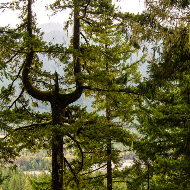
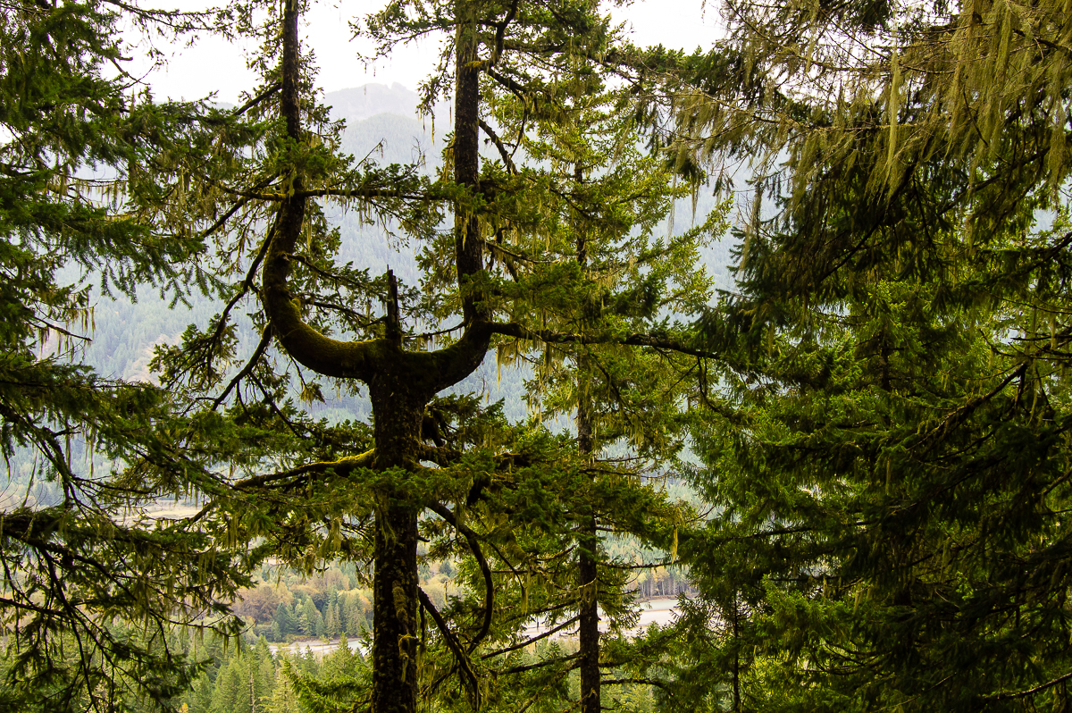
The pothole is simply a very small meadow – likely a small pond many, many years ago. Now, it is grown in a with grasses, surrounded by berry bushes, and ringed by old 2nd-growth. A trail takes off from a side road – while hard to find from the road, I did find and follow it back from the meadow. One can see a small, dry stream tracing an outlet flow. It was dry this time of year, and the channel was really more a series of pits amongst the tree roots, obviously not enough water year round to keep the channel open. The forest here is relatively open and inviting, and good campsites could be had along the low ridge that bounds the Pothole.
Another good campsite was found alongside Karr Creek down on the road (yes, the road is ‘Carr’, the creek is ‘Karr’…), and the stream appears to have good flow all year. I may go back to camp sometime.
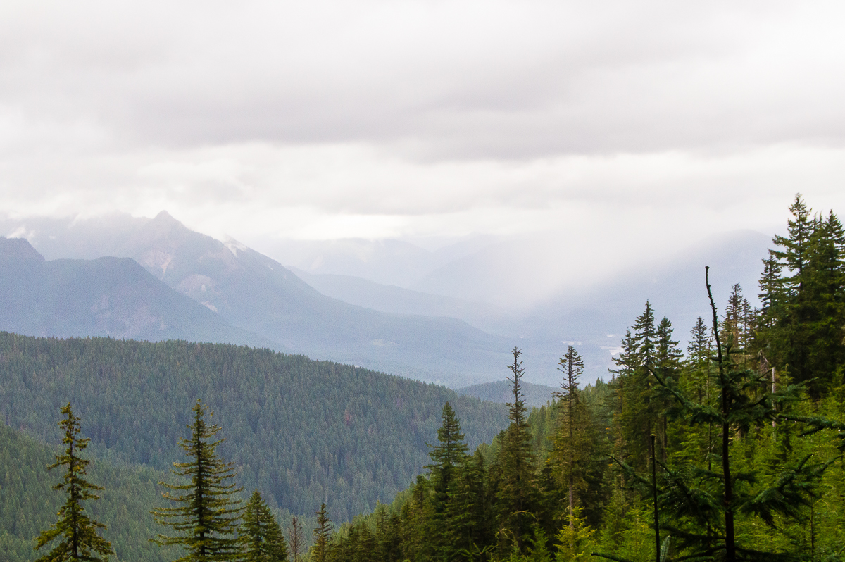
Having wandered about the Pothole, I returned to my bike, and continued along the main road to the end – it wasn’t far, but did provide good views of the headwaters of the SF Willame Creek, altho I was unable to find access to the creek itself. The road ended, as they so often do, at a pile of de-roading debris and tightly-grown young alder.
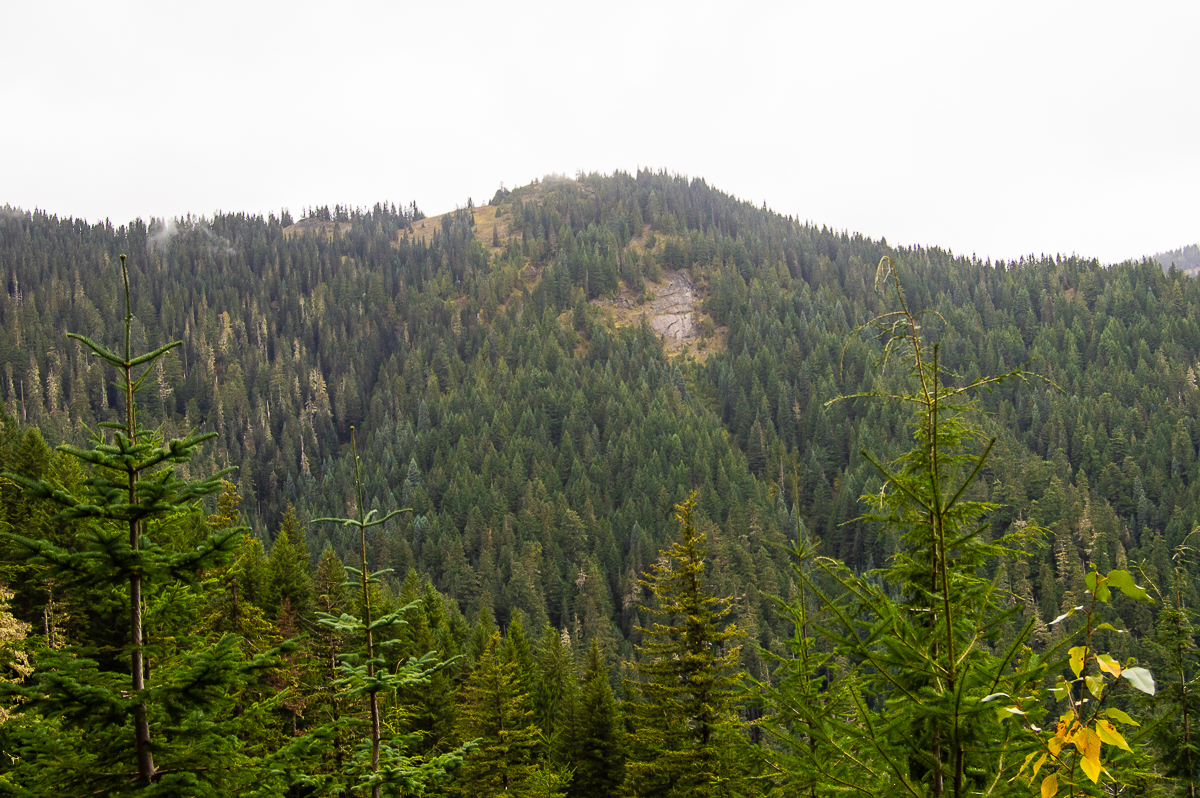
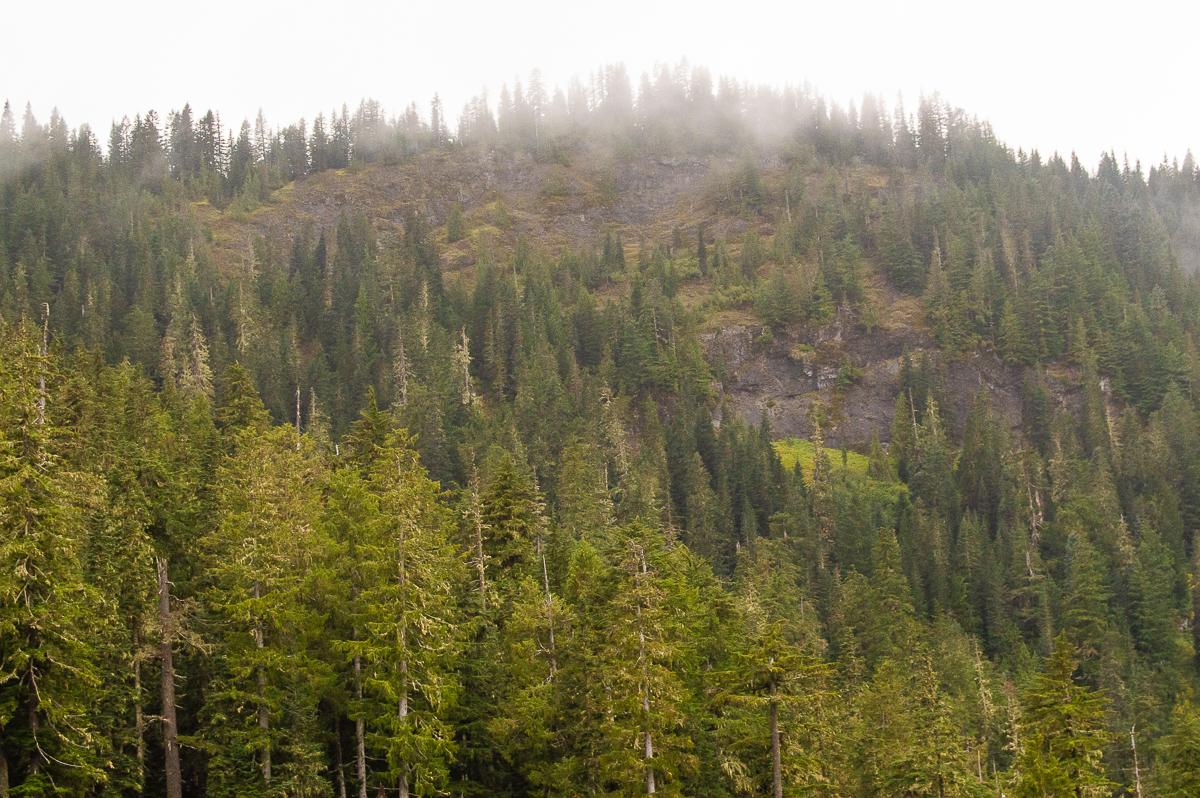
The headwaters area is rather interesting with lots of cliffs and small vertical meadows. The ridge line of the mountain is very rocky and exposed – and I totally wanted to wander along up there. The autumn colors have not yet gotten a good start, and the palette was rather subdued.
I saw practically nothing for wildlife, but there are elk and black-tail deer up there. Flickers galore, but I saw no woodpeckers. Up near the summit intersection, I saw a number of ground burrows dug into the soft volcanic soils – the holes were at least 6″ across, with multiple entries. There were actually a couple of burrow sites up there. I wonder what made them?
Leave a Reply