Having left Summit Creek and passed thru Packwood, I hung a left at USFS 20 Rd, the Smith Creek Road. This road winds its way up into the mountains south of Hwy 12 a few miles before town. The road is long, and entirely passable. I was too busy drinking dirty chai to make good time up the road, tho, as I focused on avoiding potholes. Nearing the top, not too far from Jackpot Lake, I surprise a giant billy goat as he walks down the road to a waterfall. He was huge, very muscled and gleaming white. We both stop, stare at each other, then he turns about and begins to lope up the road – directly where I needed to go. I felt bad for him, as he kept stopping to look back, then would lope up the road some more. I followed him for roughly an eighth of a mile, staying well back so as not to distress him too much, but pushing forward. He eventually dived into the trees above the road, and I was able to get past. I didn’t see him again.
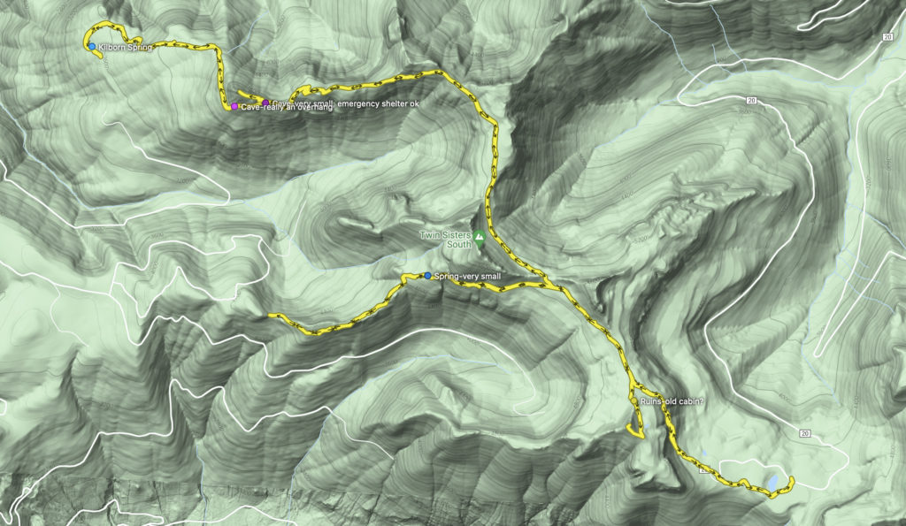
I parked at the Jackpot Lake trailhead, and immediately set to fixing breakfast and studying the maps. I am concerned about water sources and campsites. Ultimately, given that the area I’m at is ridge top, and water will be very scarce, I decide I’ll be camping here at the trail head and day hiking.
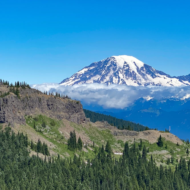
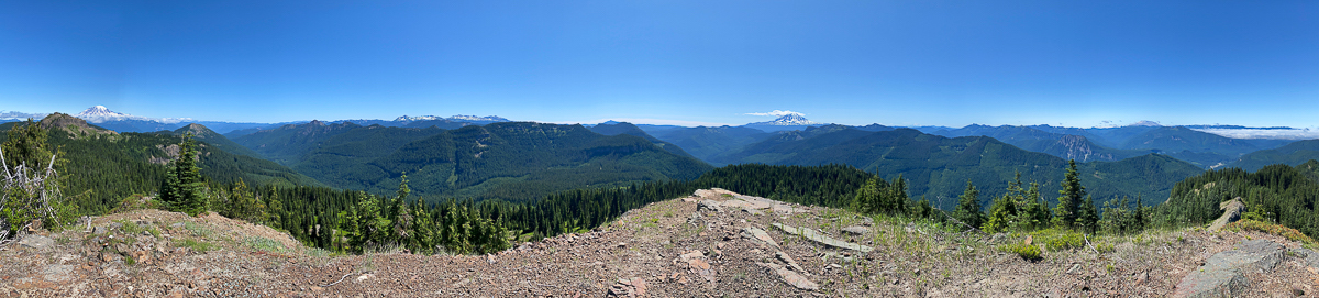
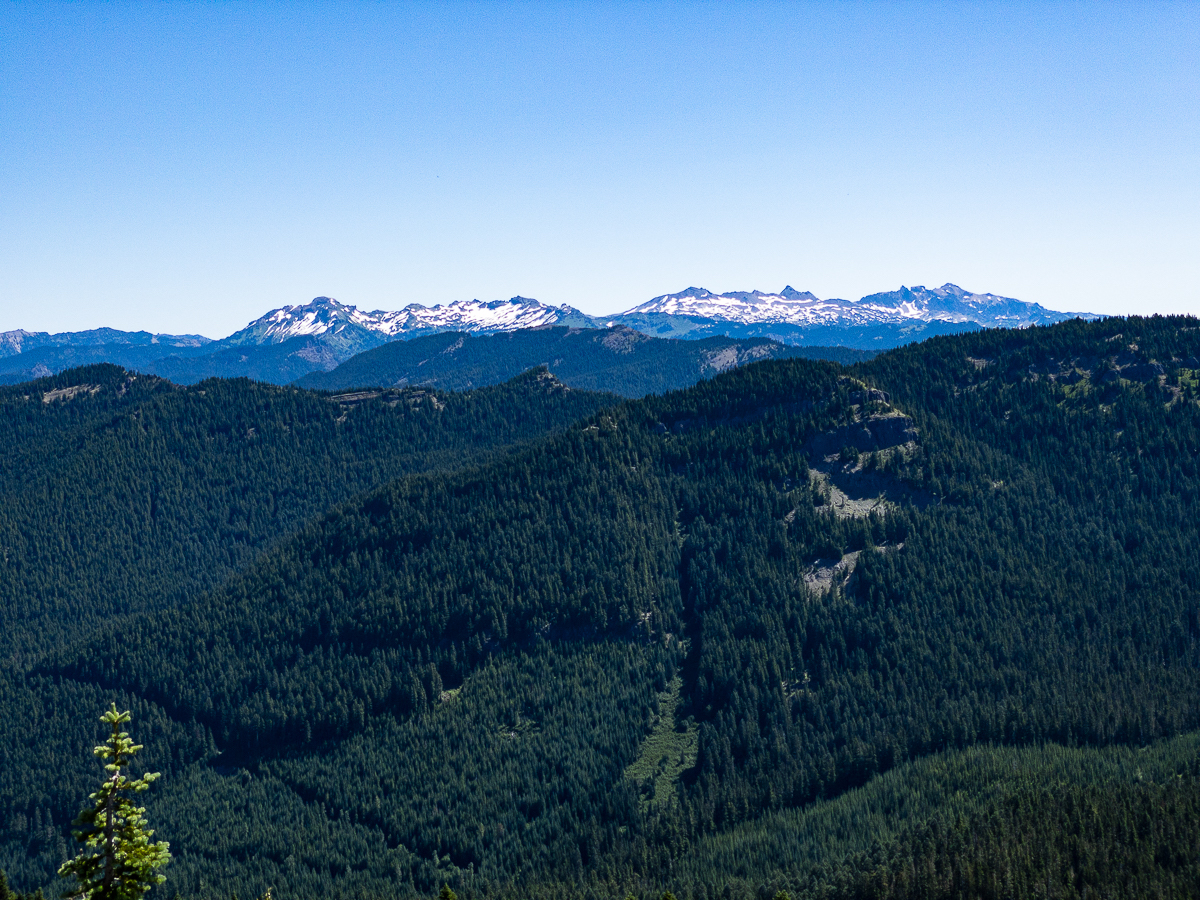
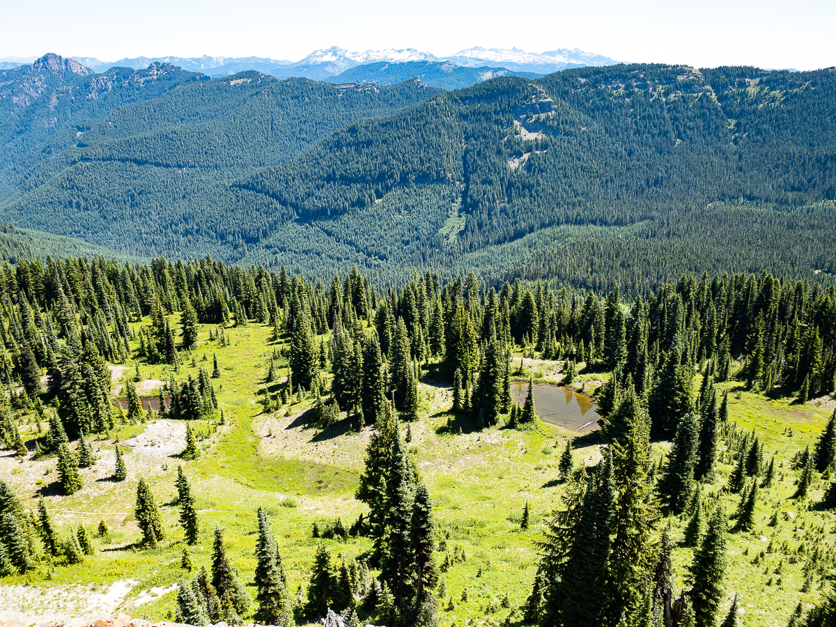
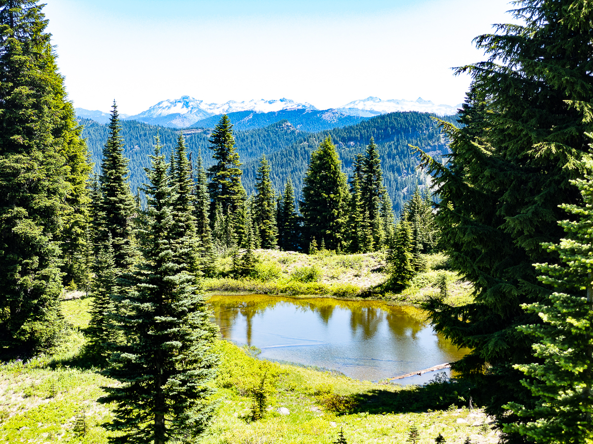
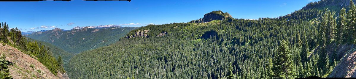
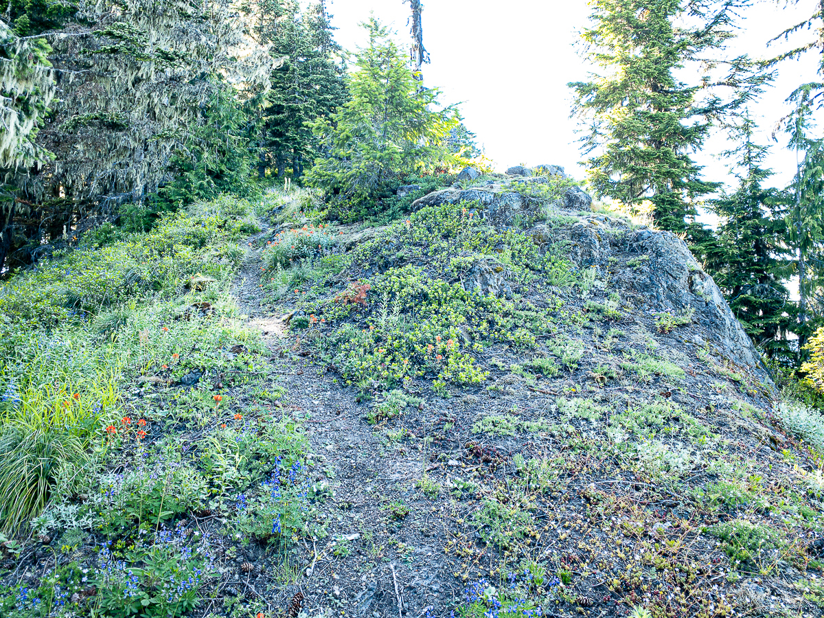
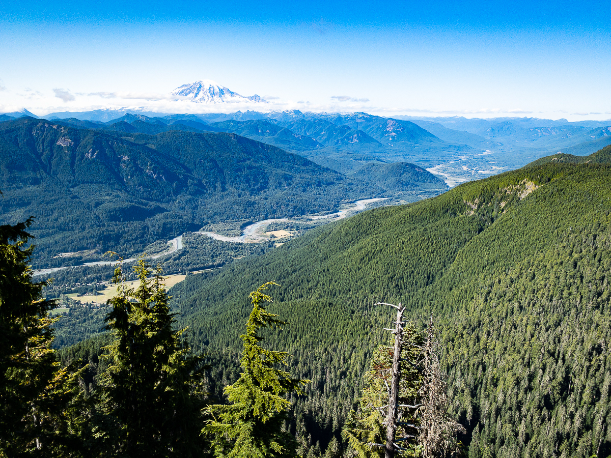
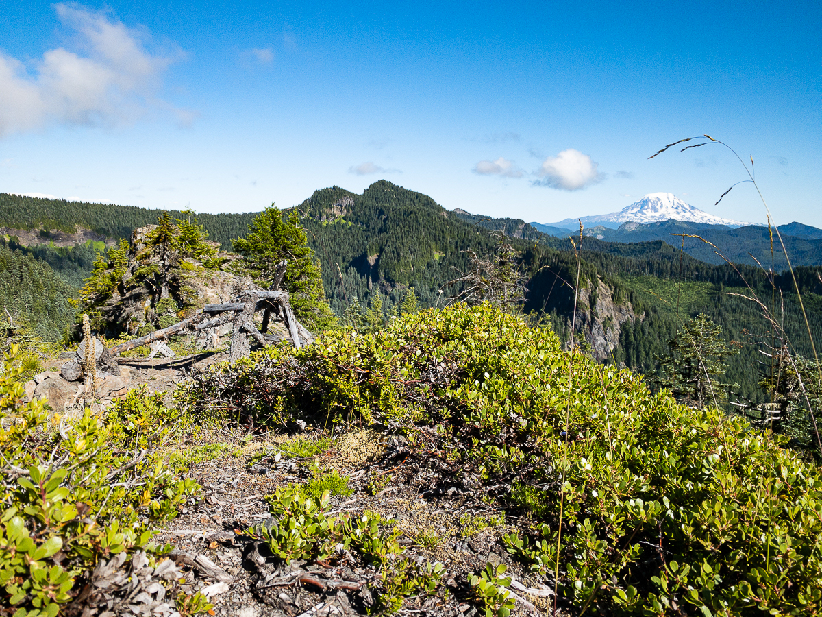
I set off down the trail, heading south and passing by a very stagnant Jackpot Lake, then swinging west on the Klickitat Trail #7 to work my way up to Cispus Peak, where there used to be a lookout. The lookout is gone, but the incredible views remain.
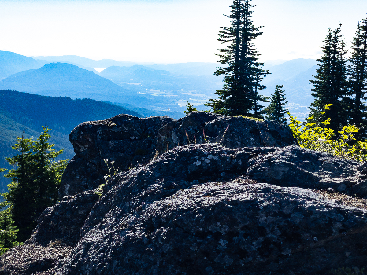
After summitting Cispus Peak, I return to the Klickitat Trail, continuing west. In a short while, I’ve passed the trail to Pompey Peak, and am headed for the western Klickitat Trailhead, an area I had walked earlier in the year. The trail follows the ridge line to Twin Sisters Peak, then dipping below it as it skirts to the south of the peak. From here the trail hugs the ridge, passing to one side then the other of various prominences. I eventually come out to where I had turned around before. After a quick break, I return the way I came. I’m running out of water, and haven’t found anyplace to replenish yet. I find myself at an interesting location where a shelf of rock provided a great view, and below that shelf, I could hear a spring running. The slope is simply too steep to locate the spring, however, and it appears to be overgrown with brush. I’ll have to continue on…
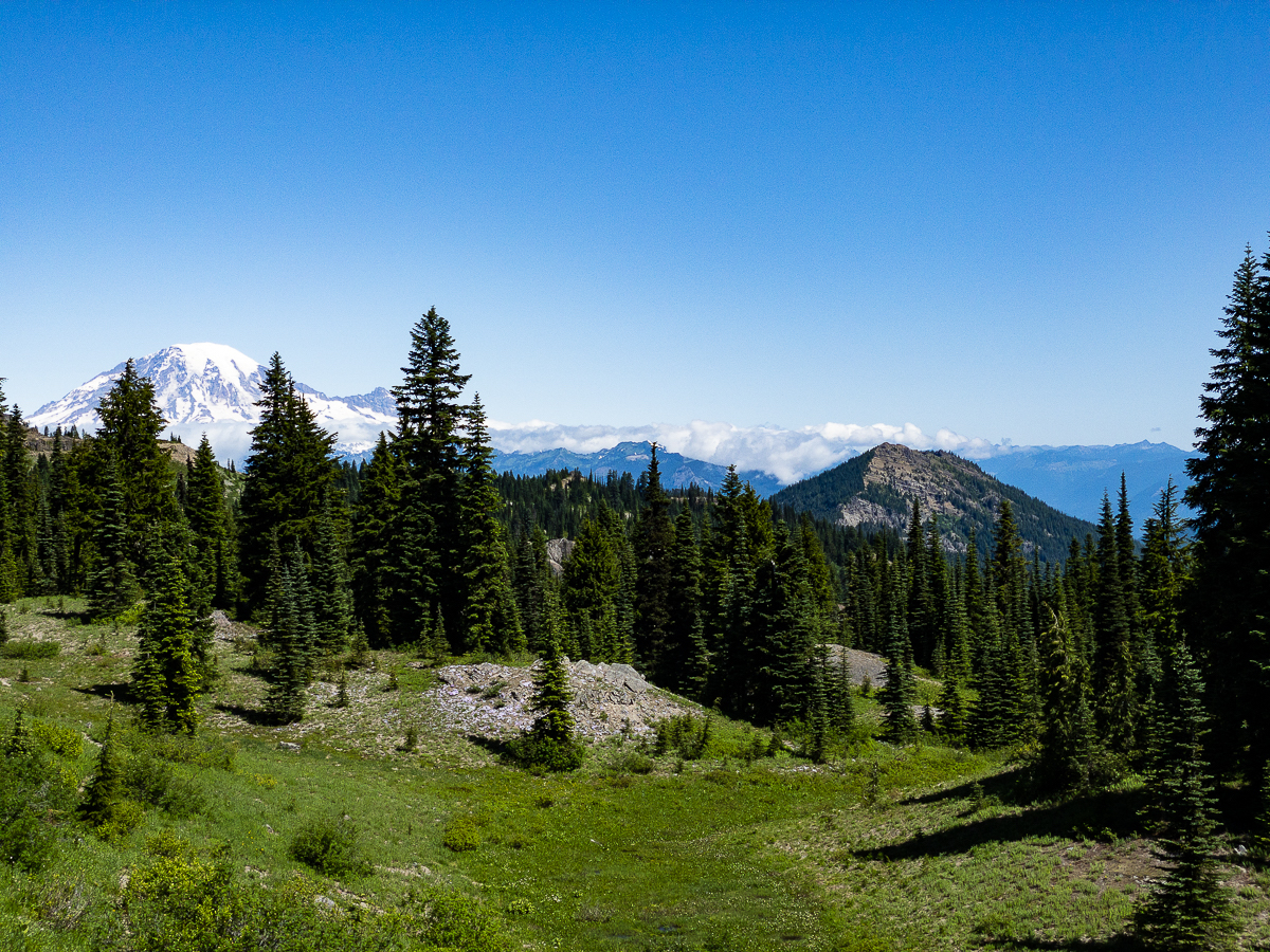
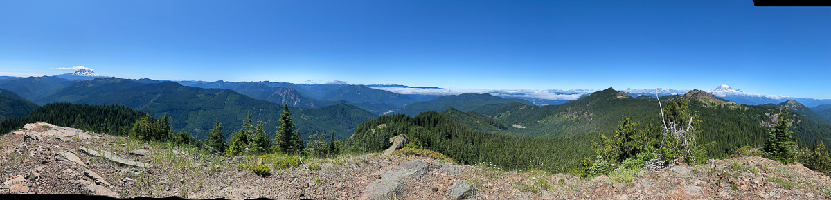
Passing Twin Sister Peak, I hang a left onto the Pompey Peak Trail, which also hugs the ridge line as it works its way north and then east to Pompey Peak and beyond, down to Kilborn Springs and to the USFS 2304 Rd. I have never visited Kilborn Springs that I can recall, but it’s marked on the map, so must be somewhat significant. The afternoon is warm and bright, the trail is in excellent shape, and the bugs are not too bad – I am having a great time.
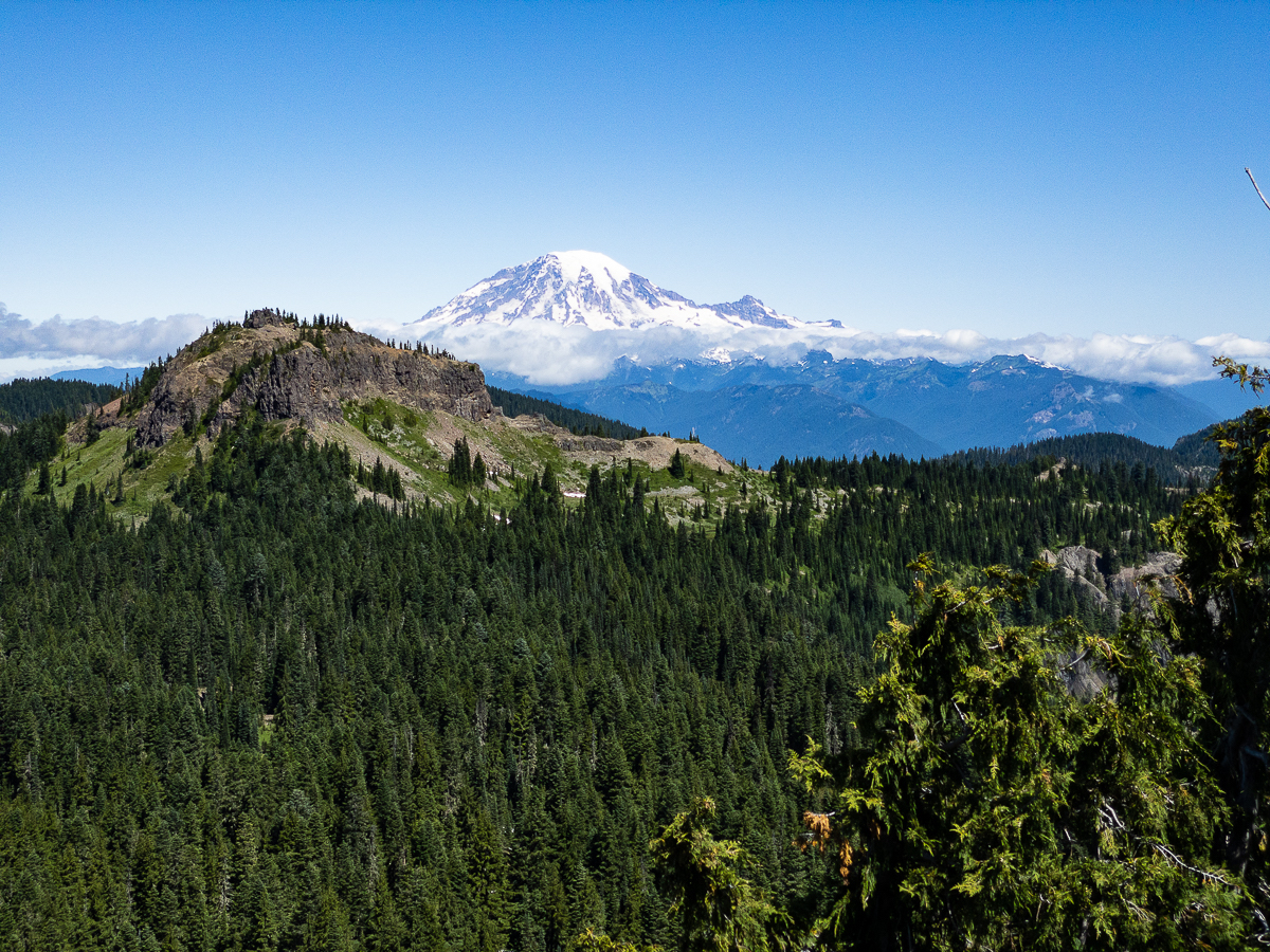
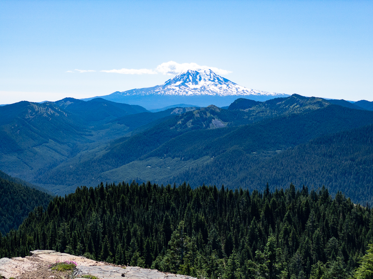
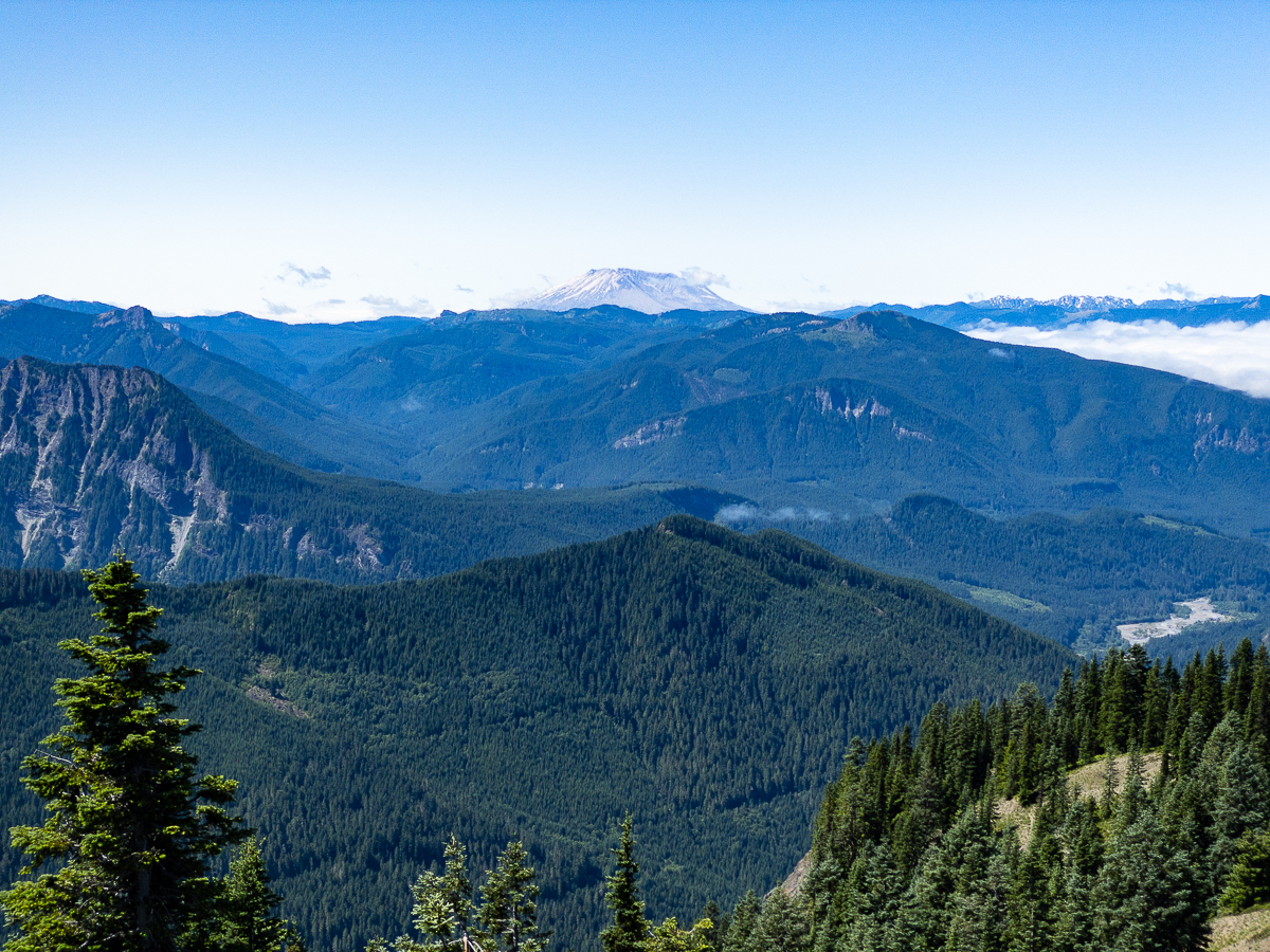
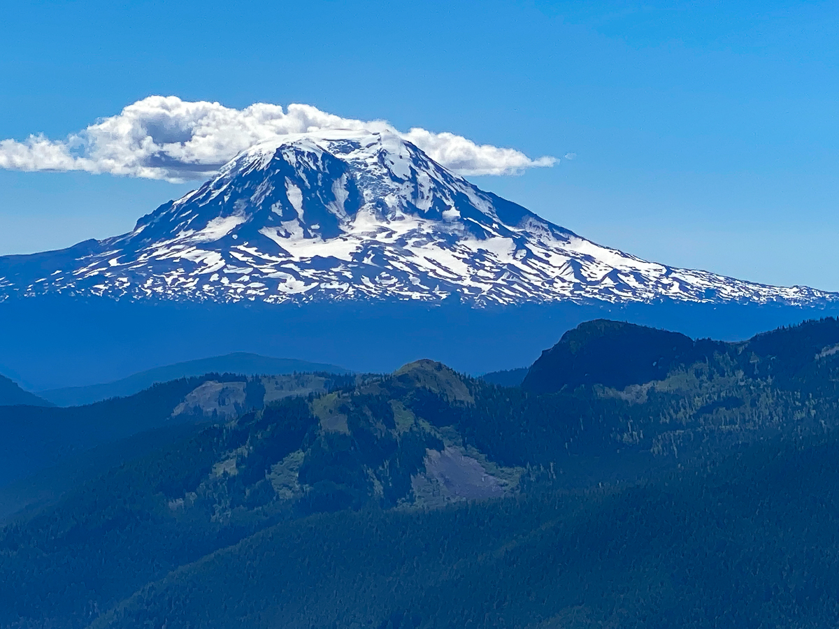
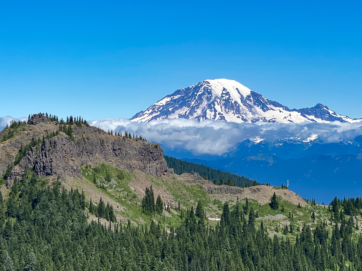
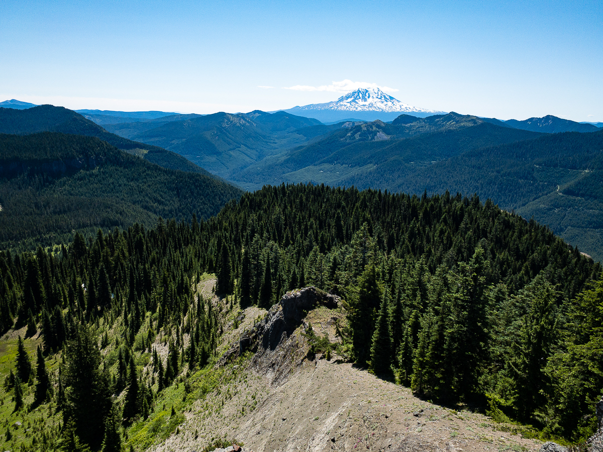
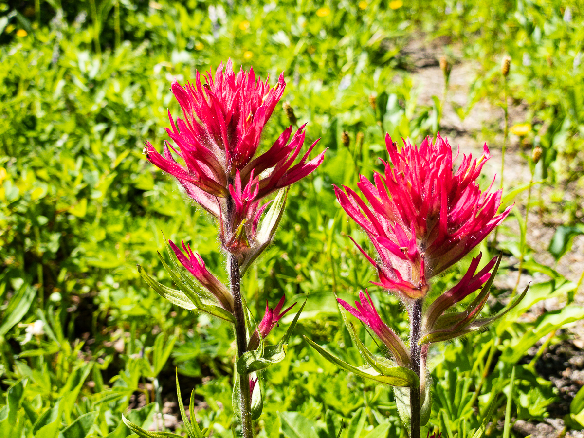
After crossing thru various gorgeous little meadows and park lands, providing great views of Twin Sister and Castle Peaks, the trail eventually leads to Pompey Peak. I take the side trail up to the peak and enjoy a short break there for photos. On an old cement block of the lookout’s foundation – all that is left now – I find carved a school-mates name. Hi David! I remember that he grew up at the base of this mountain, and we all spent an awesome summer afternoon climbing up to this peak when we were teens.
I’ve enjoyed a nice break, but am out of water, and when I check the time, realize I am out of that, too! Time to head down to Kilborn Spring for water, and to beat feet back to the truck. I know I’ll be exiting in the dark, but I’m prepared with a headlamp.
The trail led steadily downhill… down, down, down, the timber thickening all the way. Around 6:00 PM, I find myself on the last stretch of trail, and the spring should be on my left. I see no sign of it, nor any trail leading to it. Worrisome.
I continue down, the trail looping around the spring’s supposed location, and I cross a draw down which the stream should flow – but it’s dry. Immediately beyond that, the trail should transition to road. I follow it a way, but it doesn’t transition. Realizing I need water more than to reach the trail head, I turn back for that draw. It’s still dry, of course.
I check my various maps, and see that the one I’ve been using has located the spring some distance into the woods, but two other maps show it much closer tot the trail. With a bit of desperate hope, I push into the messy, overgrown forest edge – the clearcut on the opposite side of the trail has caused a very dense forest edge, and it has started to die back.
While I could see that water has occasionally flowed down this draw, it’s dry now, but I can pick my way over and around the huge number of blown down trees to follow it. Eventually, I begin to see wet spots on the forest floor, and then, here and there, my feet begin to punch thru old rotten logs into mud. Finally, I find a place where I can see water flowing across gravel under holes in the ground. I am able to fill my water containers using my bandana to filter the water – sweet and clean!! I’m not sure I found the spring itself, or if it even still exists, but I have water now, and that’s all I really care about. I turn back up the trail at 6:40 PM.
I love walking ridge top trails in the late evening. The sideways light, the long shadows, the sunset… As I reached the Klickitat Trail again, however, that light has begun to fail, and I resort to a headlamp just before I get back to the Cispus Peak Trail. My trip down from there is in complete dark with the lamp on at all times. It’s a steep and exhausting descent.
I find myself back to Jackpot Lake and popping out onto the road at about 10:20 PM. It’s a very late dinner tonight!
Leave a Reply