Summer is finally here, the snow is melting, and the insects are not yet awake. I’ve got some new gear, and it’s time to get hiking! This weekend, I took a 3-day backpack trip up the Clear Fork Cowlitz trail to Tieton Pass on the PCT.
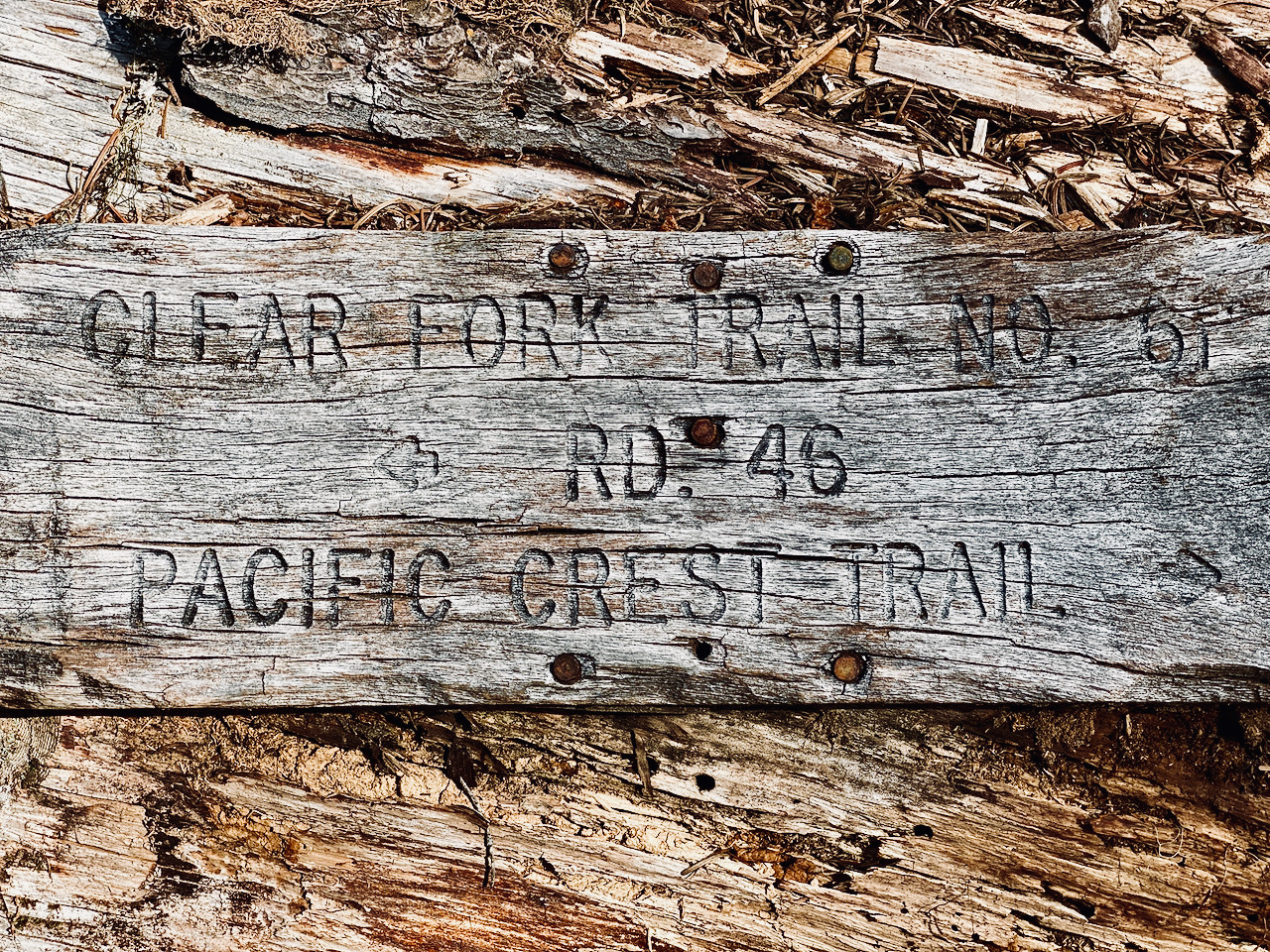
Arriving at the trail head a bit later than I prefer, I waste a a little more time going thru my gear and getting everything packed just right. It was a lonely drive up the USFS 46 Rd to the Clear Fork Trail #61 trail head, I saw nobody, altho I will say the upper mile of the road has enough personality for a crowd of day-trippers. I’m not sure why they call it a road, tbh. And it’s all the more confusing when you notice the USFS has built two nice new bridges over Lava Creek and Lily Lake Creek to get to it. Just start the trail head at Lava Creek, for crying out loud. Anyway, I digress, this is a hiking blog, not a road-maintenance blog.
There are plenty of flies out as I make ready to heave my pack up on my back and set out the trail. Before I am able to do that, however, a mountain biker comes grinding up the road. I’d love to know where he came from, because I passed nobody, and I wasn’t hanging out at the trail head that long. We chat for a bit, then he stashes his bike and sets off down the trail. I give him a few minutes to get out of my view, then follow suit.
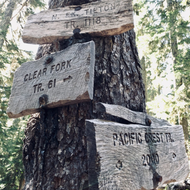
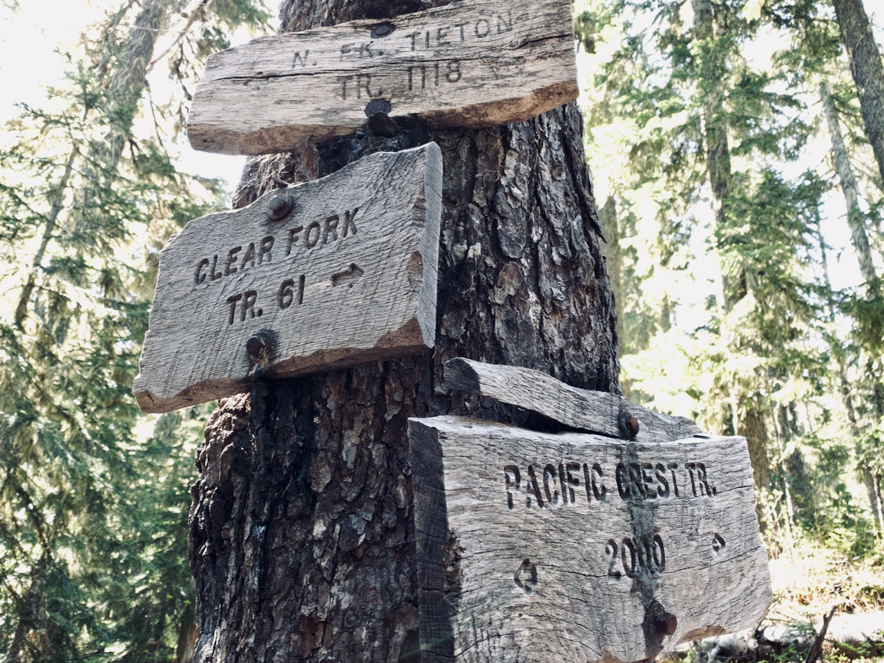
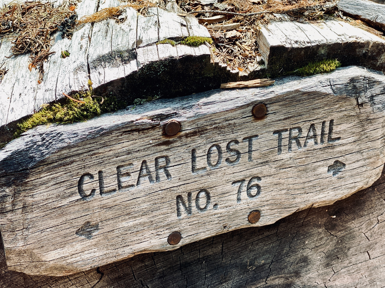
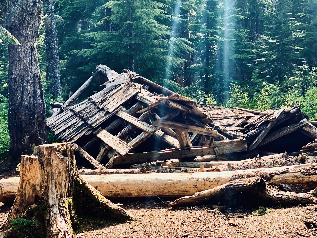
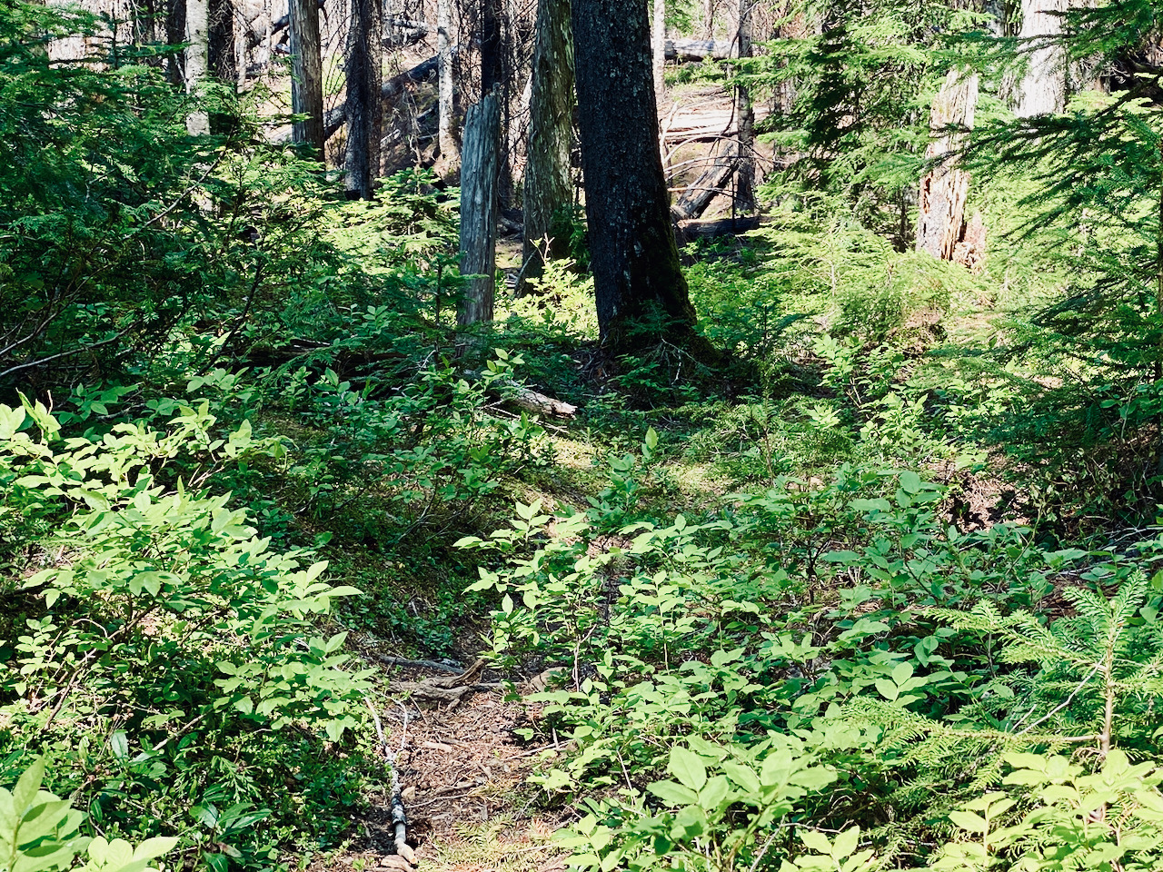
The trail is gentle, in good condition, and pretty easy to walk. It skirts Lily Lake, then climbs up a bit of a rise, before descending down to the Clear Lost Trail #76 – here one can hang a left and cross the Clear Fork Cowlitz to climb up to a trail head along Hiway 12, or hang a right to begin climbing up Coal Creek Mountain to Lost Hat Lake, then up to the Bluff Lake Trail, and down to Lost Lake and Coyote Ridge, then down to Packwood Lake. Neither of those are my destination, however, and I continue forward along the Clear Fork Trail, passing the broken down remains of the old shelter. I have pictures of it when it was still upright from many years ago.
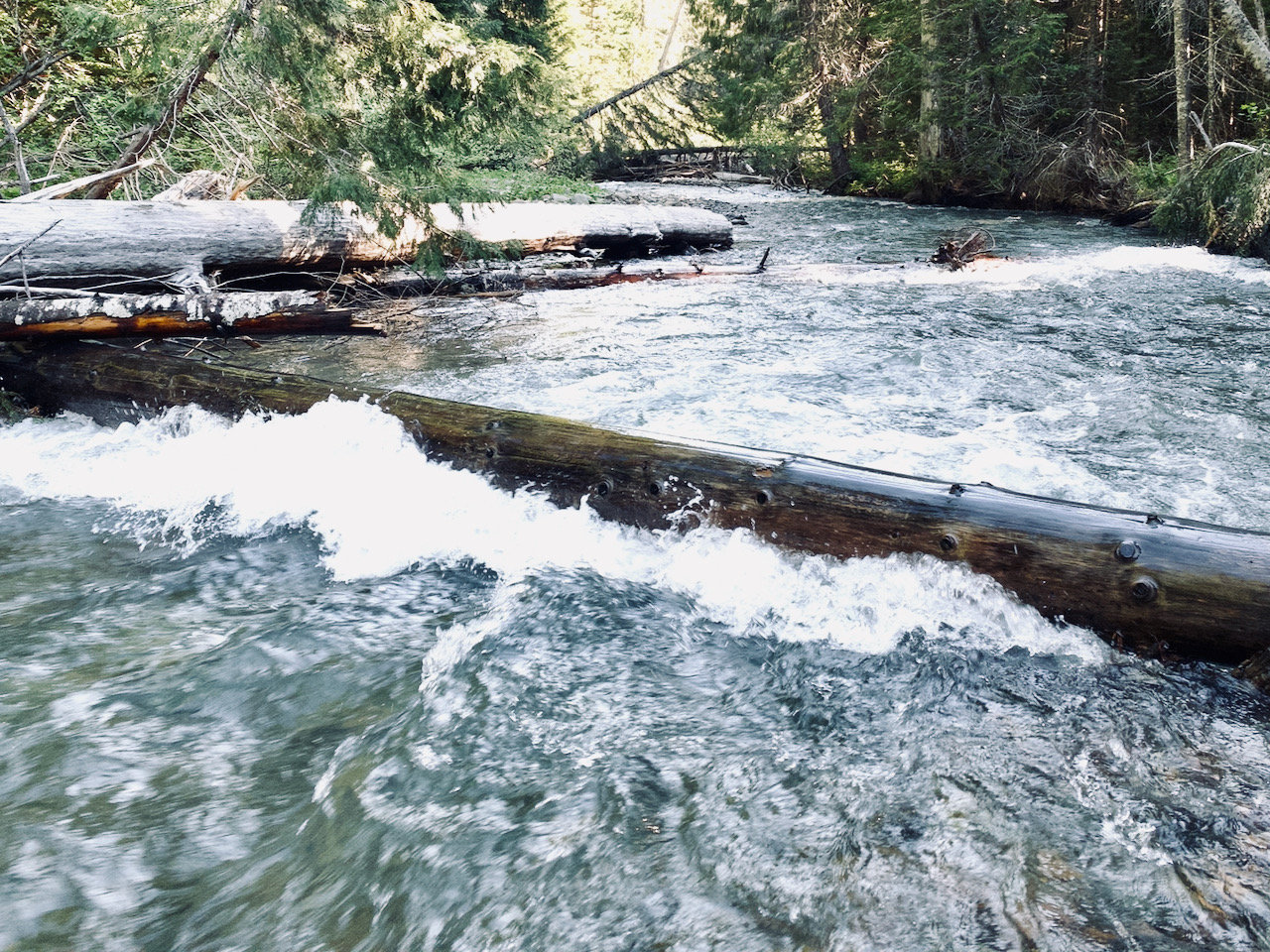
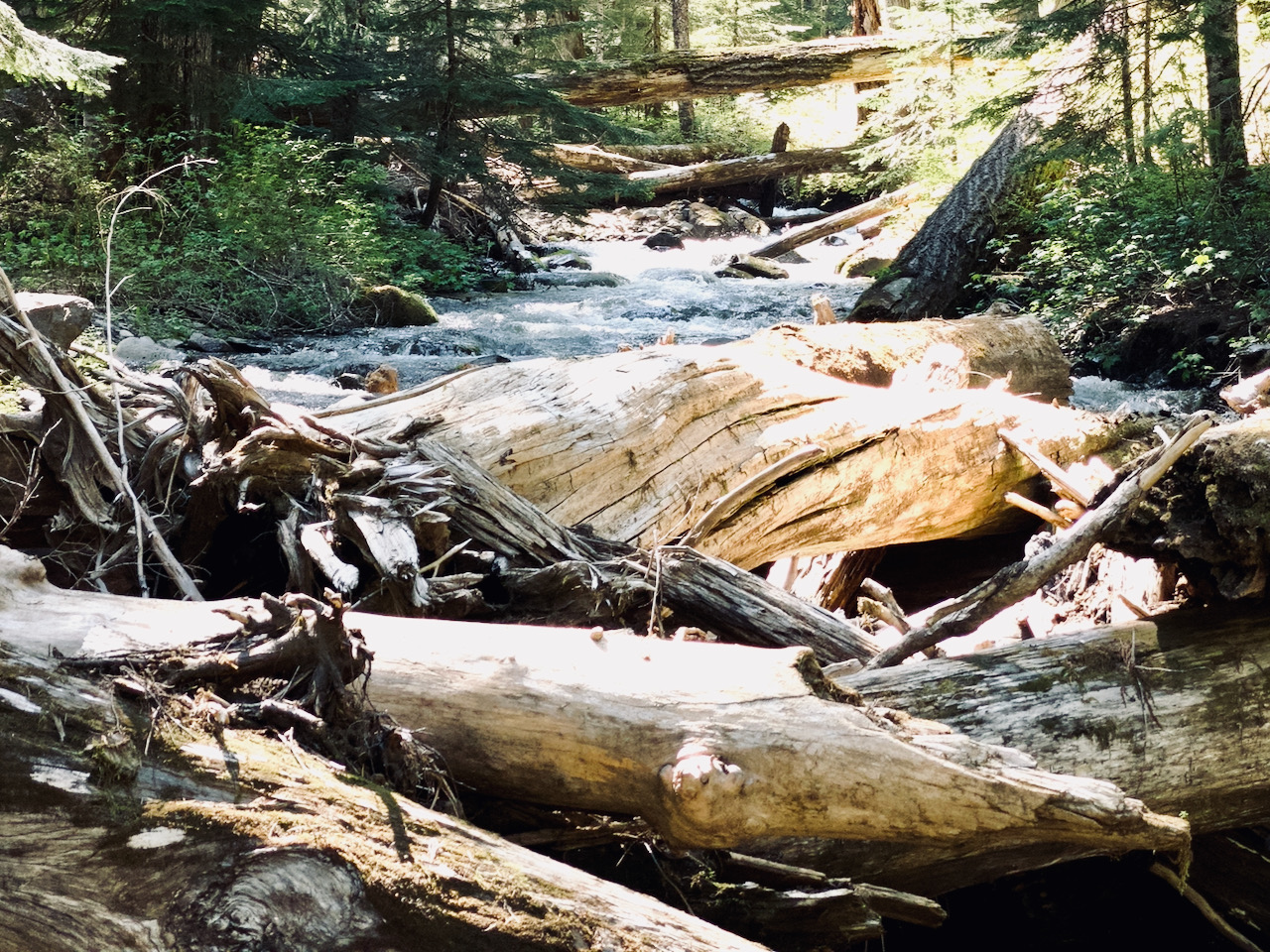
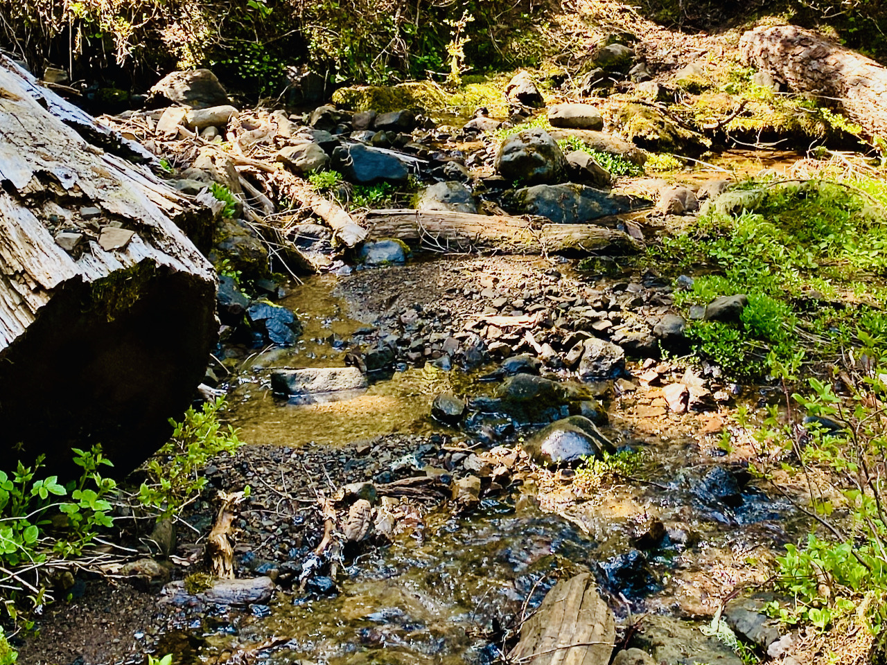
The day is getting quite warm by the time I arrive at Coyote Creek – the first wet crossing along the trail. The creek is running clear, cold and swift, altho it is only up to my knees, making for a refreshing crossing. The creek pours out of a bit of a canyon here, and has destroyed a large chunk of forest with flood deposits. Boulders in a thousand shades of grey cover the ground with hundreds of silver dead snags rising into the air, bright green alder shrubs punctuating the waste – all surrounded by the still, dark forest. Being high noon, there was not much for shade along the trail or stream, so I took my l lunch on the far side of the boulder field where I was able to find a bit of shade, but still enjoy the openness and rushing sound of the stream.
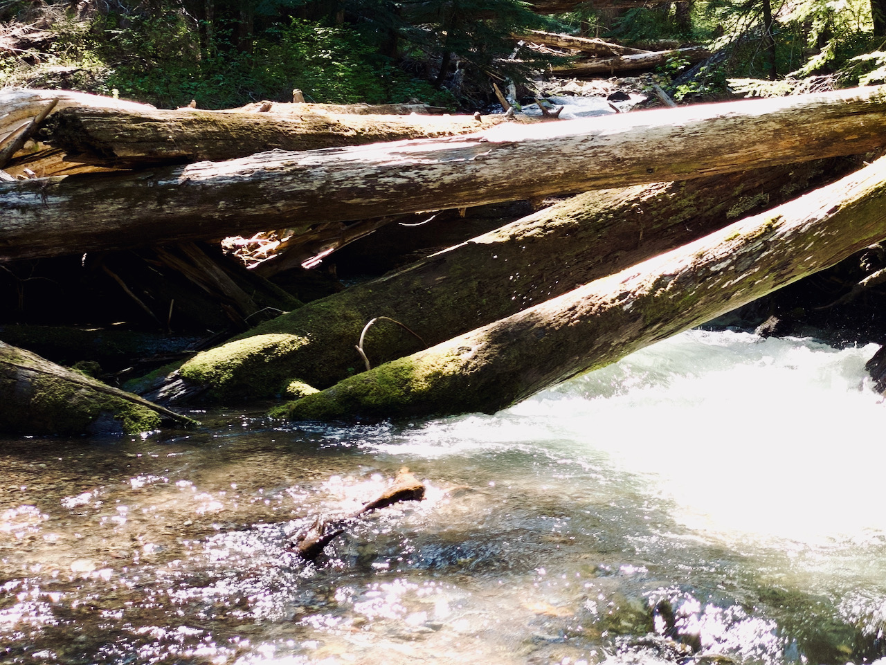
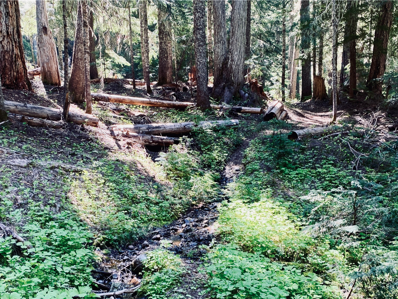
Lunch over, I continue my hike, following the trail SE and up the valley, which isn’t so much a valley as the top of a lava flow that chokes the valley, the road up here, and the trail up to the point are all on top of the lava flow, but now the trail descends, down to the original valley. From here the trail sticks to the edge of the valley, or just above the valley floor for a few miles to the crossing over the Clear Fork Cowlitz, where I find I that not only am I out of energy, but there are some really nice campsites.
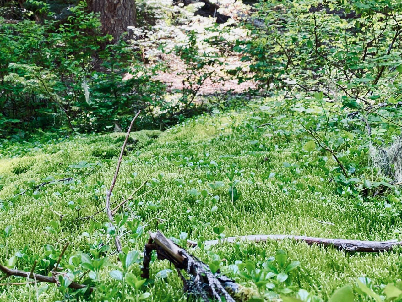
Shrugging off my pack, and slipping out of my boots to put my river shoes back on, it’s time to just rest for a bit, and enjoy the scene. I’ve chosen a small clear space along the river, alongside which are some large, cut logs – perfect for sitting on and setting my cookstove upon. After a bit, I set up my tent, then cook dinner. I’m trying out a new tent – an MSR mesh tent. I chose the 2-person size, because I am a big 1-person. It fits me quite well, with plenty of space, and it was easy to set up. It’s a keeper.
The night is clear and mild, not too cool that I need more than my light quilt. I sit around on my log reading my book until a bit past dark, peer up at the stars between the trees, then sack out in my tent for a very restful night.
Raven calls awake me shortly after first light – Quork, quork, quork! I could hear the rustle of their wing feathers as one, then a second raven flies low over my tent. Breakfast is granola and blueberries, and I am booted up and on the trail very shortly thereafter, bound for the top of the trail a couple of miles further on.
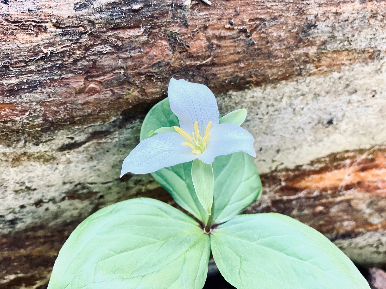
Not long after crossing the river, I enter a burn – there is still a very slight sent of wet, old charred wood on the air, and fallen snags make following the trail difficult, with some climbing over, under, and around necessary. After a bit, I pass out of the burn, cross some creeks, and begin climbing. I encounter a few snow patches, and these become bigger the further I ascend, but the trail remains easy to find and follow. Eventually, I climb a grade I recognize and pop out on the PCT at Tieton Pass – snow free and sunny, with a mild breeze blowing.
I spend about half an hour here, having lunch and resting, sitting in the same spot as my camp here last October. The trip down takes about the same amount of time as trip up, and I spend the rest of the late afternoon taking photos of the river and wandering about the other campsites, satisfied I picked the best one. The evening is a lazy one – I read my book, eat chicken & dumplings for dinner, and head to bed by 9:00 PM just when the bats are making a showing.
The hike out is uneventful, except for the heat, which really beats me up. While I don’t become dehydrated, I do lose all stamina and have to take many rest breaks, and begin to have problems with cramping the last few miles. The last stretch from Lily Lake to the trail head takes forever, but I finally make it back to my truck. I decide to drive down to Lava Creek to freshen up, as the flies are pretty bad at the trail head again.

Images taken the weekend of June 21, 2021 in the Goat Rocks Wilderness, GPNF, along the Clear Fork Cowlitz Trail #61
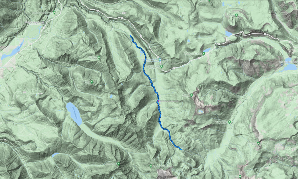
I hiked 20.5 miles w/ 2,527′ elevation gain
Leave a Reply