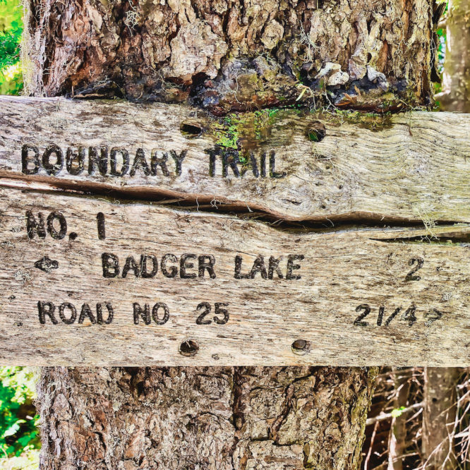
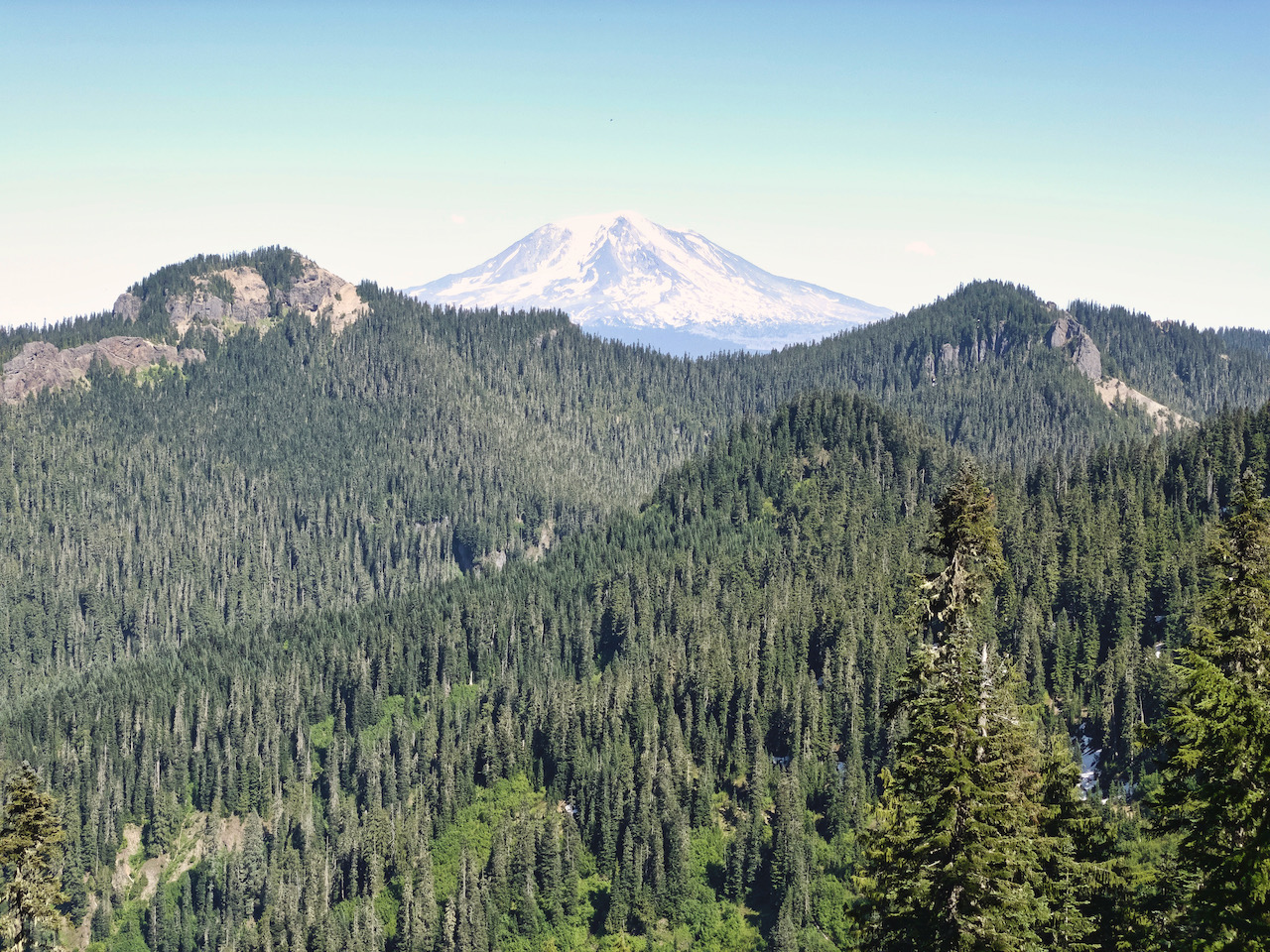
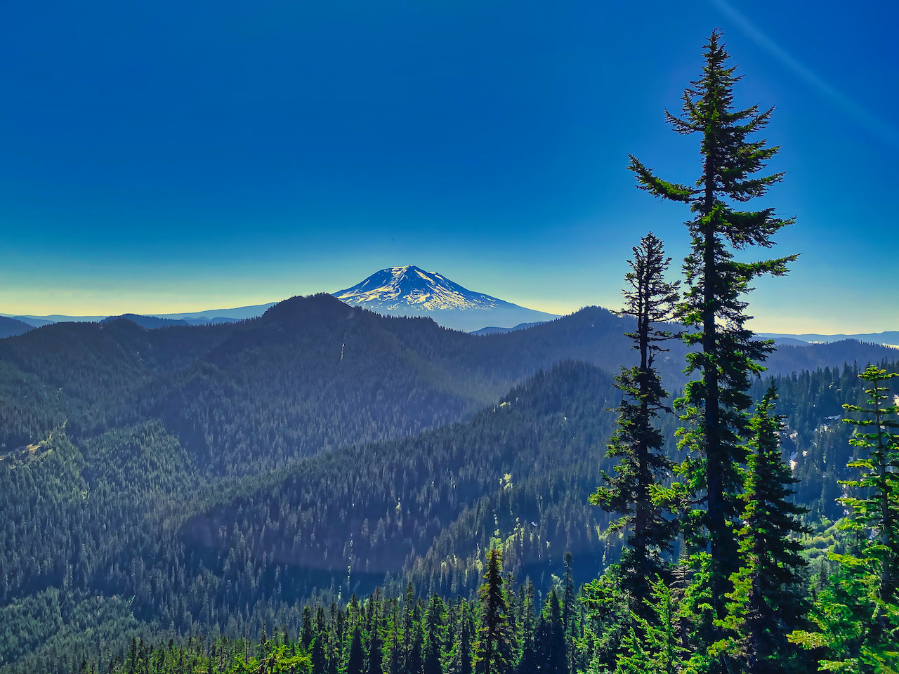
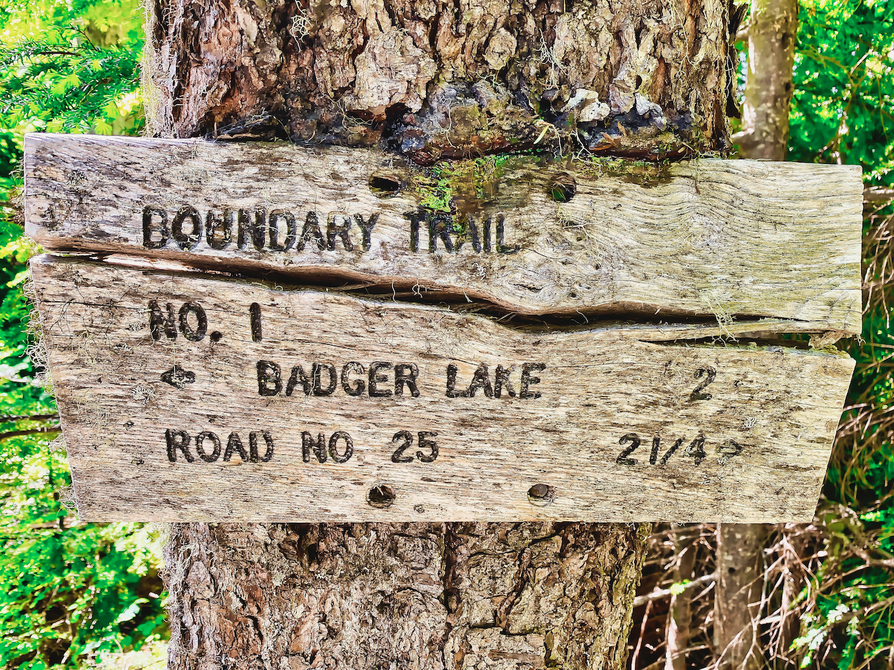
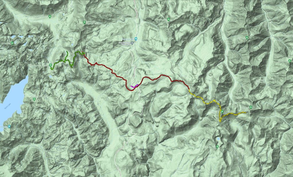
Boundary Trail #1 – a historic, rugged trail traversing the wilderness between Mt. St. Helens and Mt. Adams along the watershed boundary between the Cispus and Lewis Rivers. A largely dry trail with some expansive views, it was my destination for a 5-day backpack over the Independence Day holiday weekend.
I start out by leaving promptly at 7:00 am, filling up the gas tank on my way out of town. Once in Randle, I turn onto the USFS 25 Rd, then onto the USFS 26 (Quartz Creek) Rd – the road is in no better shape than last year, of course, but it is obviously travelled. By 9:20 I am pulling into the parking lot, and I hit the trail at 9:40. From there, I cease to pay attention to the time, letting the sun in the sky be my guide. The initial climb up out of the Norway Pass trail head into the Ghost Creek drainage is not difficult, but 30 minutes into the hike I decide I had over-packed, failing to remove my hammock and tarp before I had set out. Not much to do about it now but carry on, so that’s what I do.
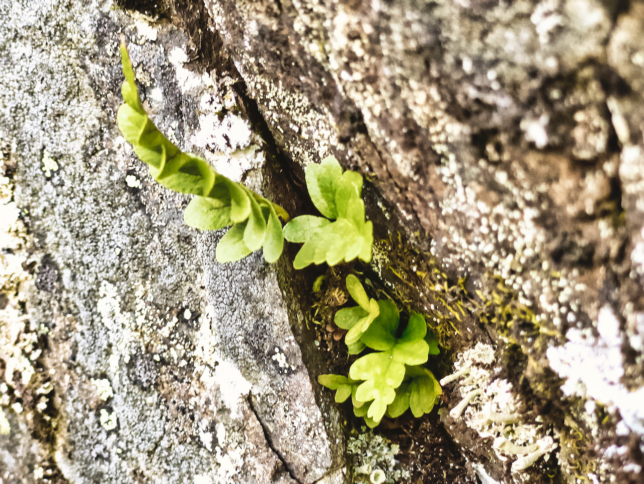
By the time I cross over Strawberry Ridge, struggling thru more and more blowdown, the heat and sun are becoming uncomfortable. I am glad to exit the blast zone and re-enter the shade of the forest as the trail switchbacks around to the north and hugs the western flank of the ridge, gently descending and crossing a few small streams plunging across the trail amidst alder and wildflowers, before coming to the Strawberry Ridge Trail, then descending down to the USFS (Windy Ridge) Rd at the Bear Meadow Viewpoint. There are still a number of blowdowns, but now they’re in the shade.
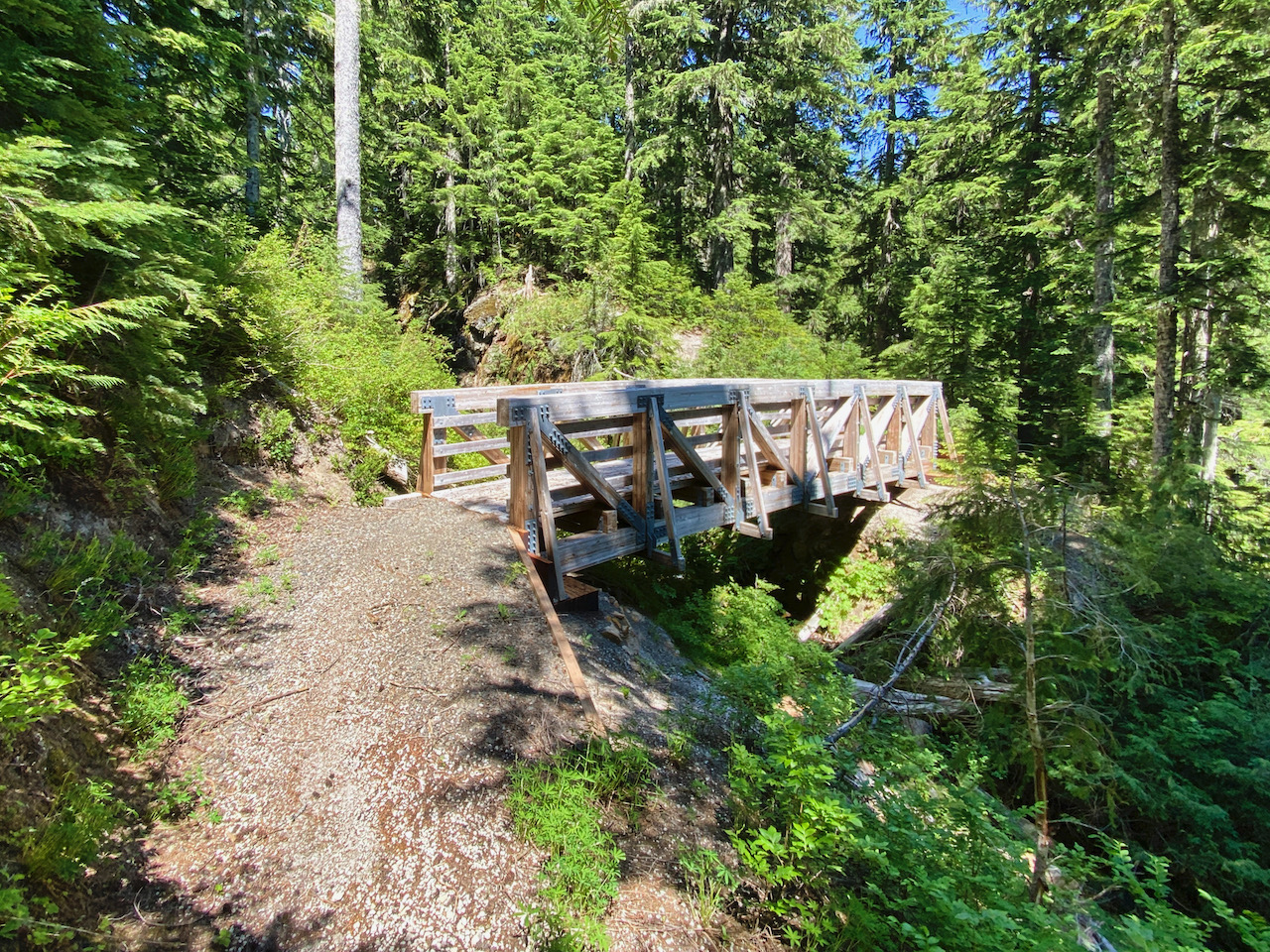
Having crossed the roadway, I looked for a nice place to take a break – out of the sun. I find a nice trailside log in the shade and settle in for a leisurely lunch break. The sounds of traffic are very close, as the road is just immediately below me, fortunately out of sight. Lunch completed, I continue along the trail, descending a bit as the trail rounds the hillside below Bear Meadow, crossing over a new bridge at the small stream that drains from the meadow, then climbing southeast over largely gentle territory with a mild grade thru lovely forest. After some hours, I come to the USFS 25 Rd at Elk Pass. I’ve passed no water sources, and while it’s time to camp, I need water to do that. I decide to continue along the trail a short way, but after about 10 minutes I find nothing and turn back, cross back over the road, and climb back up a short bit to a nice campsite I had passed. Once settled, I trek back down to the road then all the way down it to Iron Creek, where I filter as much water as I expect to need for the night and morning out of the alder-choked trickle. It was not ideal, but the water is cool, fresh, and clean, and I appreciate being still for a bit. If I recall correctly, I wasted about 2.5 miles, and some fair 350′ of elevation. Regardless, it is a beautiful evening, and I don’t mind the extra walking, especially since I’m not hauling a pack. Back at camp, I hear the last vehicles head down toward Cougar and Randle, with violent bangs as toy haulers are dragged at speed over potholes you could bury a horse in. I have a quiet evening as the sky finally gets around to twilight, and the bats come back out, once again. As I’m snuggling into my quilt for the night, I hear a coyote – just the one, and nobody called back.
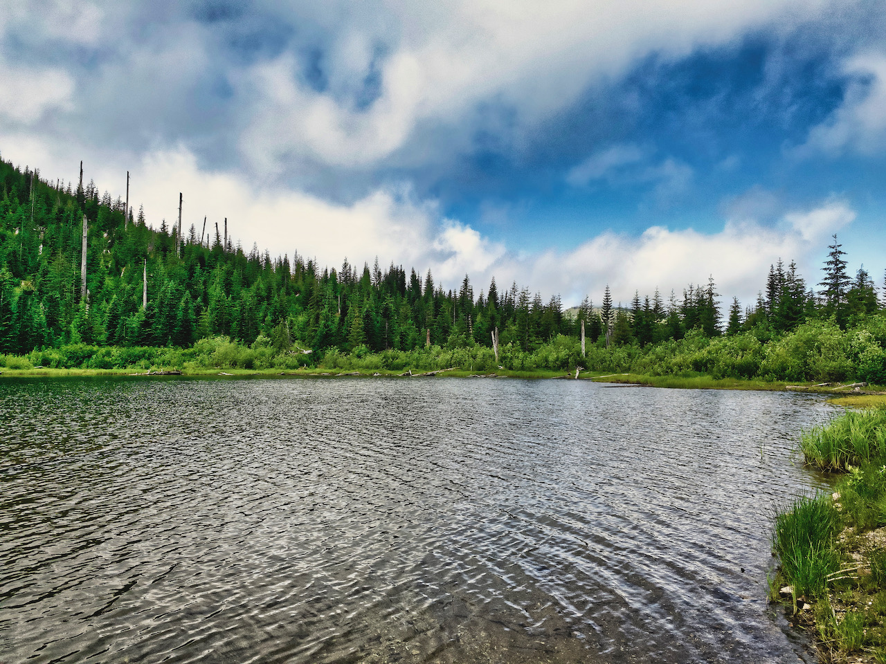
Morning dawns bright and, well, warm, with almost no moisture on the air. I am eager to hit the trail this morning, having studied my maps last night. While I don’t expect to make it as far as Dark Meadow today, I do expect I can easily make it to Badger Lake. There doesn’t appear to be any other water sources. With coffee and breakfast behind me, and all my gear packed back up, I head down the trail and cross over the 25 Rd, retracing my steps the short distance up the trail from yesterday. It is with some measure of irony I find that if I had just kept hiking another 5 or 10 minutes, I would have come to water – a very small seasonal stream, and not marked on the map, but wet and available all the same. Since my water cans are full, I don’t even pause here.
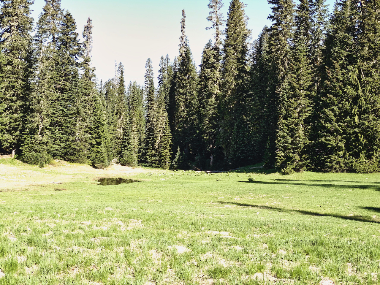
The hike to Badger Lake is pretty boring, largely eastward with some moderate climbing here and there. Since motorbikes are permitted on this section of trail, it is a bit more beaten up. However, that also means that is user-maintained, as the motorbike riders will cut the trees off the trail – something the USFS isn’t willing to do, especially not fore hikers. I am thankful and happy to forgive the noise and damage. Finally, I’m at Badger Lake and it’s lunch time, and I’m the lunch!
Fortunately, the horseflies are still discovering their taste for human flesh, and so are not so vicious just yet. I immediately scout out a campsite and set up my mesh-tent. It’s a perfect afternoon for a bit of trail mix, water, some sci-fi to read, and a nap, and that’s just what I do. It’s a pretty low key afternoon and evening, I scout out the lakeshore a bit, some bike packers arrive and set up camp in the meadow alongside the trail, the evening slowly wears on. I get a lot of reading done by the time the sun is approaching the horizon. By the time the first stars are out, I’m making my way back to bed. I’ve settled on a plan for morning, and it involves not sitting around drinking dirty chai all morning.
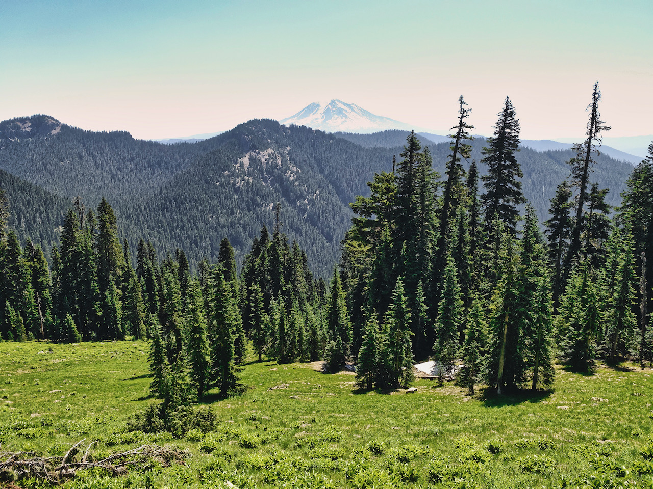
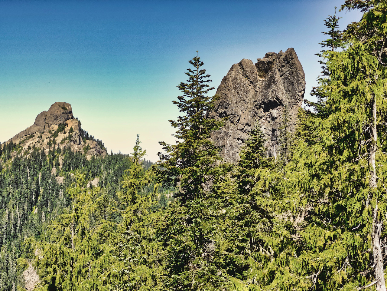
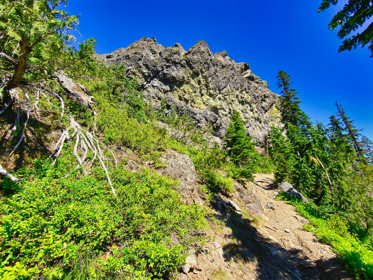
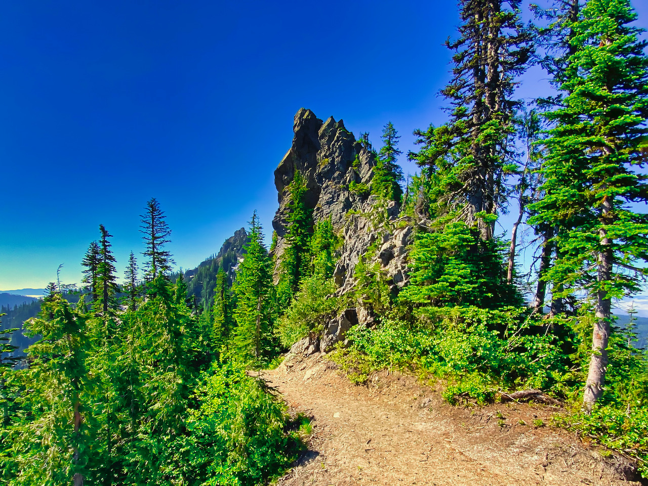
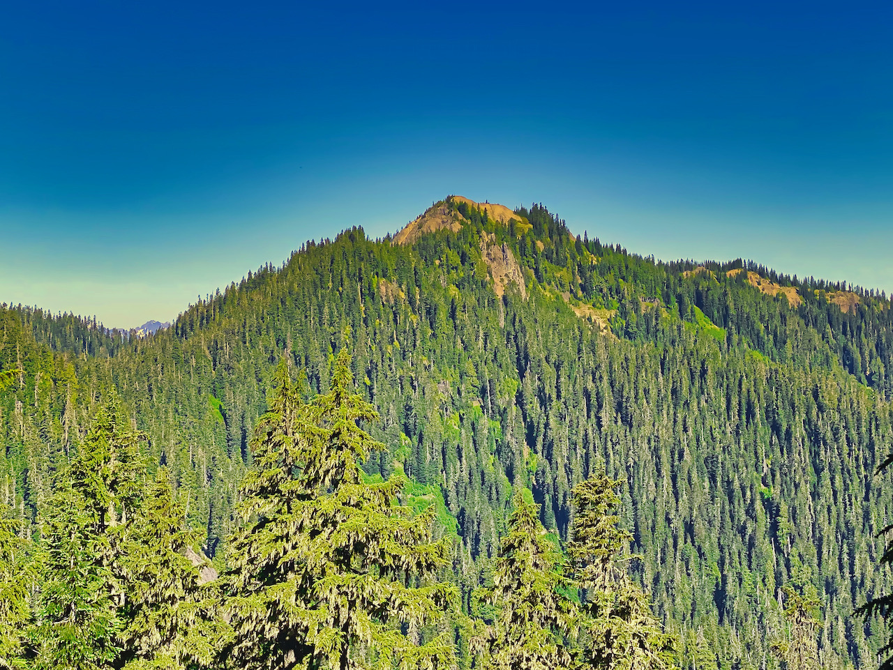
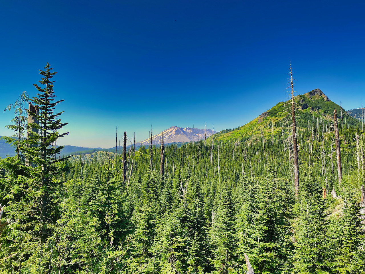
Morning dawns with the drone of mosquitoes. Breakfast behind me, I’ve loaded my pack with some weight – water, some food, my clothing bag. I want to hike with some weight, but not a full over-packed pack. With the one pole not supporting my tent in hand, I set off up the trail, rising above Badger Lake and working my way around Badger Peak toward Kirk Rock. Passing below Kirk Rock, I catch up with the bike packers on the switchbacks halfway to Shark Rock. They’d set out quite a bit earlier than I had, but having encountered a lot of blowdown and snow below Kirk Rock, they were tired now and needing a rest. Motorbikes must not travel past Badger Lake, as nothing is cut out along this section of trail. I’m not pushing a bike, so I’m still pretty fresh. We chat for a moment, then I push on to Shark Rock, where I encounter some fantastic views and a great place to sit and rest for a bit.
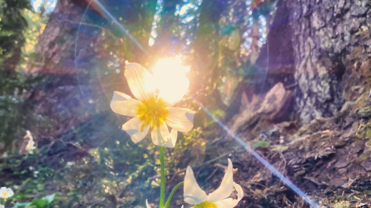
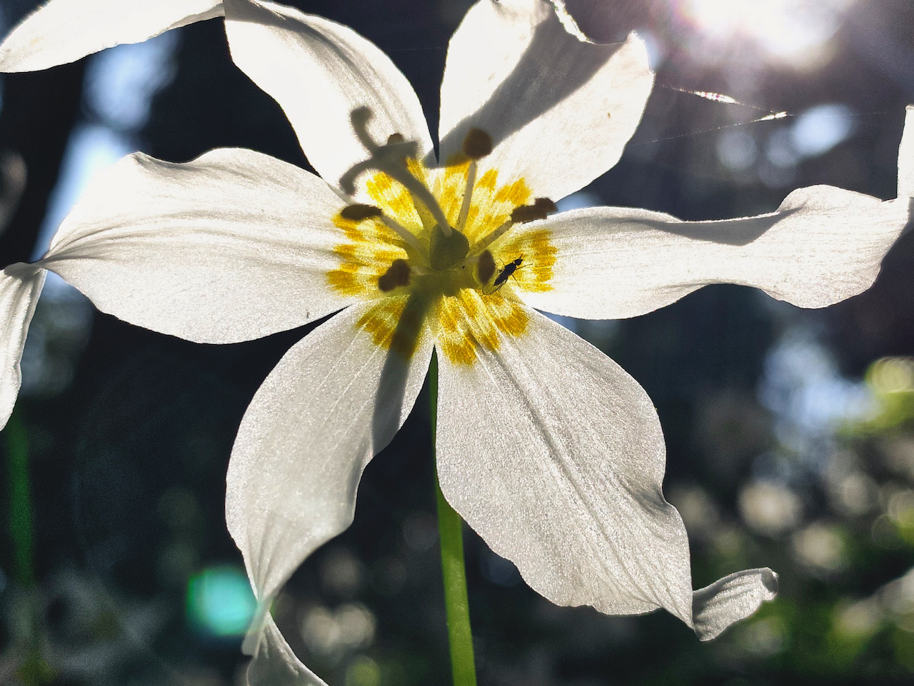
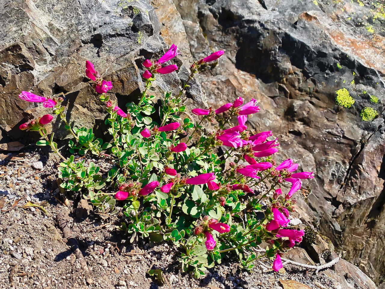
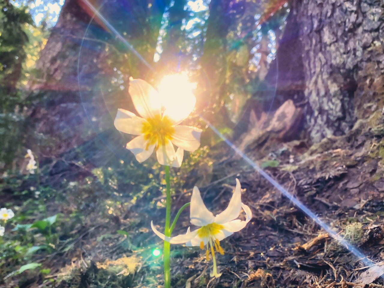
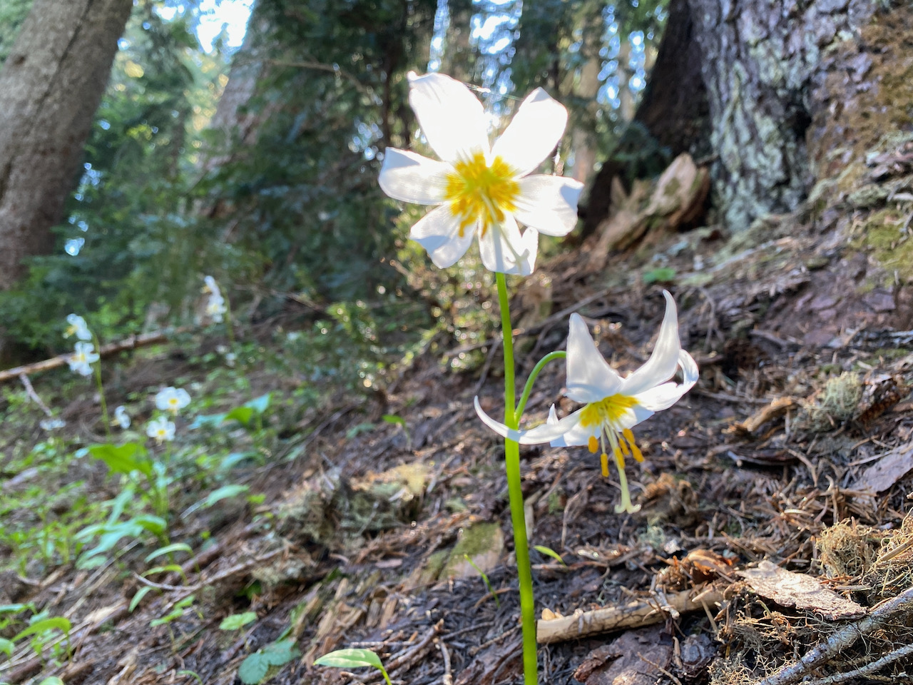
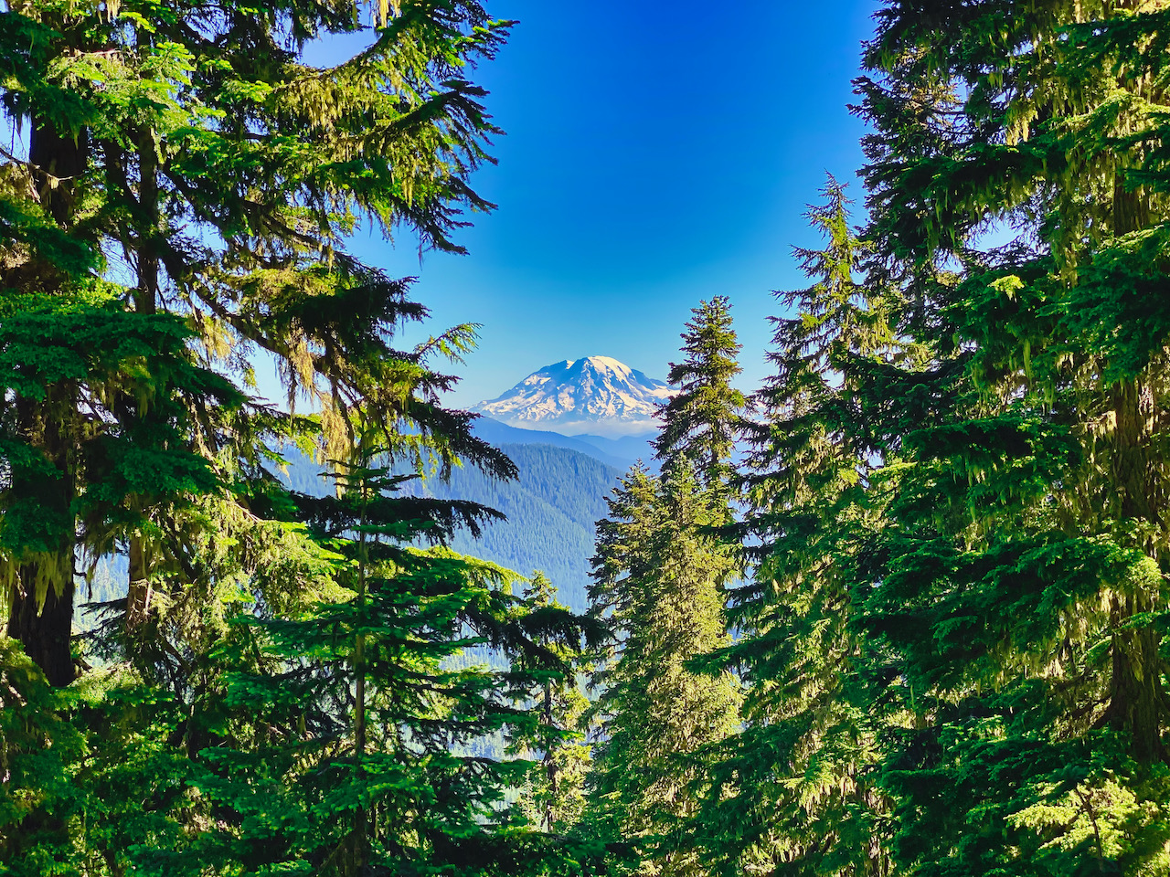
From here the trail heads south, flanking Craggy Peak, joining the Craggy Peak trail, then pivoting to the north, curving about to the east and Yellowjacket Pass. I take a short break here, then push on to the junction with Snagtooth Peak Trail. Once here, I realize I won’t make it to the next junction without surpassing my mileage-limit for the day, so I take a nice long break for lunch, then head back, getting back to Shark Rock around 4:15 and the hottest part of the day. I take another break in the shadow of the rocky prominence, and am back down to camp in time for dinner. Today’s hike was awesome and sunny and filled with amazing views and wildflowers. Perfection!
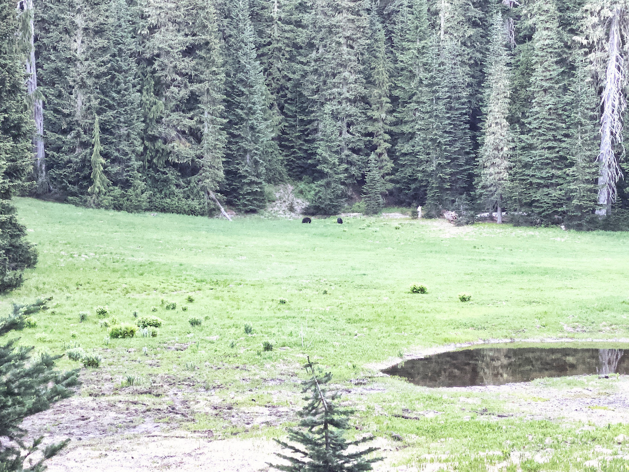
With another starry night of utter peace and quiet behind me, I’m up shortly after first light with a mug of dirty chai in hand when I spy across the meadow two moving dark shapes. Bears! Perhaps a mama and yearling, as they are both relatively the same size, they definitely knew I am over here, as one or the other occasionally look up and gaze at me. They don’t seem bothered, munching on whatever it is they eat in a meadow without a care. After a while, one bear rambles off into the woods, while the other remains grazing in the meadow for another 30 minutes or so. By the time I have my gear packed, they’ve both gone.
Boots pointed back down the hill, I’m crossing the 25 Rd in just a couple of hours, and a couple of hours after that I’m approaching Bear Meadow again. I take a break at the new bridge, but am conscious of the creosote smell the entire time, so I cut that break a little bit short. Then, before I knew it, I was crossing the 99 Rd, where some idiot just couldn’t wait another 15 seconds for me to cross the road, engages in some idiotic maneuvers, and then nearly clips me. I expect he was rather embarrassed. I hope so. City drivers!
I had spied a nice campsite just above the 99 road, on a shelf overlooking Wakepish Creek down in its ravine. I had been hoping to find access to the creek from the campsite, but no dice. Instead, I trudged up the trail another 200 vertical feet. Fortunately, it was only about a quarter mile each way. Here I set up my hammock, as the bugs were pretty much nonexistent, for which I was thankful. Another restful, low-key evening with more reading. By about 8:00, I was feeling ‘rain pain’, but with the sky clear and the breeze nonexistent, I figured it was just false signal. Settling into my hammock, I gave no thought to putting up my tarp.
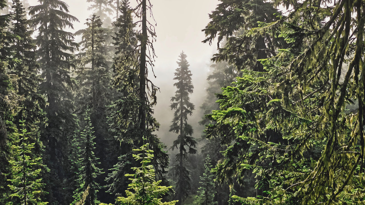
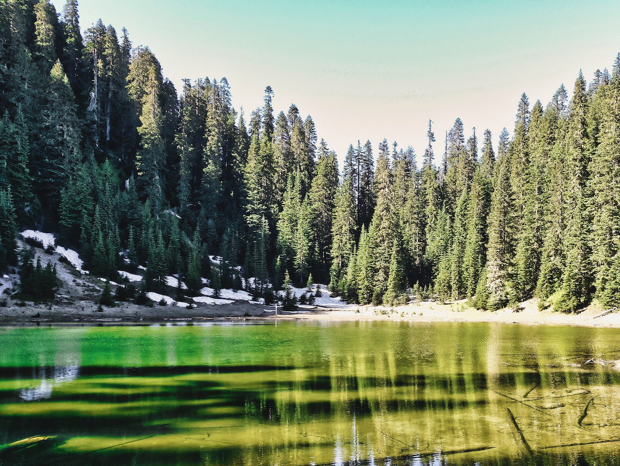
No thought at all, that is, until I awake to a fat splash on my face. Then another. And then a few more. But only a few, and before long I dismiss the treat and decided I don’t care if I get wet. It is just a sprinkle here and there, and most likely just the water dripping out of the trees. Morning dawns grey, damp and foggy, and it is gorgeous. I make quick work of my morning, wanting to make a side trip to Ghost Lake on my way out, given my mileage today would be much less. The morning remains grey and damp for my hike up to the top of Strawberry Ridge, and down to Ghost Creek, and it wasn’t until I am sitting on a long along the shore of Ghost Lake that the sun peeks out as the clouds began to break up.
It is a slow break up, however, and it isn’t until I am another mile down the Boundary Trail, and approaching the saddle over the trail head that the clouds finally give way. I bomb down the last grade, pop across the road, and am thankful to find my truck parked in full shade. I wast no time here, however, as I need a wash, some fresh water, and to get home. I drive back down the 26 Rd w/ a break at the Quartz Creek bridge. Lunch is, of course, a Logger Burger & fries from the Huff-n-Puff.
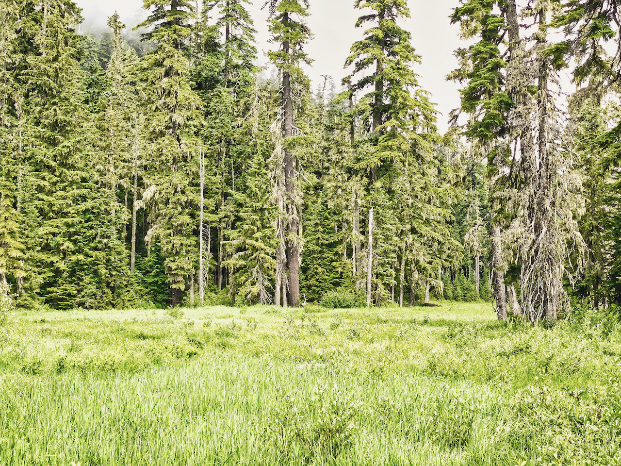
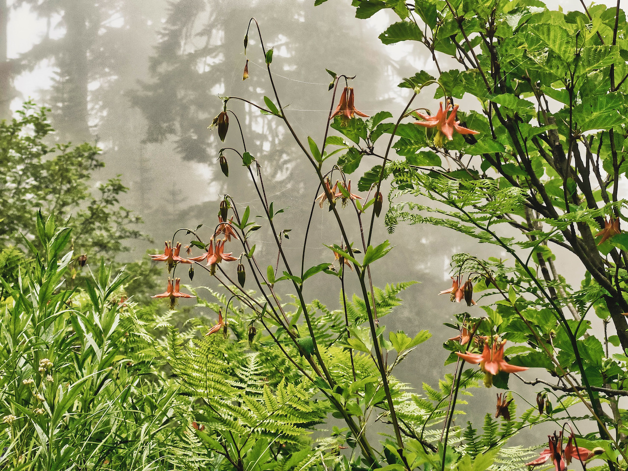
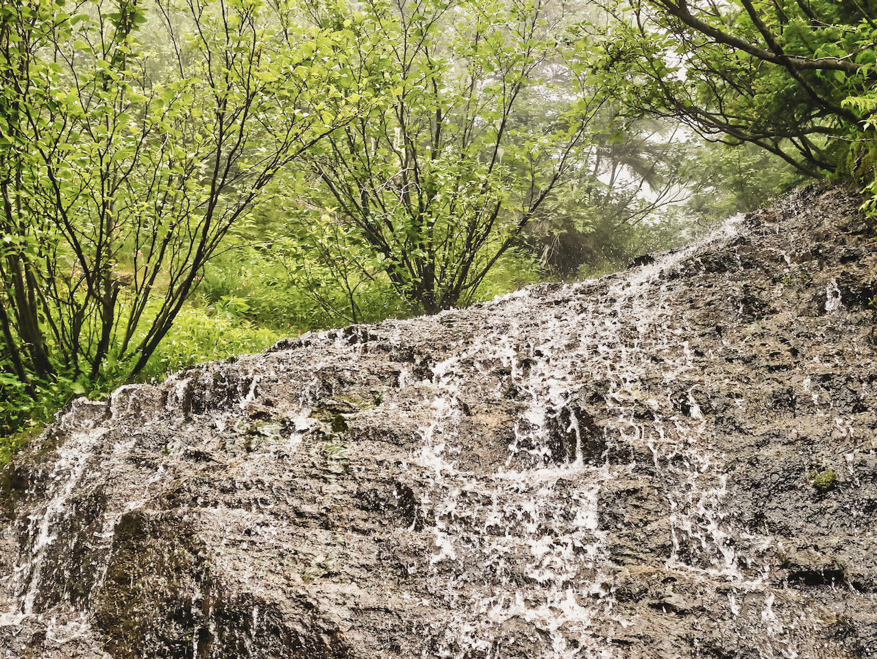
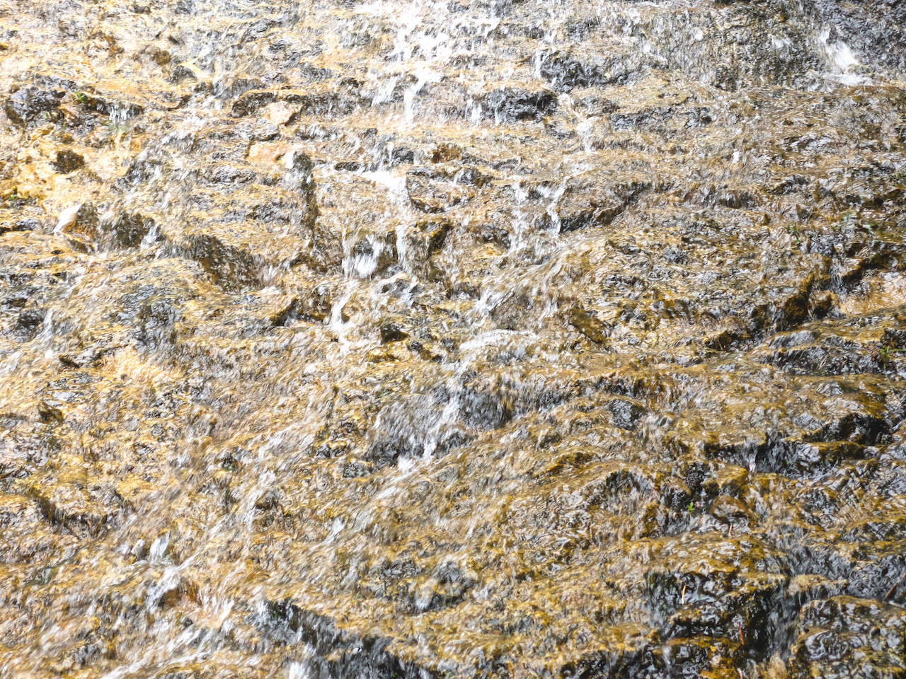
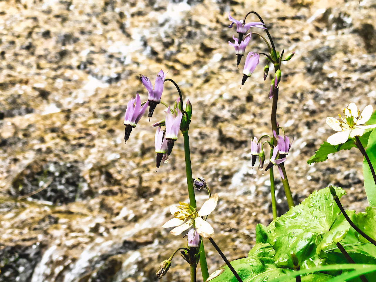
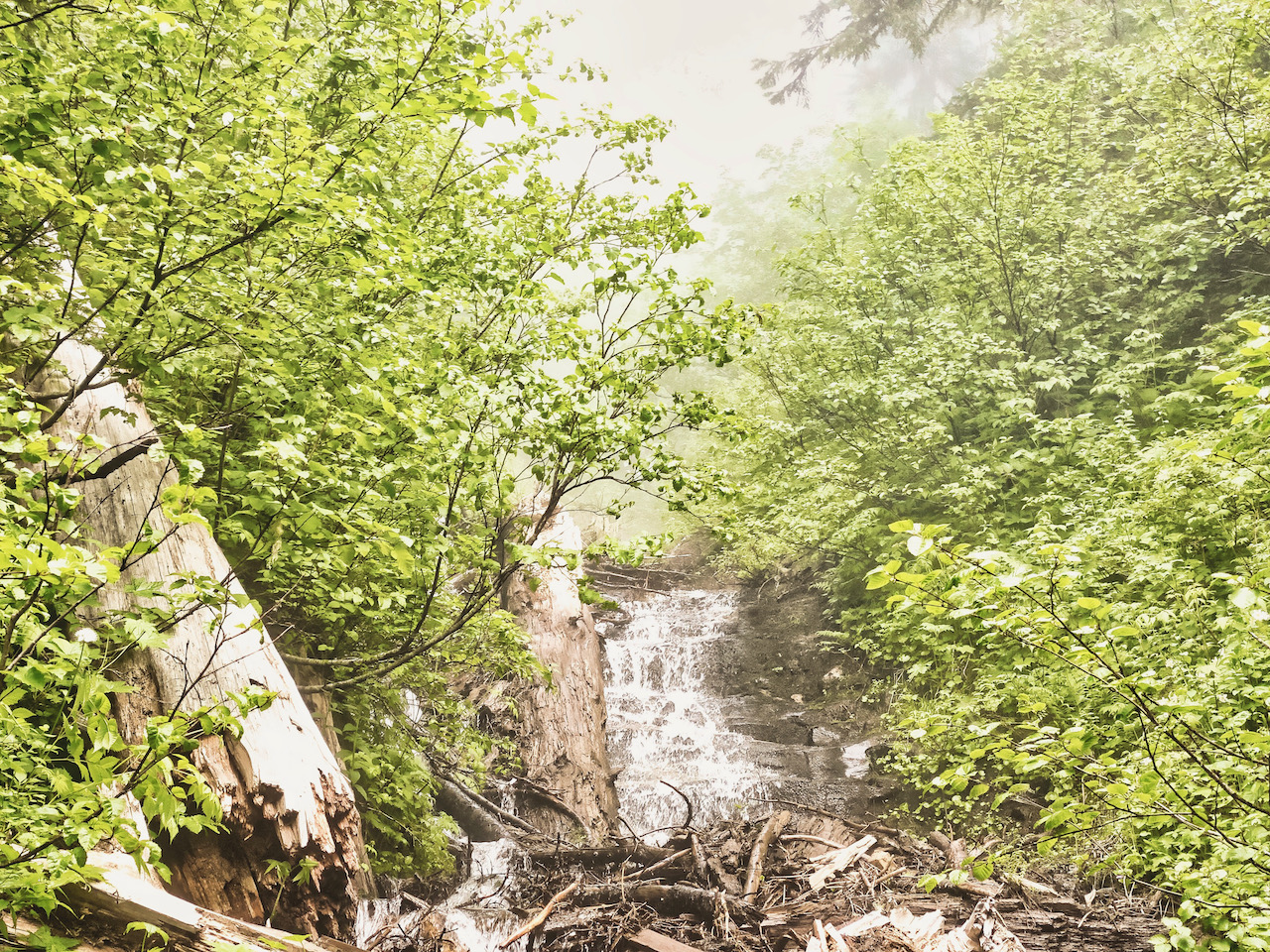
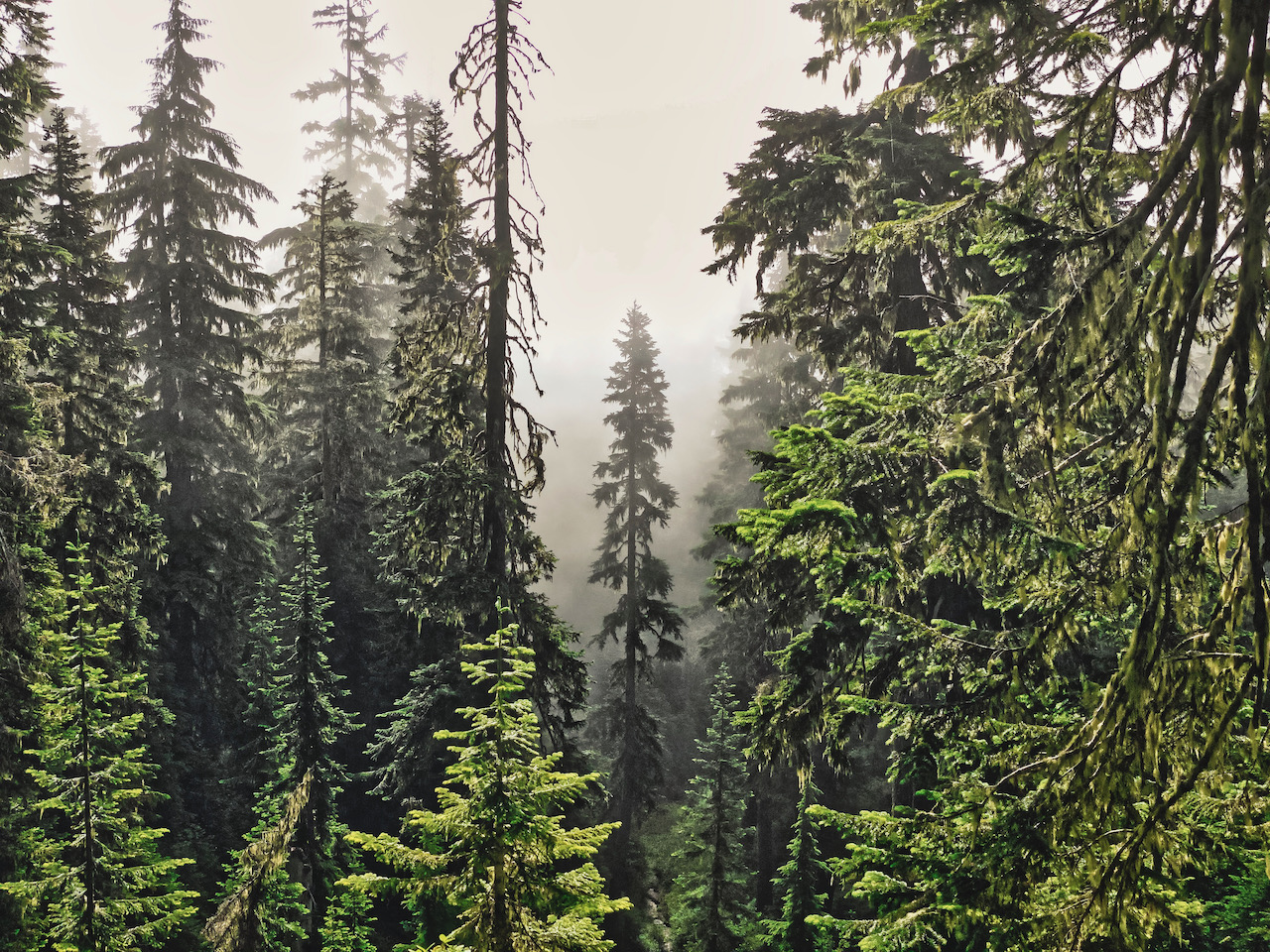

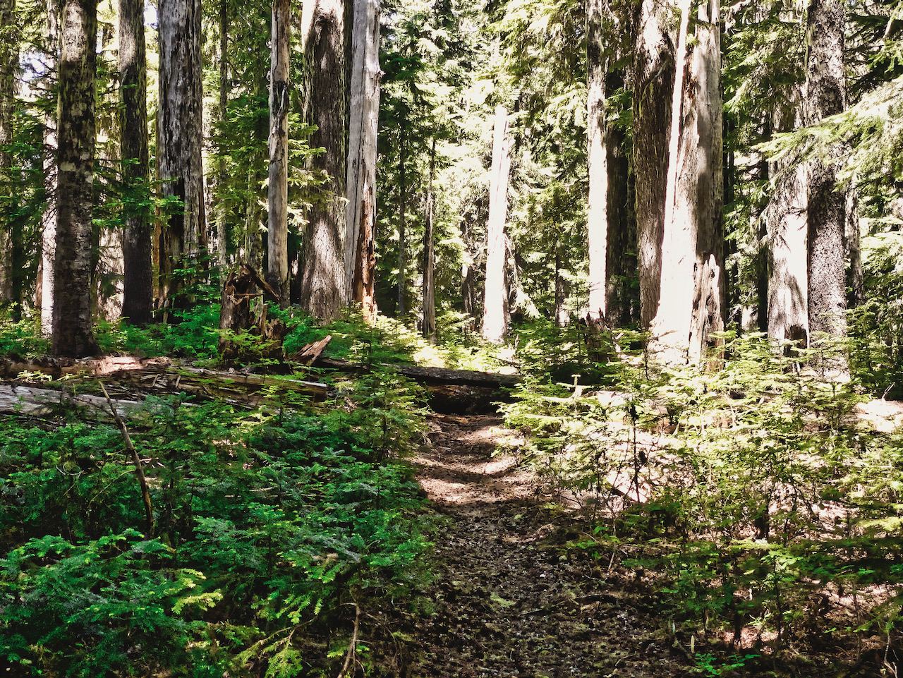
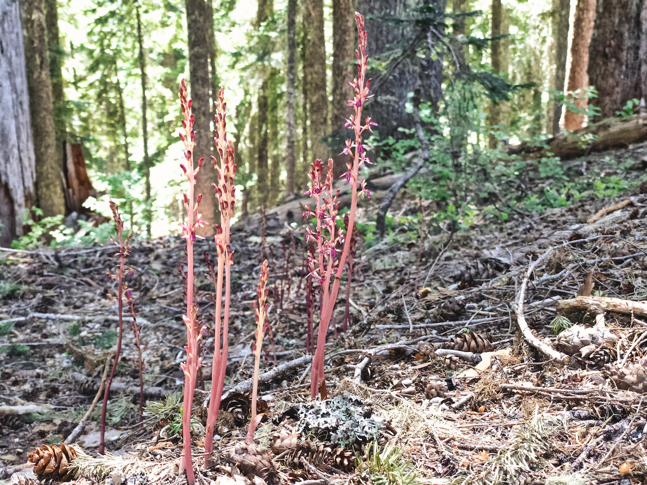
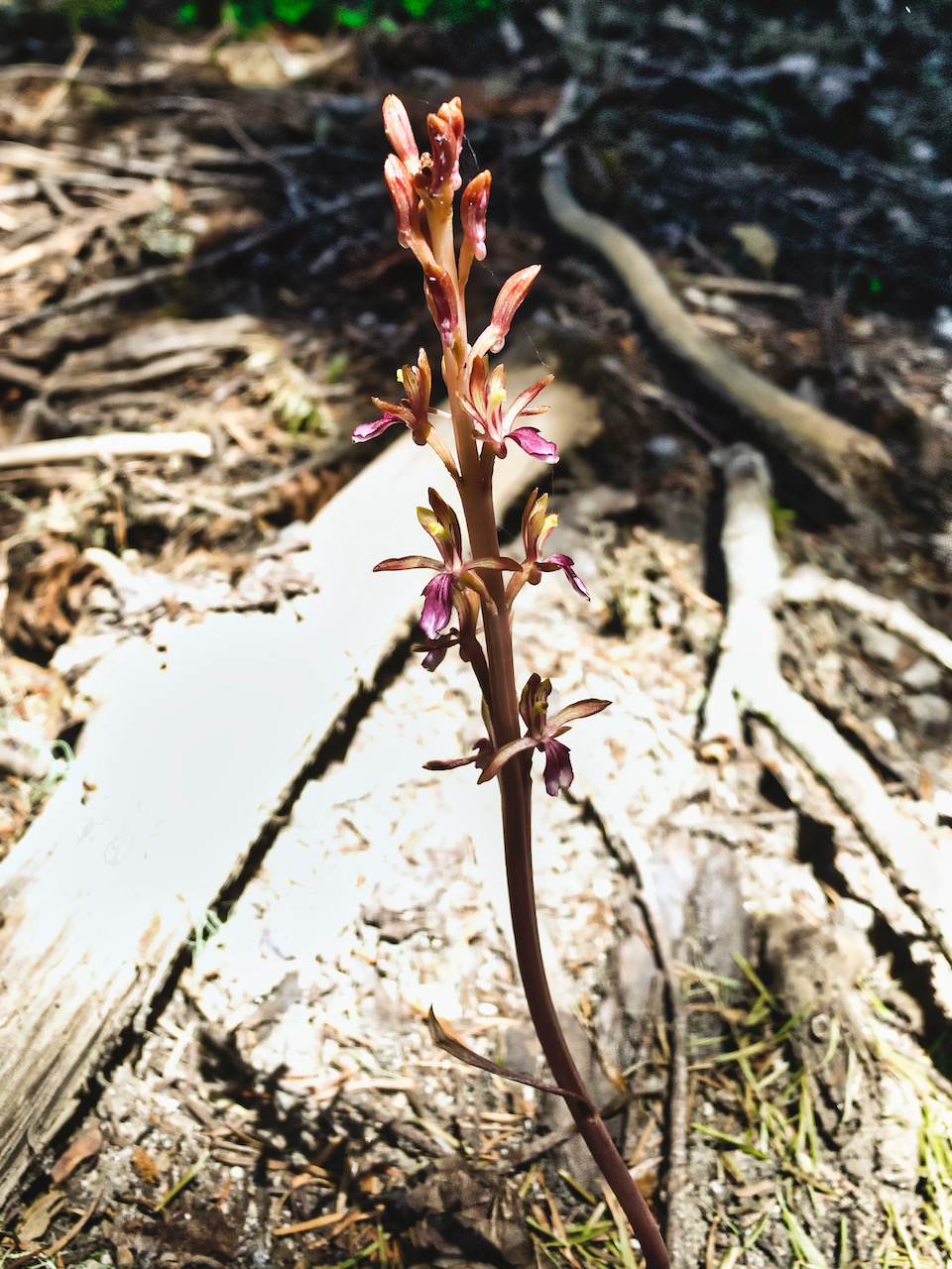
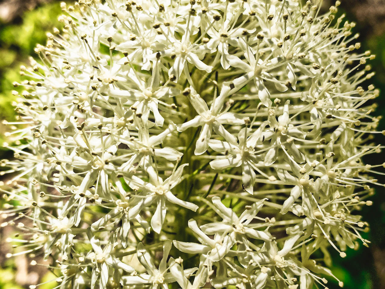
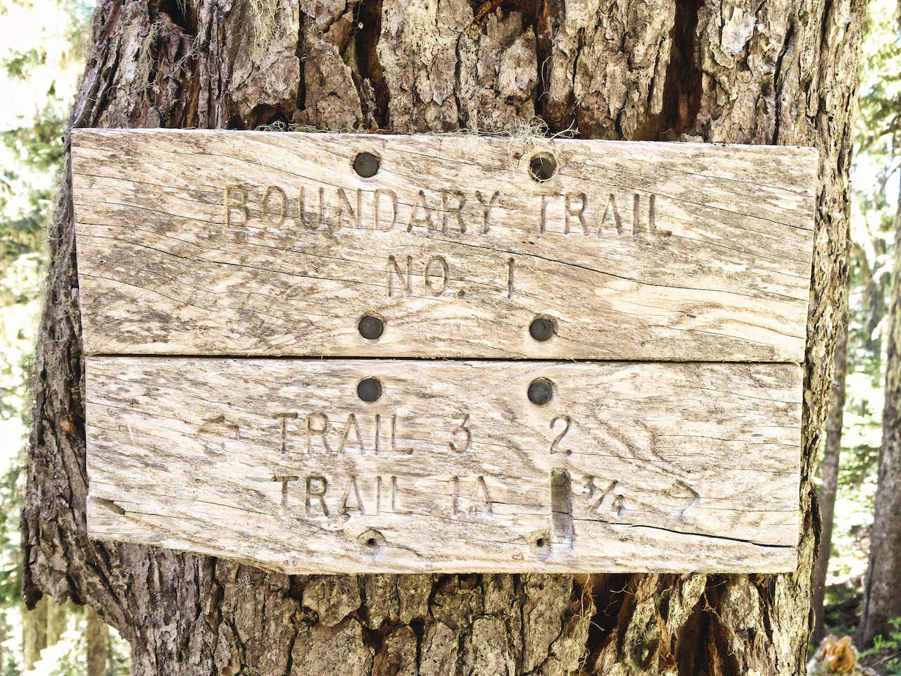

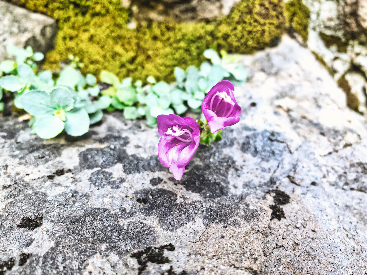
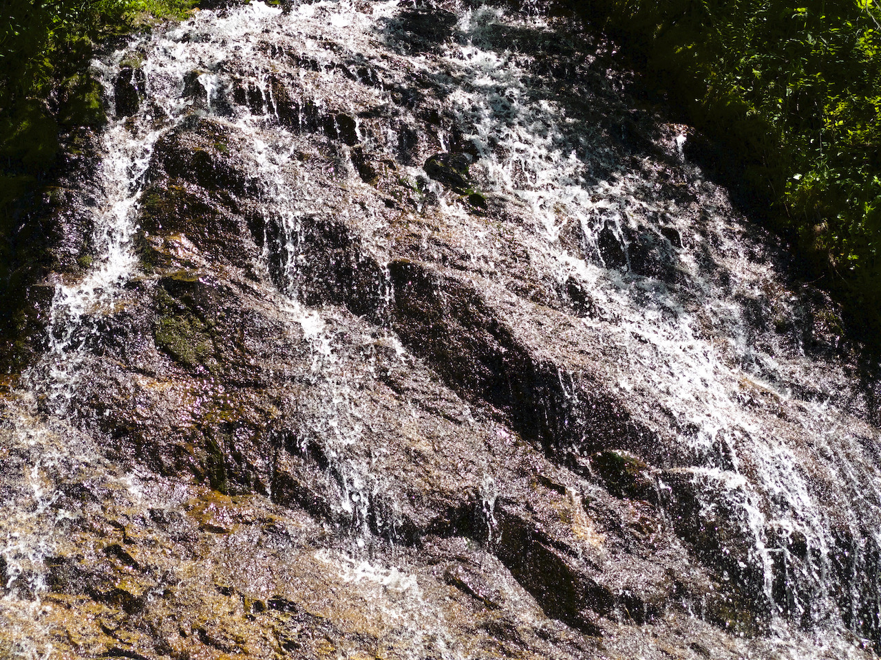
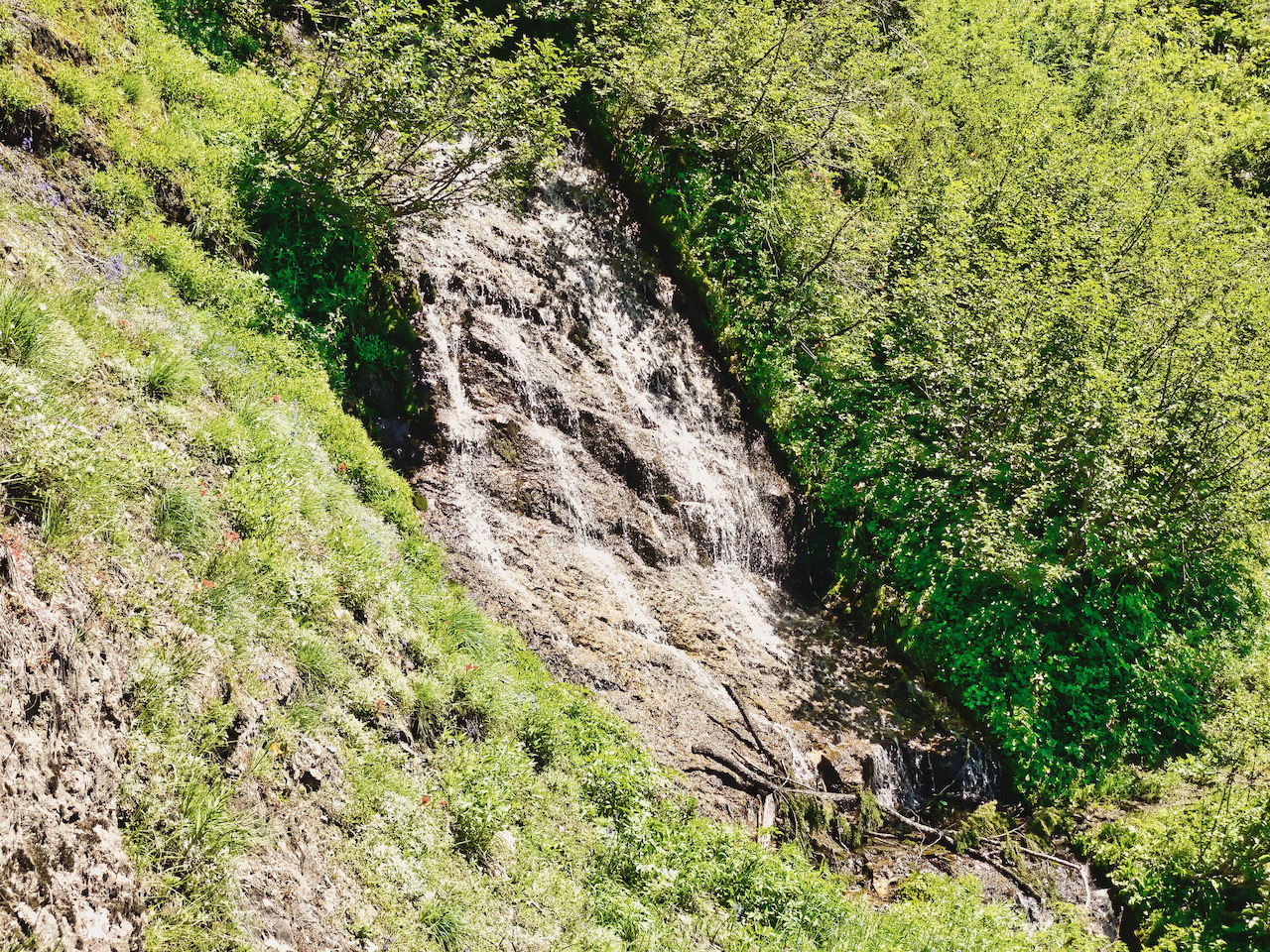
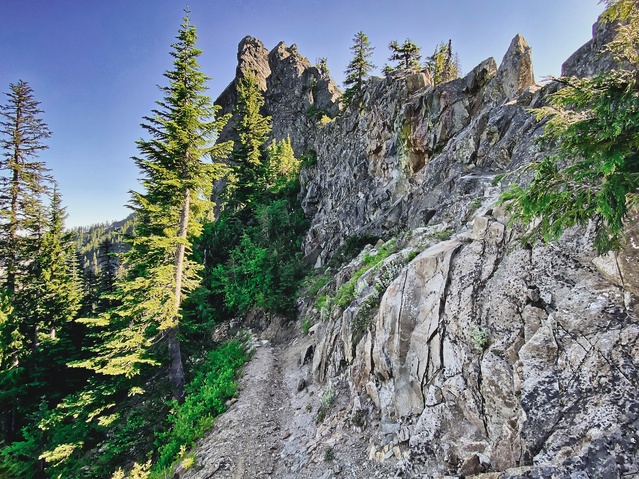
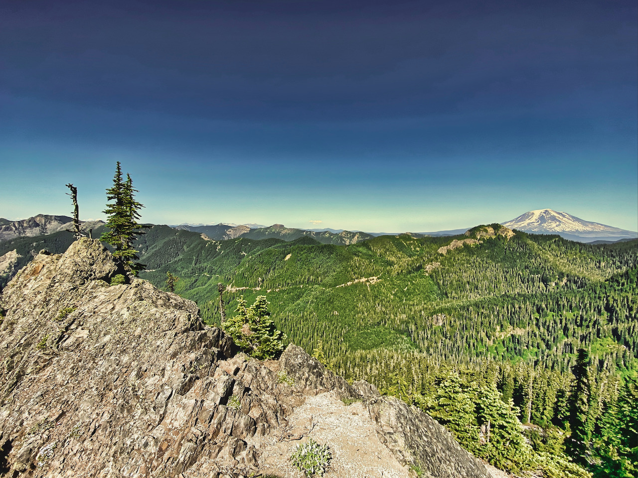
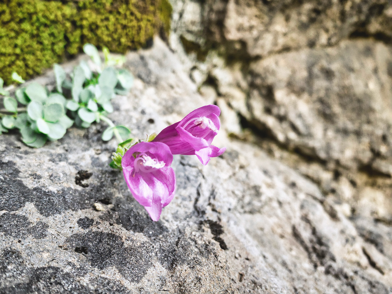
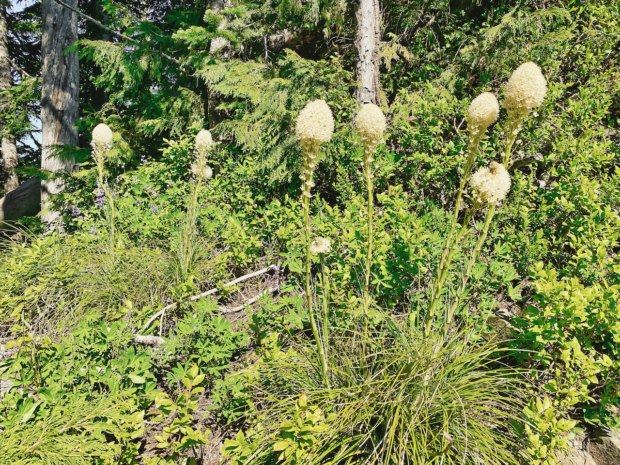
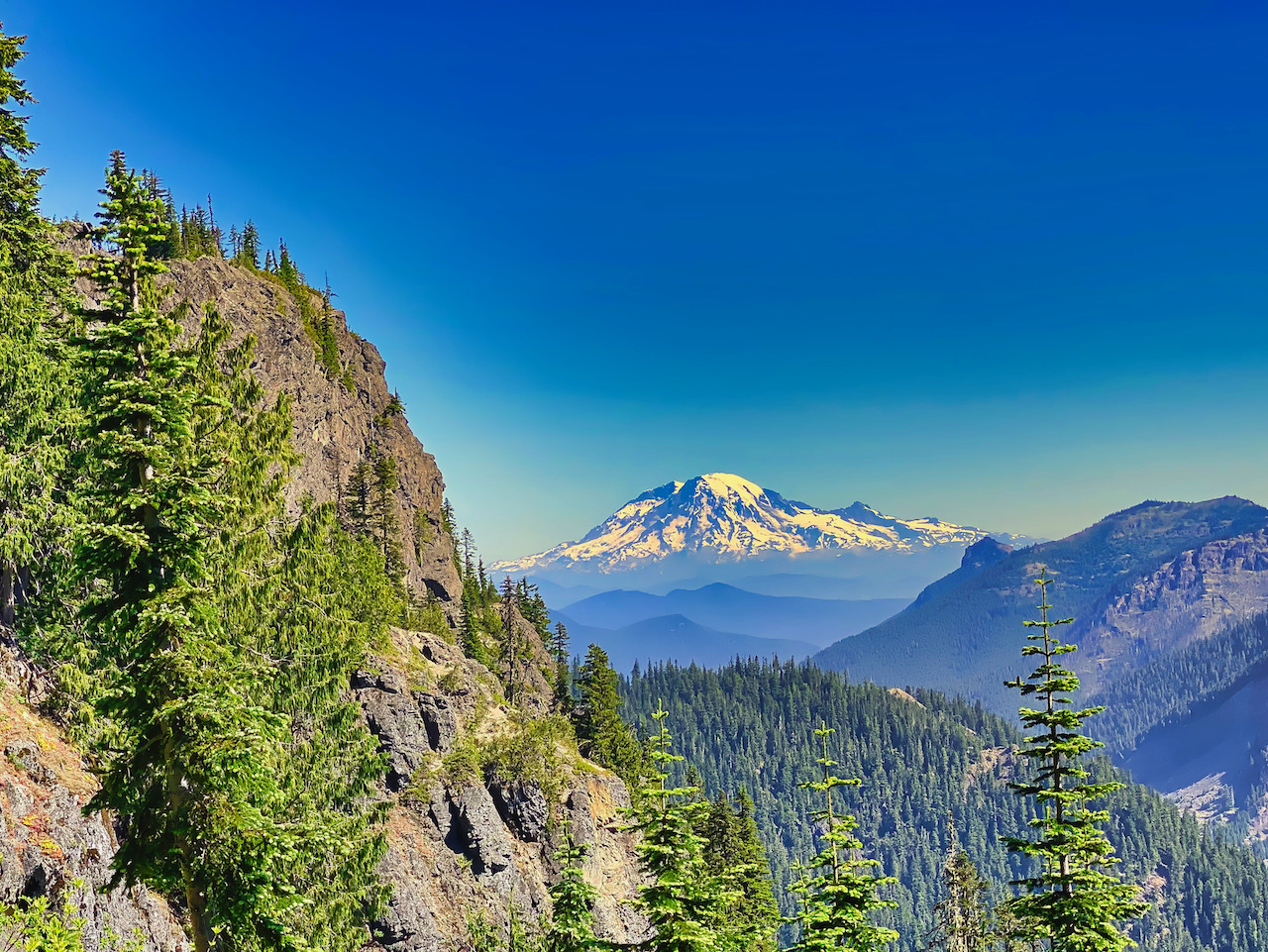
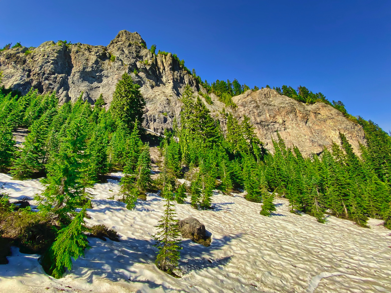
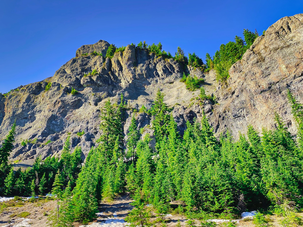
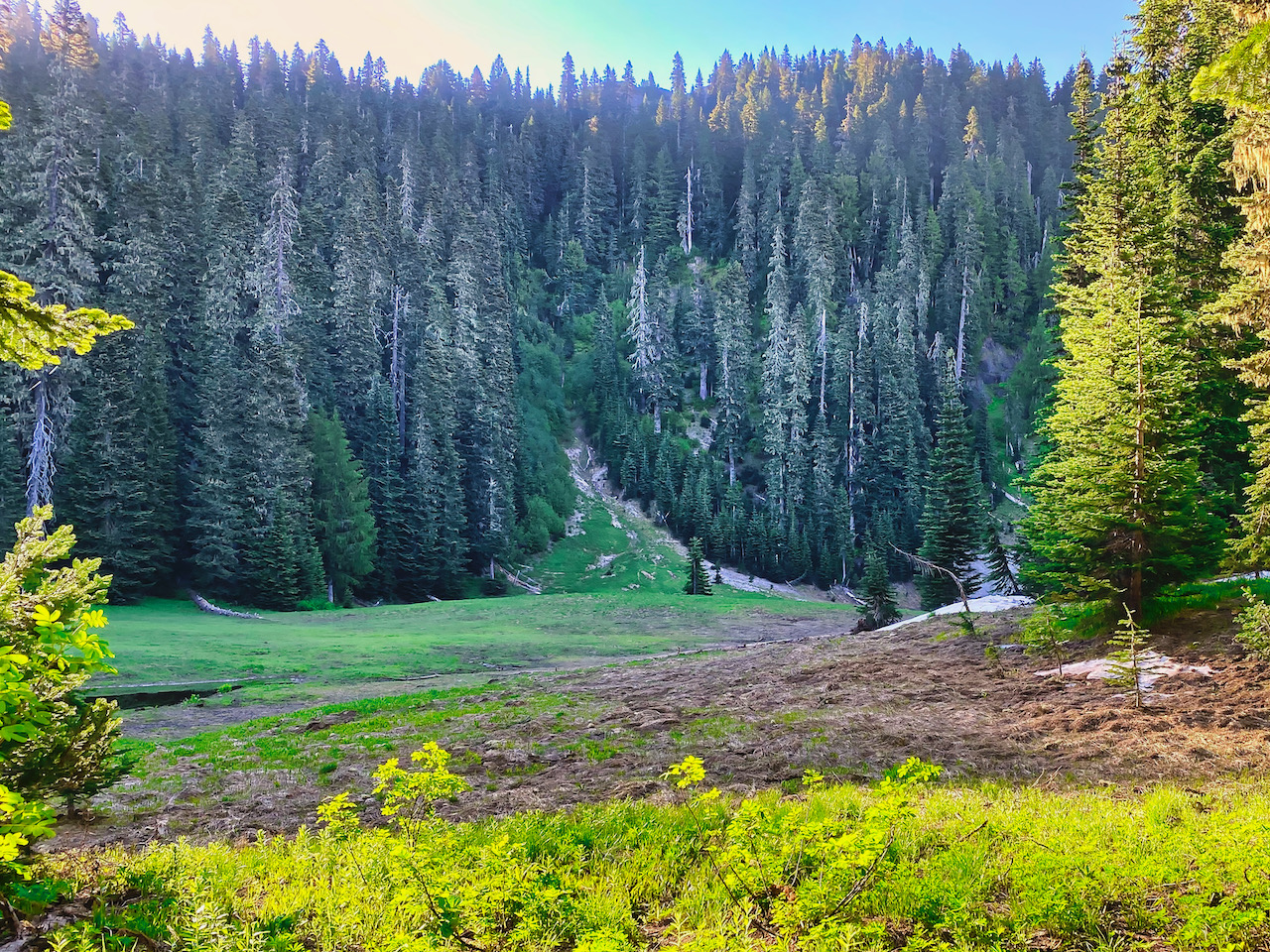
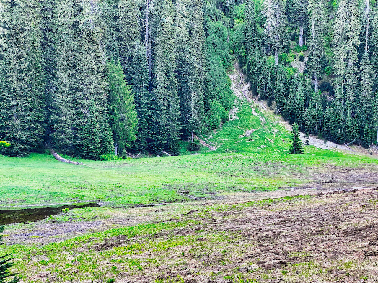
Images taken July 3-7 along the Boundary Trail #1, GPNF
Leave a Reply