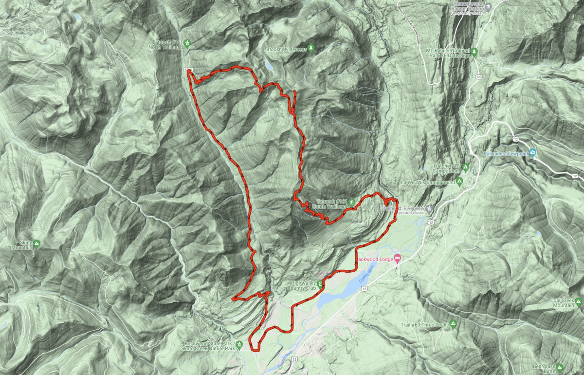
Tatoosh called and I went. All the way. Up, over, and around, and back. By boot and by bike. And it was amazing!
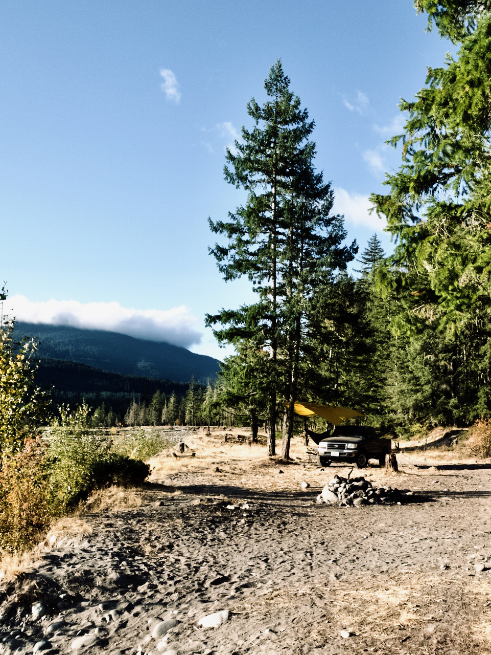
The night before, I had driven in to the valley and up to the Tatoosh North TH, way up Butter Creek Rd (USFS 5270) and ditched my bike out of view in the trees. I then skedaddled back down the road to High Valley, and a sweet campsite alongside the Muddy Fork Cowlitz in the dispersed camping area. It was nearly deserted. I drove up the river as far as I could and hung my hammock between to young firs along the river bank. Suspecting rain at some point, I hung up the fly, too. Then I settled in to watch the sunset and the night sky.
In the morning, I make quick work of breakfast and coffee, then I’m on the trail shortly after 8 am, steaming mug in hand, bound for the trail head two miles ahead and a thousand feet up. I follow the unsigned but well known trail from my camp up and across the road to its end on the last stretch below the TH parking area. And then up, up, up.
By the time I approach the switchbacks, I am wishing I had stopped for water. No worries – the stream will be running at the trail crossing – at least, it was last time. This time, not so much, in fact, not at all. I find it necessary to descend some dozens of yards along the steep stream bed before I could get to a trickle seeping out of the gravels. It was delicious!
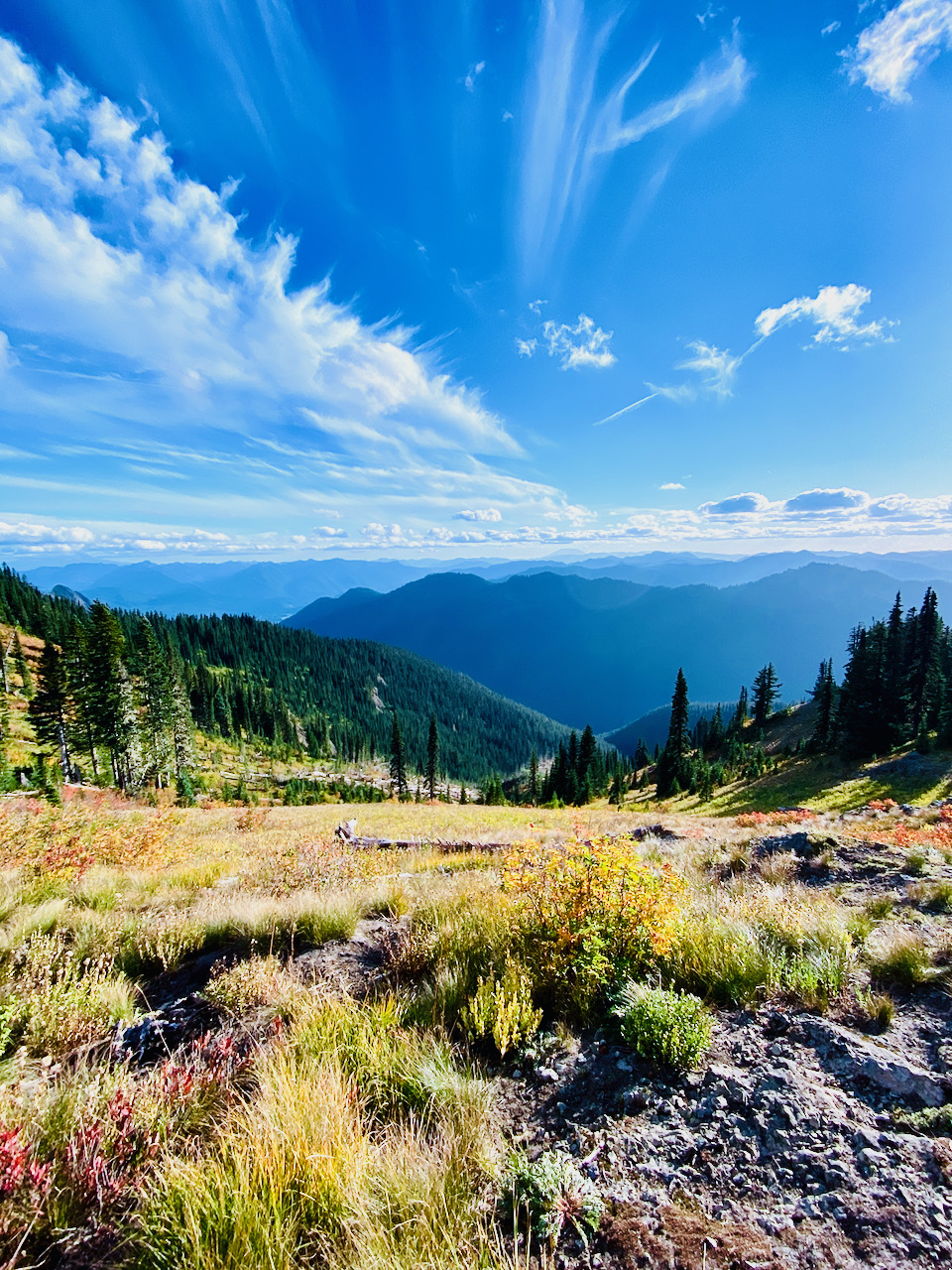
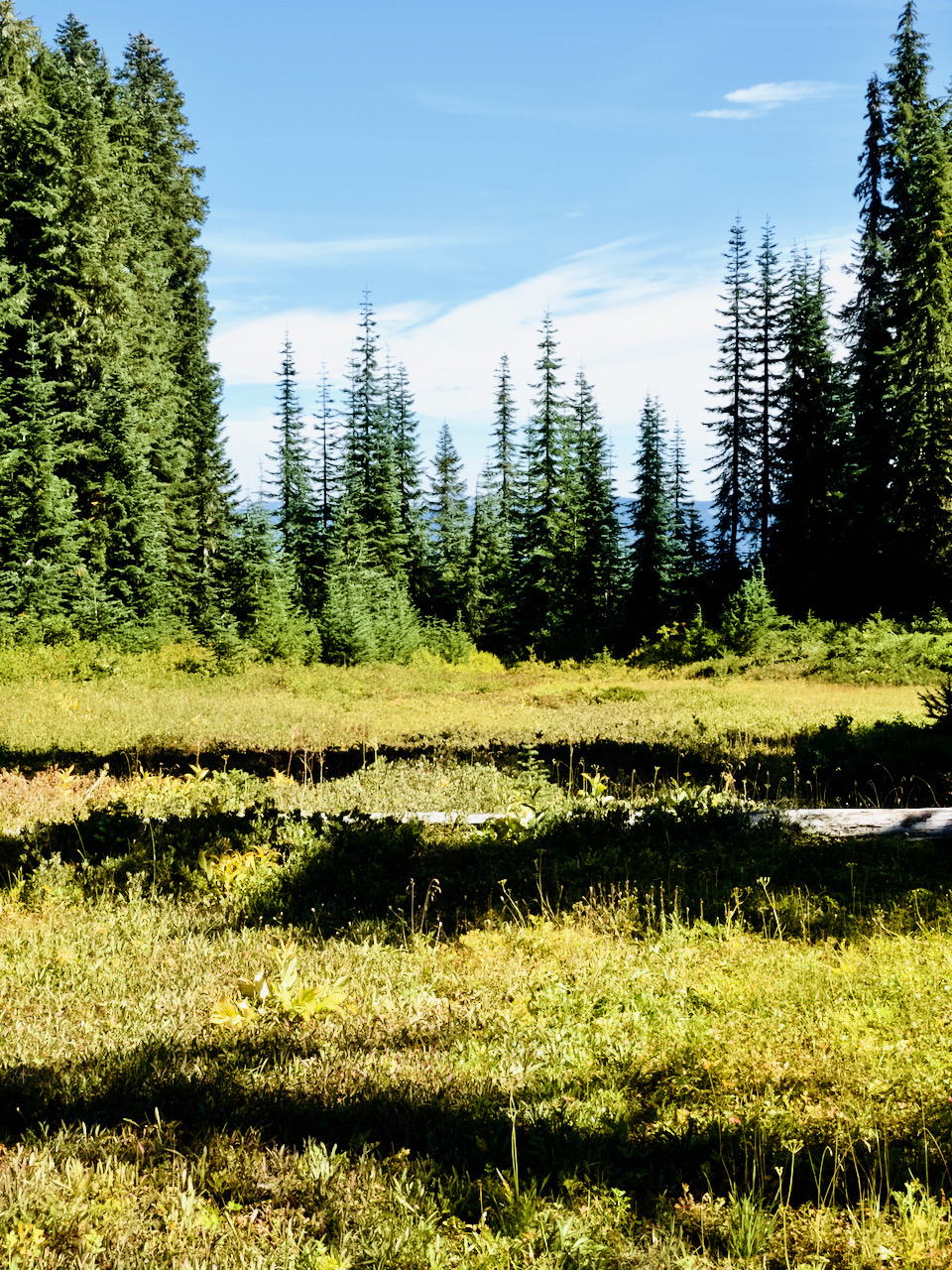
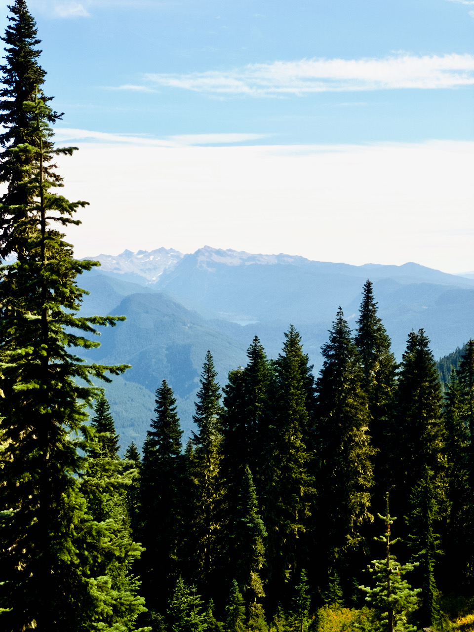
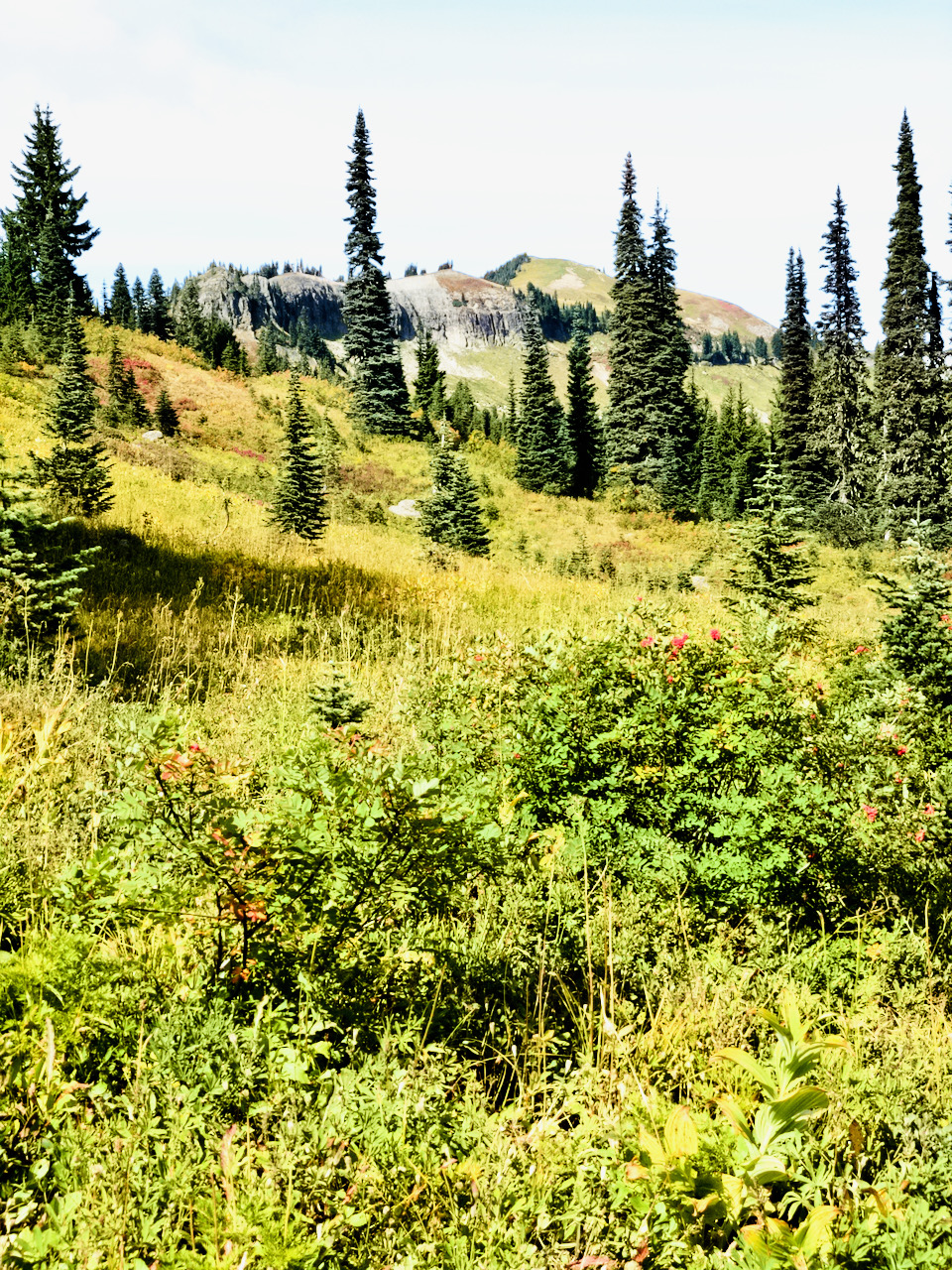
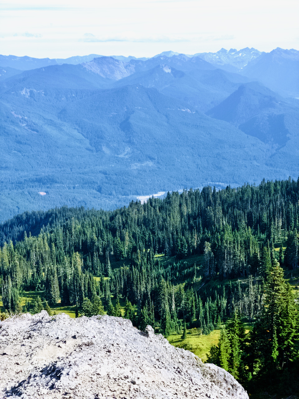
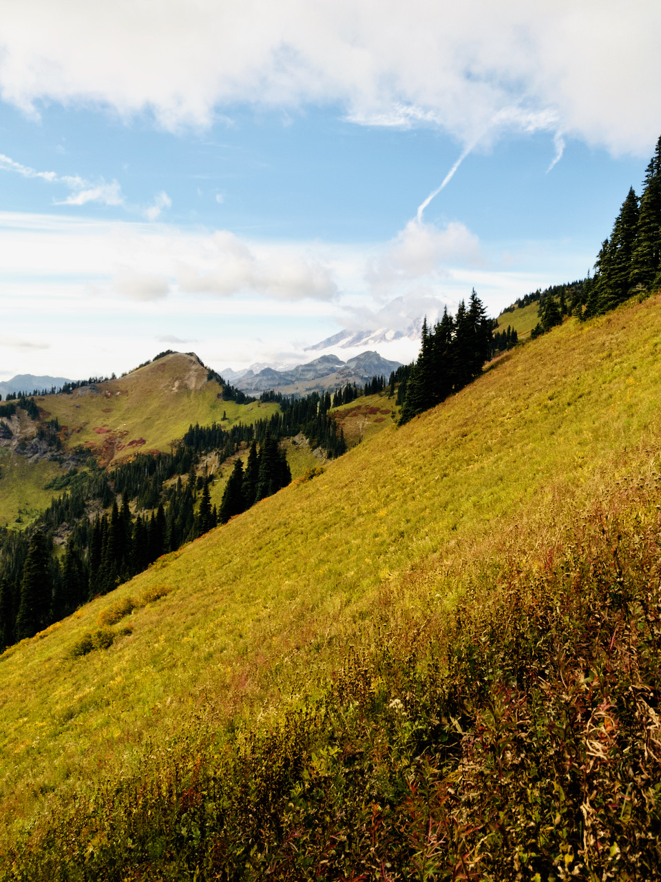
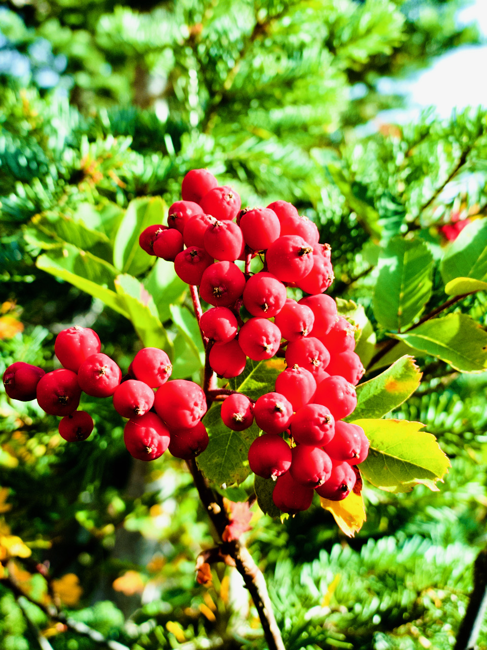
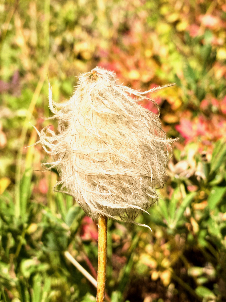
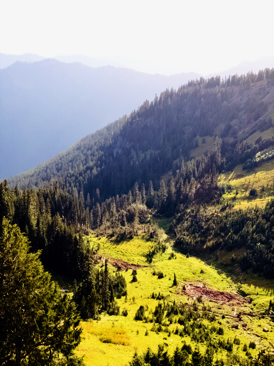
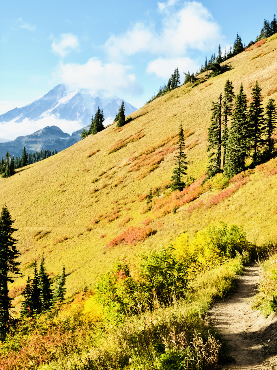
The trail climbs thru deep forest up, up, and up some more, zig-zagging with a moderate grade toward the ridge top. Here, the forest begins to thin, berry bushes are found (some even had delicious berries on them, despite the scorching heat of weeks prior!), and small meadows begin to open up. In one, Bum Springs is located, but has already gone dry for the season.
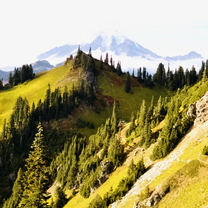
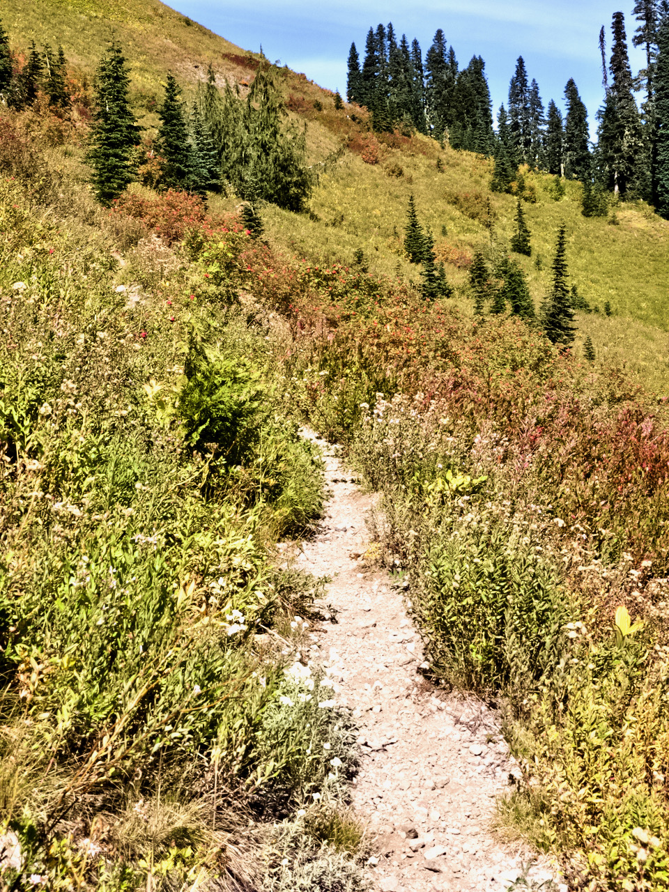
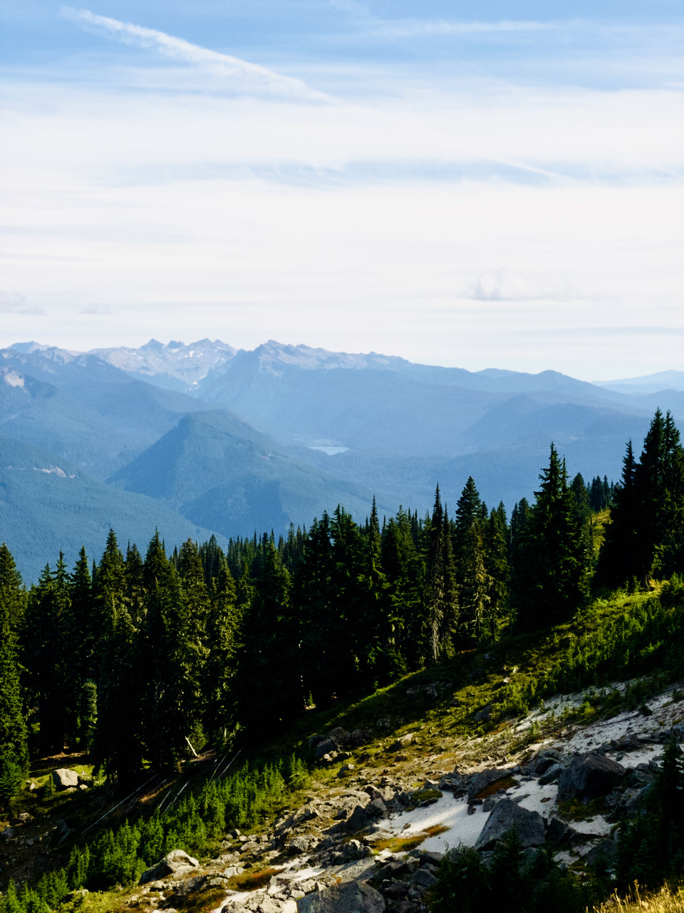
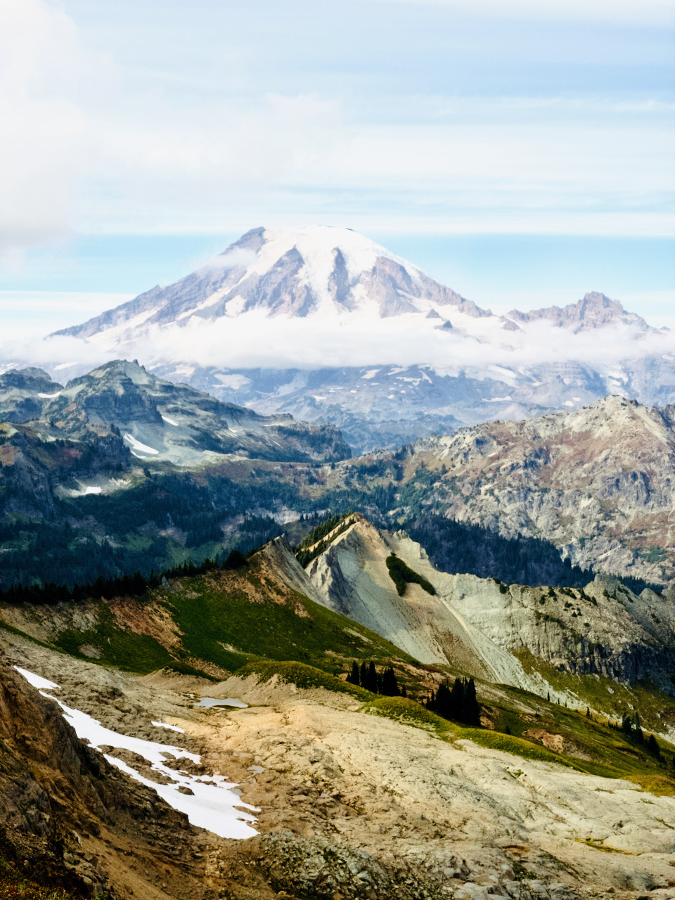
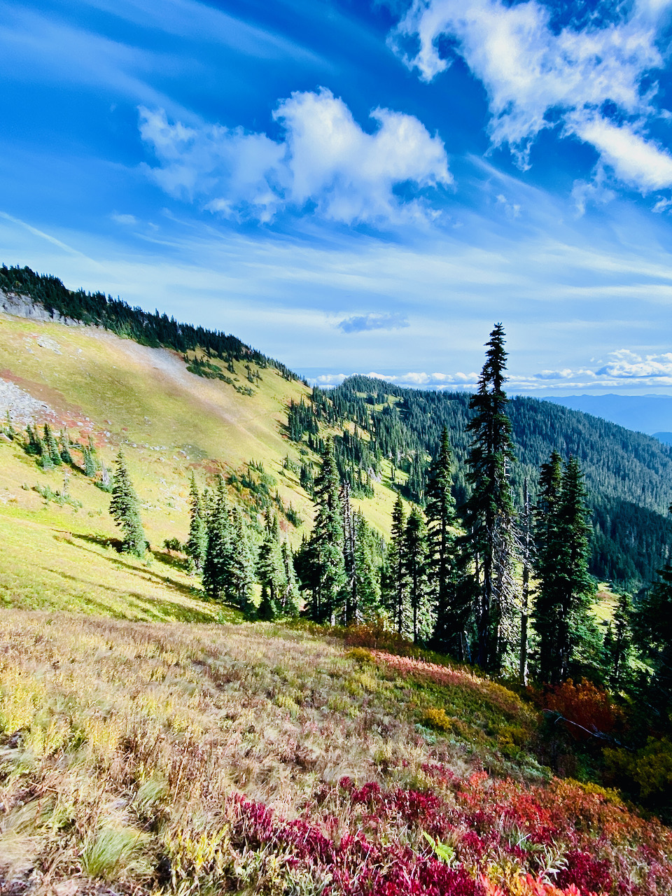
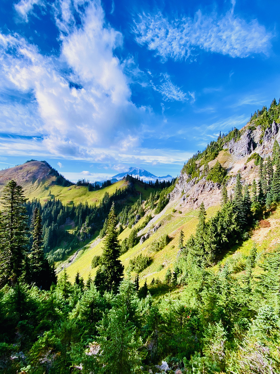
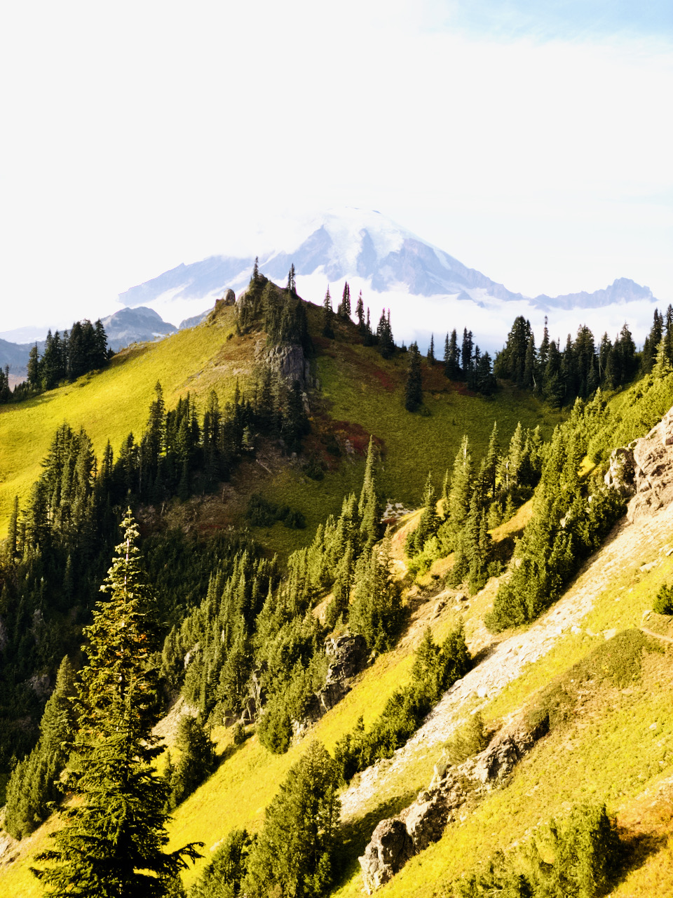
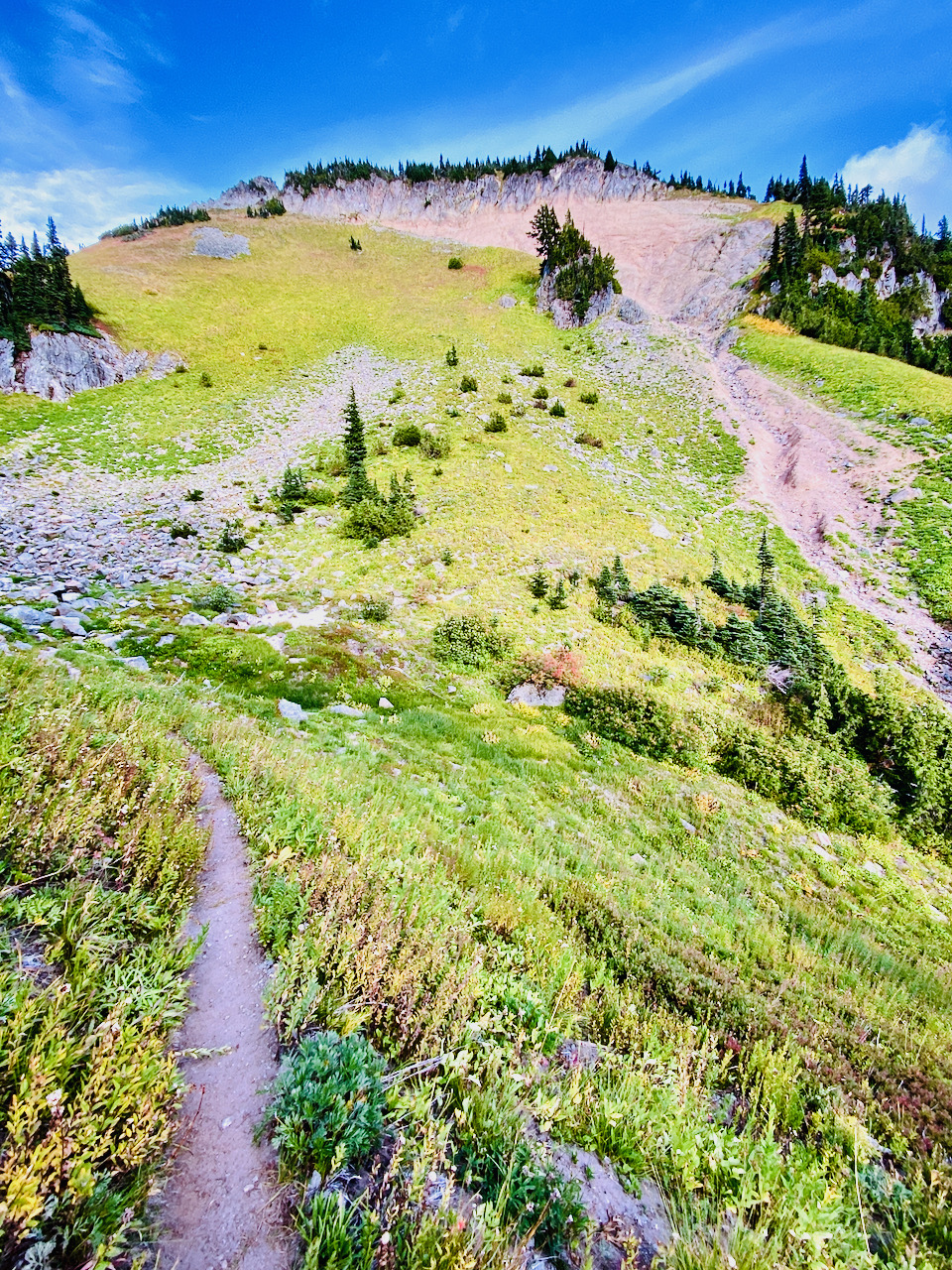
The high meadows are lovely, the summit views gorgeous and winds cold. As I approach the trail junction, I see groups of hikers descending and ascending the spur trail to the summit. They seem to have timed themselves perfectly to allow each a bit of time alone at the summit. My own trip up the spur is similarly well-timed – I pass a descending trio of hikers on the lower portion of the spur, and an ascending pair at almost the same spot on my own descent. I stay at the top just long enough to wander about and snap some pics, and to hunker down on the patch of ground where the lookout used to sit to have a snack. I take a moment to remember old Martha Hardy – fire lookout, author, and (in my childhood memory at least) grouchy old woman in a big station wagon.
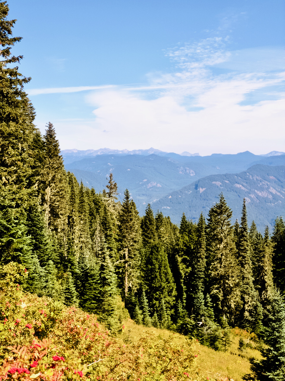
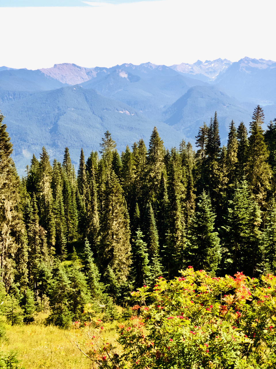
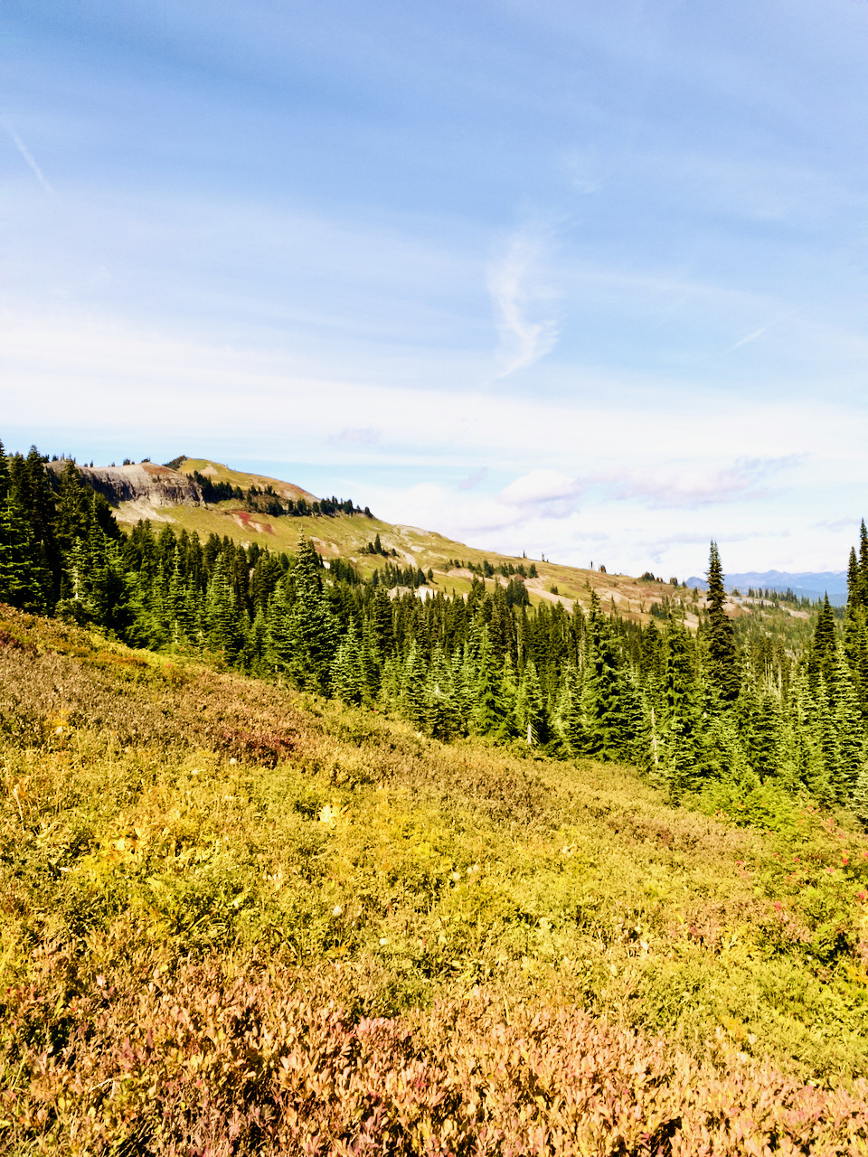
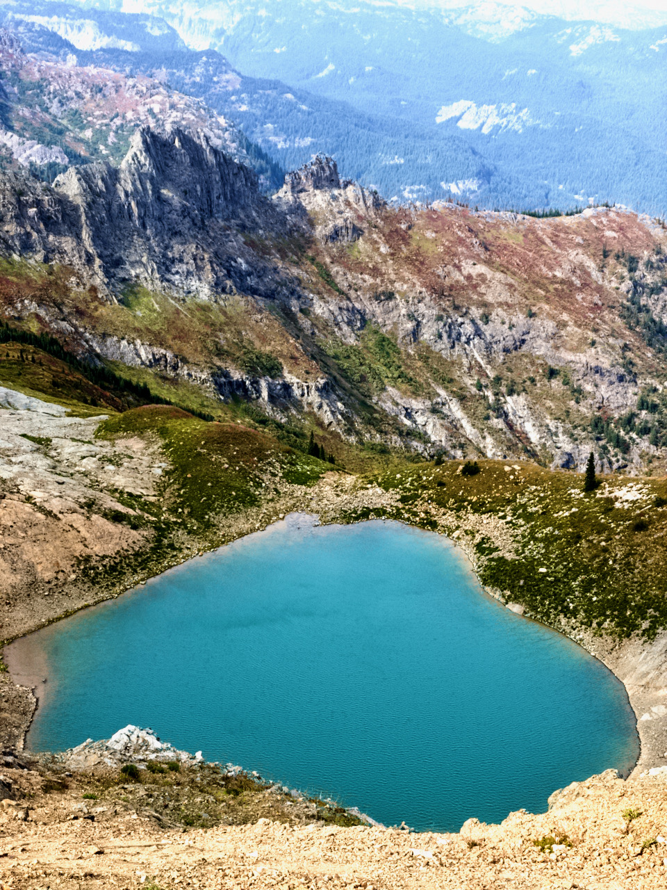
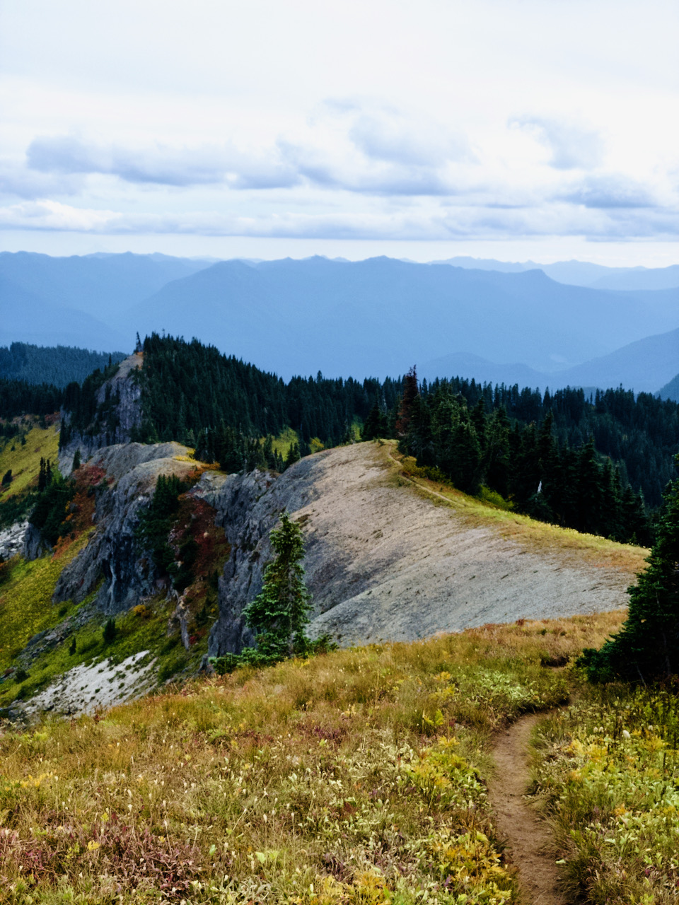
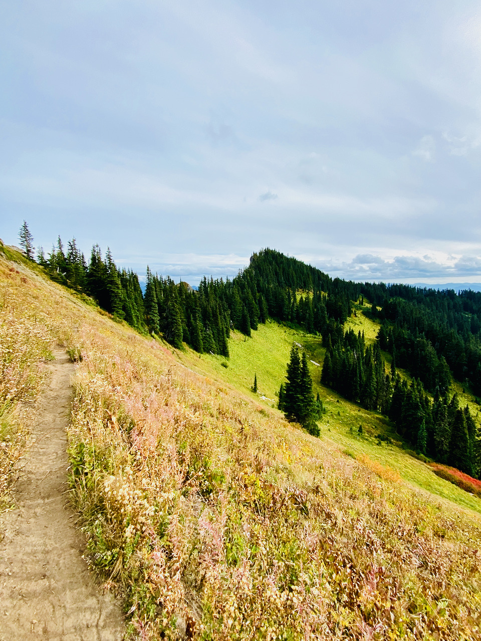
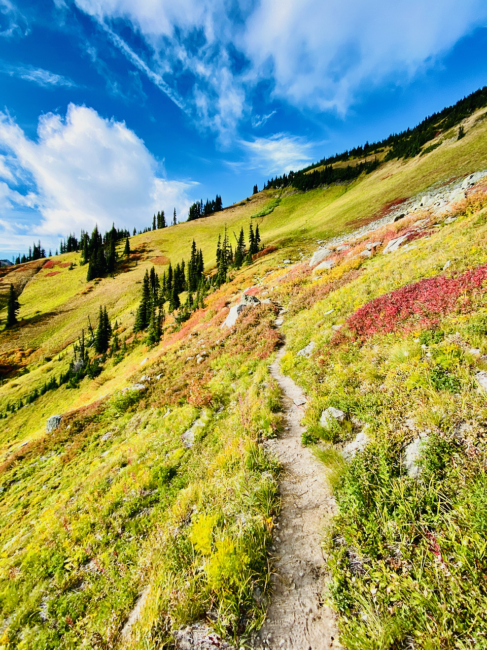
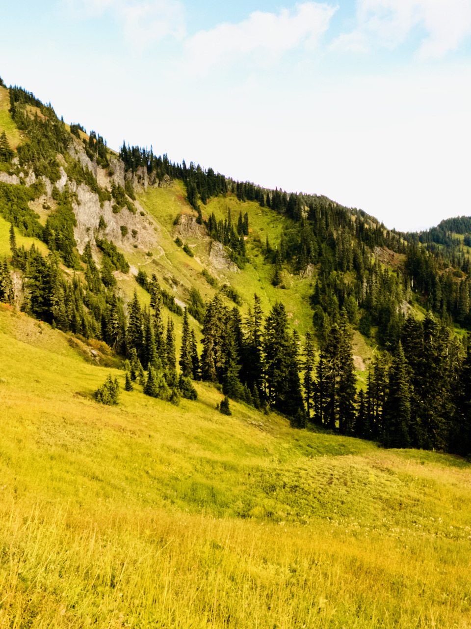
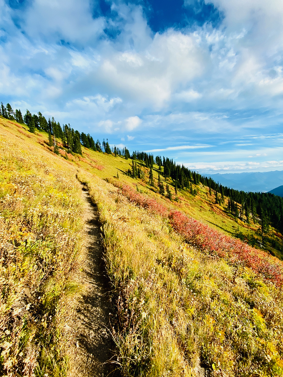
Back to the trail, I continu north, then west, necklacing thru the high meadows hanging below Tatoosh Peak and Pt 6050, curving back to the south. Given the already failing light, I make a mental note to come back and follow the social trail to its summit overlooking Tatoosh Lakes some other day, carrying on after a very short break where the trail crosses over the shoulder of the mountain and curves back to the north – nice views here.
I encounter a trio of hunters, sitting on the trail, gazing down across the meadow. It took some effort to make enough noise to attract their attention so I could ask to go by. Paying them no mind beyond that, I continued along, my pace good, with no loss of stamina. I’ve been at it all day now, but these mountains are energizing.
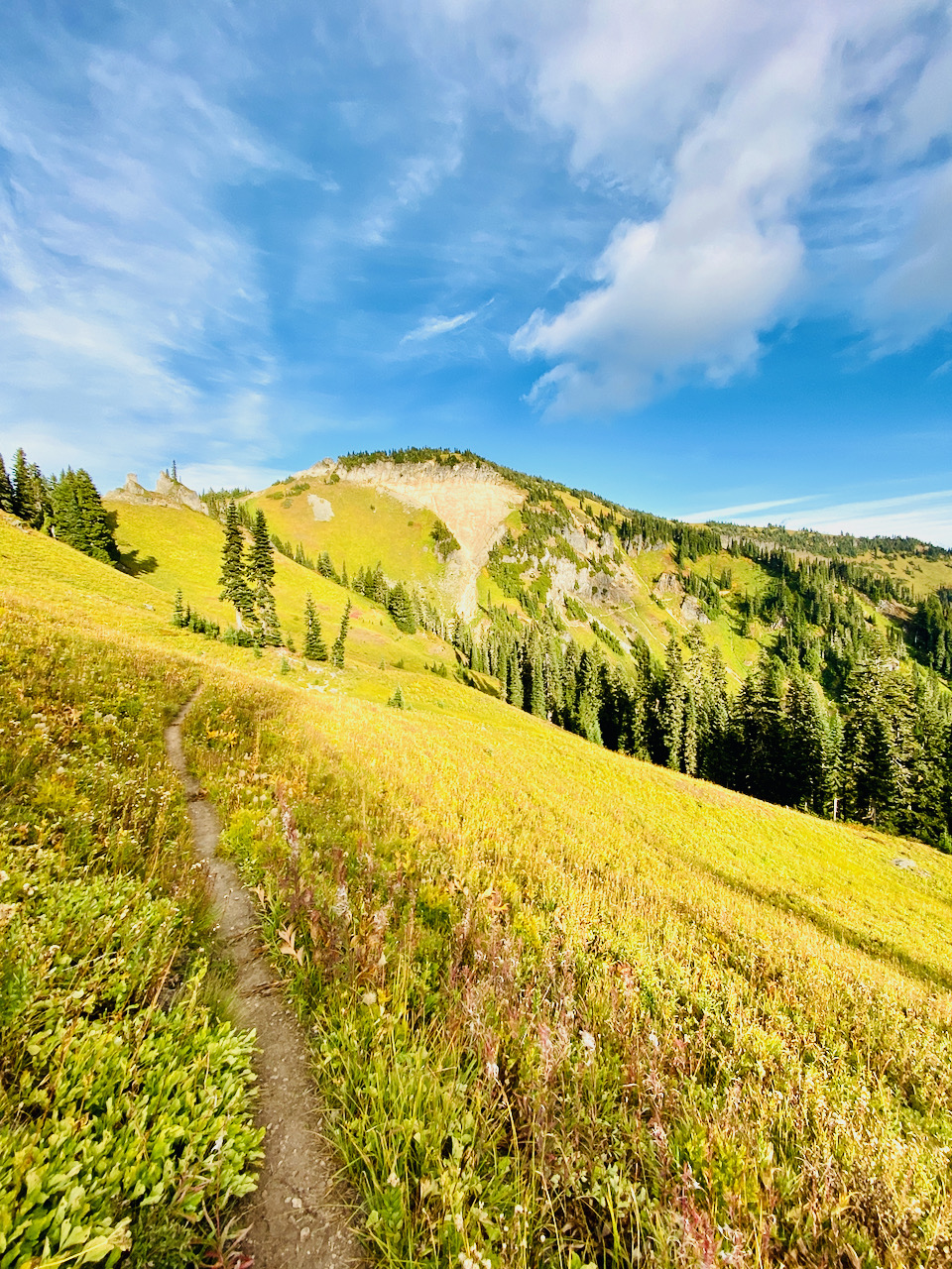
I take a moment to soak it all in again when I get to the junction with the trail to Tatoosh Lakes, but only a moment – I had wanted to get back to the road before full dark. It hadn’t occurred to me before, but my bike might be just a bit hard to find in the dark if I can’t see enough to recognize my marks and tells. Beyond here, the trail begins to descend, and after a spell of fast travel down moderate grade, I take another spell on some boulders at a small creek. I need water and a breather. My legs are starting to get tired at this point.
Back on the trail, descending thru thickening timber, I make it to the final approach just as dusk is starting to become dark. Sure enough, tho, my timing is perfect, and I have just barely enough light to see the large stump behind which I had hidden my bike some yards down the road from the trail head.
With bike retrieved, boots swapped for shoes, extra layers donned, lights strapped on, and a bit of food and water in my face hole, it is time for a bomb down the USFS 5270 Road back to High Valley, and on to my camp. The night sky, where I could see it thru the trees, is clouding over, but some stars are still out, here and there. The gravel road, rutted in some places, washboard in most, pocked with craters of all sizes and shapes, presents a moderate grade down to the crossing over Butter Creek. I walk the grade south of the bridge until it levels back out, then resume my ride down toward Skate Creek Road, turning off on USFS 5280, a side road I am certain would have no traffic. I knew it would pop back out on Skate Creek Road right at that first hairpin, avoiding any potentially risky travel. It is, however, very rough, being just washed river gravel. Back onto pavement on Skate Creek Rd, thankful for the smooth ride, then down to Craig Road, and out Cannon Road thru High Valley and on to the end of the pavement. By this time, I’m exhausted. The ride has been almost entirely downhill but much of it was very bumpy. I choose to walk the remainder of the distance from the gate to my camp.
It takes me a while to wind down and finally get ready to hit the sack, but I sleep rather soundly. I awake the next morning to rain. I’m sure the firefighters up over the pass are happy for that. Truth be told, I had always wanted to do that – hike the trail, bike the road, make a big loop of it. Now that is marked off the list – only a thousand other items to go.
Absolutely maximal type 2 fun!
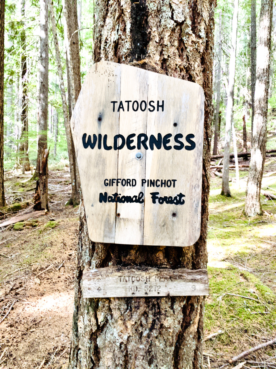

Images taken September 15, 2021 in and near the Tatoosh Wilderness, GPNF.
Leave a Reply