I’ve long wanted to get up into this high country above Packwood, along the very top of the Coal Creek Mountain. I tried once before, but got turned back by snow. And the entire area has been closed d/t the wildfire last summer, until just this past week. So, up I go!
I start out at the Lily Lake TH – the road has been graded and fixed for travel again, and was not quite so torn up in that last very steep bit. There are a couple of vehicles already parked here. A horse-trailer arrives while I am getting ready to set out.
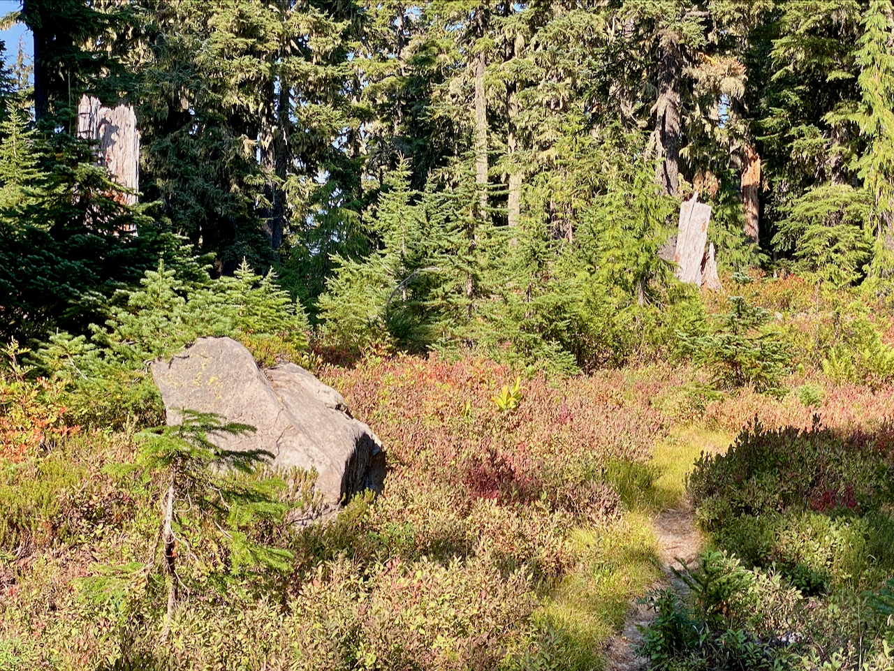
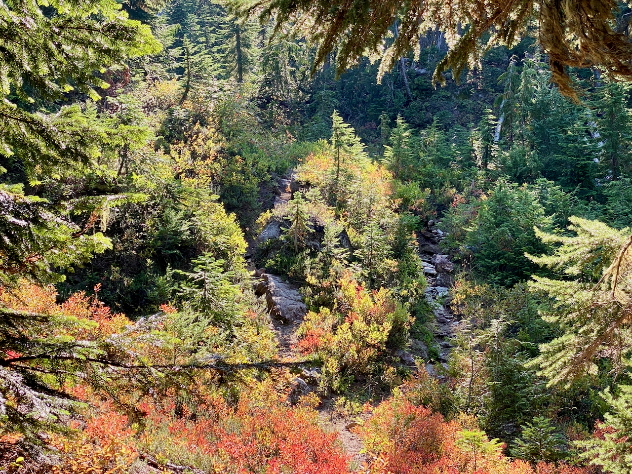
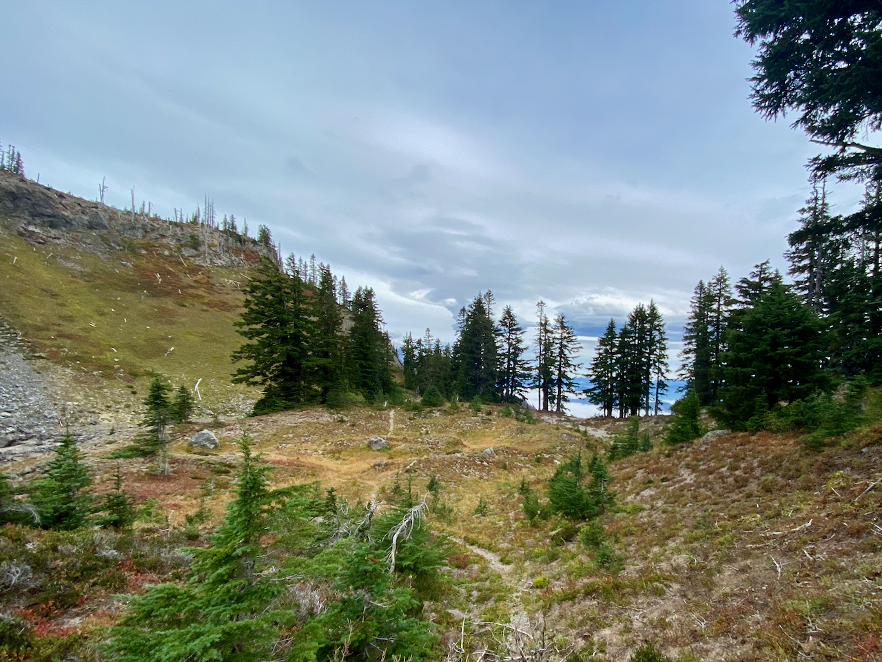
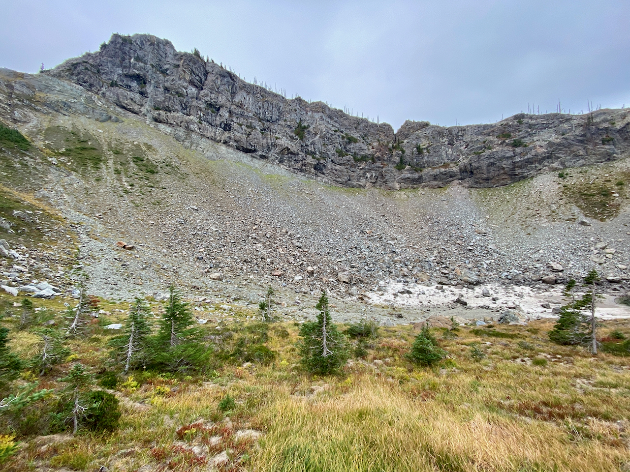
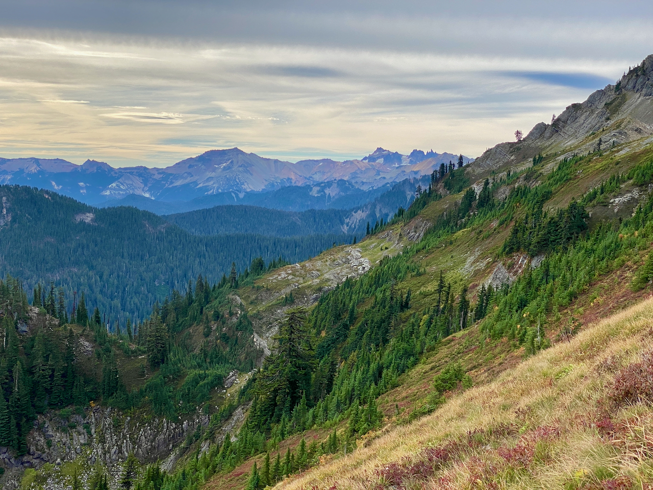
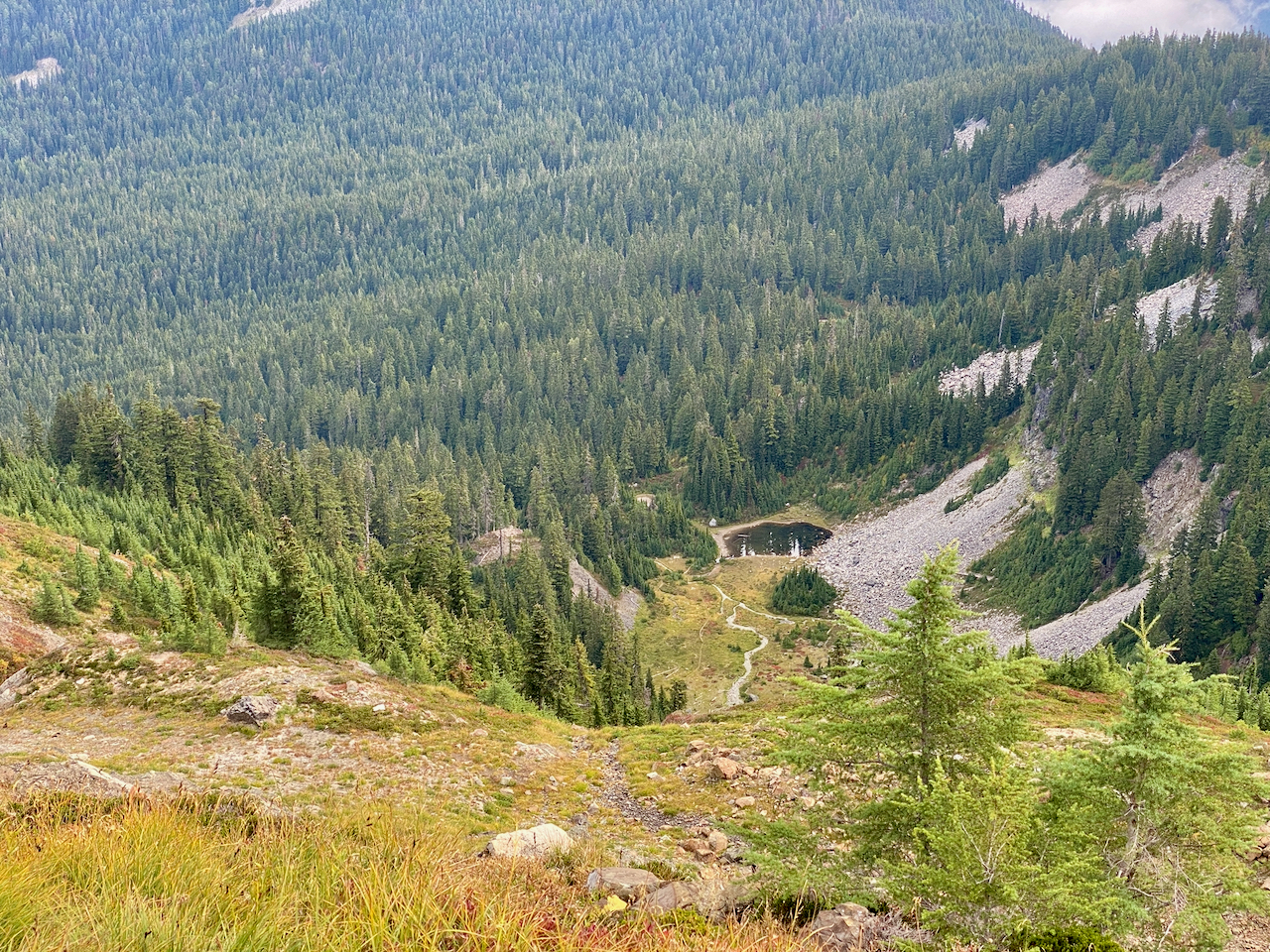
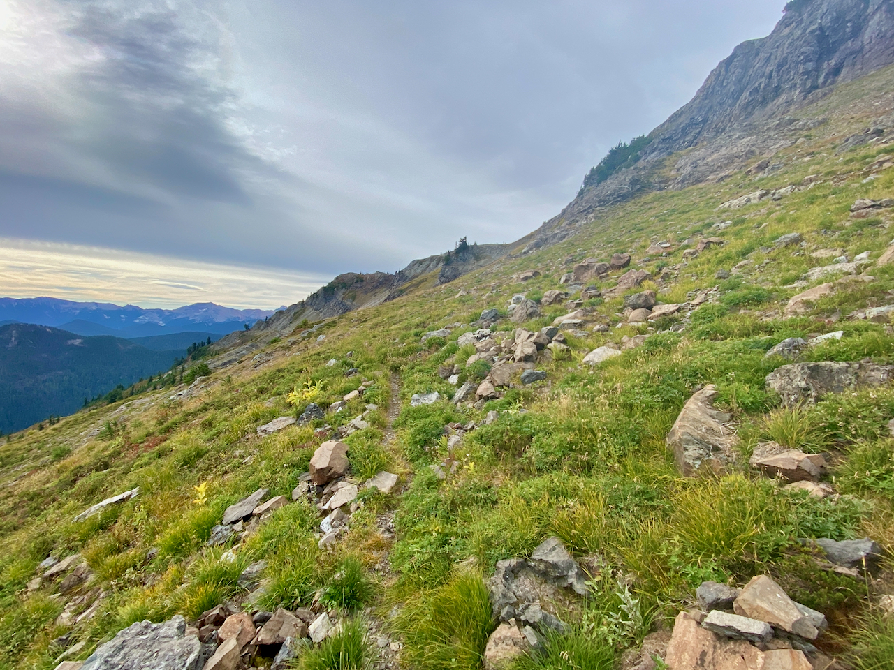
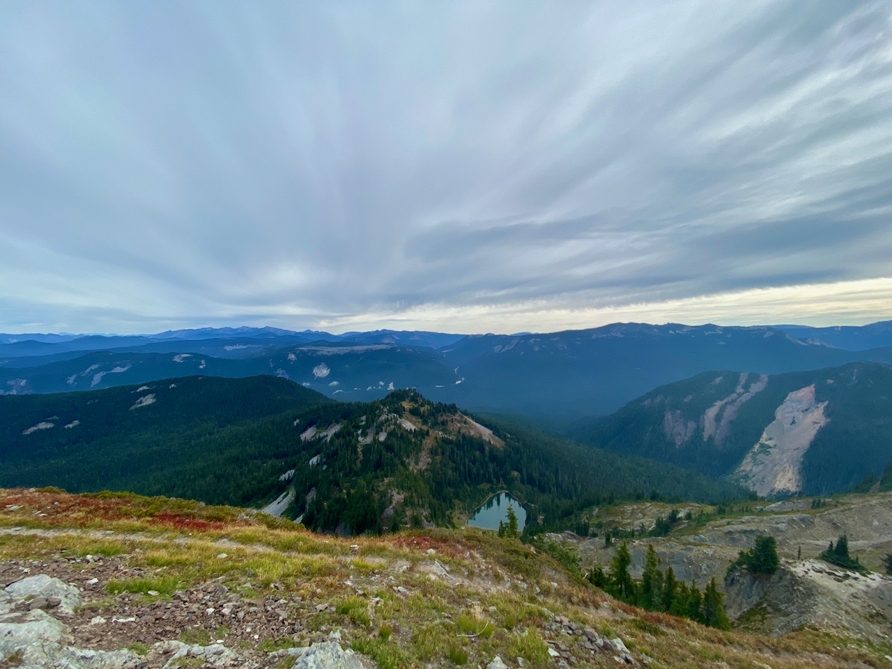
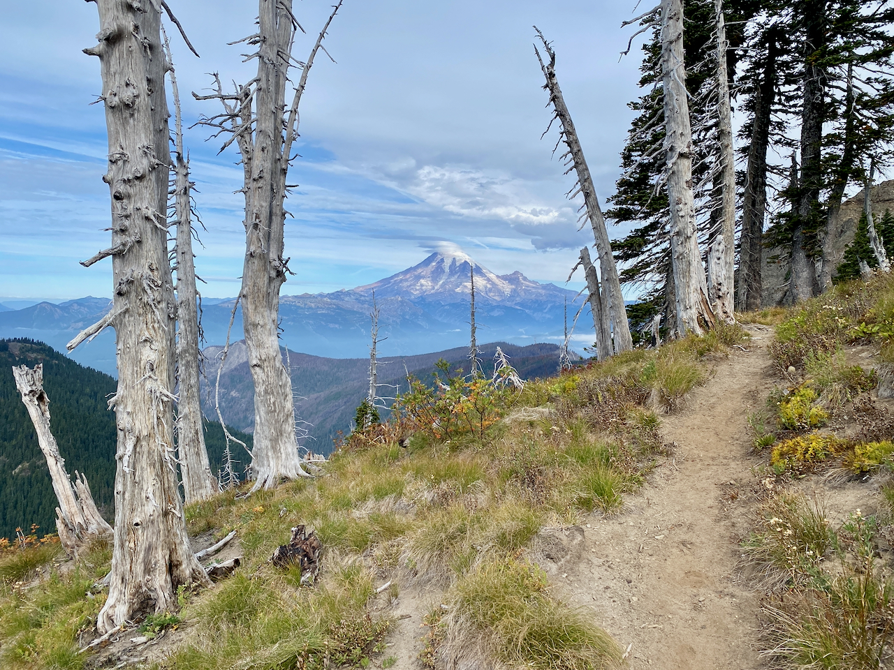
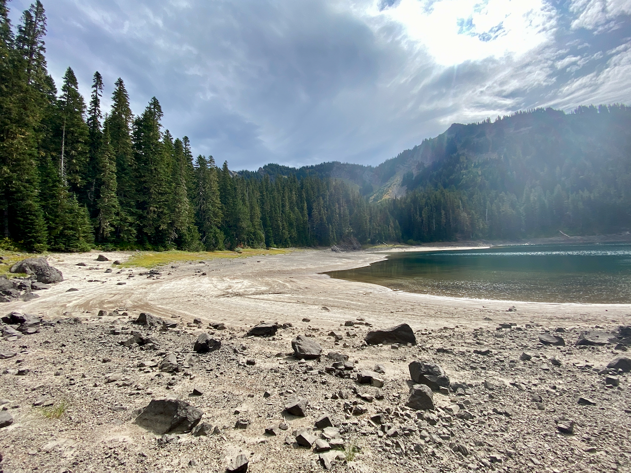
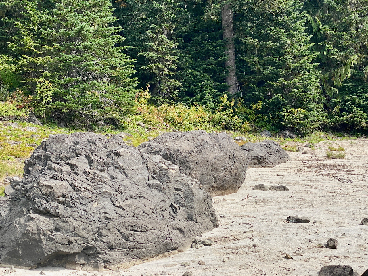
The lovely sunny day passes quickly as I hike to the old tumbled down wilderness shelter at the trail junction a couple of miles in. From here, I follow the Clear Lost trail up the eastern face of Coal Creek Mountain, passing a small tarn before the trail turns onto steeper slopes and climbs up to Lost Hat Lake. In less than 4 miles, I climb roughly 2000′, to the lakeshore a few hundred feet below the ridgeline under some very dramatic cliffs. I find a nice area overlooking the lake to set up my hammock and wander down to the shore to filter some water.
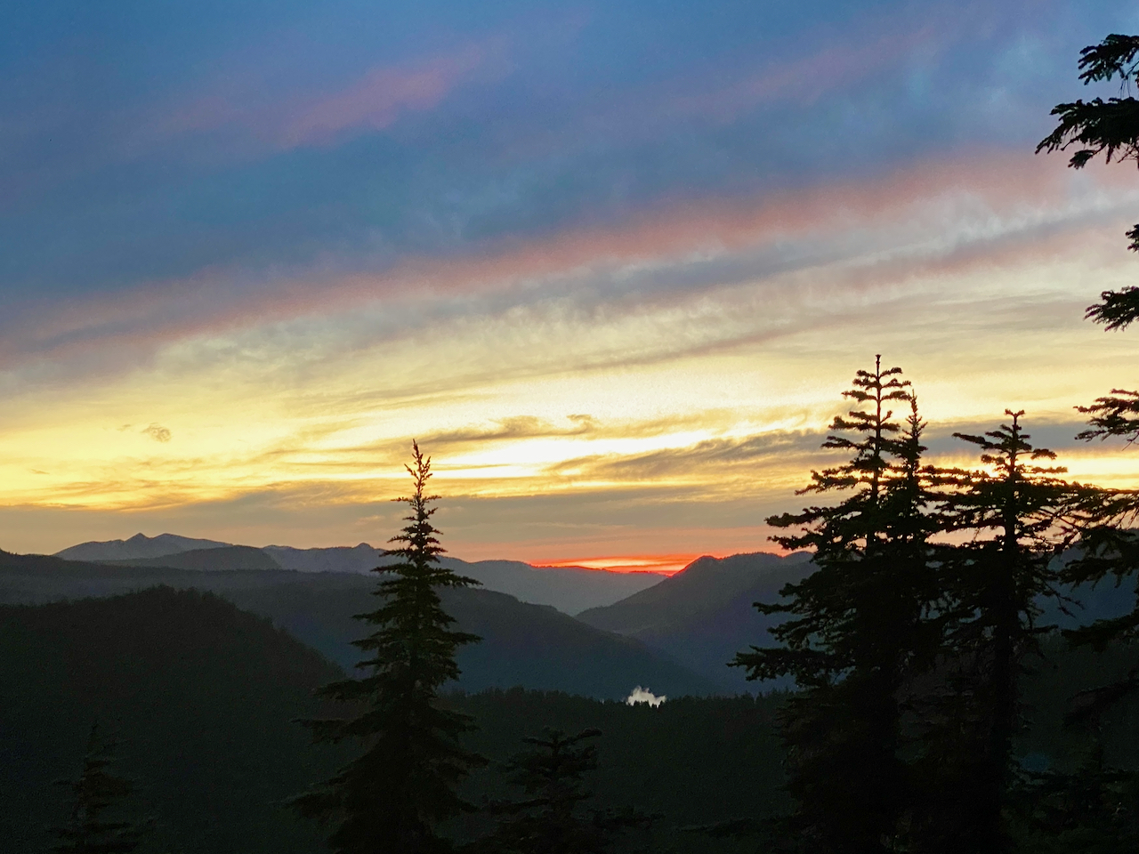
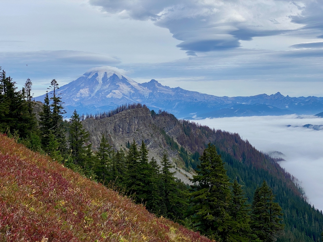
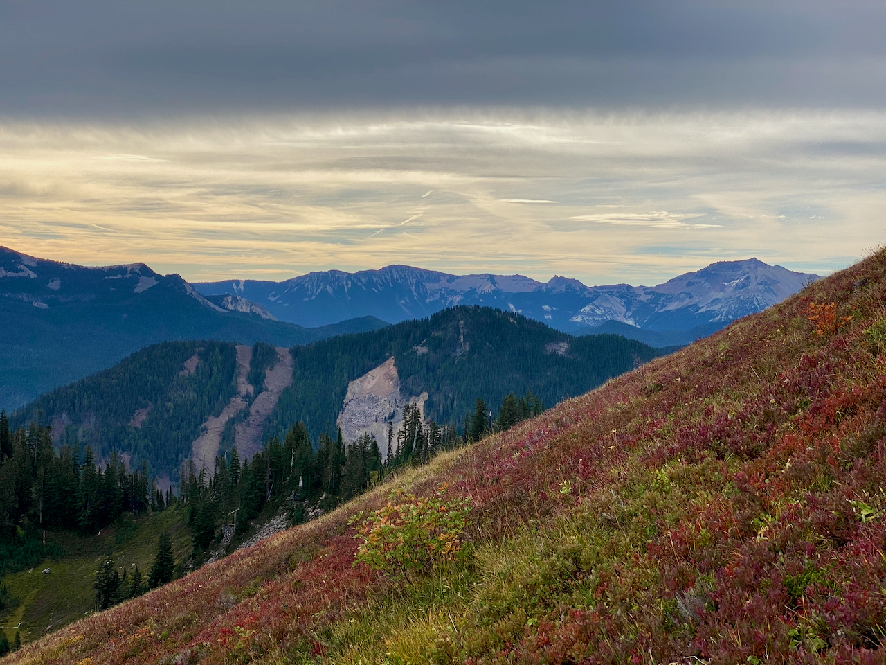
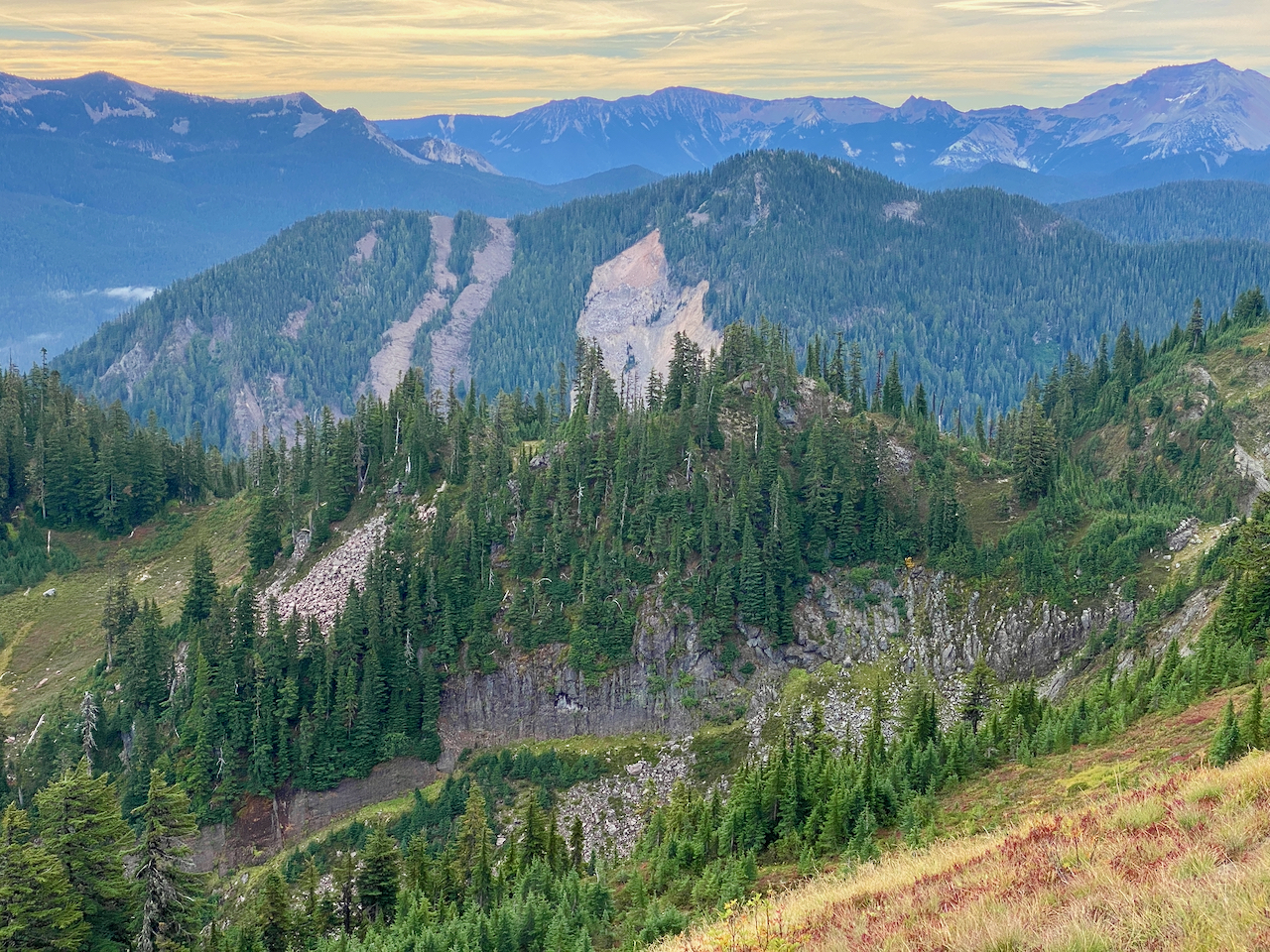
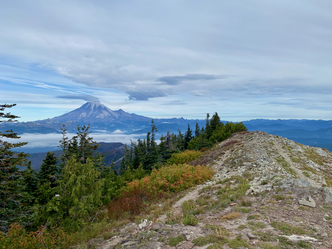
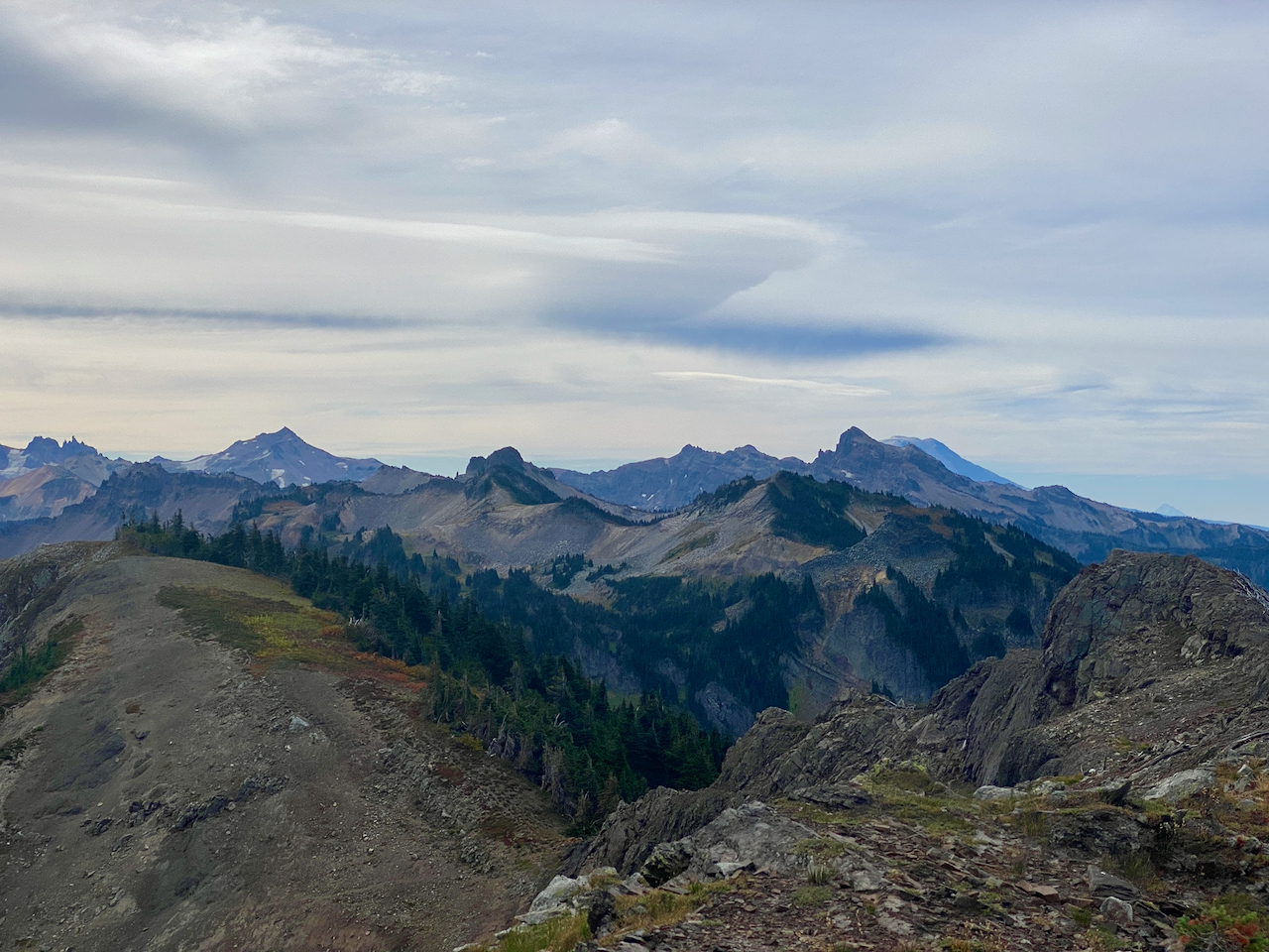
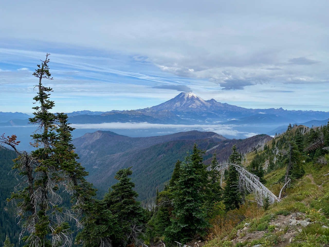
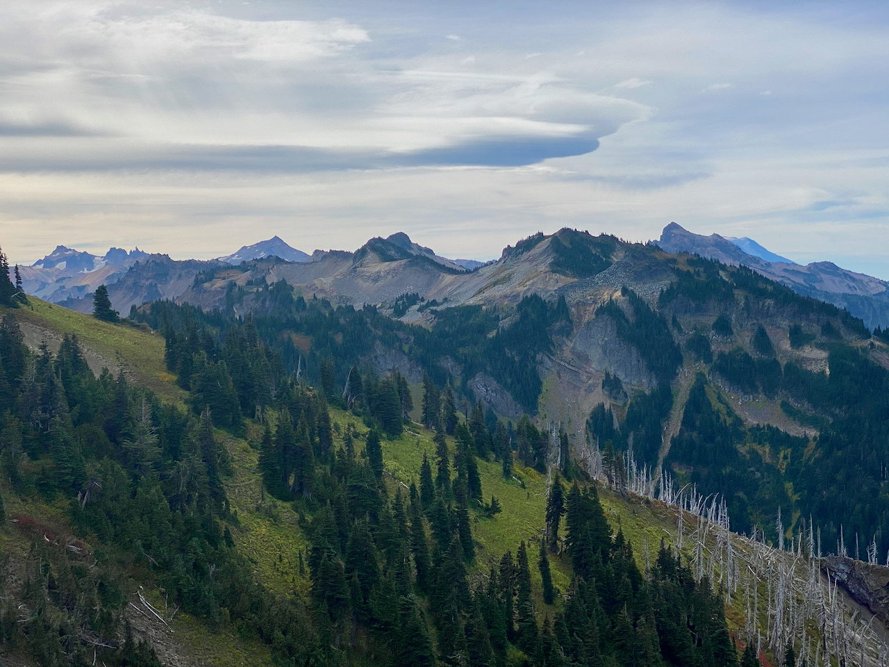
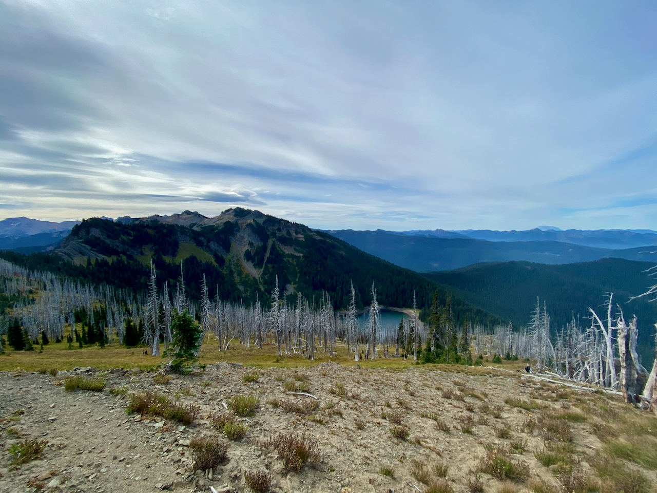
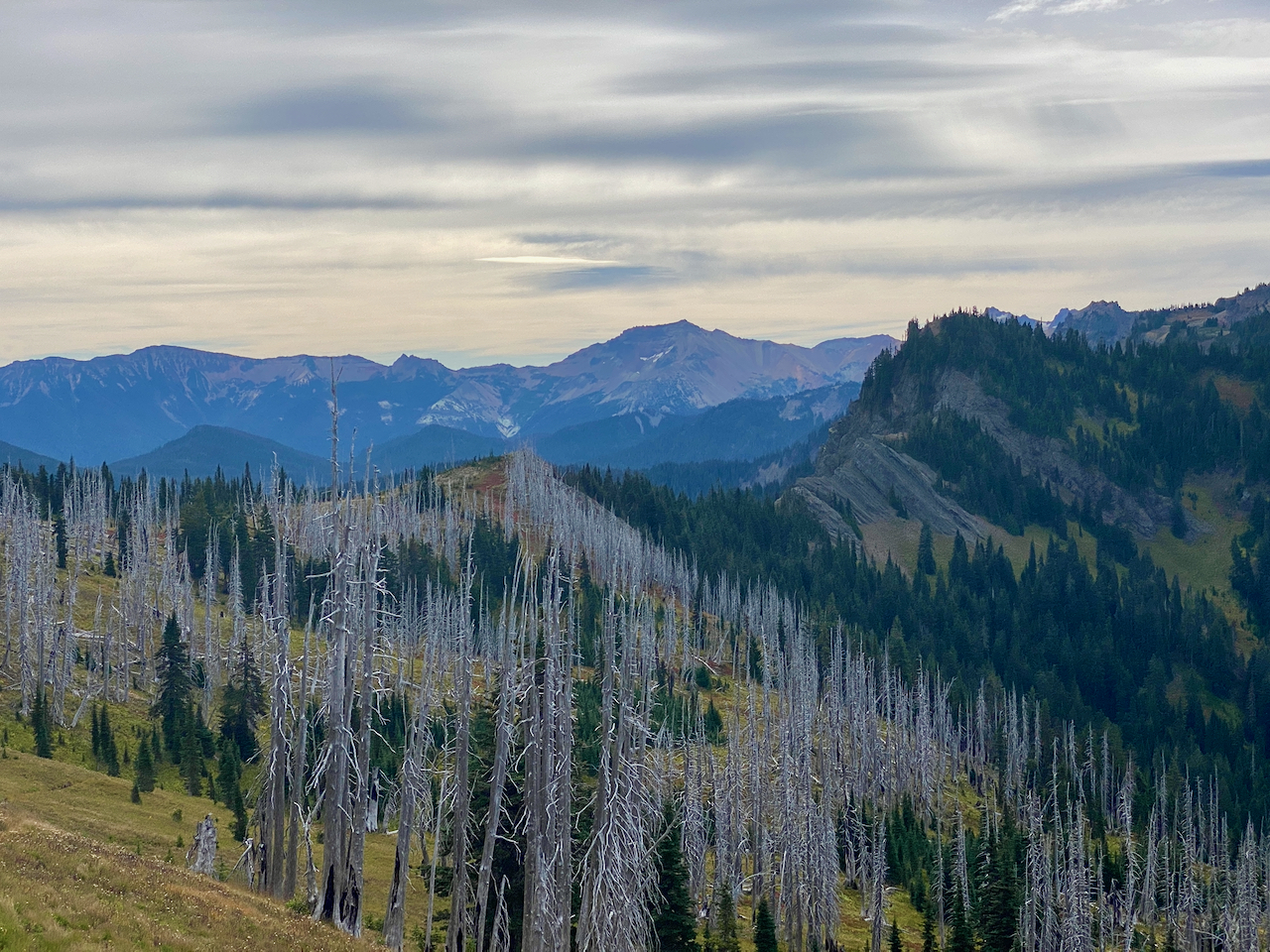
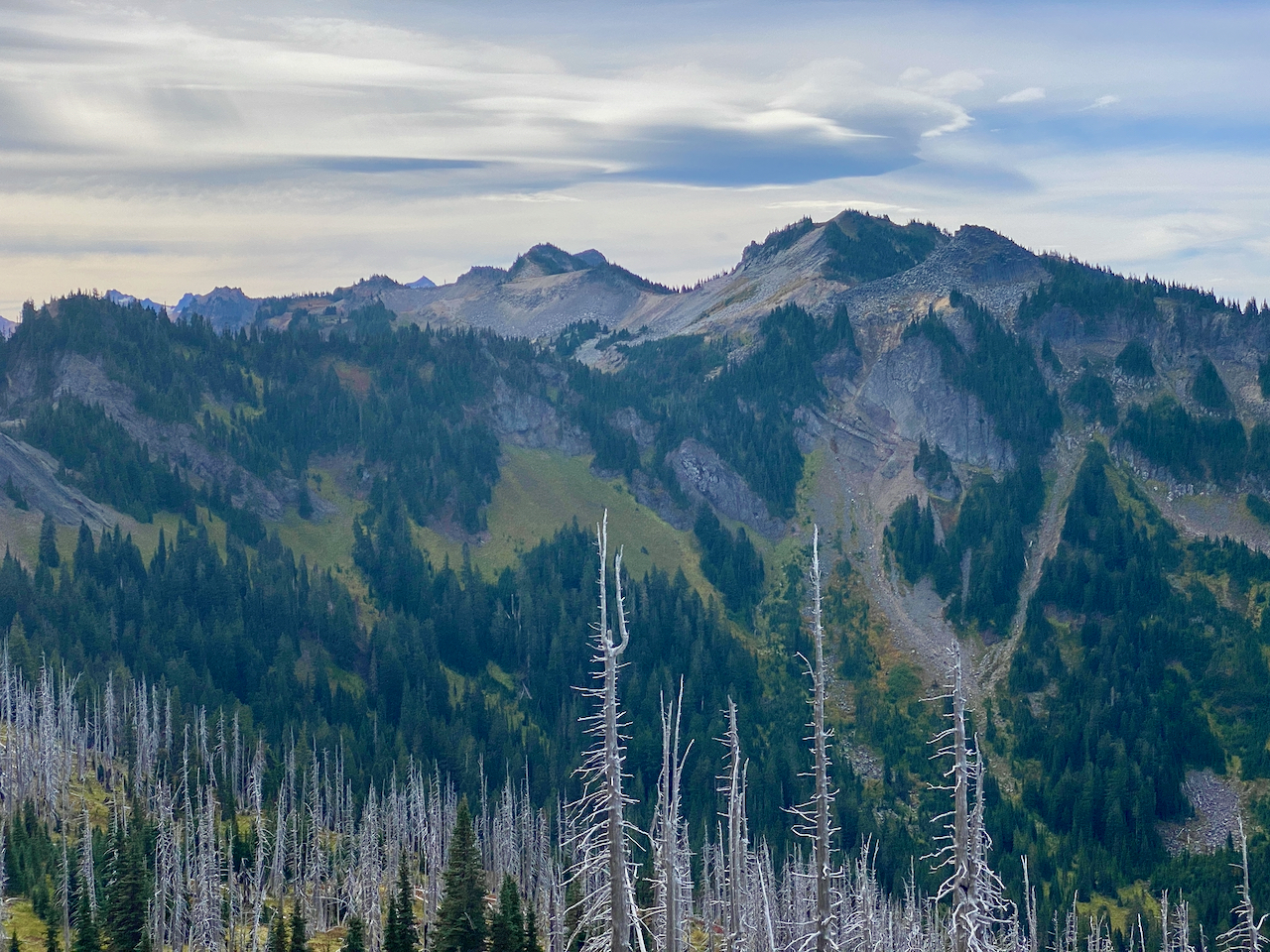
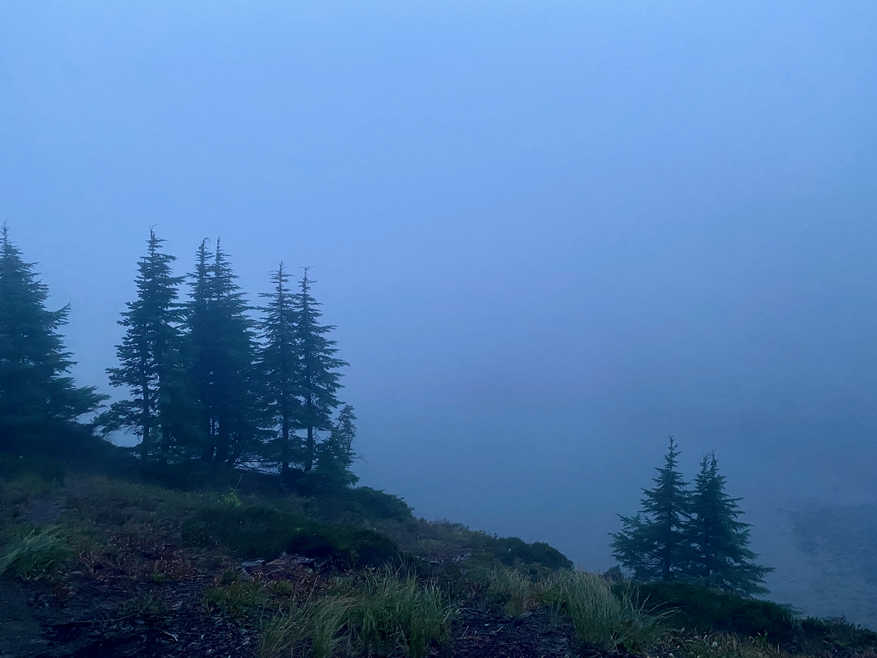
The night is lovely, cloudy skies, a bit windy. The next day, I dayhike up to the summit, and down the trail on to Lost Lake, where I’ve camped before. From up here, I can see much of the areas burned in the wildfire. It’s interesting to note the areas that were burned in a mosaic pattern, and the areas that burned more completely, one area on the broad flat top of lower Coal Creek Mountain obviously burned very hot – I can see the change in the snags and surrounding soil, even from here.
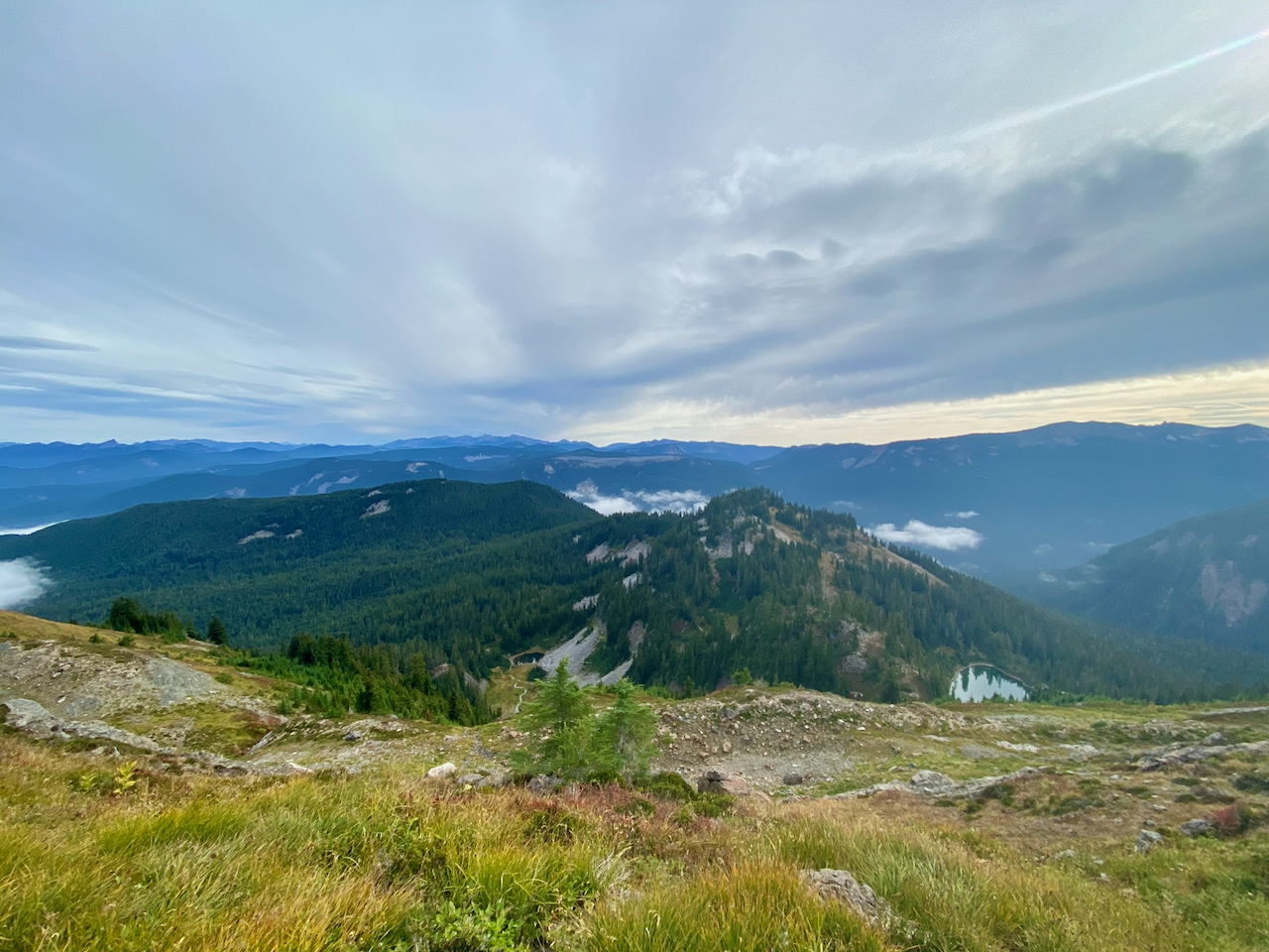
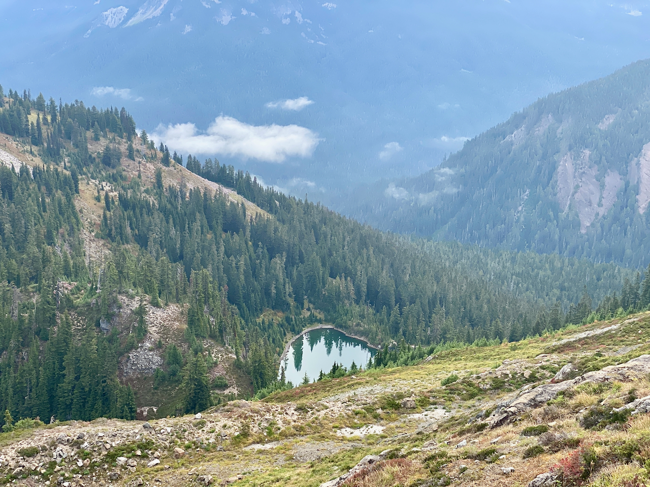
Lost Lake is low this late in the year, with a broad shore exposed, and I explore a bit of it after sitting in a nice sunny area for a relaxing lunch break. After a while, I turn back up the trail, and return to my camp on Lost Hat Lake. The weather is turning, and the wind has definitely picked up, clouds moved in, the the temps have dropped. While getting ready to cook up dinner, I note with alarm the wind has whipped my sleeping bag out of my hammock, and it is now flying across the ground 100′ below me, and into the lake! NOOOO!!!!!!!!
Fortunately, there is a rough path leading down the steep rock to the water’s edge, I run down it, and to the far shore, as by now my bag has landed atop the lake and is scudding across it. Fortunately, the taffeta and goose down repel water, and it never does sink. I arrive at the far shore just as it does, snatch it out of the water and give it a shake – it’s a bit damp, but not wet. I could not be more fortunate!
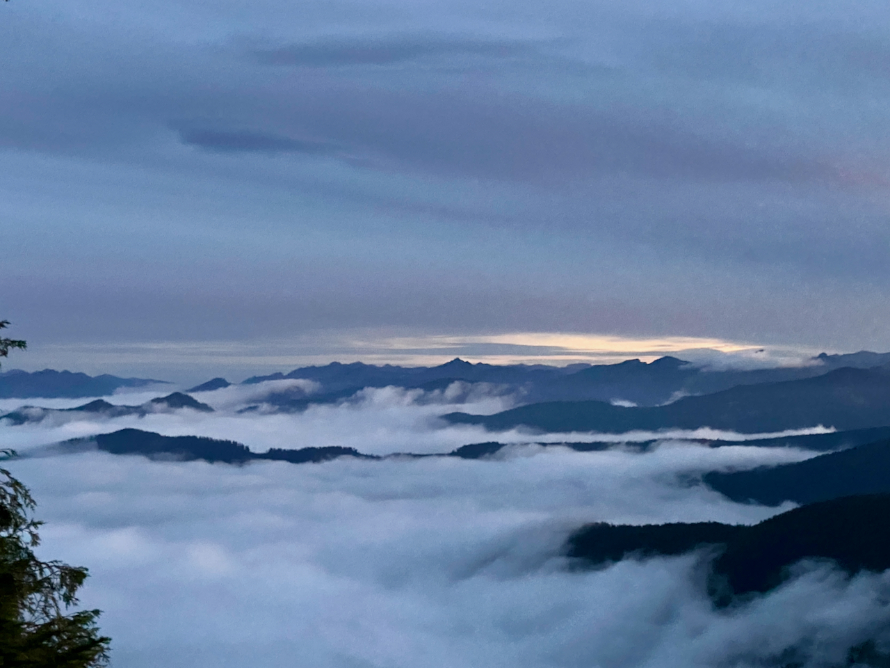
Obviously, I’ll be sleeping on the ground tonight. The wind is whipping about so hard now that I have a difficult time taking my hammock down. Drama over, I cook up my dinner and hunker down for a stormy night. While the wind remains strong, and the clouds are definitely wetting things down, it never does rain, and I remain cozy and dry. In the morning, I break camp quickly, and descend down to that little tarn, where the weather is much milder.
I take an hour to enjoy my breakfast and more coffee, then strike off down the trail. It’s midday when I get back to my truck.
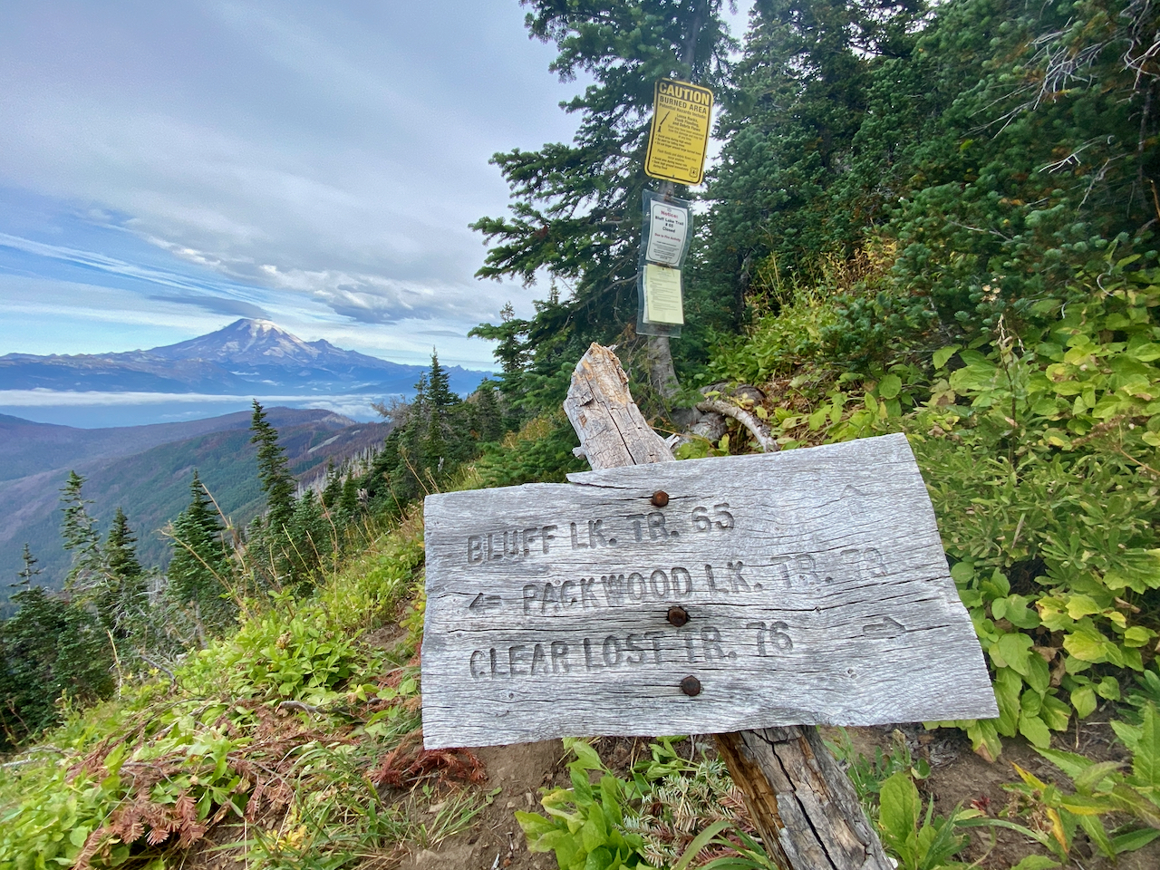

Images taken September 16-17, 2023, in the Goat Rocks Wilderness, along the Clear Fork Trail #61, Clear Lost Trail #76 and Packwood Lake Trail #78, GPNF.
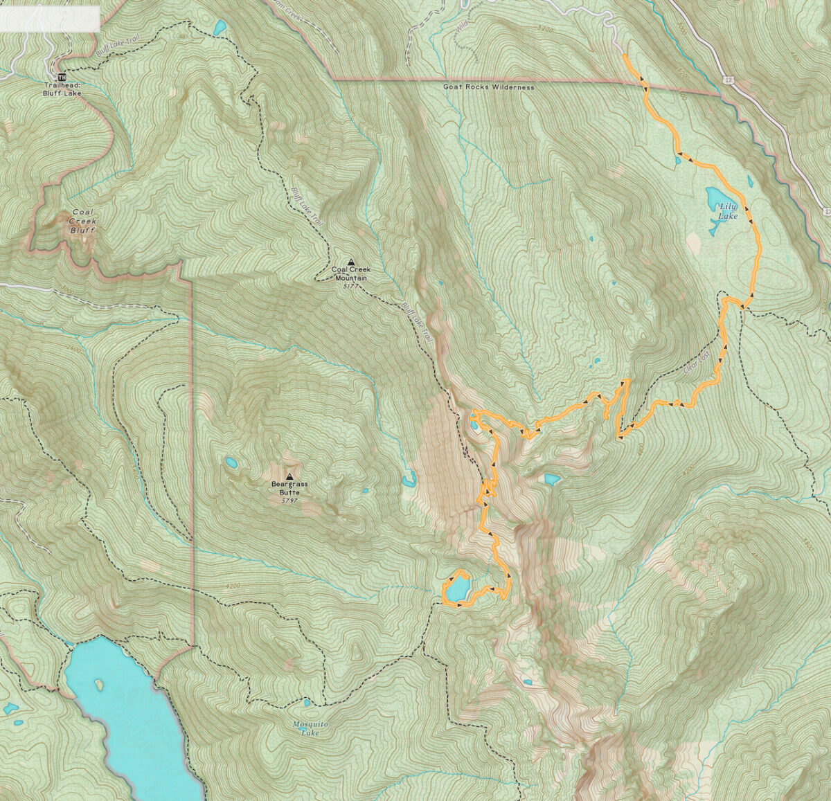
18.6 miles hiked, with an elevation gain of 4,462′
Leave a Reply