Category: Hiking
-
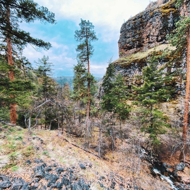
20220425 Bear Canyon, OCWA
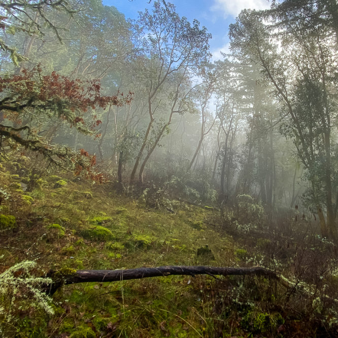
Having attempted this canyon previously, and failing to make it all the way up the trail d/t overgrowth, I was eager to have another go at it. I also recalled a trail branching off up a side canyon I wanted to explore. I didn’t make it far up that side canyon, but it was quite…
-
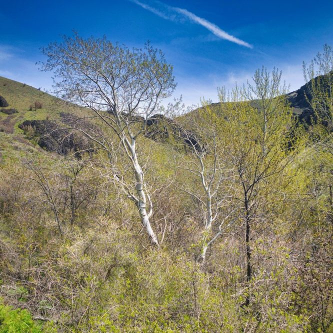
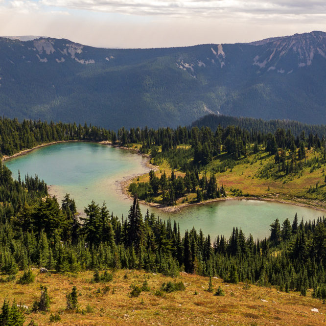
20220424 Waterworks Canyon Loop, Oak Creek Wildlife Area
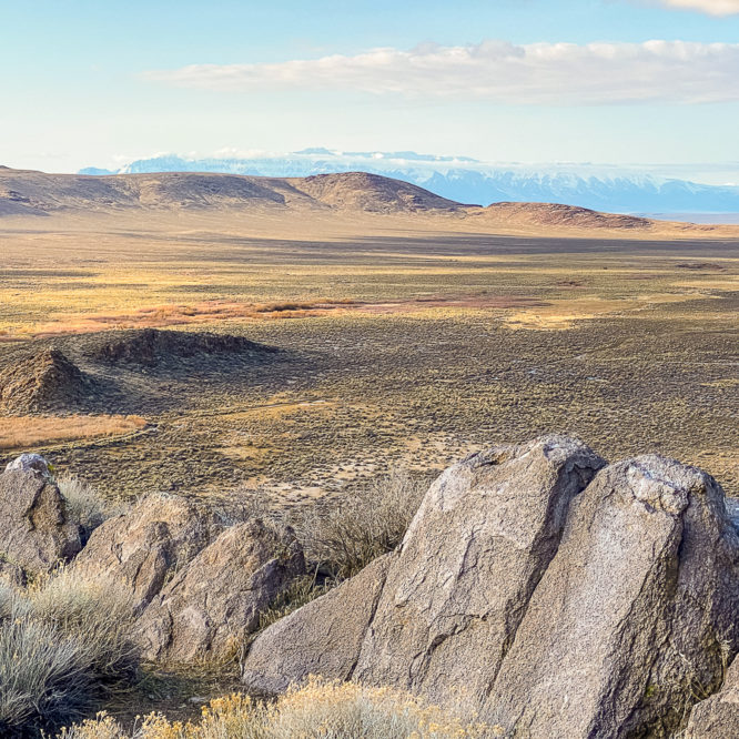
Spring Flowers! A sunny day, a desert canyon, wildflowers, ridge top hiking. This trip had it all. I parked across the hiway from the trailhead at the WA DNR property alongisde the Naches River, just up the road from the Hwy 12 Y, which makes for a nice camp. The trail heads up the Waterworks…
-
20210915 Tatoosh Wilderness Loop, GPNF
Tatoosh called and I went. All the way. Up, over, and around, and back. By boot and by bike. And it was amazing! The night before, I had driven in to the valley and up to the Tatoosh North TH, way up Butter Creek Rd (USFS 5270) and ditched my bike out of view in…
-
20210816 Tatoosh Mtn, GPNF
Low-key weekday retreat to the river for some soul-healing, and some sole-healing. I’ve hurt my foot, so I needed to take it easy. I decided to drive up to Packwood and find someplace along the river – the weather was forecast to be cool, cloudy, and dampish, with really low overnight temps. Sweet! I arrived…
-
20201214 Kaiser Woods
A visit to the Oak and Madrona grove at Kaiser Woods, Olympia WA
-
20210313-19 Willow Creek Hot Springs Campout
Back to the hot spring at Willow Creek for a birthday bike-n-hike-n-soak retreat. I spent Saturday thru Friday alternately soaking in the hot spring, biking up BLM roads, or hiking up roads, trails and x-country in an exploration of Willow Creek and Whitehorse Butte. Highlights include snow, wind, rain, sun, wind, flying alkali grit, amazing…
-
20210119 Summit Creek Campout, GPNF
More of a laze-about than an adventure… I drove up to the valley with no real destination in mind. I travelled up William Creek (USFS 47 Rd) with an eye to finding some area to hike about and camp overnight, and maybe do a bit of snowshoeing, but turned about and headed up the highway to Cortright Creek…
-
20200916 PCT – Tipsoo Lake to Bear Gap, OWNF
Smoke continues to fill the air this weekend as I set off on a hike from Tipsoo Lake to Bear Gap along the PCT in the Okanagon-Wenatchee National Forest, north of SR 410, outside MRNP. With SR 410 closed at Enumclaw, and SR 12 closed at White Pass, I thought perhaps this out-of-the-way corner of…
-
20200907 Leech Lake to Shoe Lake via PCT, GPNF GRW
Memorial Day Weekend is a holiday in which I generally stay home. My favorite haunts are usually overwhelmed with Packwood Flea Market tourists and hordes of recreationalists. This year, however, the game has changed. The rules were tossed out the window. Packwood was practically deserted. I start my day by heading out the door at first light, hitting the…
-
20200723 Klickitat Trail, Cispus Peak & Pompey Peak, GPNF
Having left Summit Creek and passed thru Packwood, I hung a left at USFS 20 Rd, the Smith Creek Road. This road winds its way up into the mountains south of Hwy 12 a few miles before town. The road is long, and entirely passable. I was too busy drinking dirty chai to make good…